Coast Mountain Circle Route
Winter on BC's Coast Mountain loop
Combining some of BC's most stunning scenery, the Coast Mountain Circle Route is a fantastic roadtrip. From the lush coast and forests around Vancouver to the towering mountains of Whistler to the arid ranchlands and sculpted canyons of Lillooet and Lytton, there's an adventure waiting around almost every bend of highway. At only 700km (430 miles) it's possible to tackle it in a long day's drive, but with numerous sights and stops and side trips we recommend at least 3–7 days.
This winter we teamed up with BMW Canada to take the exhilarating new X3 out for a spin. It was the perfect car for the varied terrain and conditions — from the city to icy freeways to dusty backroads, it was nice driving something so comfortable and capable. And with the snow-packed passes and frosty deserts we couldn't have appreciated the heated steering wheel more. Onward!

Vancouver to Whistler
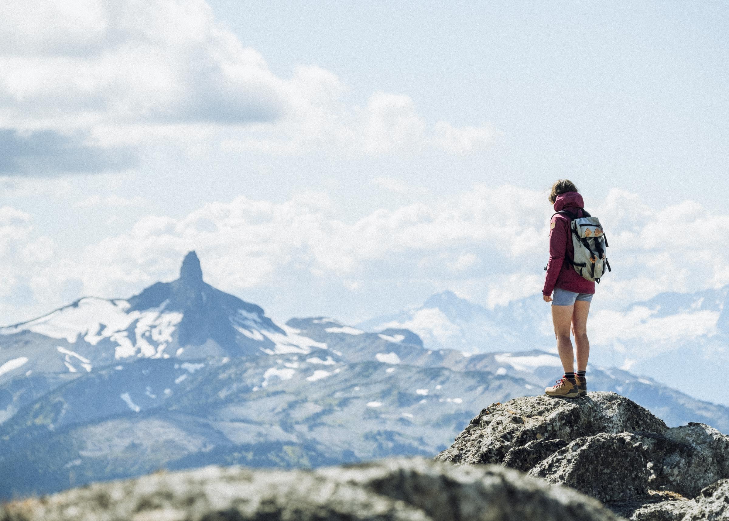
While you can drive the loop in either direction, it just felt right to start on the Sea to Sky Highway. Crossing the Lions Gate Bridge to the North Shore, you're out of the city in fifteen minutes — it's always satisfying to round that last corner and see nothing but forests and mountains and green-grey sea spreading out before you. Hugging the shore of Howe Sound, the towering granite face of Stawamus Chief soon comes into view, then the snow-covered flanks of Garibaldi and the Tantalus Range as you begin the long climb into the massive ice-capped mountains of Whistler.
—
As you approach Squamish, stop by Galileo for a hot drink and take the Sea to Sky Gondola up for some spectacular views over Howe Sound. In the winter months hundreds of bald eagles gather along the Squamish River, and make sure to swing by Fergies for a bite.
There's almost no end of things to do once you reach Whistler. One of the world's most beloved ski destinations, you have a great selection of restaurants and attractions to check out. Wanting to try something new, we booked a snowmobile tour with The Adventure Group. It was fun! And I'm happy to say we only crashed once. Ok... twice.


Whistler to Lillooet
Probably the most scenic section of the loop, the drive from Whistler to Lillooet is truly magnificent. Leaving Whistler, you pass through the towns of Pemberton and Mt Currie and the silt-coloured Lillooet Lake before quickly climbing a set of hairpin curves onto the mountainous Duffy Lake Road. As you ascend the forests change from thick coastal firs to hemlock to scattered pine as you cross the rainshadow and start descending into the arid interior. Broad valleys are replaced by narrow canyons, avalanche chutes by tumbling rockfalls, sloping mountains by steep rock faces. By the time you leave the Cayoosh Mountains you've entered into a whole new country.
—
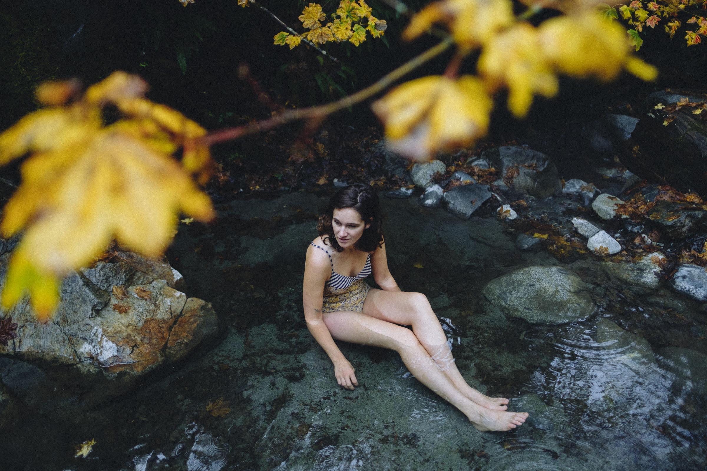
There are many great hikes along this section, but few so famous as the sparkling summer blues of Joffre Lakes (which are decidedly white in winter). Stop at Duffy Lake and the scenic Seton Lake lookout at the entrance to Lillooet.


Lillooet to Lytton
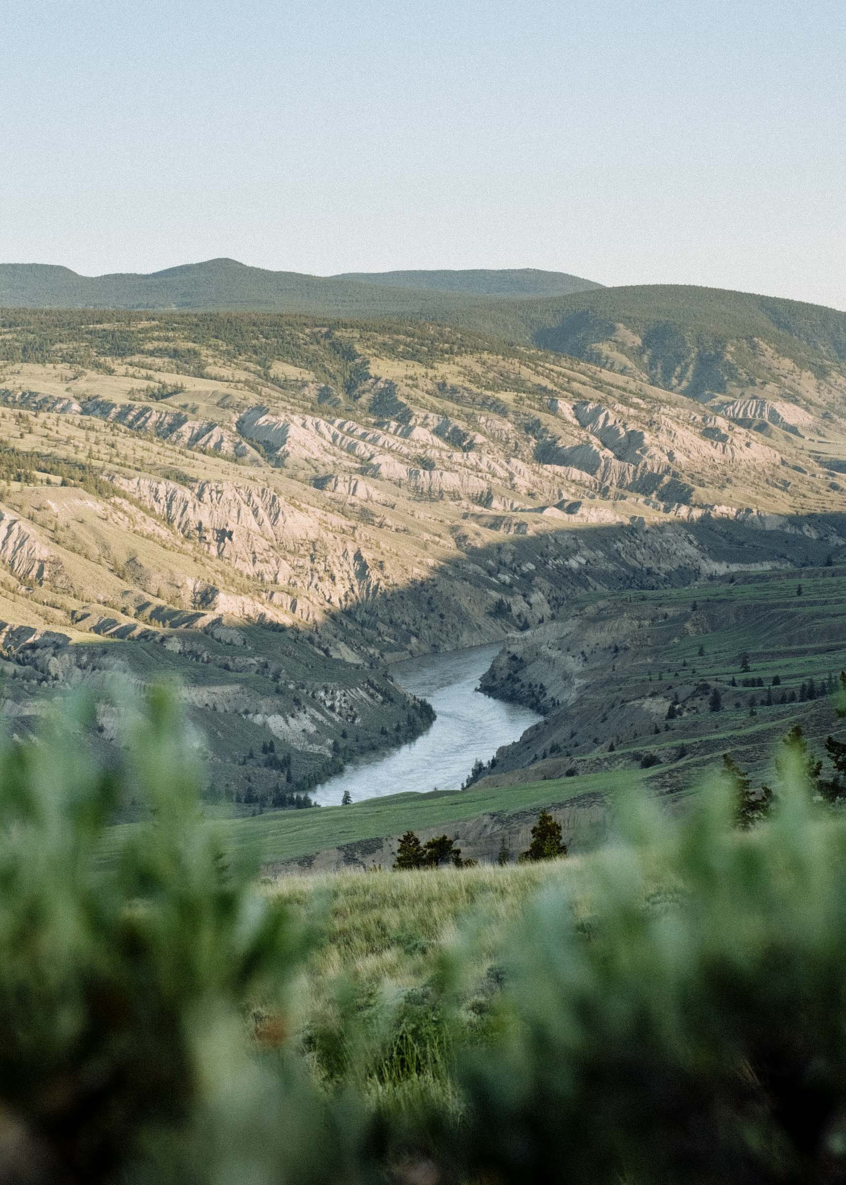
The landscapes between Lillooet and Lytton offer a startling change from the coast: bare rocky hills, rangey fields, sagebrush scrub, and cactus-lined canyons. This is the start of the historic Goldrush Trail, and where the coast mountains meet the arid interior plateau. Continuing on Hwy 99 you pass the Fraser River Benchlands, natural shelves of ancient riverbed left stranded high above the river as it slowly carved out deep canyons, and turning down the Cariboo Hwy onto the Trans-Canada you follow the Thompson River as it tumbles towards Lytton. This is some some truly beautiful country.
—
Be sure to take in all the scenic pullouts as you approach the town of Pavillion. Stop in at the historic Hat Creek Ranch (sadly, only open in the summer) for a taste of the old gold rush wagon routes, and marvel at the barren landscapes around Cache Creek. Stop in at Goldpan and Skihist Provincial Parks, and marvel at the confluence of the clear blue Thompson and the muddy Fraser at Lytton, which offers some world-class rafting in the warmer months.


The Fraser Canyon
At one time the primary highway linking the coast to the interior, the Fraser Canyon Hwy has seen a sharp decline in traffic since the breezy Coquihalla Hwy opened. It's a shame, really, as this is one of our favourite drives. The highway hugs the curving banks of the Fraser Canyon, the mountains rising sharply to dizzying heights and looming larger and larger as you approach the coast. The narrow valley begins to open up at the historic townsite of Yale, at one time the largest city north of San Francisco and west of Chicago, but you don't get a true sense of scale until you hit the vast Fraser floodplain at Hope, the charming mountain town that marks the beginning of the rich farmland that extends all the way to Vancouver.
—
In summer, stop at the Hells Gate Airtram for a closeup view of the rapids which stymied early explorers and prospectors with 200 million gallons of water thundering through a 33 meter gap every minute. Visit the Tuckkwiowhum First Nations heritage site for a glimpse of life before European contact, and stroll through the engineering marvels of the Othello Tunnels.
Continuing down the highway the city slowly begins to swell around you, almost imperceptibly at first, the farming towns slowly merging one into the next. The mountains become gleaming glass towers, and traffic begins to build. You cross the mighty Fraser one last time and disappear back into the city.


Big thanks to BMW Canada for helping make this trip possible


