The Gold Rush Trail
Discover BC's history from the Fraser Canyon to the Cariboo
Centuries of travellers have felt the pull of BC's Gold Rush Trail. From yesteryear’s arduous weeks-long trek promising untold riches to today’s stunning three-day roadtrip, it has long been a beautiful and varied journey, rich in history, with a lot to see and experience along the way.
This summer Cariboo Chilcotin Coast invited us out to Gold Country, to travel from the towering Cayoosh mountains of Lillooet up the sculpted canyons of the Fraser River to the rolling lake-dotted ranchland of 100 Mile House to the moose- and bear-filled forests of historic Barkerville. Following the trail of the early miners and prospectors who worked their way up the Fraser in search of gold, it is one of BC's best road trips and honestly we can't recommend it enough.


Part 1
LILLOOET TO CLINTON
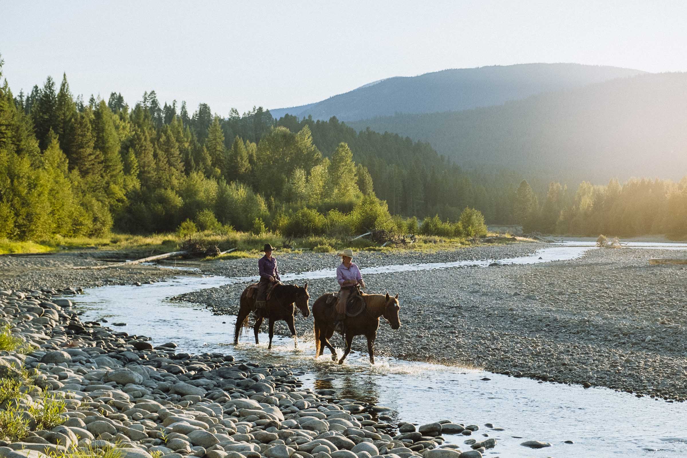
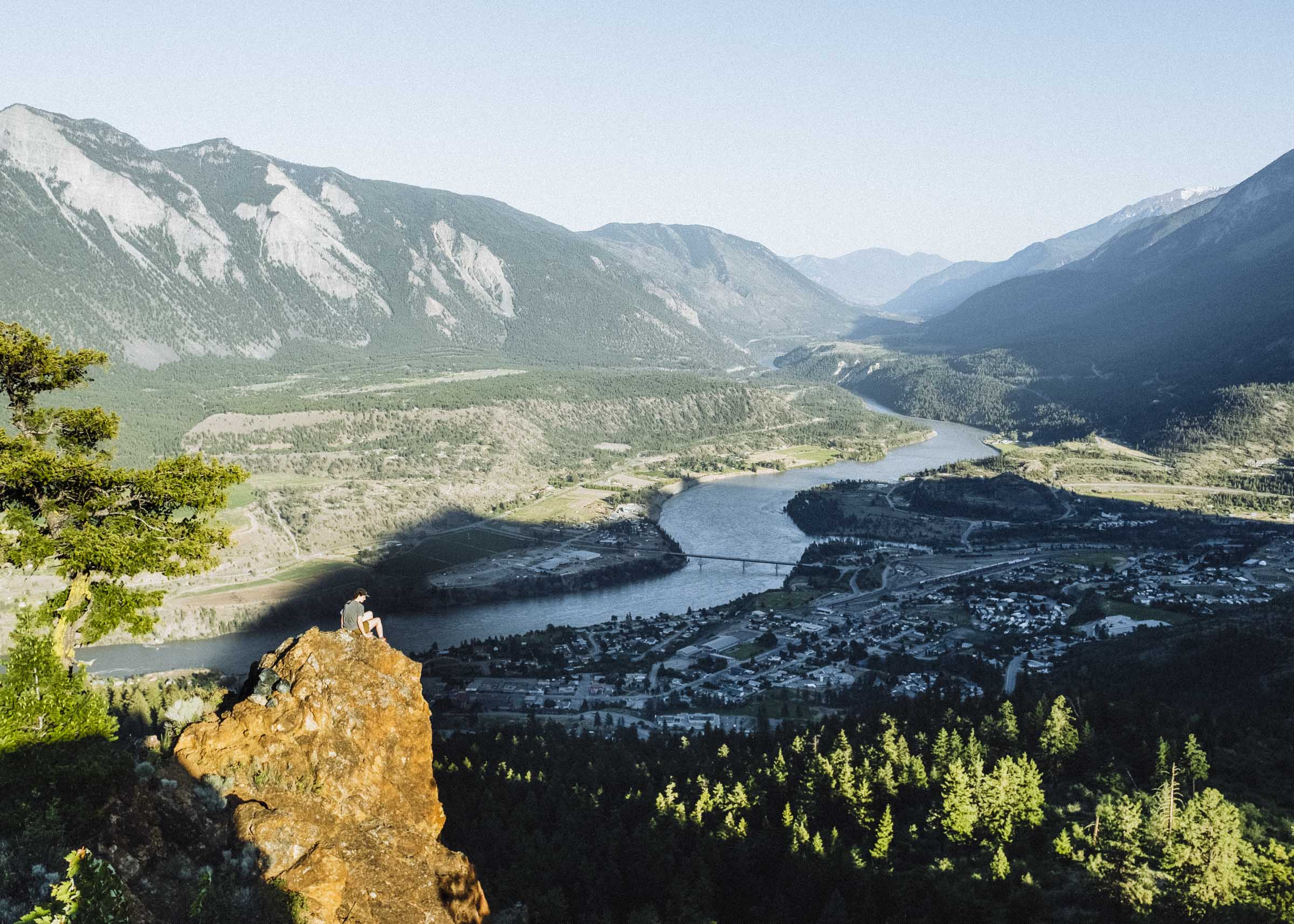
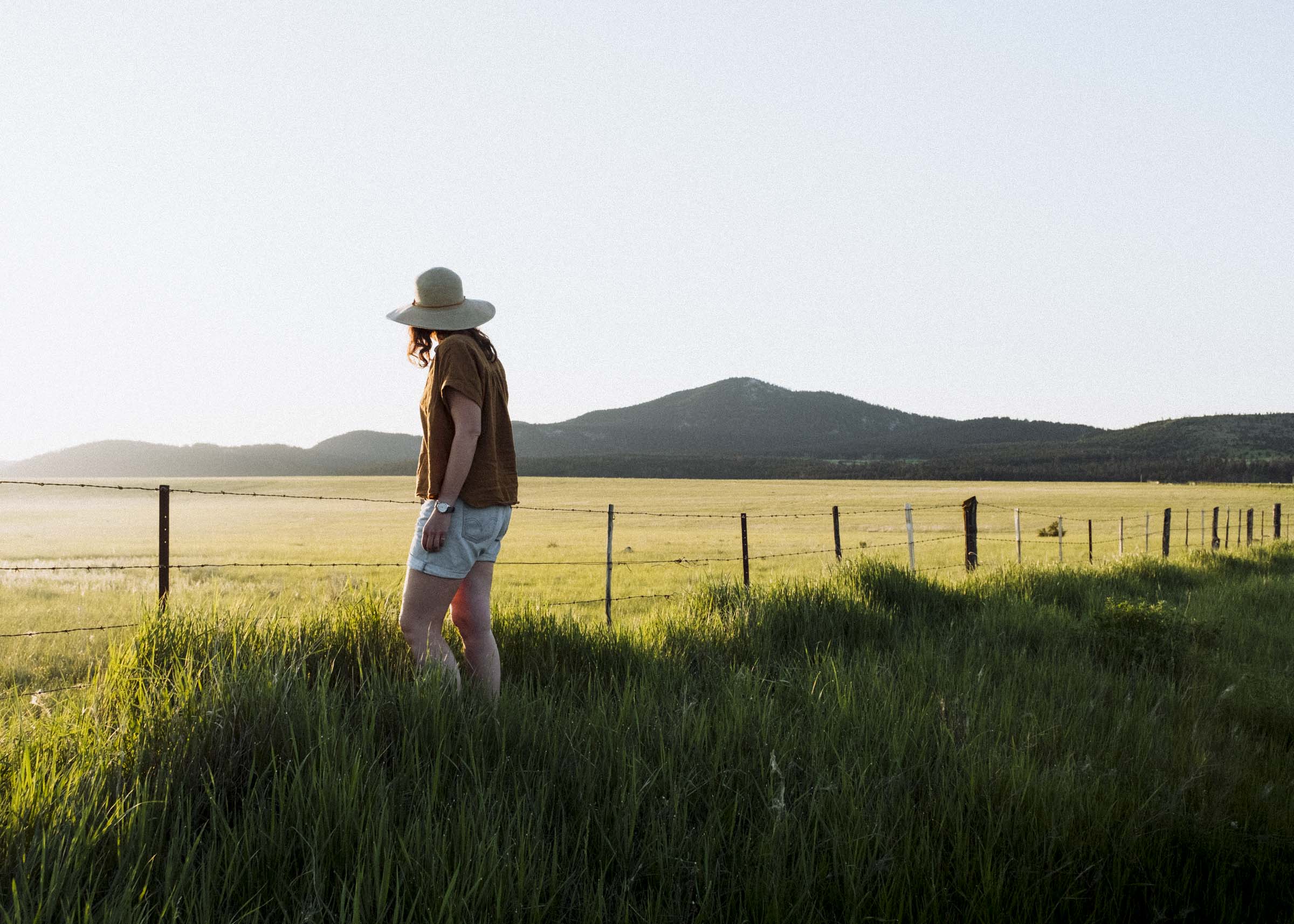
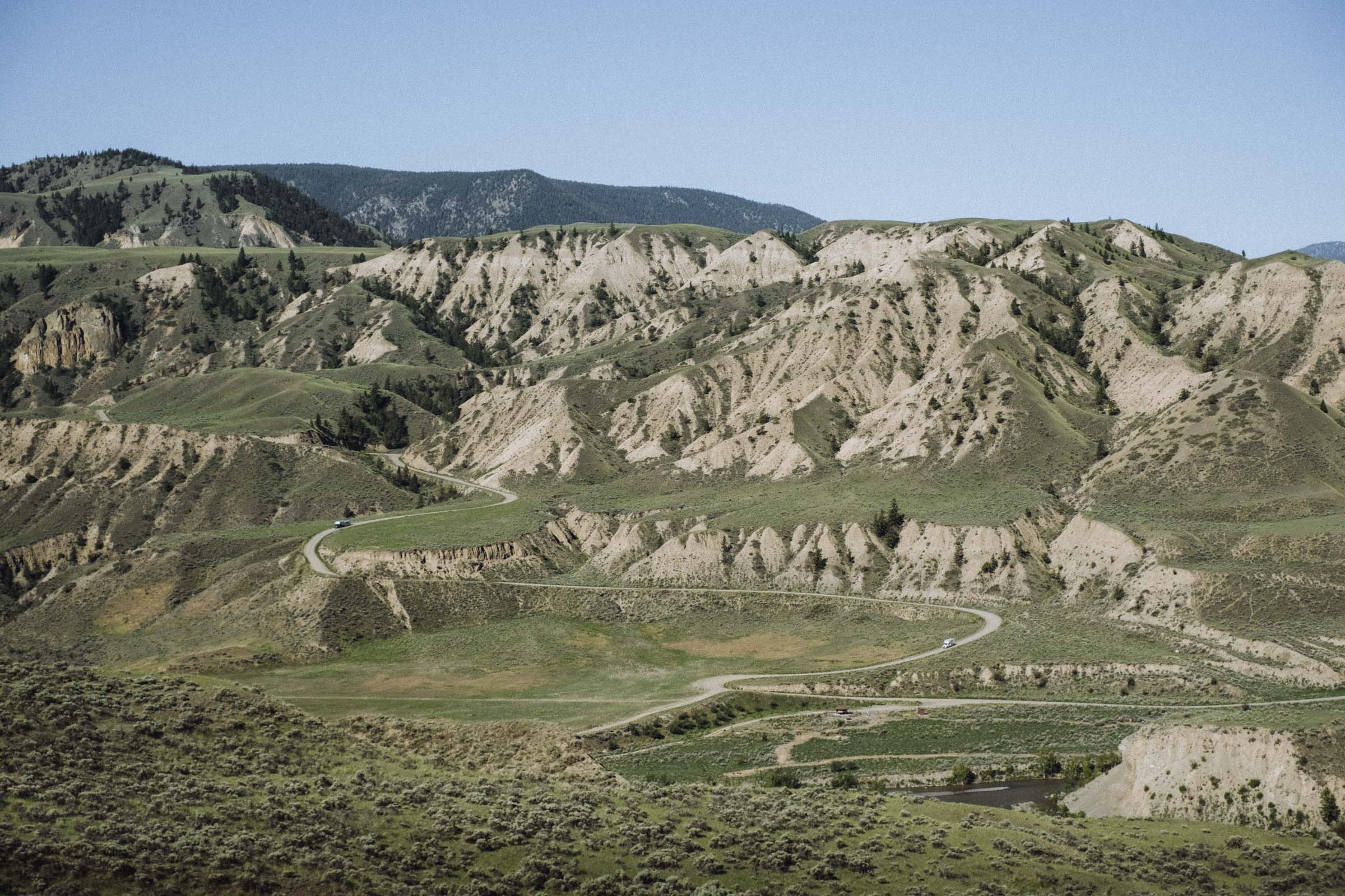
Our journey began in Lillooet, "Mile 0" of the Old Cariboo Road. Over the years the Gold Rush Trail has shifted course as increasingly easier and more efficient routes opened up, but in 1859 when word of the Cariboo gold strikes first reached the outside world there was just the one route up the Douglas Road from Harrison Lake to Lillooet and then overland to Alexandria and Barkerville. Although this section was soon superseded by the more famous Yale / Cache Creek route, to this day the roadhouses and communities are named for their distance from Lillooet. And for good reason too — this is one of the most scenic stretches, and not to be missed.
Surrounded by towering rock walls and deep intersecting valleys at the foot of the Coast Range, you'll find stunning views in every direction. Lilloet's climate is hot and dry, the air filled with the aromatic scent of wild sage. Stop in for fresh sandwiches and cinnamon buns at the Rugged Bean Cafe, see the stately old Miyazaki House, then head over to Fort Berens for some wine.

FORT BERENS WINERY
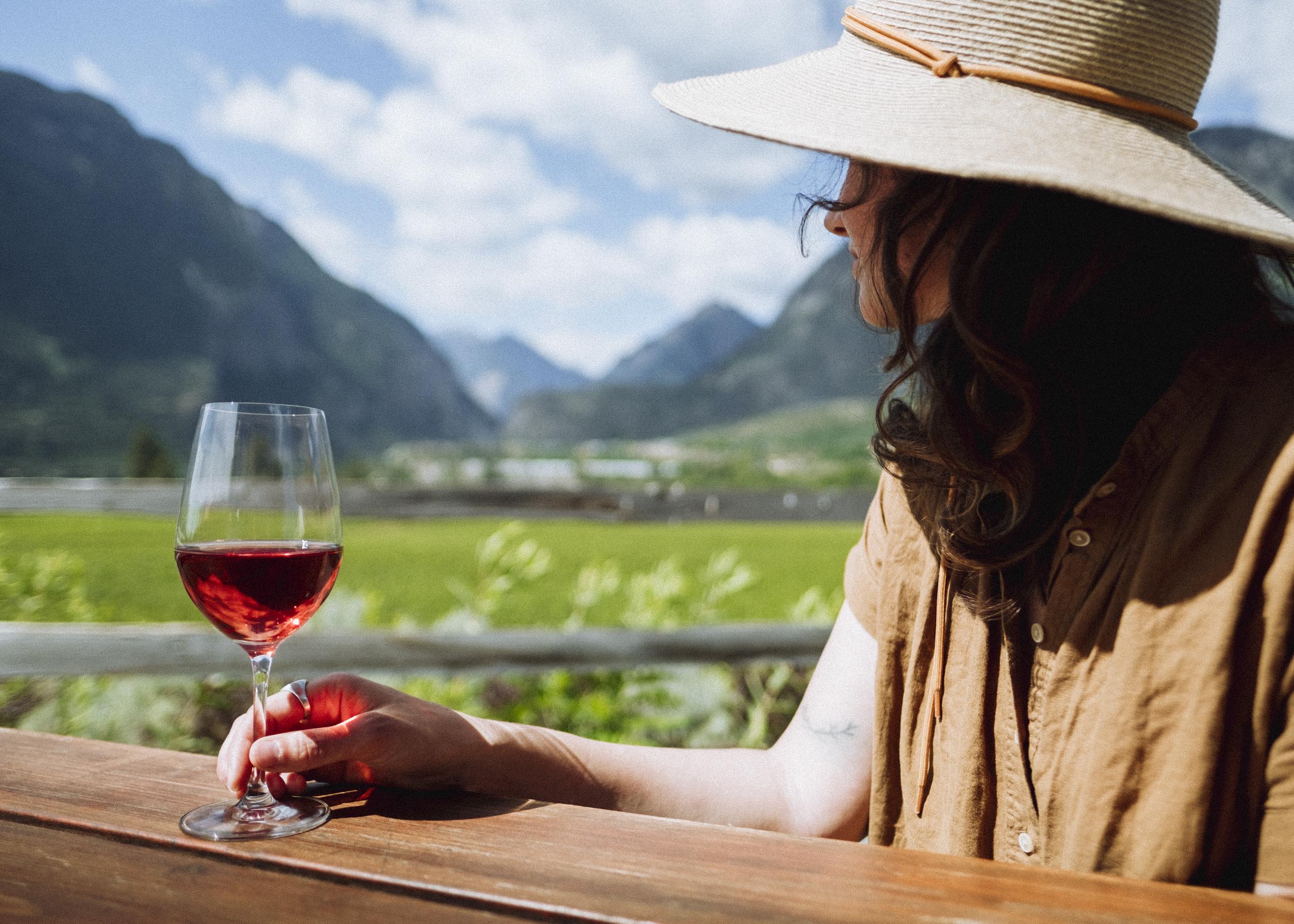
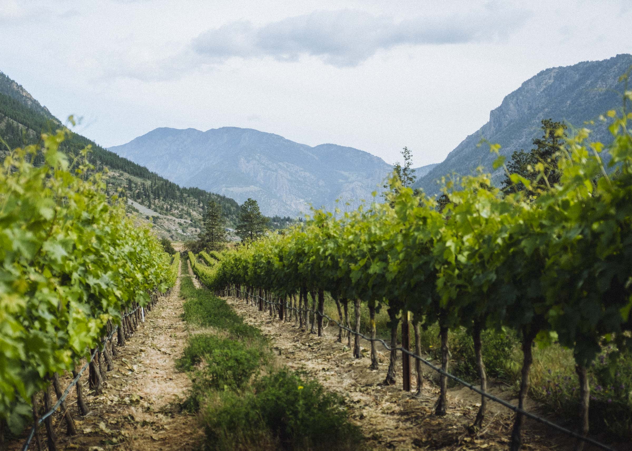
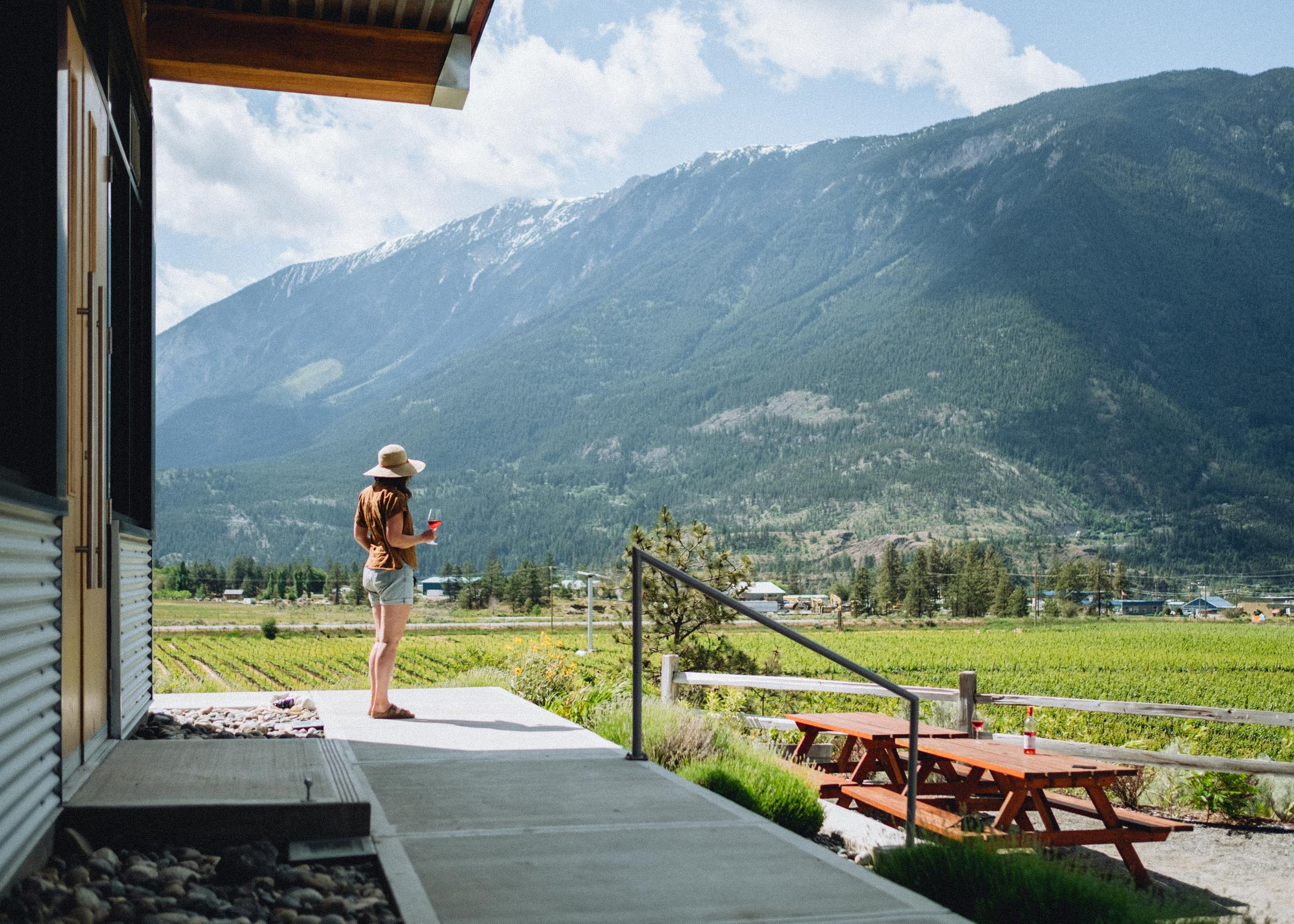
Among the more surprising stops of our trip was the Fort Berens Estate Winery. It's hard to imagine a more picture-perfect setting for a vineyard and tasting room — perched on a flat bench above the river opposite town, you get sweeping views up the Cayoosh (and down the Fraser, too).
A relatively new winery, Fort Berens is unique both in its latitude (not too many vineyards this far north!) and its quality. With unique terroir and a keen attention to consistency, their whites in particular routinely take top honours at competitions both in Canada and around the world, including the prestigious Lieutenant Governor’s Award of Excellence for British Columbia Wines. Stop in for a wine tasting, grab a local farm-fresh bite from the kitchen, and admire the view.


RED ROCK TRAIL
If you need to stretch your legs it's time to head out to the hills. At the southeastern tip of the Coast Mountain Range, Lillooet has easy access to some of the highest mountains in the province. With the nearby Cayoosh Range, Cantilever Range, and Southern Chilcotins all at its doorstep Lillooet has a lot of mountain adventures close at hand, but if you want sweeping views of the town there's no better option than the Red Rock Trail. It's a relatively easy hike, mainly following an old access road, but the switchbacks are long and meandering so pack some water and plan for 2 hrs or so.

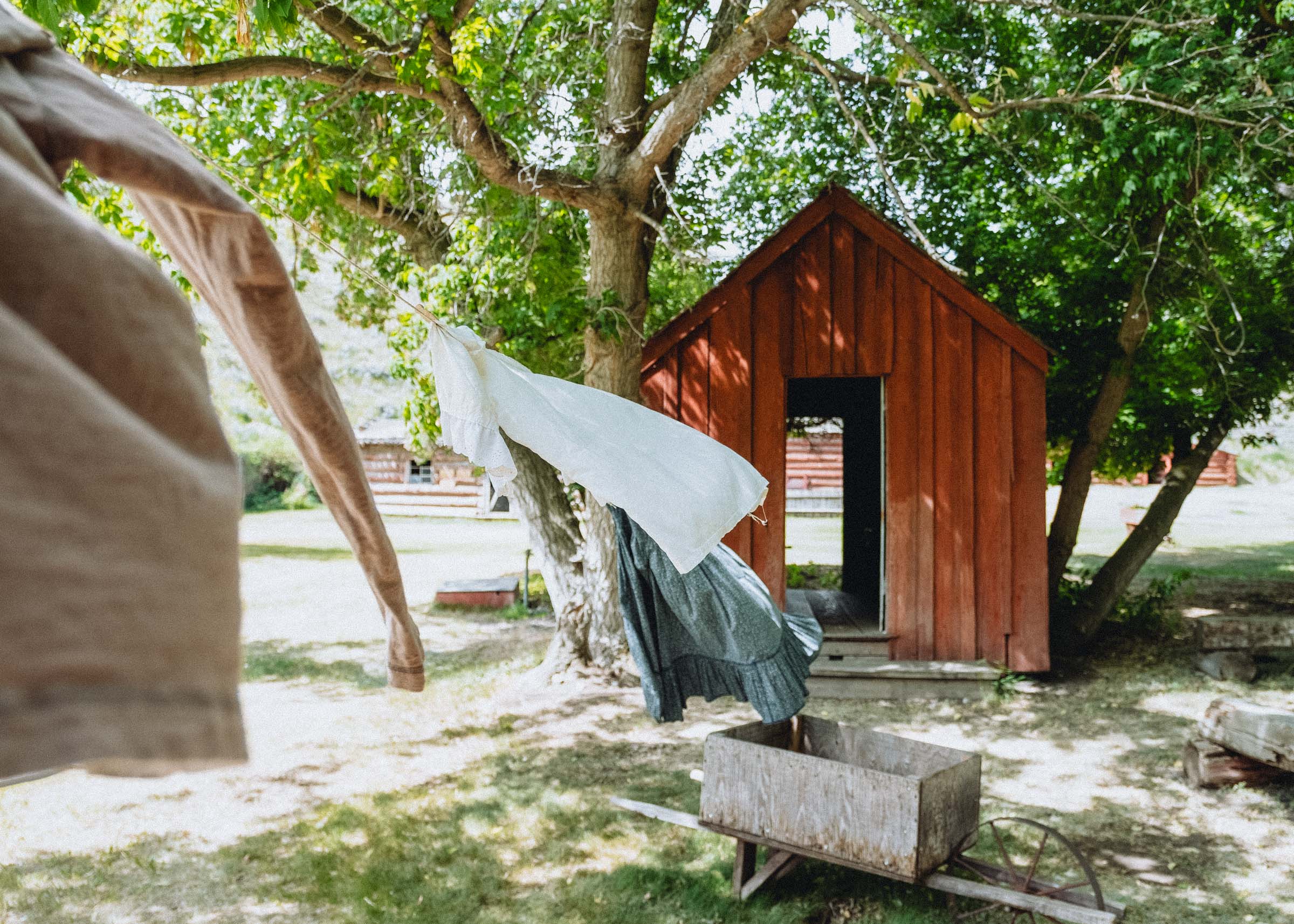
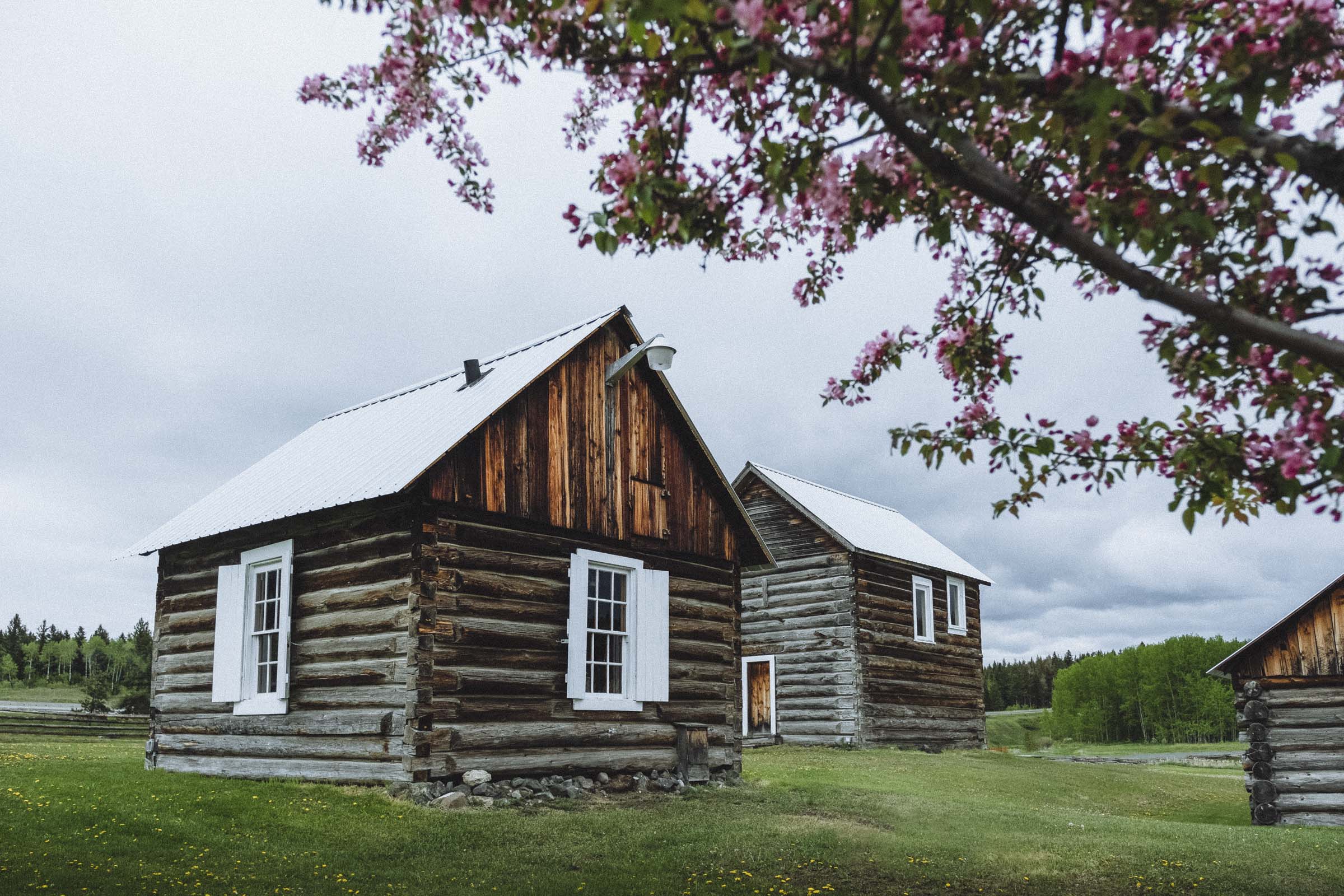
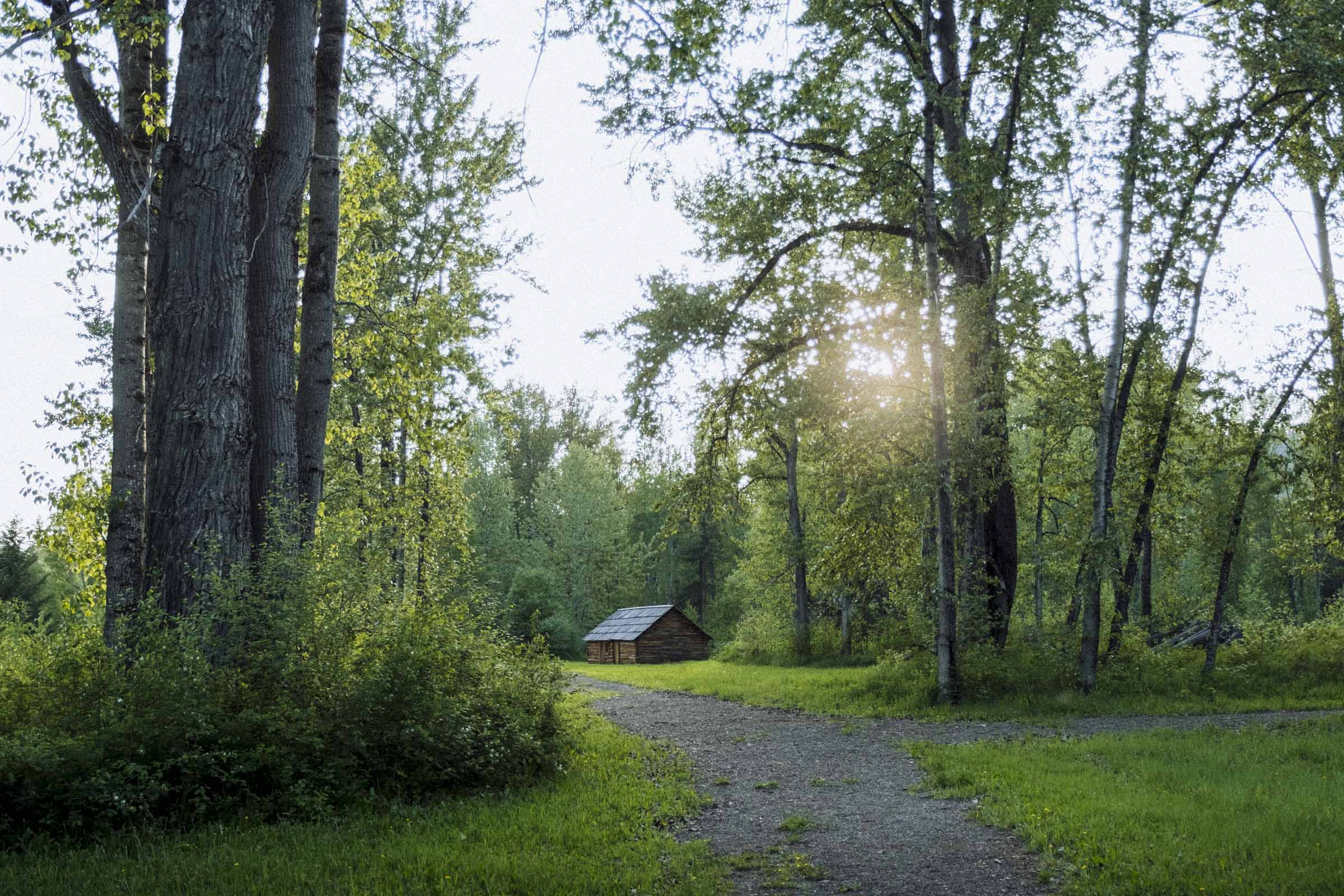
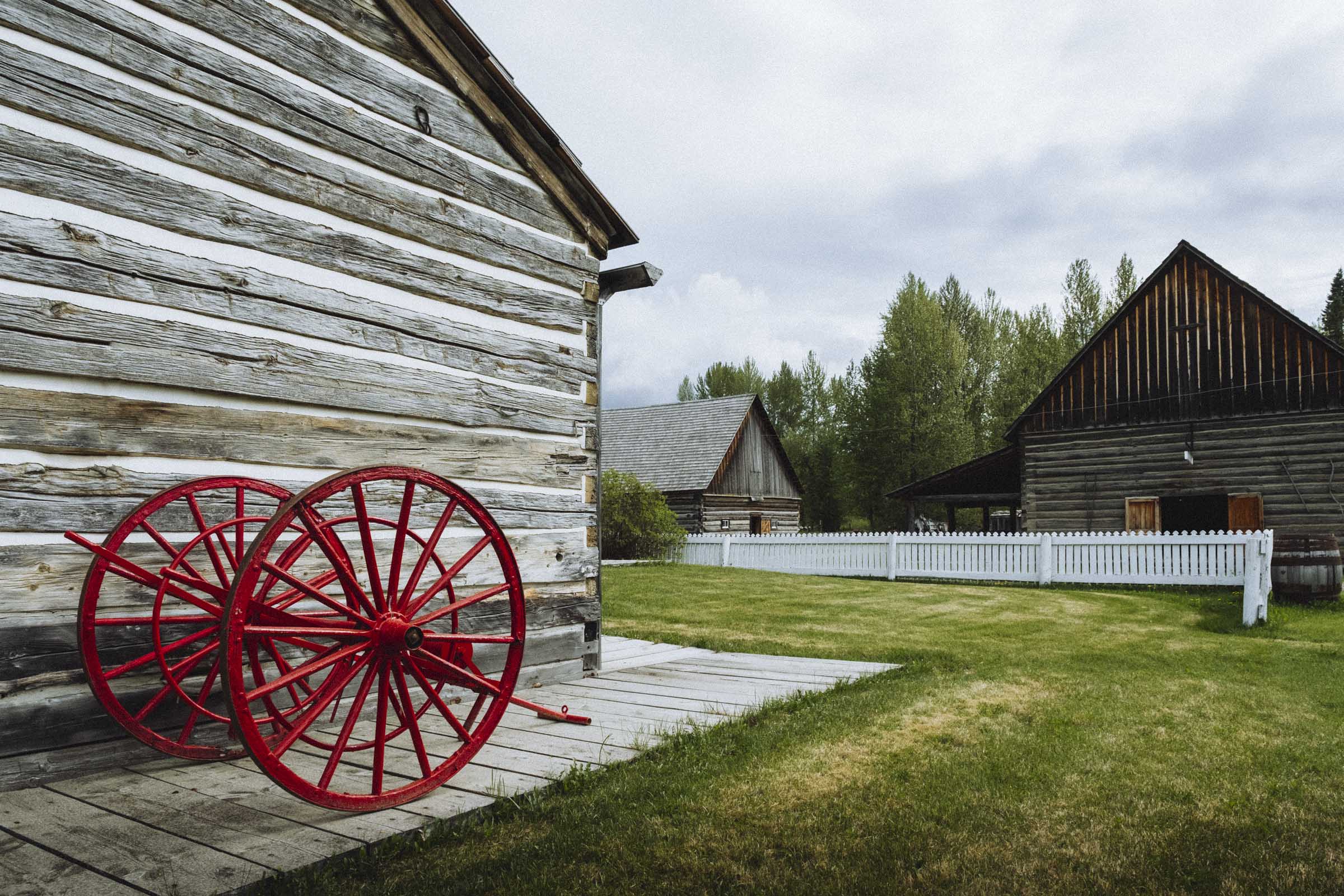
HISTORIC HAT CREEK RANCH
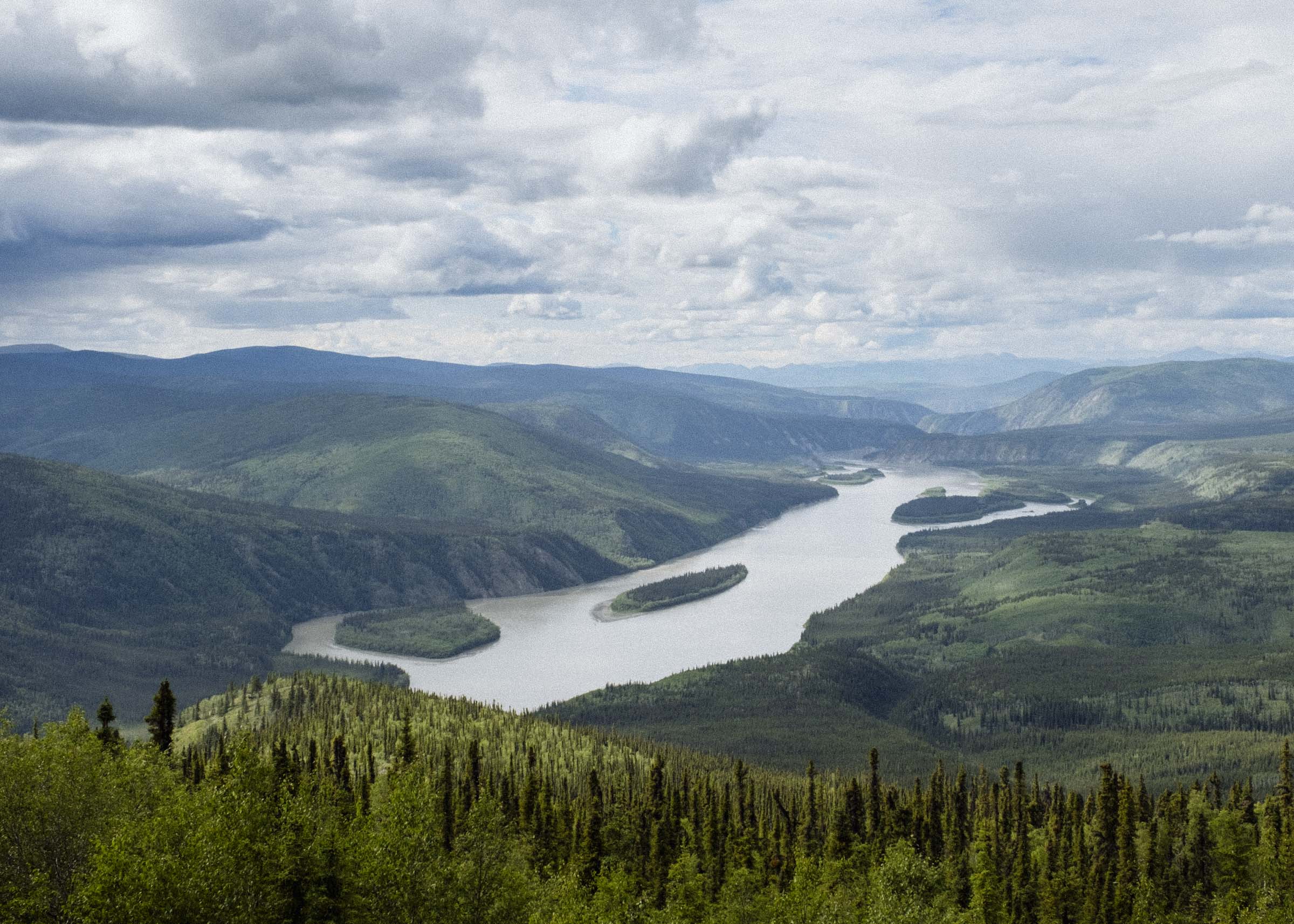
Continuing down Hwy 99 towards Clinton you follow the magnificent Fraser River Canyon — it's a narrow and winding road but be sure to pull off and admire the view every chance you get. Leaving the river at the little town of Pavillion, you pass first Pavillion Lake then Marble Canyon Provincial Park before pulling in to Hat Creek Ranch at the junction of Hwy 97.
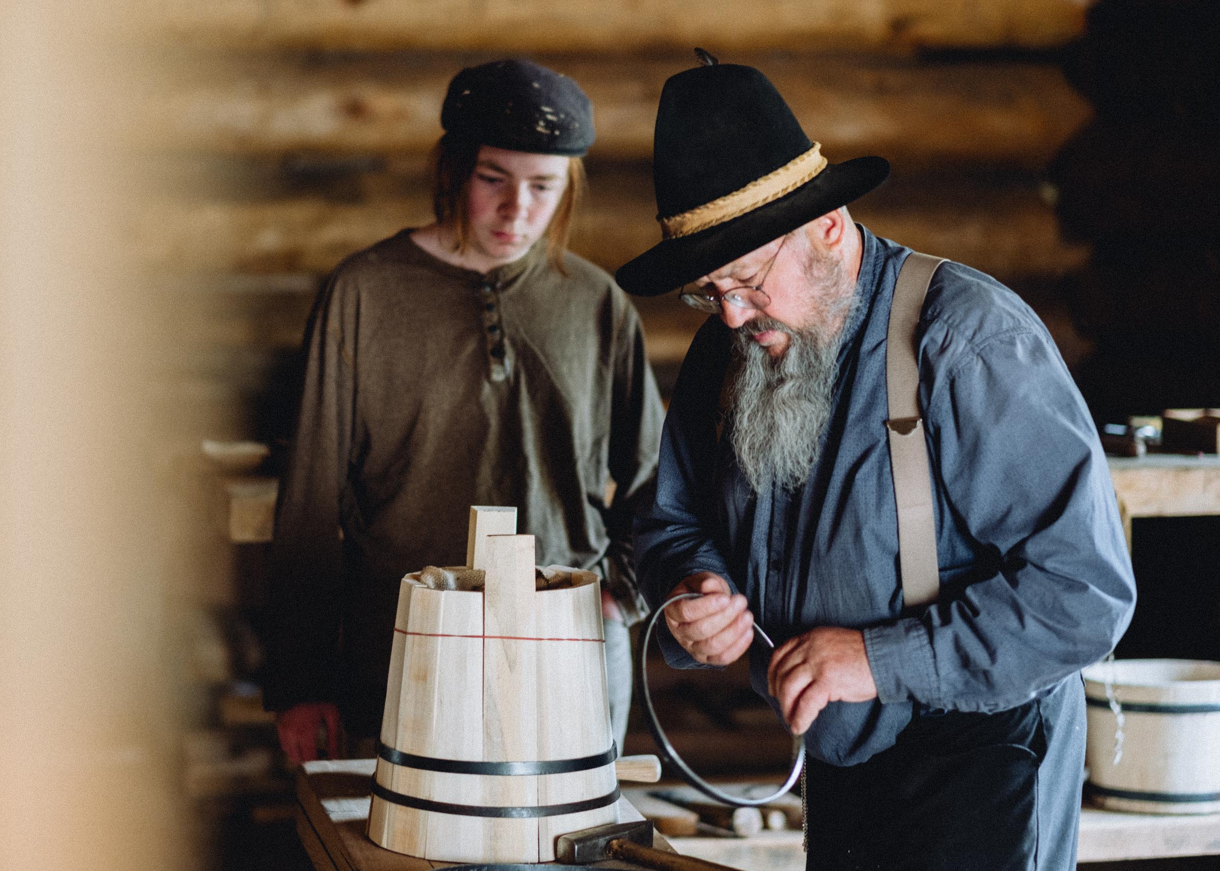
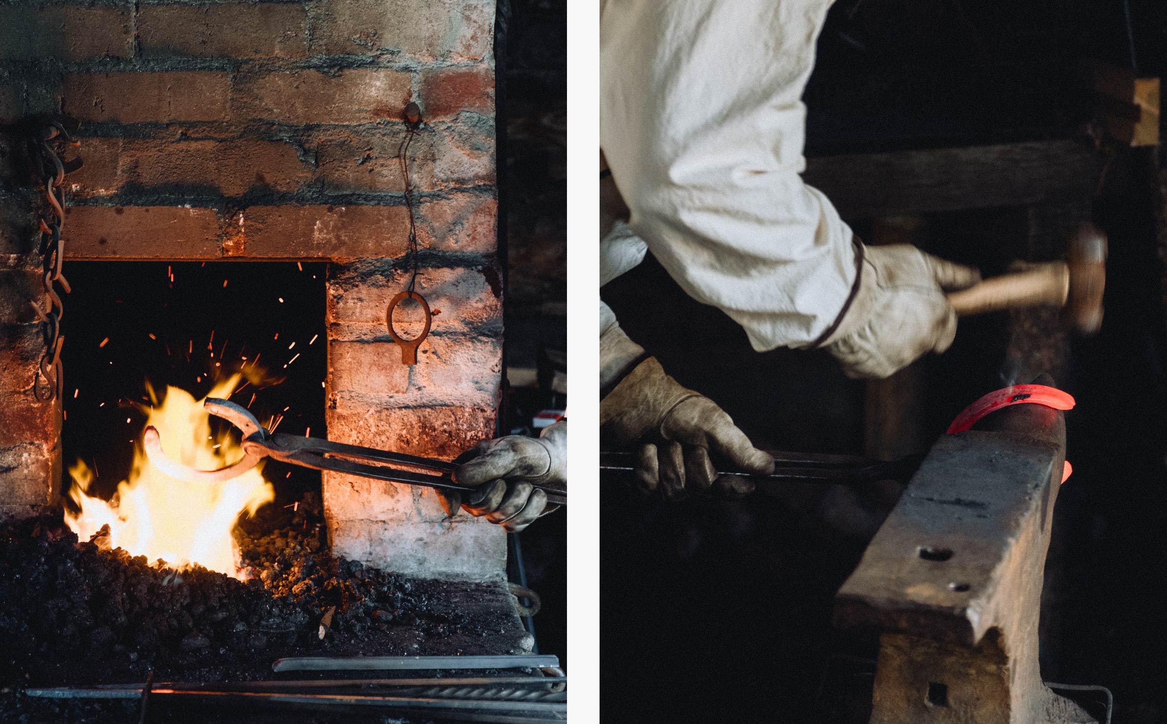
Hat Creek is one of the few original gold rush-era roadhouses still open to the public. We stayed the night in one of the contemporary cabins, and popped in to wander through the historic site before it opened in the morning. But we definitely definitely recommend taking a guided tour — returning after breakfast, we got an incredibly rich and rewarding experience on the tour. It's a fascinating and picturesque place on its own, but getting all the info and context added so much more and helped it come alive. There are enthusiast woodworkers and blacksmiths mussing about in the shops making real things, from buckets to hand-hewn horseshoes, and there's a working garden complete with orchard, horses, pigs, sheep, goats, and chickens. You can feel that all the employees love being there, and it was very infectious.
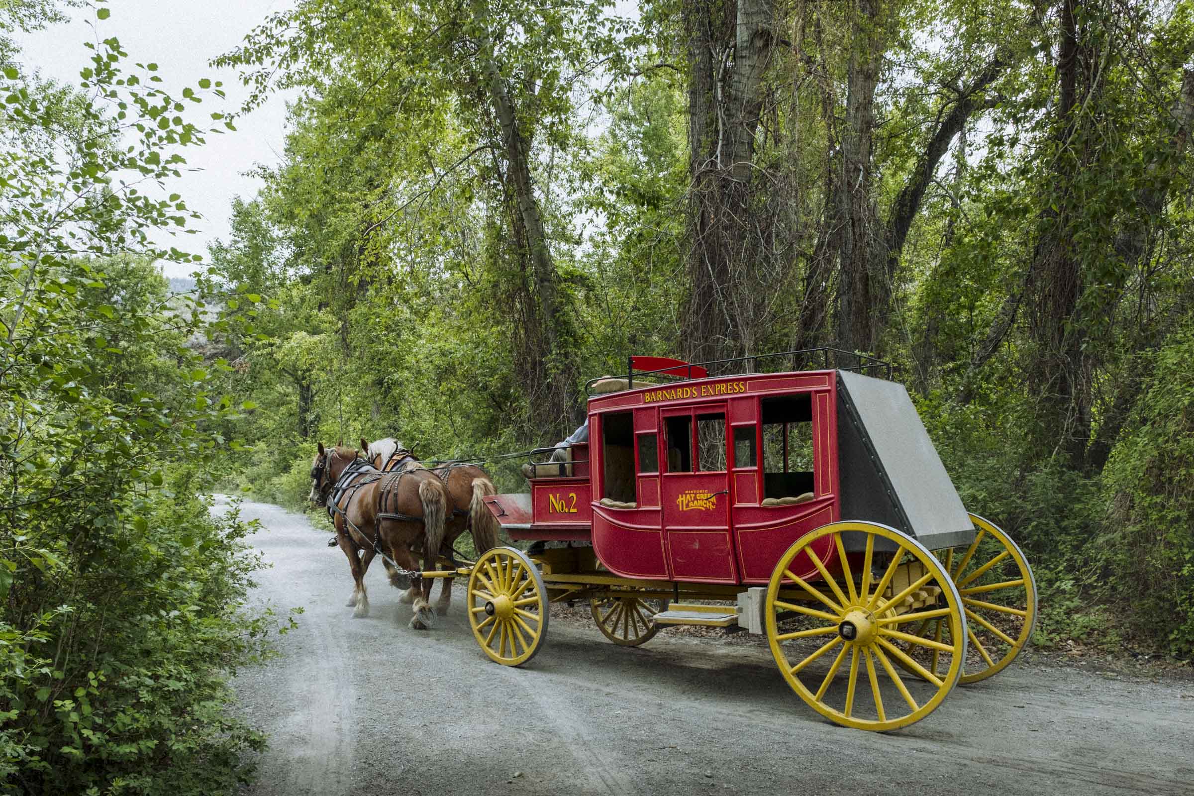
After you're done at the ranch you can hail a horse-drawn carriage and take a short ride up the creek to the Stuctwesemc native interpretive site for a glimpse at different seasonal dwellings, traditional plants, and hands-on info about how the local First Nations lived before contact.


Part 2
CLINTON TO 100 MILE HOUSE
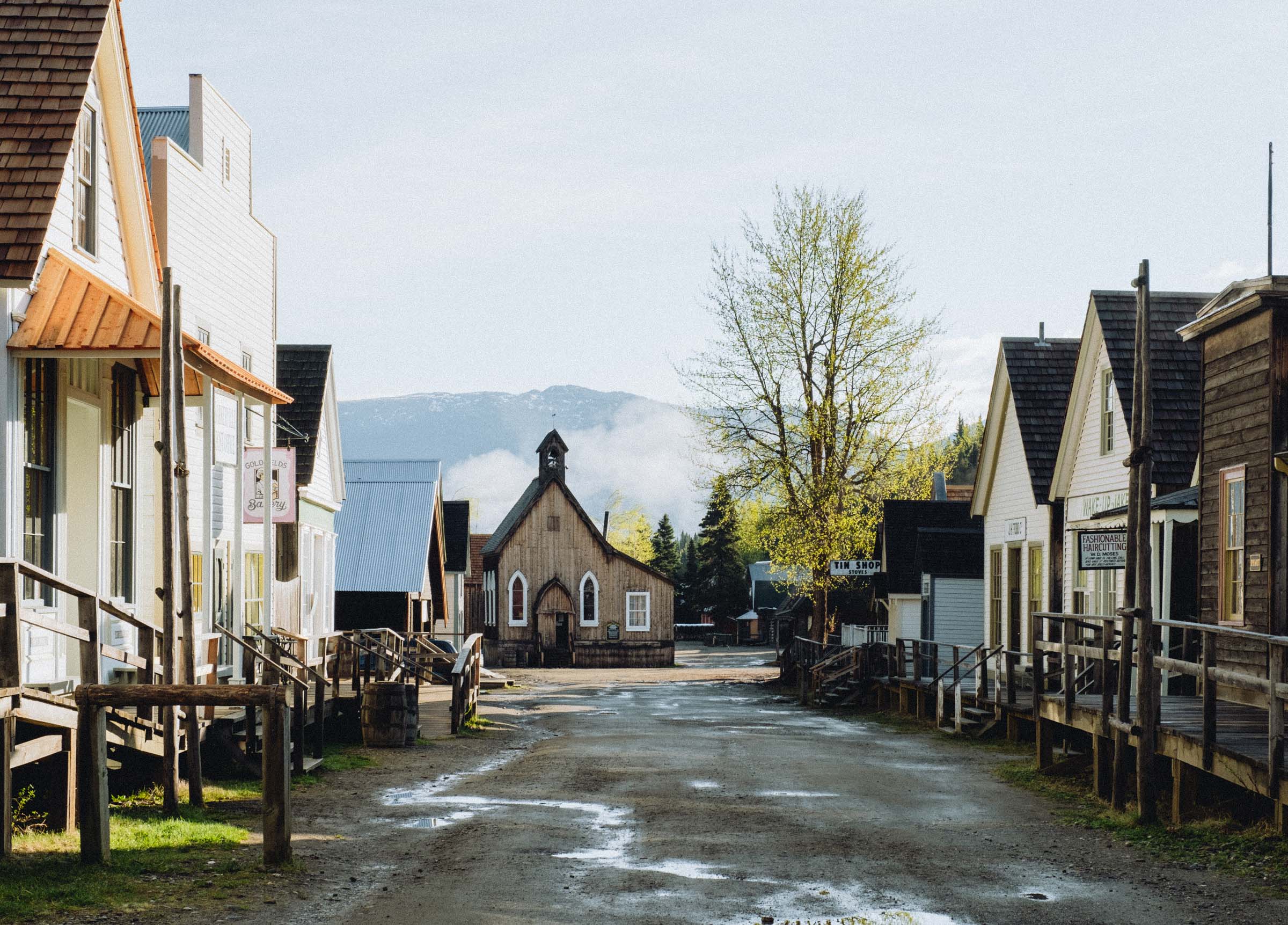
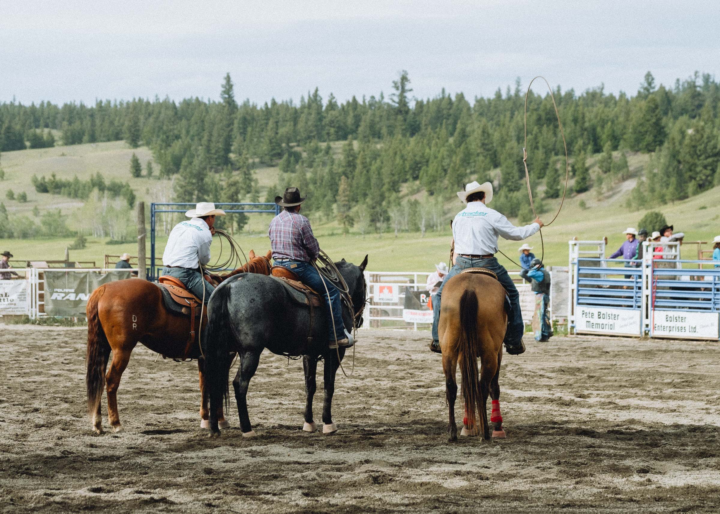
The scenery slowly transitions from arid sage scrubland to rolling grassy hills and forests as you approach Clinton. Known as the "Gateway to the Cariboo", Clinton is a cute town full of antique and vintage shops and a charming western feel. Stroll the quiet main street, visit the local museum built in 1892 from hand-made bricks, and stop in at the Junction Coffee House or the local's favourite Cordial restaurant. And if you're here in May be sure to swing by the rodeo too!
Continuing on, you'll pass the Chasm Ecological Preserve before climbing onto the vast interior plateau, a flat landscape of hundreds of lakes and thick forest. Keep an eye out for wildlife, including bighorn sheep and moose. At 70 Mile you'll find a little poutinerie called the Sugar Shack, and 100 Mile House has all the amenites a traveller might need. But before you hit town there are some side roads to discover...

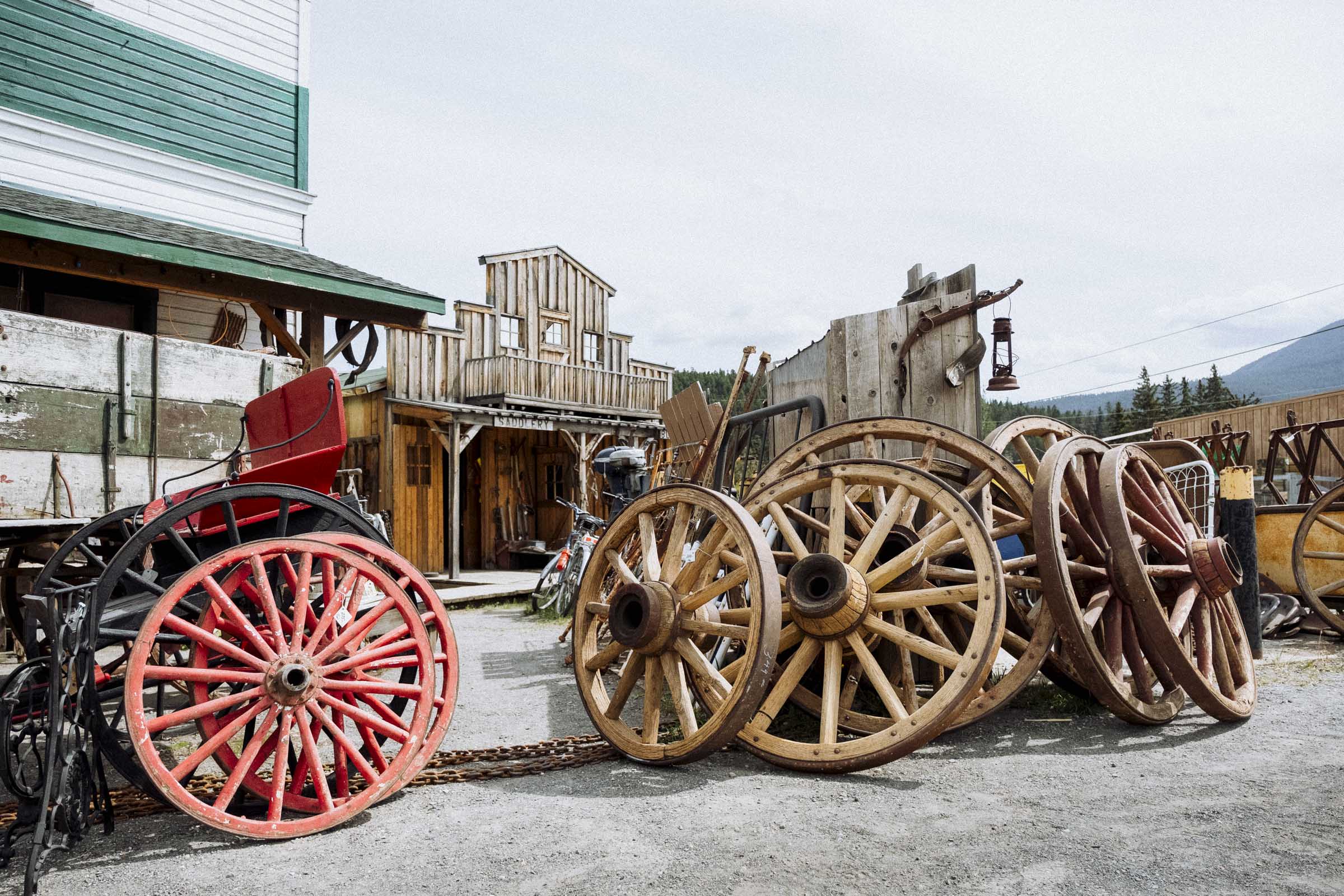
CLINTON EMPORIUM
If you're on the prowl for old saddles, wagon wheels, tractor seats, kerosene lanterns, hand tools, or deer antlers then the Clinton Emporium is for you! It's seemingly half shop, half disorganized museum, and we could spend hours wandering through its warren of aisles and piles of stuff.

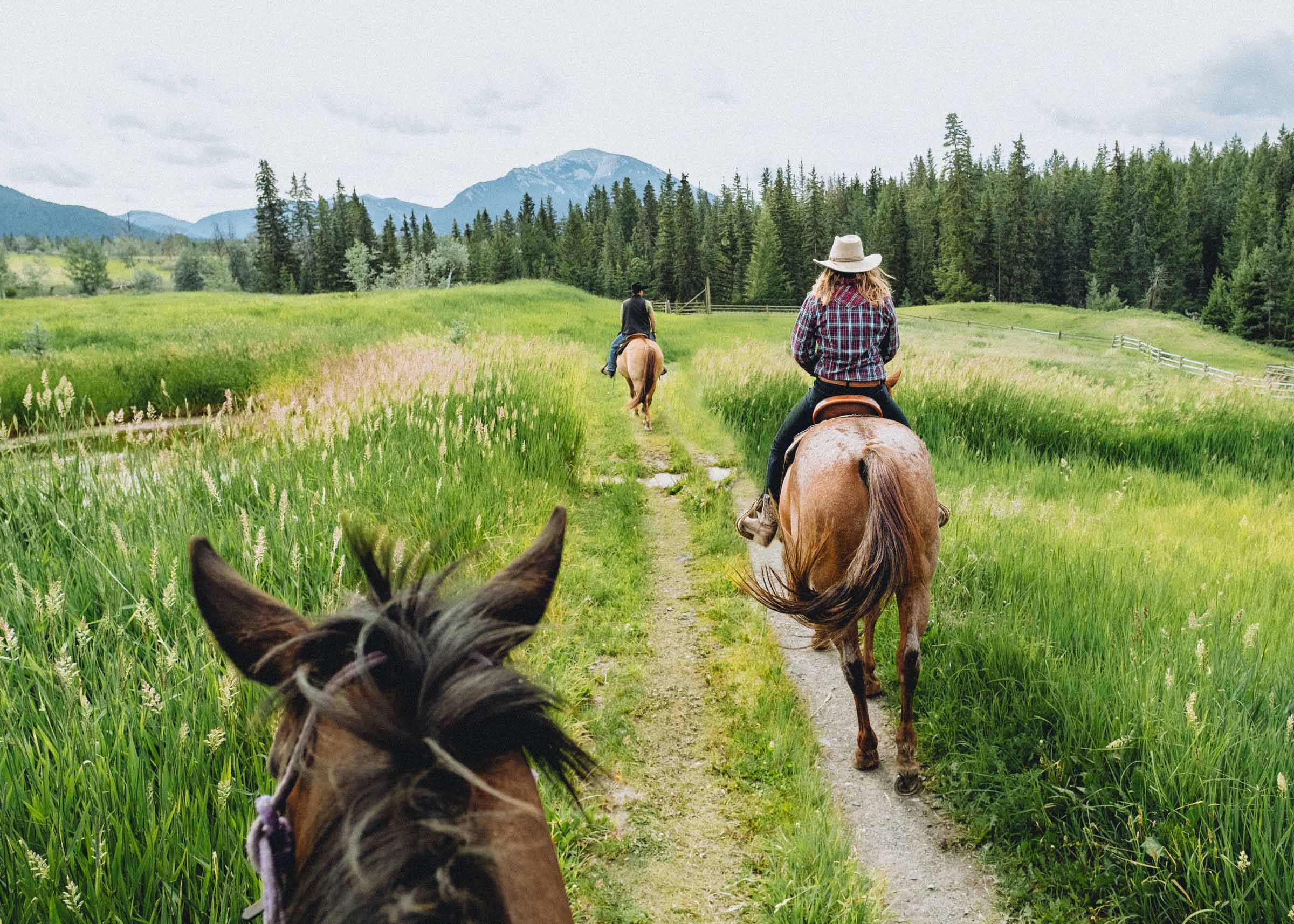
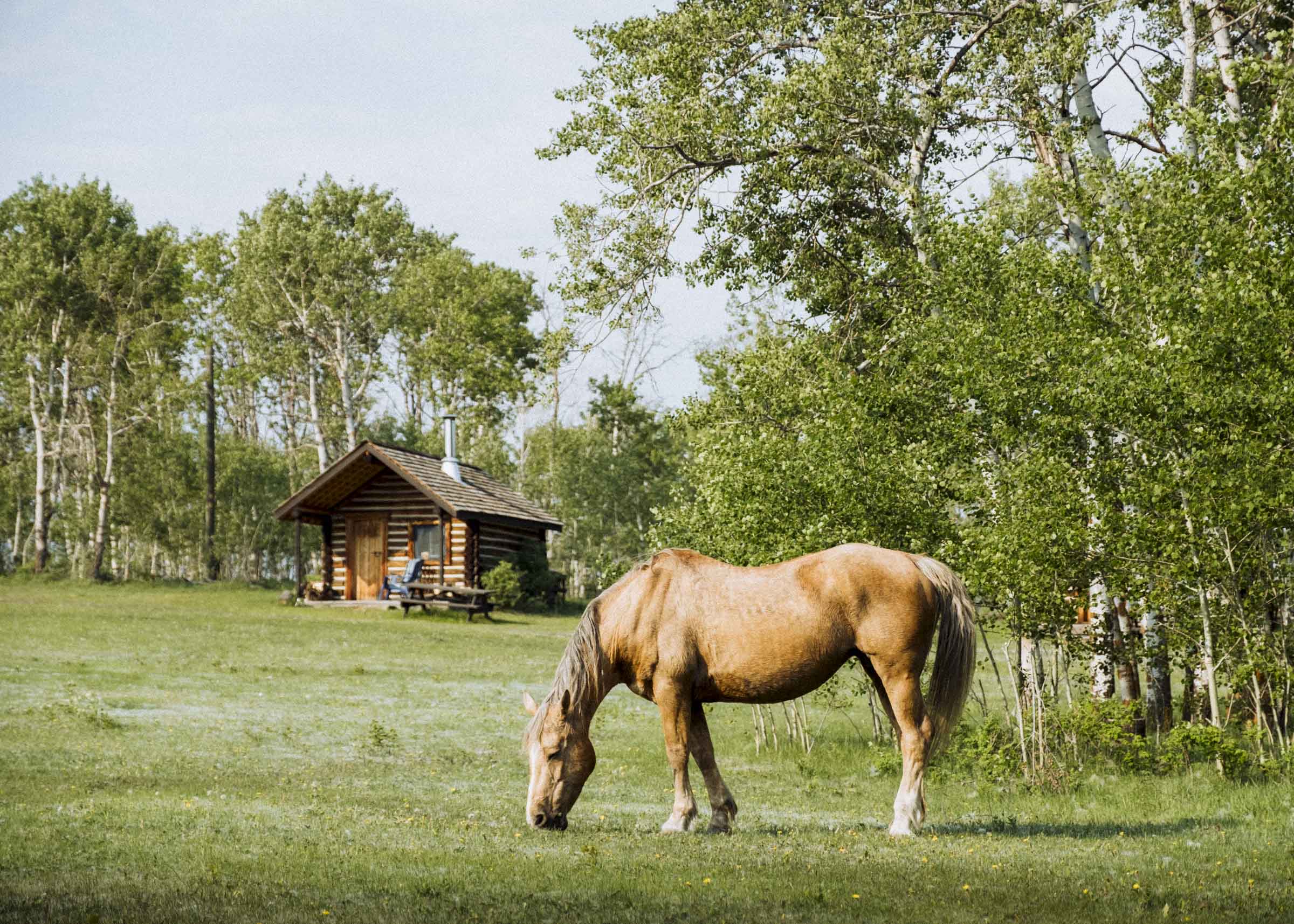
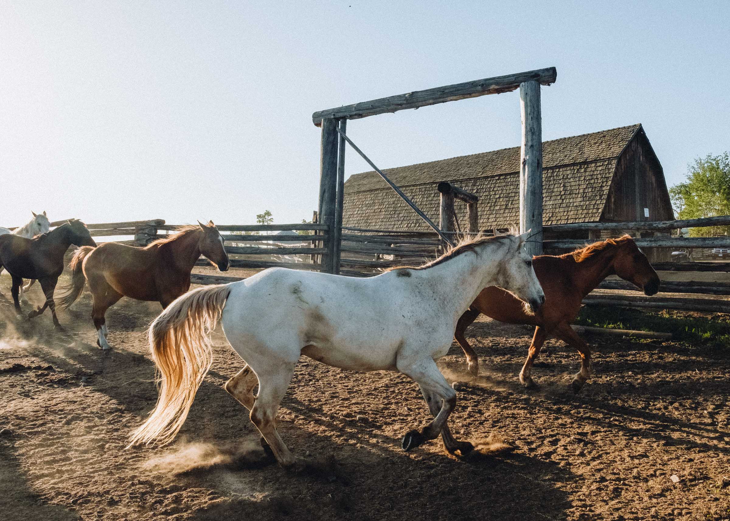
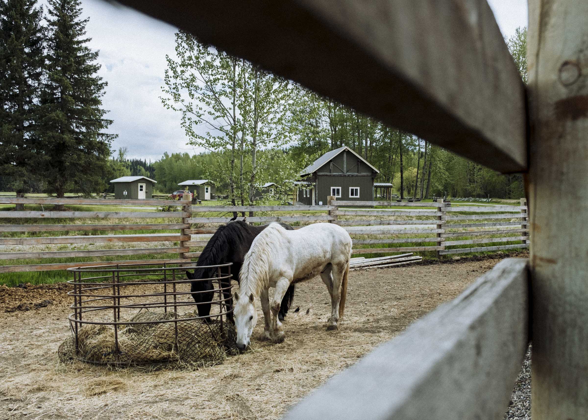
FLYING U RANCH
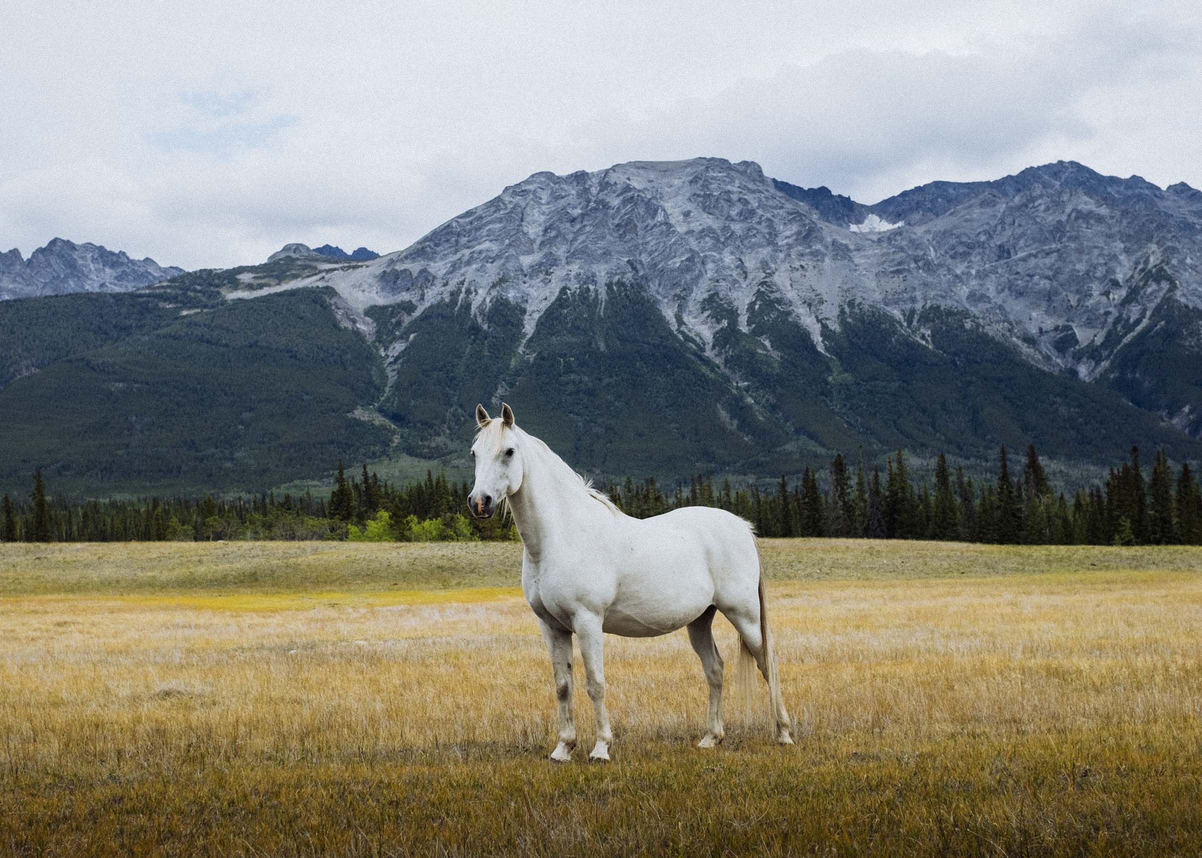
Located on the shores of the brilliantly-hued Green Lake half an hour from 100 Mile, Flying U Ranch is Canada's oldest guest ranch. With over 100 horses, there's a good chance you'll find some of them picturesquely grazing among the rustic log buildings when you first pull in.
With cozy cabins, an authentic western feel, and free-to-roam unguided riding on 60,000 acres of meadows and aspen forest, Flying U is an essential experience on your journey through the Cariboo. We liked it so much we made a blog post all about it.


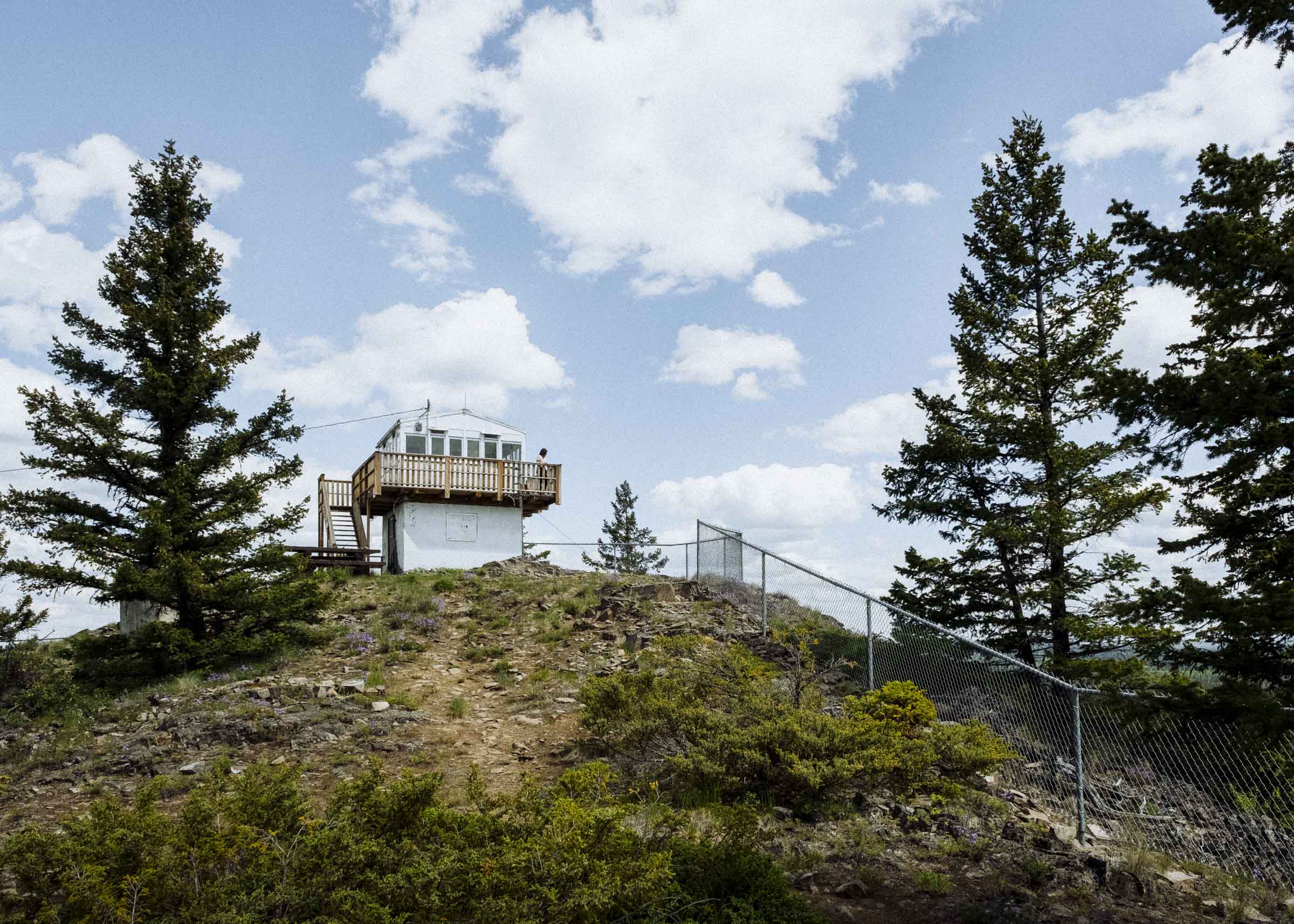
BEGBIE LOOKOUT
Mt Begbie has a commanding view of almost 9 million hectares of the Southern Cariboo, and has been used as a fire lookout since 1923. At one time Mt Begbie was staffed every summer from May to September, but lookouts like these have been replaced by aerial patrols and more sophisticated lightning strike technology and mostly converted into recreation sites. Although the original building was replaced in the 1970s, it's still a neat stop and a great chance to stretch your legs, get a nice view, and learn a little about the history of fire lookouts in the province.


Part 3
100 MILE HOUSE TO WILLIAMS LAKE
Once you reach the town of 100 Mile House, stop in at Chartreuse Moose for coffee and baked goods or grab some food at the Firehouse Diner. The nearby marsh and wildlife sanctuary is an excellent stop for the bird watchers out there!
This next stretch of the trip is dominated by forests and lakes, and (as always) a lot of optional side trips — including beautiful Canim Lake to the east and Churn Creek to the west.

CANIM LAKE
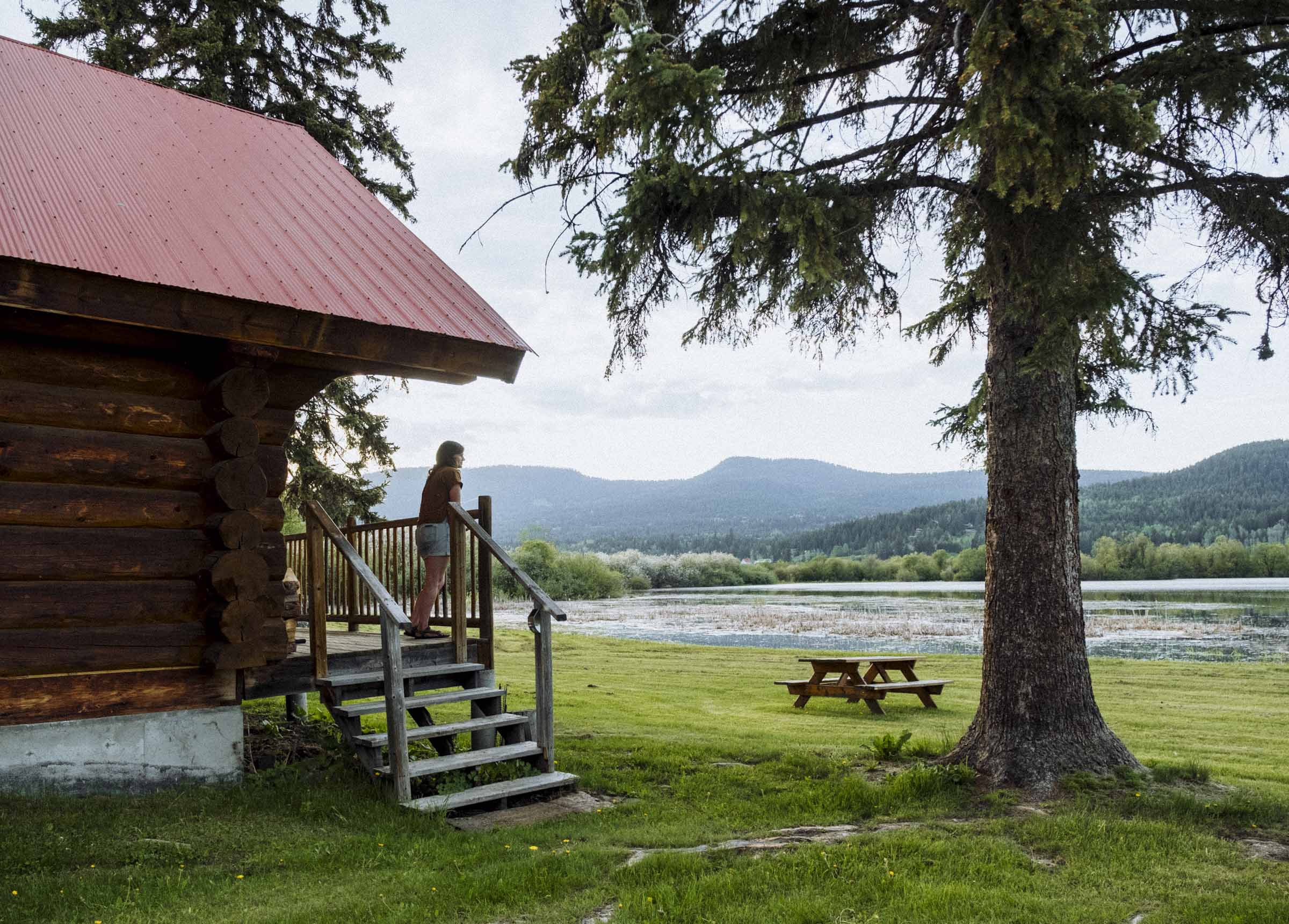
Canim Lake is a great destination in both summer and winter, with plenty of opportunities for fishing, hiking, canoeing, cross-country skiing, and horseback riding. We stayed at Canim Lake Resort at the head of the lake, only 40km (25 miles) from 100 Mile House. There are canoes & kayaks available to borrow, friendly proprietors, and each log cabin has a little kitchen.
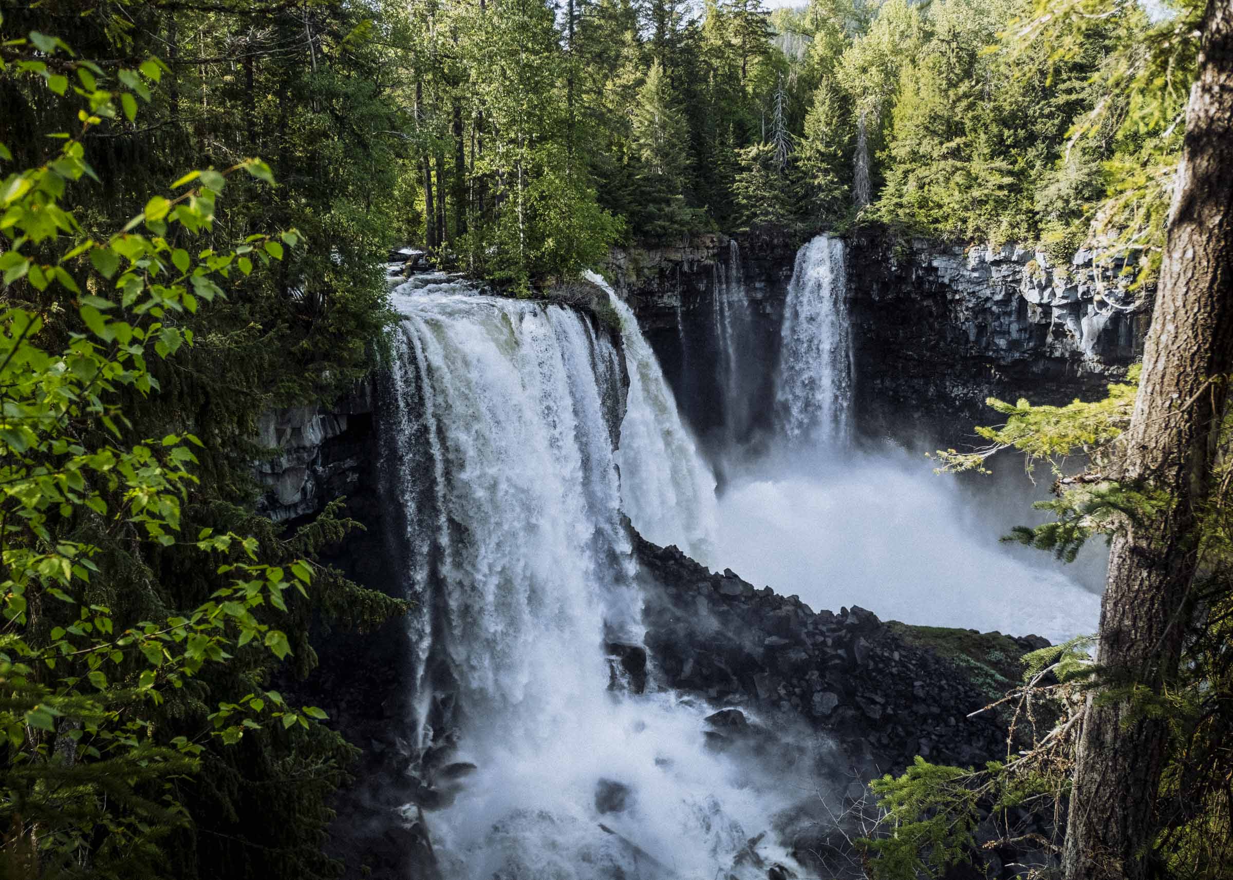
From there it's a beautiful drive to the east end of the lake, the sloping Cariboo Mountains looming ever larger in the distance. At the mouth of the lake wait the magnificent Canim Falls in Wells Gray Provincial Park, a spectacular triple cascade as Canim empties into Mahood Lake. The Cariboo Plateau was formed by volcanic floods, through which the roaring river has cut a deep and picturesque canyon. Only a short stroll from the car, be sure to take note of the basalt (and keep an eye out for wildlife).
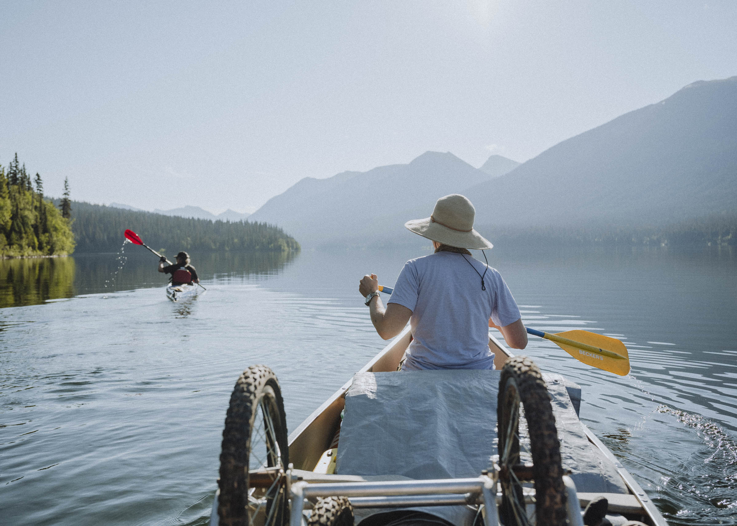
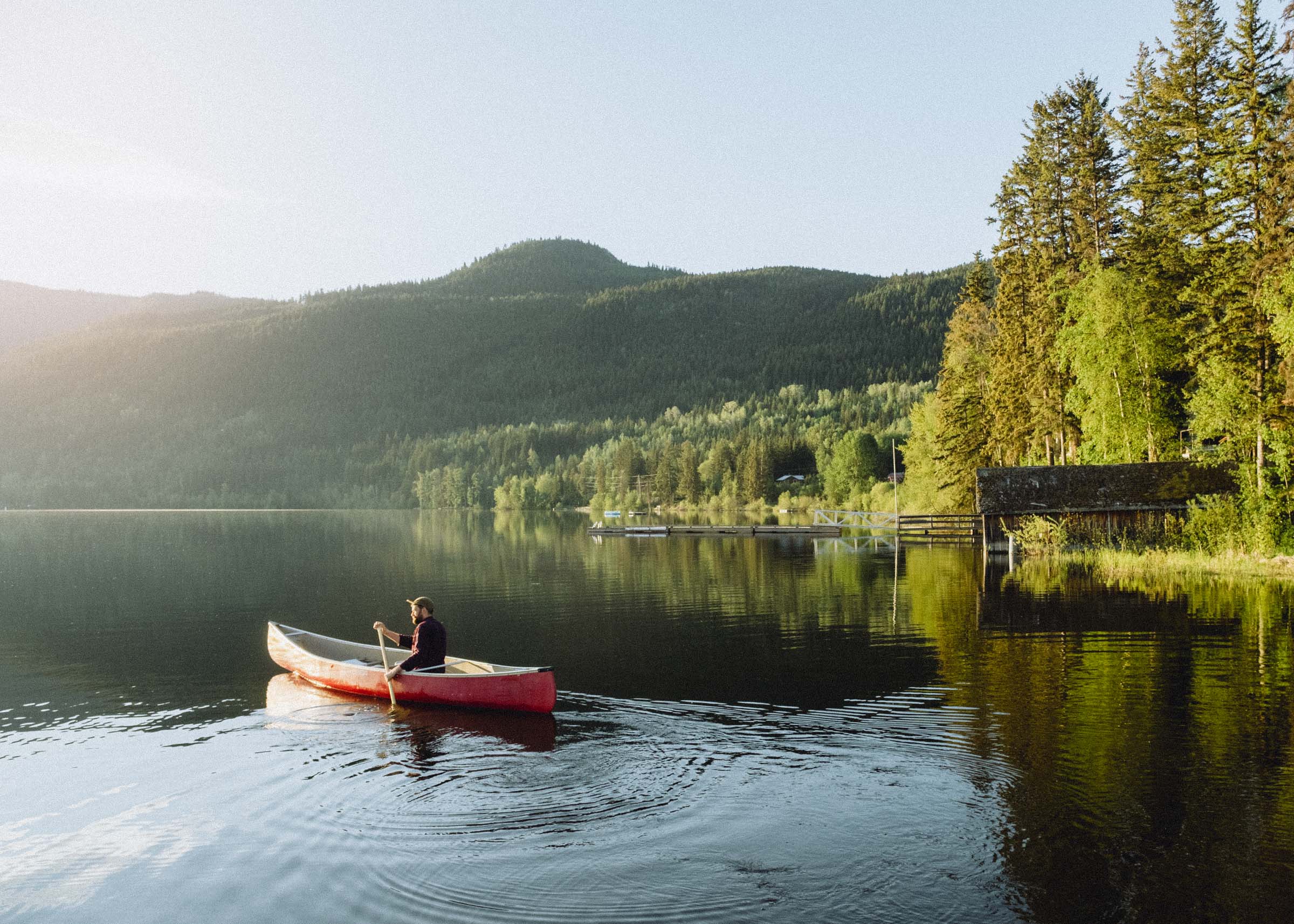
After viewing the falls we returned to our cabin, pulled out a canoe and spent the evening paddling the quiet lake. A pretty great way to end a great day.


108 MILE RANCH
Built in 1867, 108 Mile Ranch was one of the original hotels on the way to the Cariboo gold fields, and perhaps best known for the string of grisly murders that happened there...
In 1875 the ranch was taken over by Agnus and Jim MacVee and turned into a hotel. Legend has it that they craved gold in a big way, and were less than scrupulous about how they got it. They preyed on men travelling back from the gold fields alone, and it is believed that they killed more than 50 people, stealing their money and dumping their bodies into the nearby lake.
Tipped off by a runaway girl (long story), the Northwest Mounted Police showed up just as Agnus was loading her dead husband onto a cart (long story). Though Agnus escaped justice by suicide, it is believed that she buried her ill-gotten gains all over the property, and that over $1m in gold coins and nuggets are still waiting to be discovered.
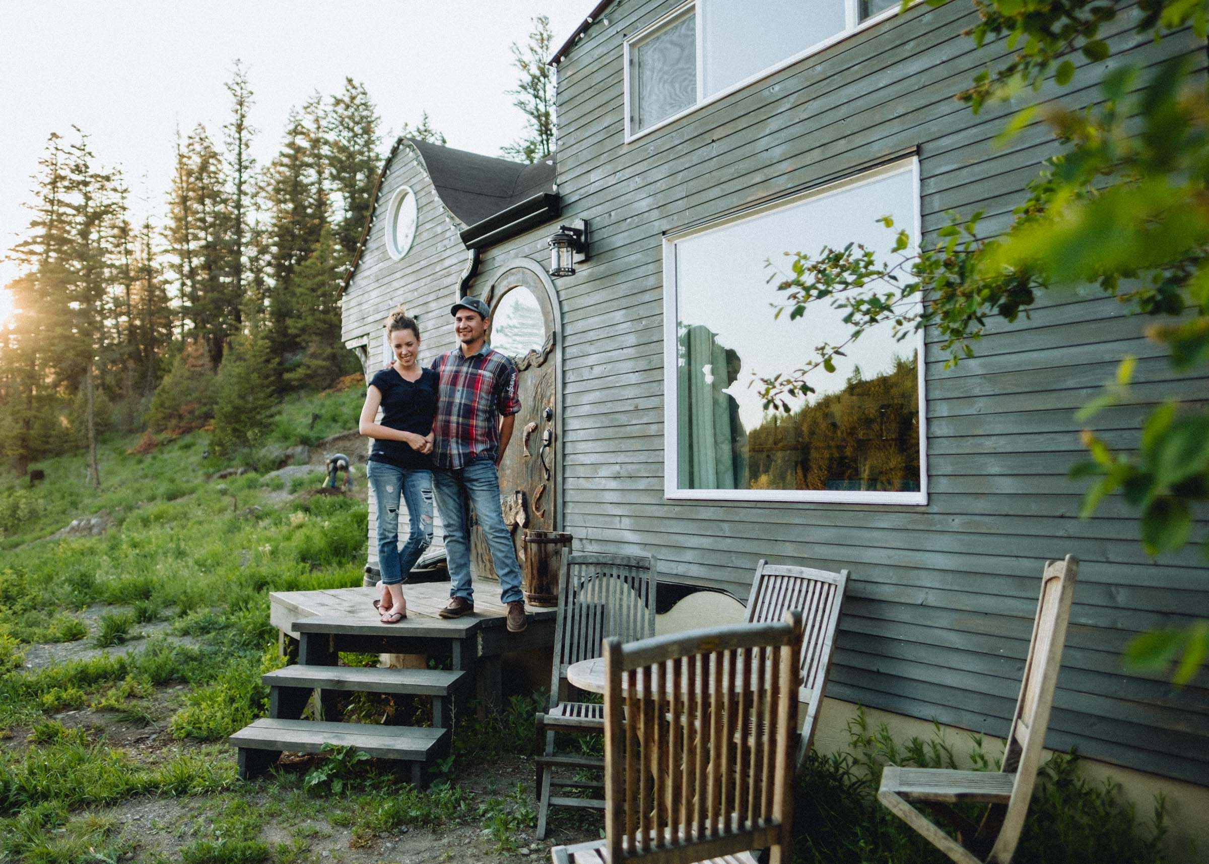
ESKET TINY HOUSE
Located just outside the village of Alkali Lake in the Esk’etemc First Nation, the Esket Tiny House is another great option to spend the night. En route to Churn Creek and the Fraser Canyon, Robert & Bettina Johnson have designed and built a little work of art. We've long been interested in the tiny house movement, so it was really neat to finally be able to see and stay in one!
The design focuses on craftsmanship and indigenous culture, with sqlelten (salmon) shaped roof rafters and a hand-carved front door. Robert and Bettina kindly dropped by and spent an evening chatting with us about the concept of the tiny house, why they moved back to the area, and the culture of the Esk’etemc people. As you can probably imagine, the history of the Gold Rush was quite a different experience for local First Nations when hordes of settlers began streaming through, taking the traditional lands to found towns and ranches. It was an enriching and eye-opening experience to hear firsthand how this has impacted generations of people, and how a renewed hope for reconciliation and self-determination burns bright.


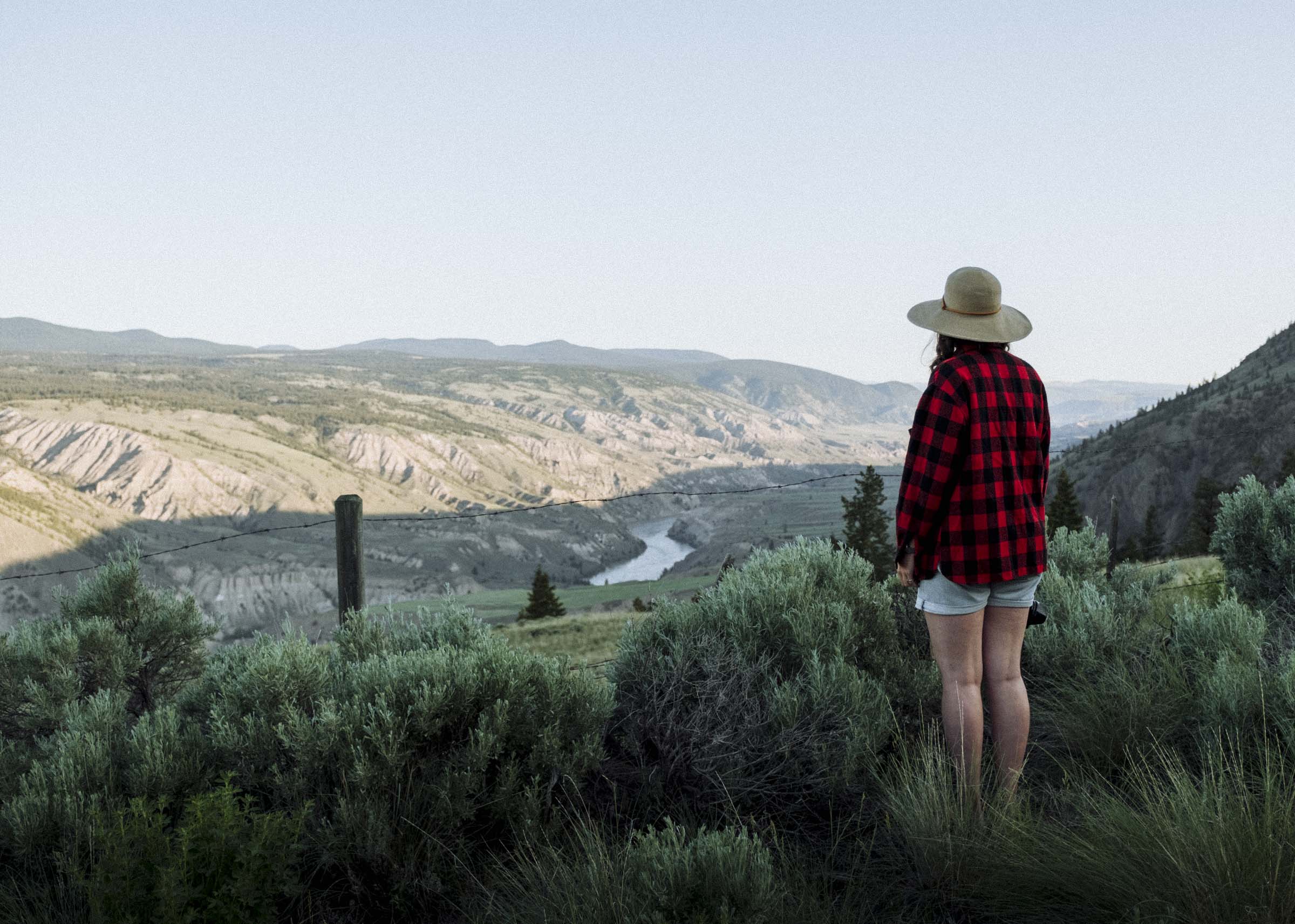
CHURN CREEK
Returning to the Fraser, the gravel road from Alkali Lake to the Churn Creek Protected Area is a stunning drive. You pass big fields and ranches, ascend a hill, then the mighty Fraser Canyon is there once again, spread out before you.
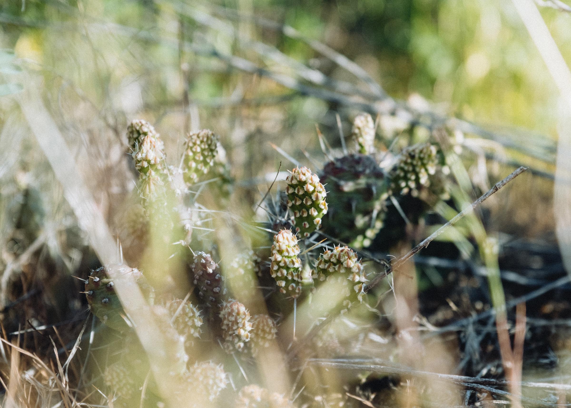
Churn Creek contains some of BC's rarest ecosystems, and as you descend into the canyon you pass through different grassland climates — from mixed open forest in the cooler upper reaches to bunchgrass on the middle steppes to dry sage brush and prickly pear cacti in the hot canyon bottom. Grasslands like these make up only 2% of BC's land area, but they support a third of its endangered species. Churn Creek is the most important protected grassland west of the Rockies.
This area has also been significant to local Ts’ilhqot’in (Chilcotin) and Secwepemc (Shuswap) people dating back almost 7000 years, and a giant boulder covered in petroglyphs was recently repatriated to Churn Creek from the Museum of Vancouver. You can find it near the river.


Part 4
WILLIAMS LAKE TO QUESNEL
Williams Lake is the hub of the central Cariboo, so you'll find plenty of restaurants and shops. Stop in for a delicious wholesome breakfast at a nice little spot called the Gecko Tree, hit up the 50's diner-inspired Dog'N'Suds, or head to the Museum of the Cariboo Chilcotin for some info about the area's rich ranching history (including the cowboy hall of fame).
Returning to the highway, the road once again veers towards the mighty Fraser — but by now the dry sculpted canyons of the middle Fraser have been replaced by thick forests, lush meadows, and rolling hills all the way to Quesnel. Known as Gold Pan City, Quesnel is prime ranching country — many of the contestants at the Clinton rodeo were from this area. Visit the museum and archives, stroll through the Antique Machinery Park, or come for “Billy Barker Days”, a four day festival in July that celebrates the Cariboo’s gold rush history.


XATSULL HERITAGE VILLAGE
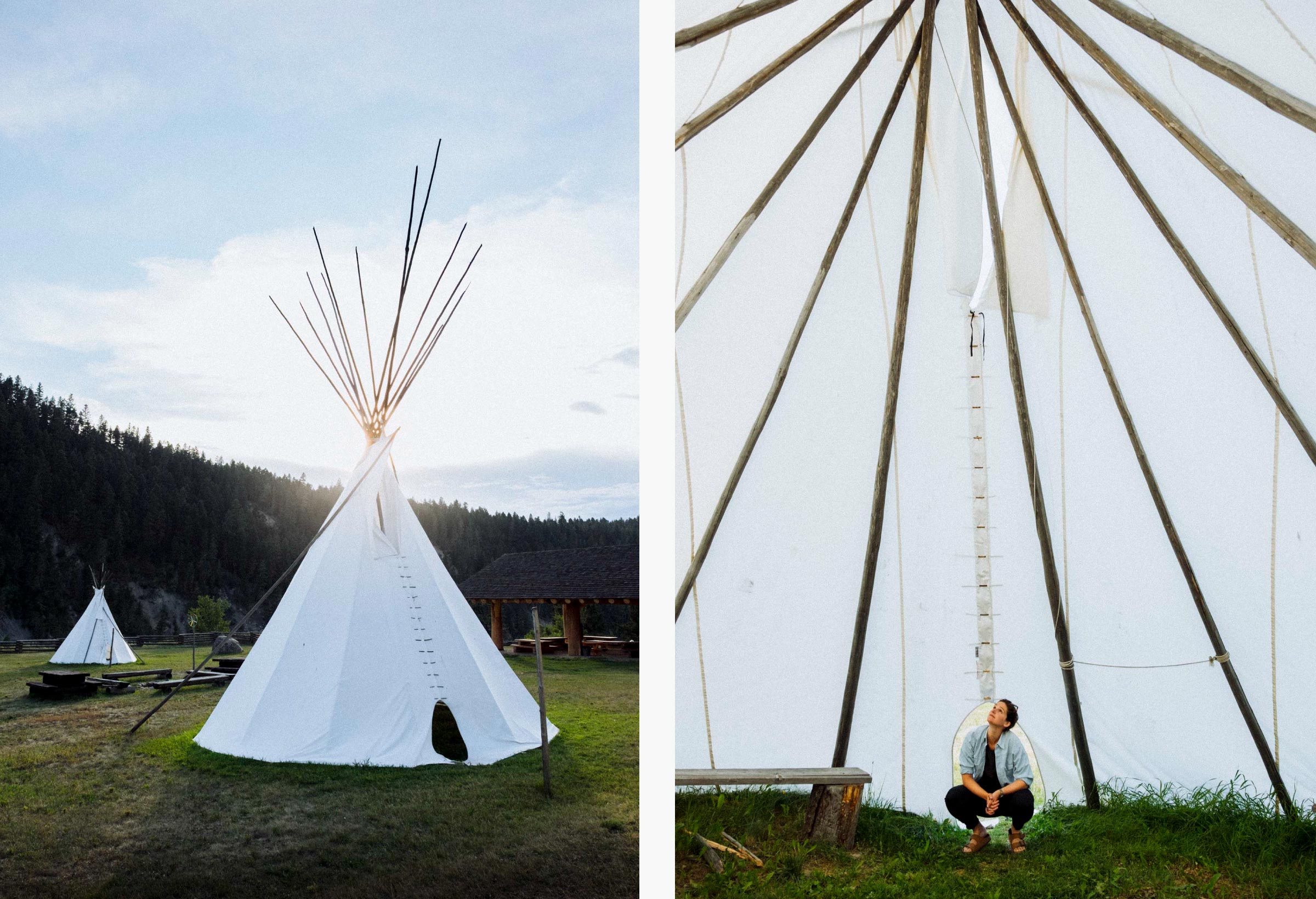
The first recommended stop along the way is the Xatśūll Heritage Village (pronounced Hat-sull). Located on the banks of the Fraser, they offer tours, workshops, and even accommodations in teepees or pit houses, you have a chance to visit with the Elders and learn about the spiritual, cultural, and traditional way of life of the Xatśūll people.

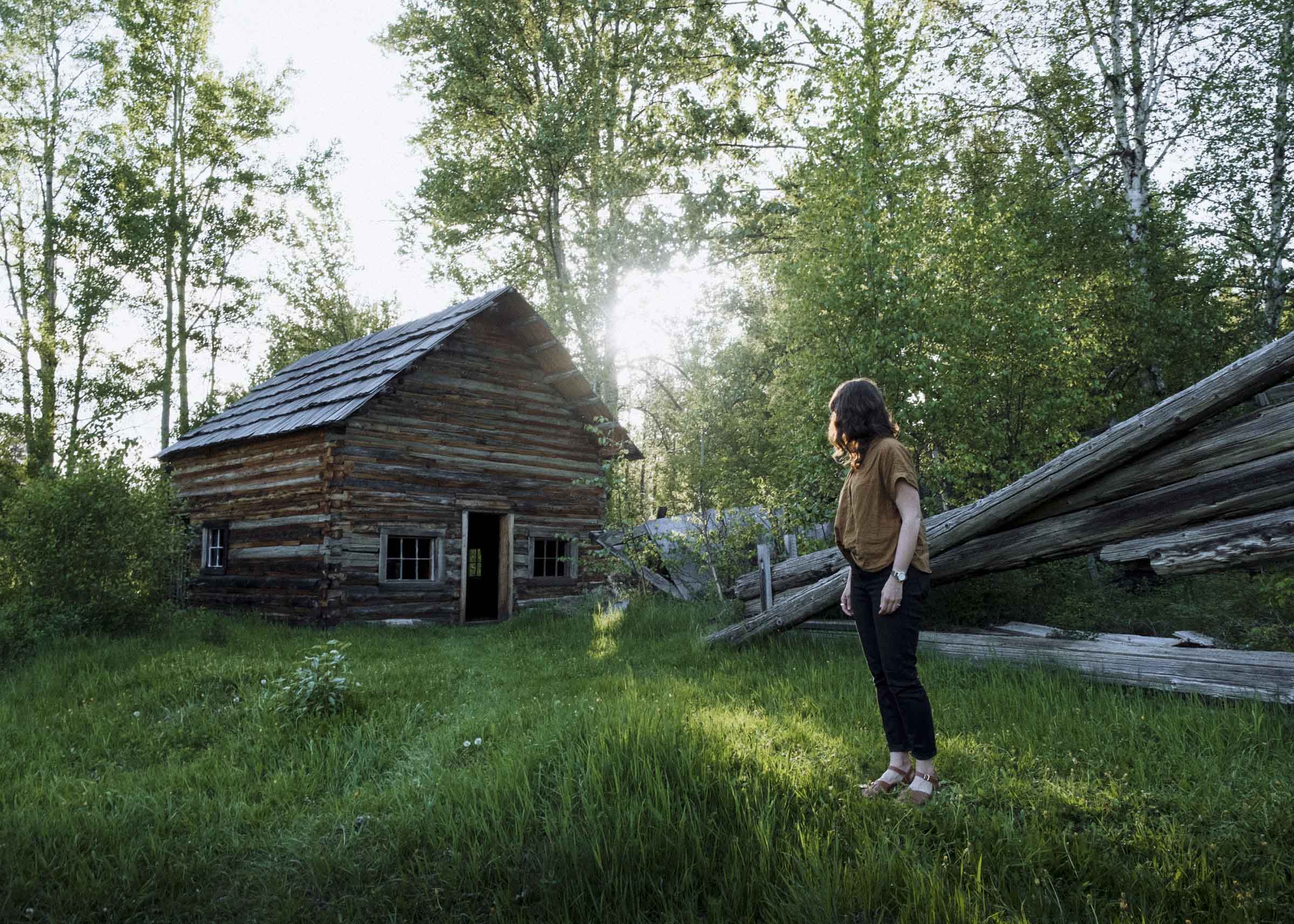
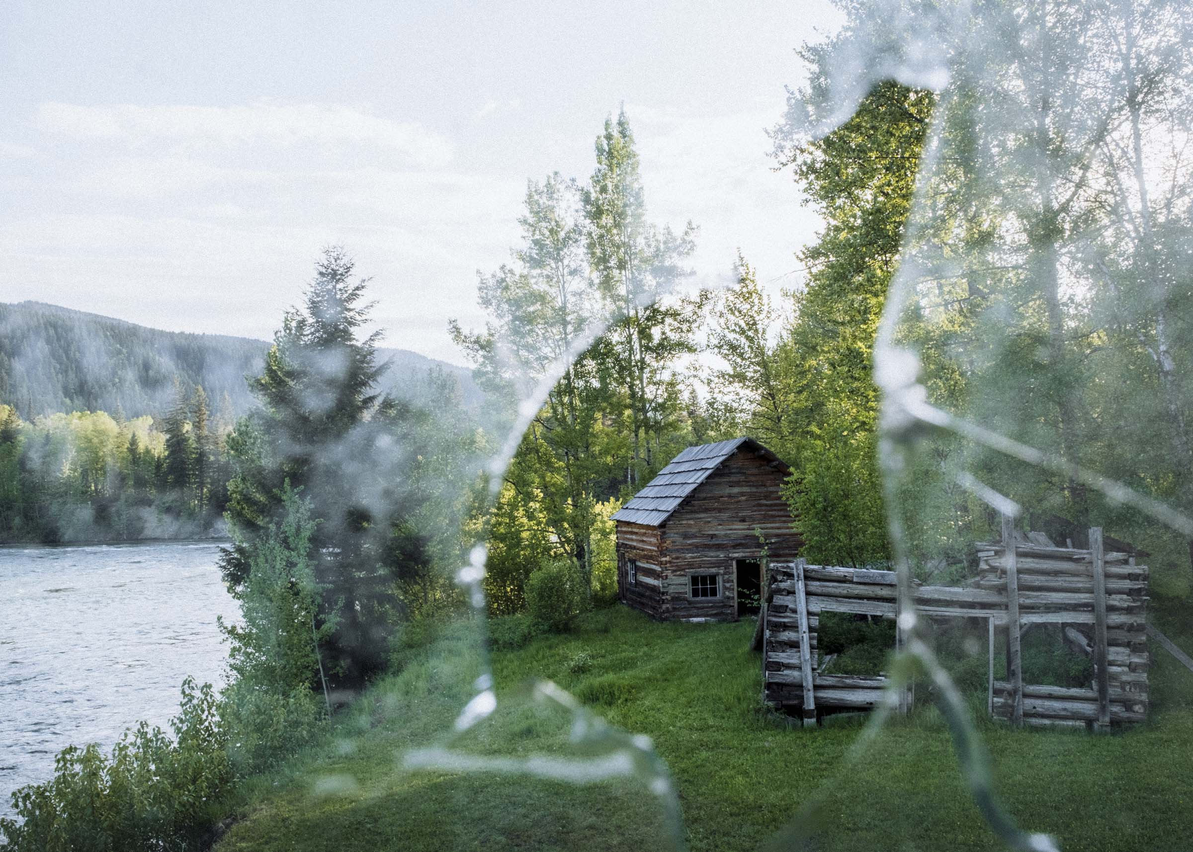
QUESNEL FORKS
An optional side route takes you east through the small communities of Horsefly & Likely to the crumbling ghost town of Quesnel Forks. The site has seen some recent restoration work, clearing the brush and fixing some of the roofs, but you'll still find plenty of half-hidden log cabins buried in bushes of the cottonwood flat. As you wander the site and see more and more buildings and it slowly becomes clear that this quiet place was once a busy and burgeoning town.
As gold miners streamed up the Fraser looking for the source of gold, the initial strikes were found in the nearby streams, lakes, and hills and Quesnel Forks grew seemingly overnight as a major supply point for the Cariboo Gold Rush. Between 1860 and 1862 it catered to more than 2000 transient miners. It wasn't to last however, first as richer gold fields were soon found further north in Barkerville then as the new Cariboo Wagon Road bypassed Quesnel Forks altogether. Only two years after its inception, Quesnel Forks began to fade and by the mid 1870s most people had left.
It wasn't quite the end for the little town though, as it continued to serve as a hub for Chinese miners either wintering here or working on the nearby Bullion Pit Mine well into the 20th Century, and the stately old Tong House remains among the best preserved structures to this day. Quesnel Forks wasn't completely abandoned until the 1950s.
COTTONWOOD HISTORIC HOUSE
One of the most famous hotels on the Cariboo Road was the Cottonwood House. Built in the 1860s to offer accommodations, meals, and provisions to miners and travellers on their journey to the gold fields it maintained a reputation of exceeding quality and comfort, and remains one of the best-preserved Gold Rush-era historic sites to this day. With plenty of old buildings to explore, a working farm complete with horses and goats and chickens, and modern accommodations or camping sites it's a great stop on the road to Barkerville.

Part 5
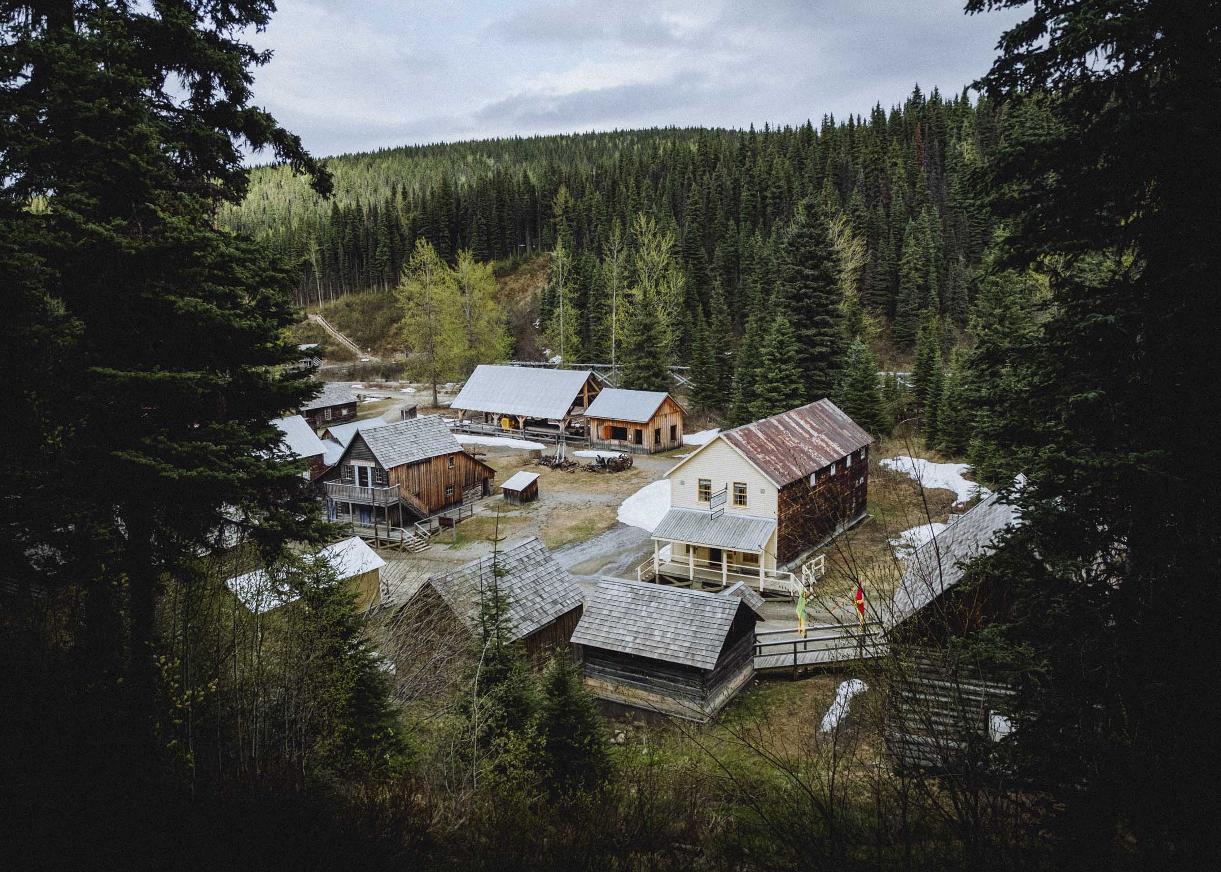
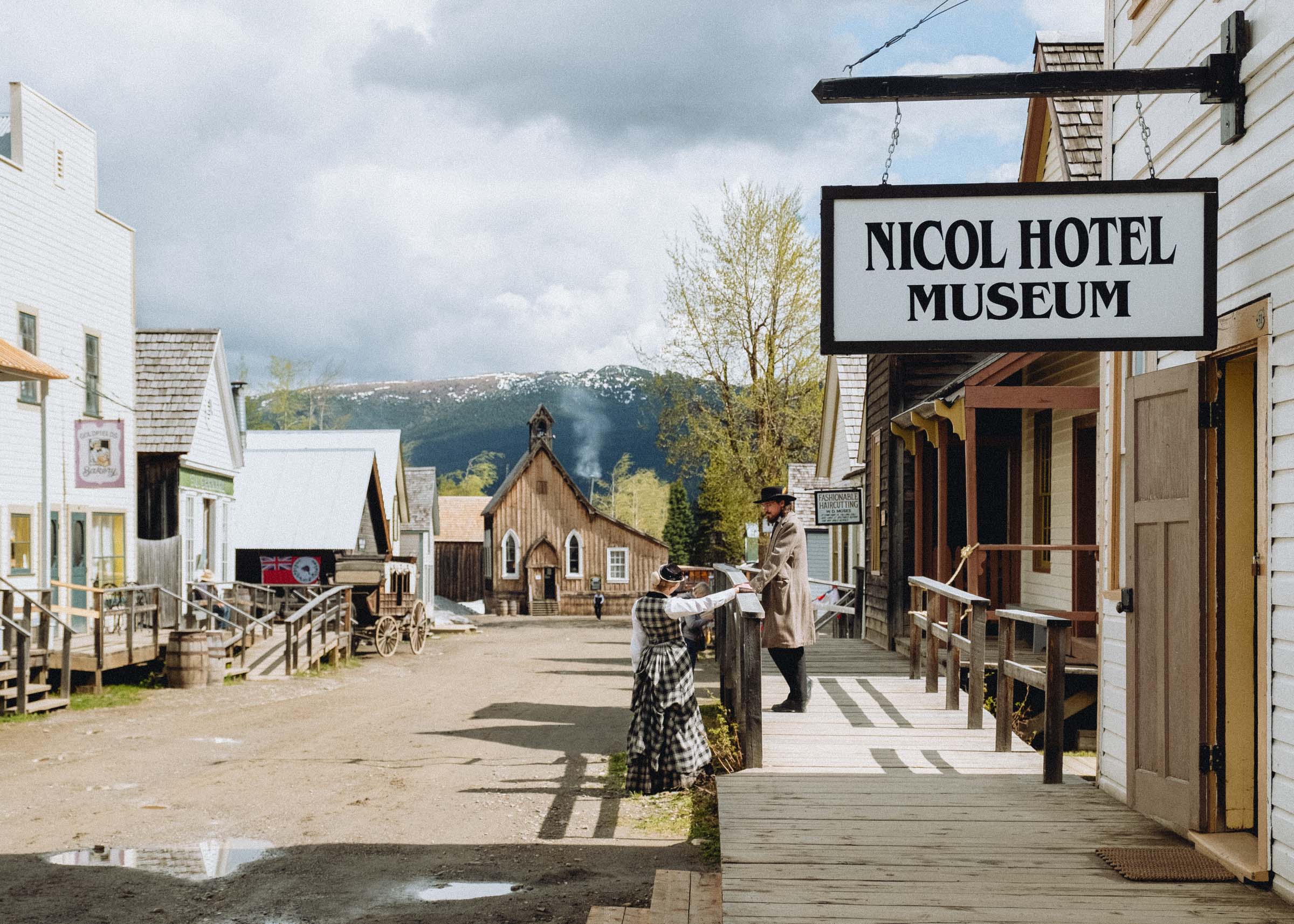
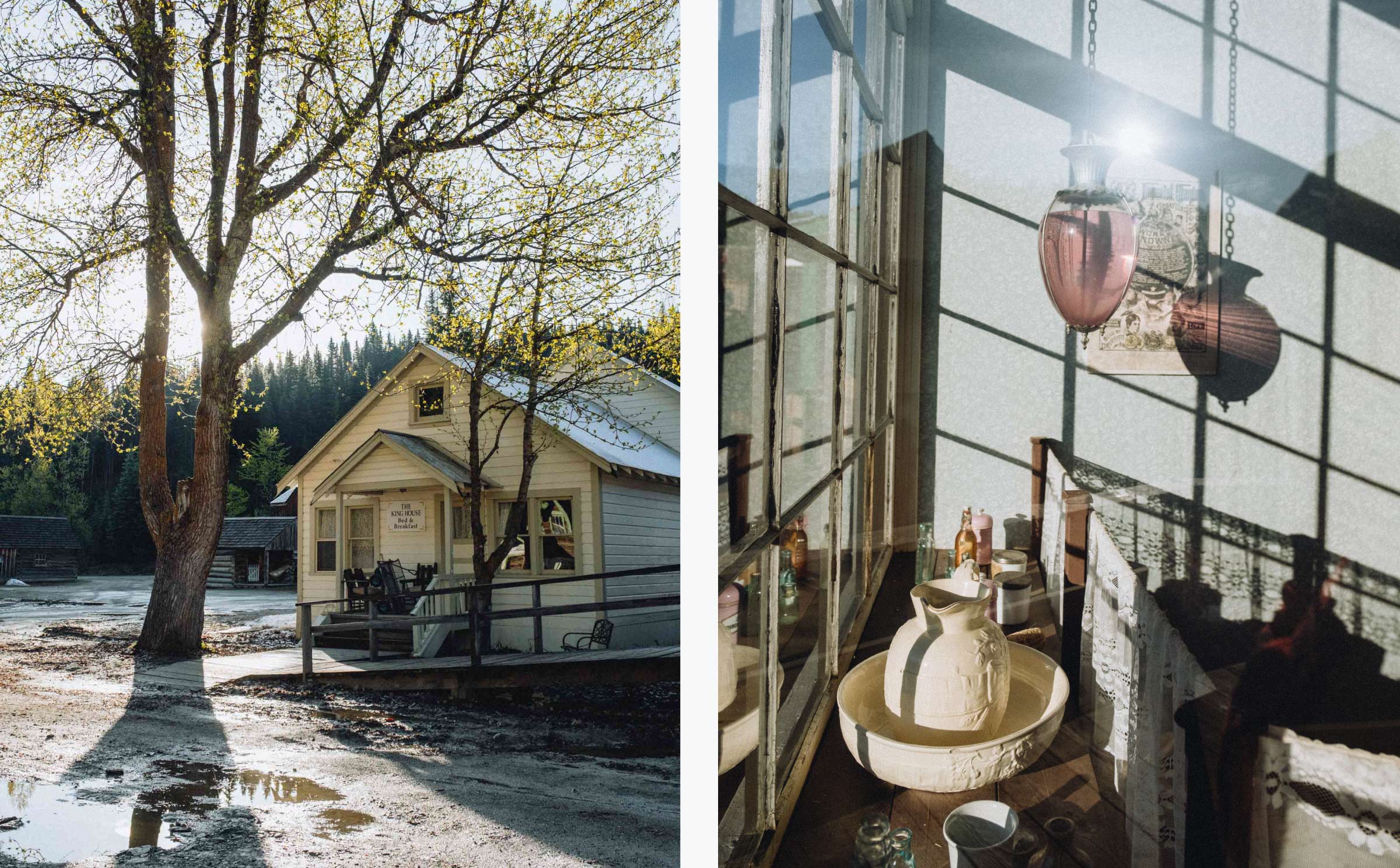
BARKERVILLE !
At the end of the Cariboo Wagon Road waits Barkerville. The largest historic site in BC, Barkerville is home to more than 100 beautifully-maintained heritage buildings and easily a week's worth of programming and attractions. Staffed by actors steeped in fine-grained local and historical info, simply strolling the streets is enough to be immersed in BC's colourful history. You can participate in scheduled tours and educational programs, or just wander aimlessly and let snippets of the historical drama unfold before you. Take a stagecoach ride, enjoy a theatre production, enjoy a high tea, or just pop in to the hotels, storefronts, and displays to see how miners lived 150 years ago.
Barkerville remained a vibrant town up until the Second World War, and was declared a historic site in the late 1950s. Its continued preservation stands as a stunning testament to the history of BC, and a worthy endpoint of a great roadtrip. The Cariboo Road was one of the seminal achievements of BC's history — it singlehandedly opened up the interior, remaining the area's sole economic link until the railway was built and a vital link even today. And while the gold may be long gone, the journey remains a rich and rewarding experience to all who take the trip.


Big thanks to Cariboo Chilcotin Coast for helping make this trip possible