The Klondike
Roadtrip through the wilds of BC, Alaska, and the Yukon
The discovery of gold in the Klondike changed North America forever. The news spread around the world like wildfire and over 100,00 people began the journey north, establishing roads and infrastructure in the once illimitable wilderness, and even spurring the very creation of the Yukon itself. The gold rush only lasted a couple short years, but the epic saga shaped our very idea of the North, and inspired a body of literature that continues to spark a romantic fascination to this day.
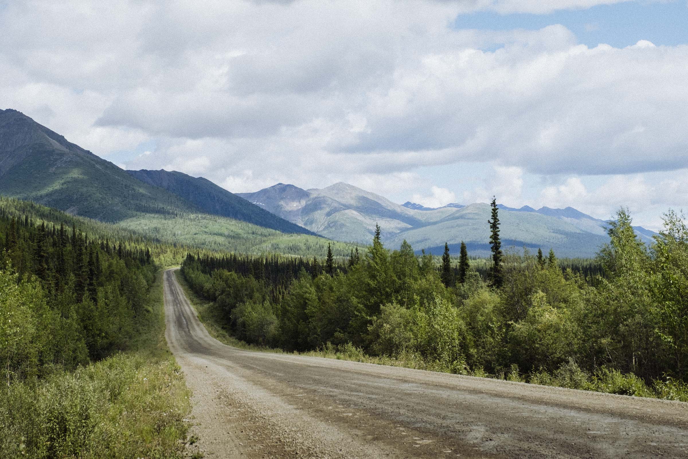
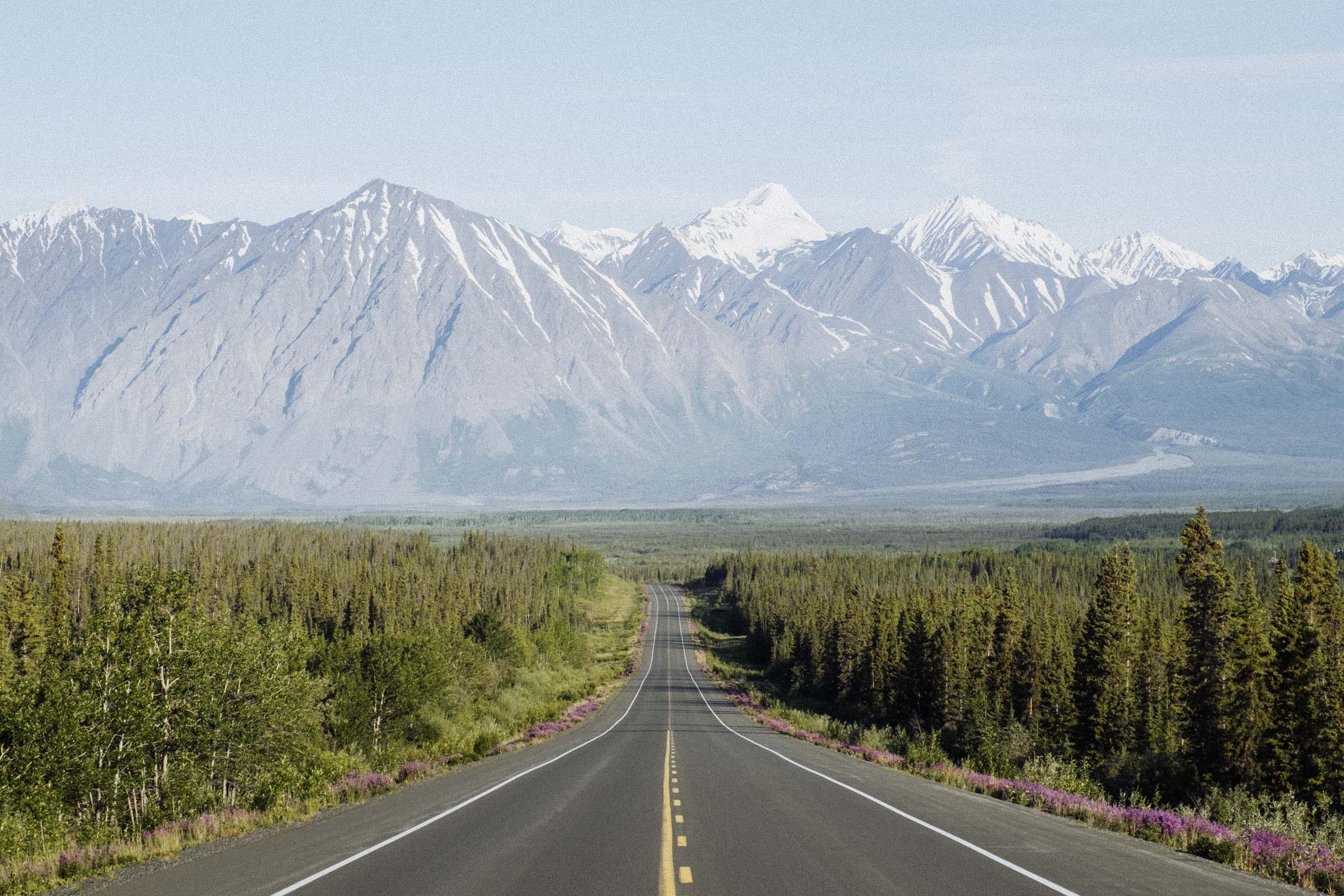
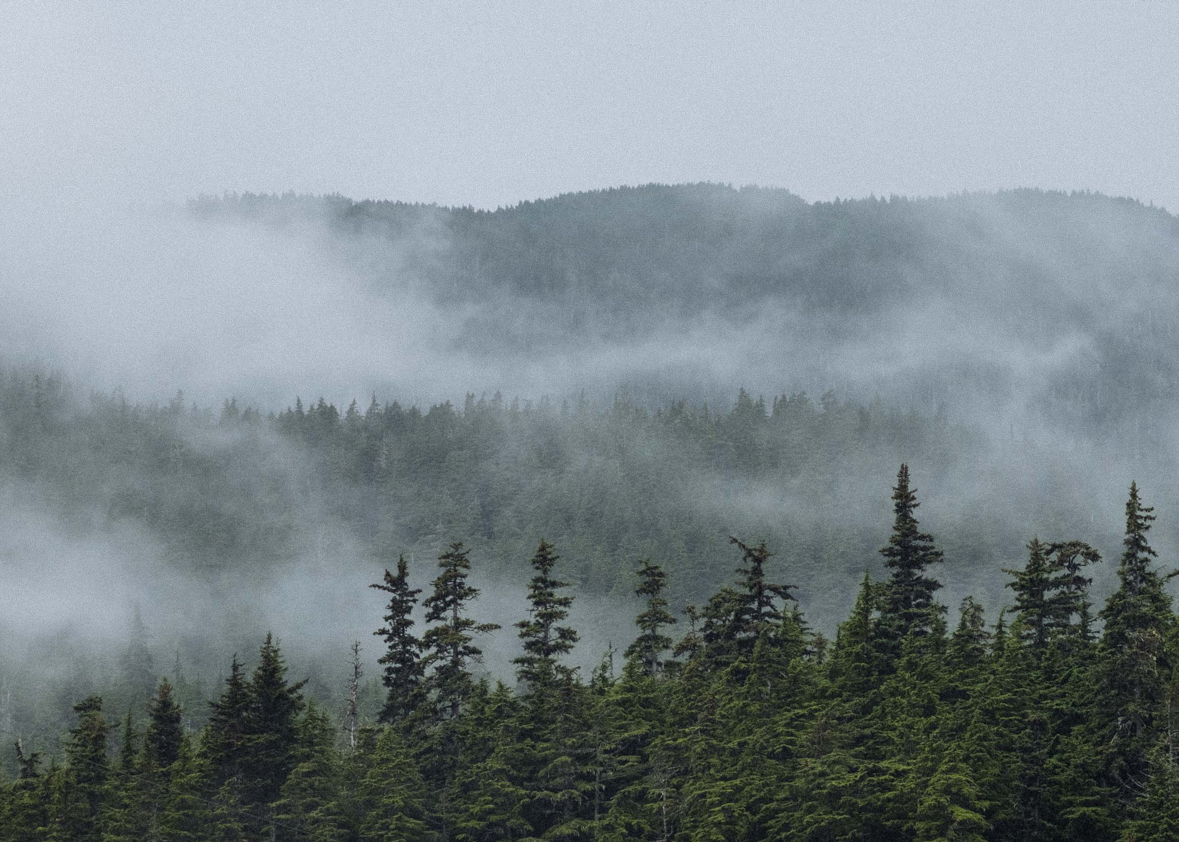
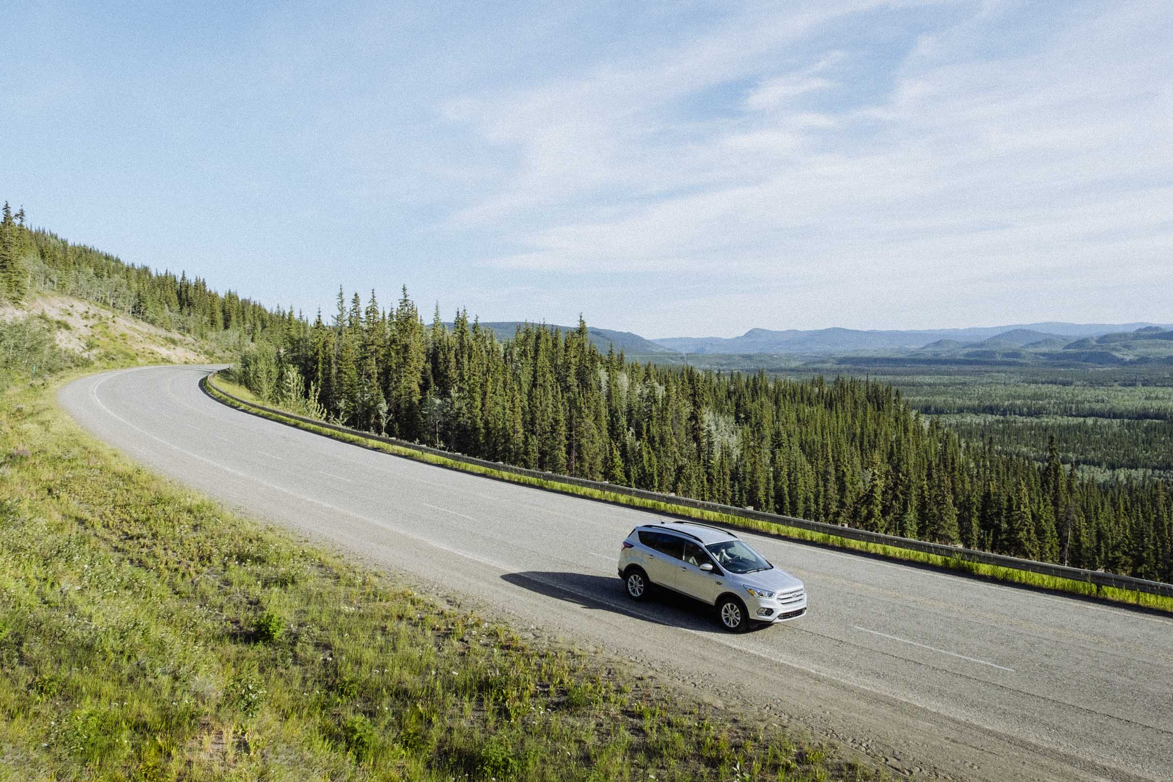
It was a long and arduous journey for the first prospectors, travelling up from the coastal ports of Alaska through the rugged mountains of BC and deep into the wilds of the untamed Yukon. Today the official Klondike Highway links the little Alaskan town of Skagway to the distant Dawson City, roughly following the most famous route used by prospectors. And even though it’s a far easier trip today, it's still an incredible journey — travelling through 709 km (440 miles) of almost unimaginably vast wilderness, through treeless barrens and boreal forests as far as the eye can see, past picturesque lakes, and punctuated only occasionally by little far-flung towns.
The route is a long way from anywhere, so if you have the time we highly recommend adding a few extensions to make the most of your journey. We started our trip in Kluane, heading down to Haines and on to Skagway, adding side trips first to Atlin and then into the Tombstone section of the famed Dempster Hwy. If we had more time we'd have loved to explore these places more fully.
Haines Junction → Haines
To start in Skagway you first need to get to Skagway, and if you don't want to drive the same road twice we recommend arriving by ferry. Alaska has a comprehensive ferry system, so you can set out from as far away as Bellingham, WA or as close as nearby Haines. We spent a couple days camping and hiking in Kluane National Park, so making the short drive down to Haines was a sensible solution. Tho we'd love to take the longer ferry ride one day!
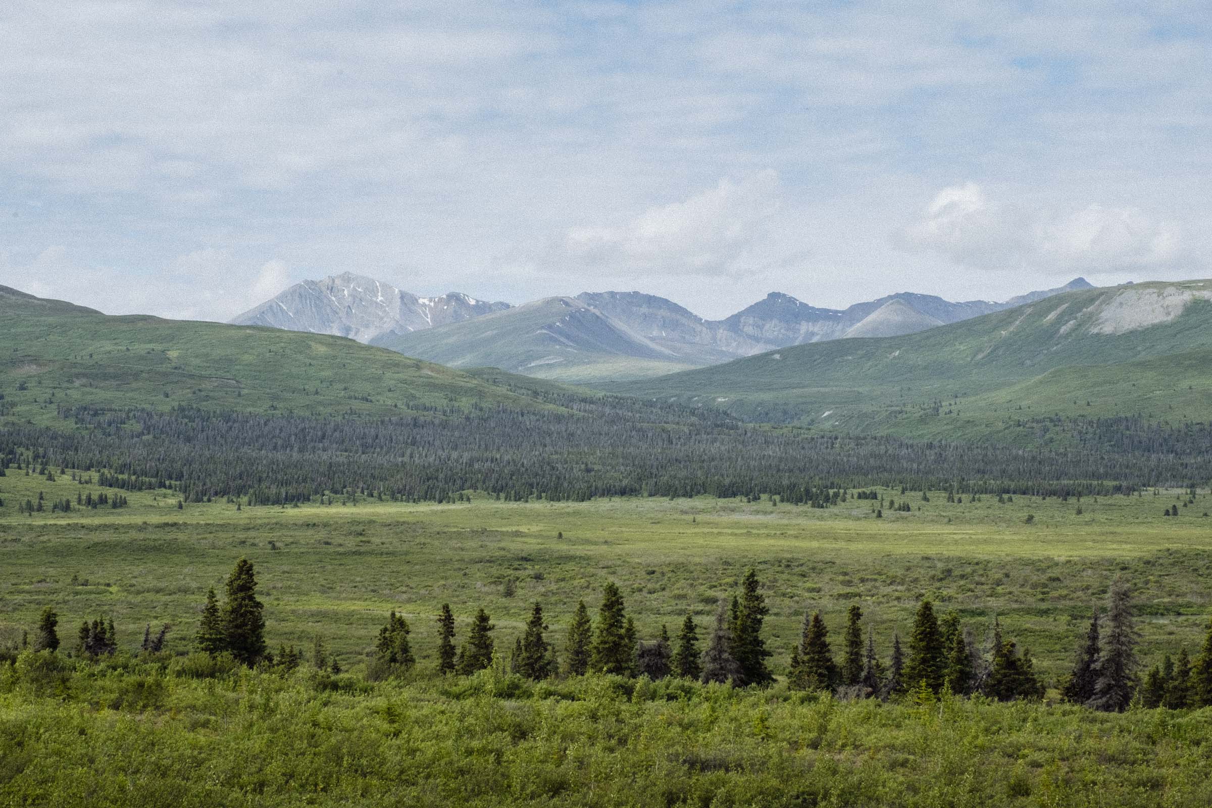
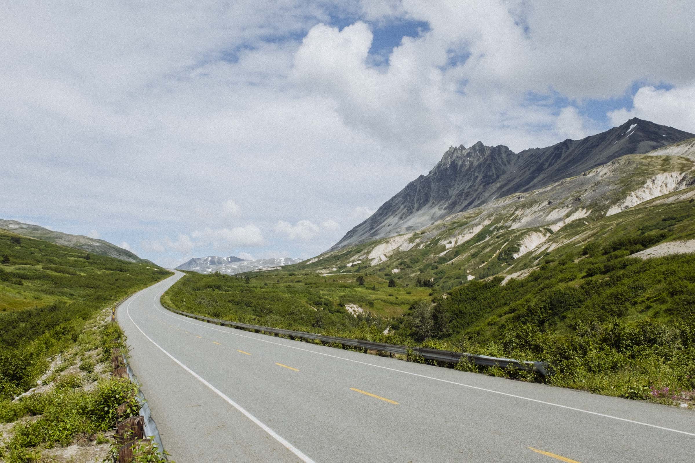
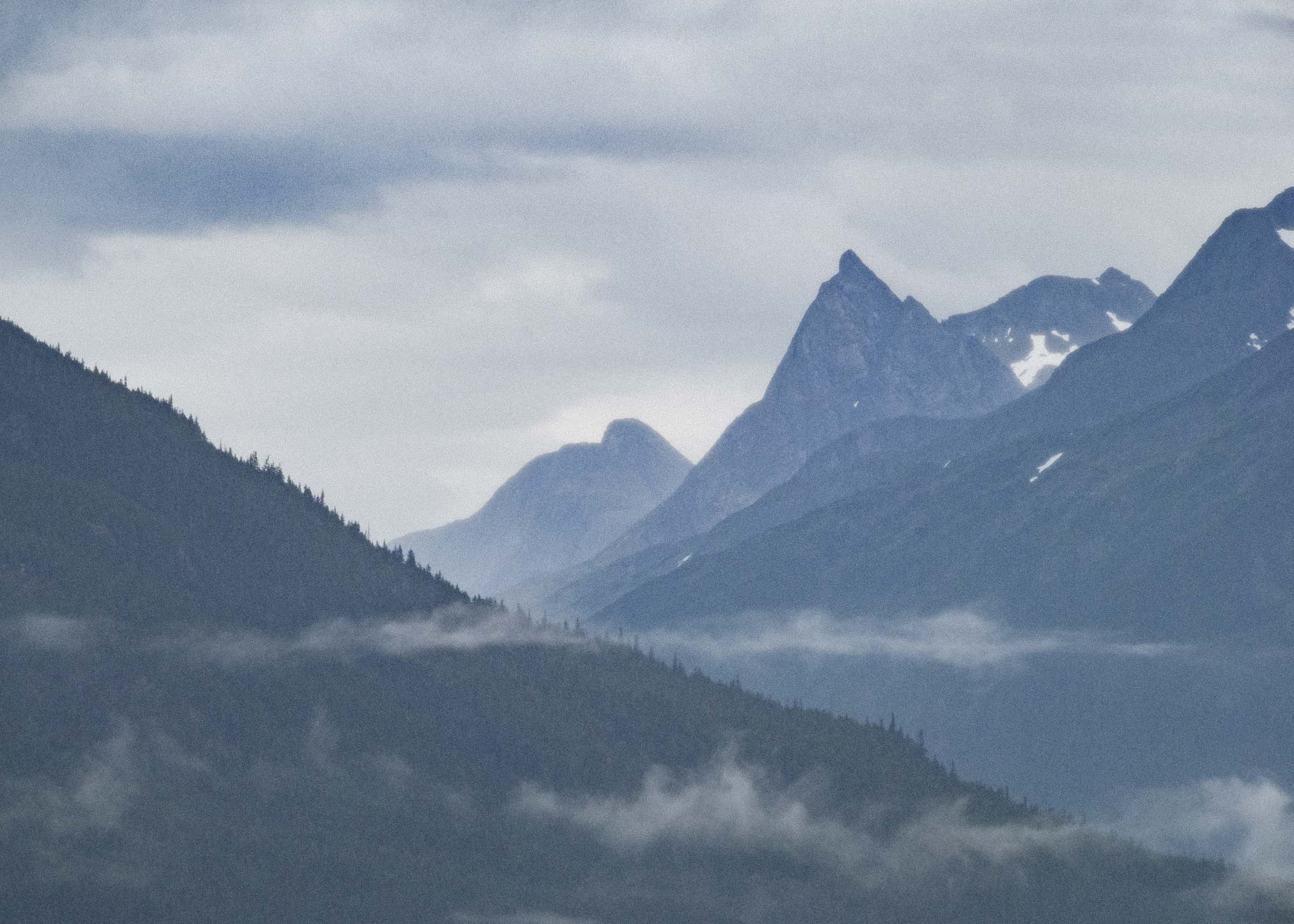
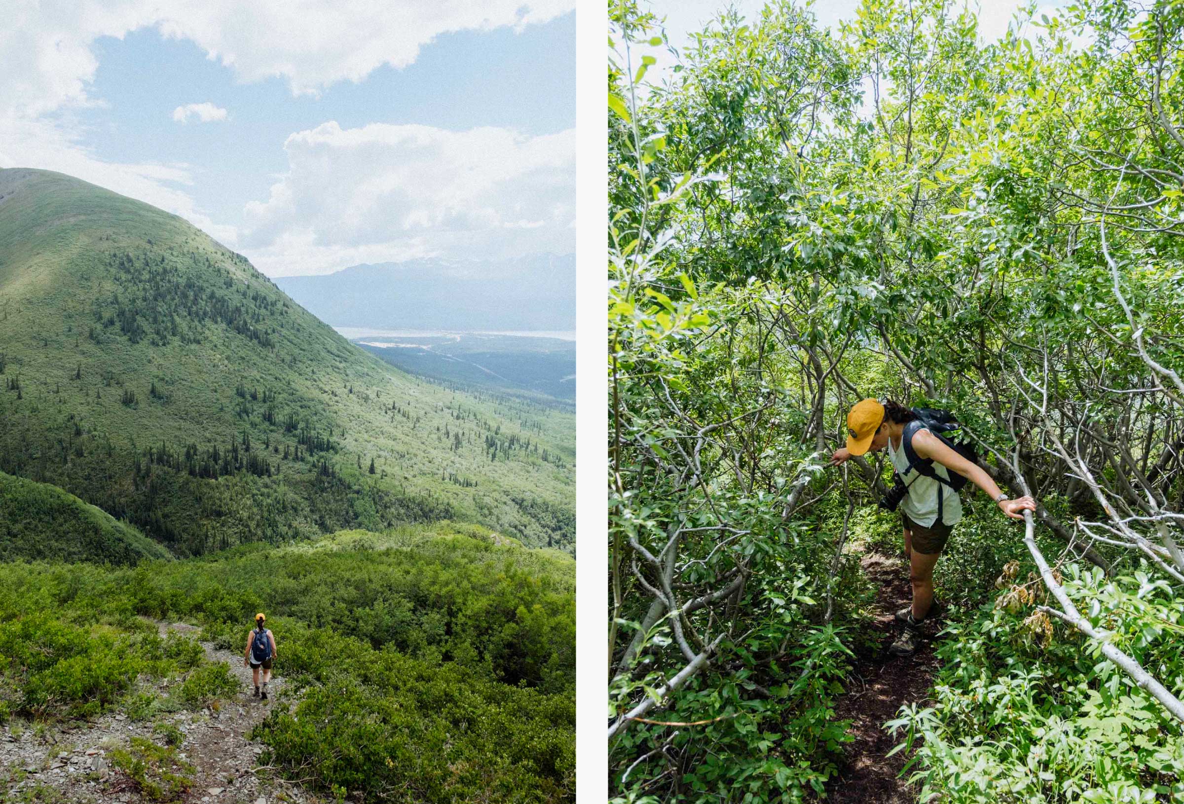
We began our trip in Haines Junction, a charming little town in the Yukon with magnificent mountain views and a cozy community bakery. There's a ton to see and do in this area, but even so the drive down to Haines felt particularly special. The first section of highway hugs the eastern edge of Kluane, huge snow-capped massifs on one side and picturesque lakes and forests on the other, before plunging into the Coast Mountains and crossing the border into BC. The valley seems to widen a bit again as you climb into the Tatshenshini-Alsek, a sprawling wilderness of glaciers and rugged ice-cold rivers made famous by daring whitewater expeditions. Fewer and fewer trees grow as you ascend towards Chilkat Pass, and winters here can be long and brutal. Originally a trading route used by the Tlingit First Nations, the route served as one of the first trails to the Klondike gold fields before the railway over White Pass was built, and even tho it was eventually carved into an international highway, it remained a notoriously dangerous route due to weather and mud slides and year-round access wasn't possible until 1963.
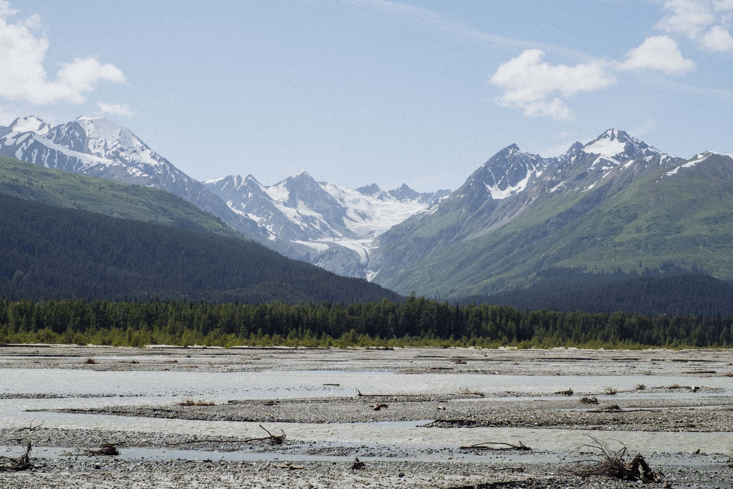
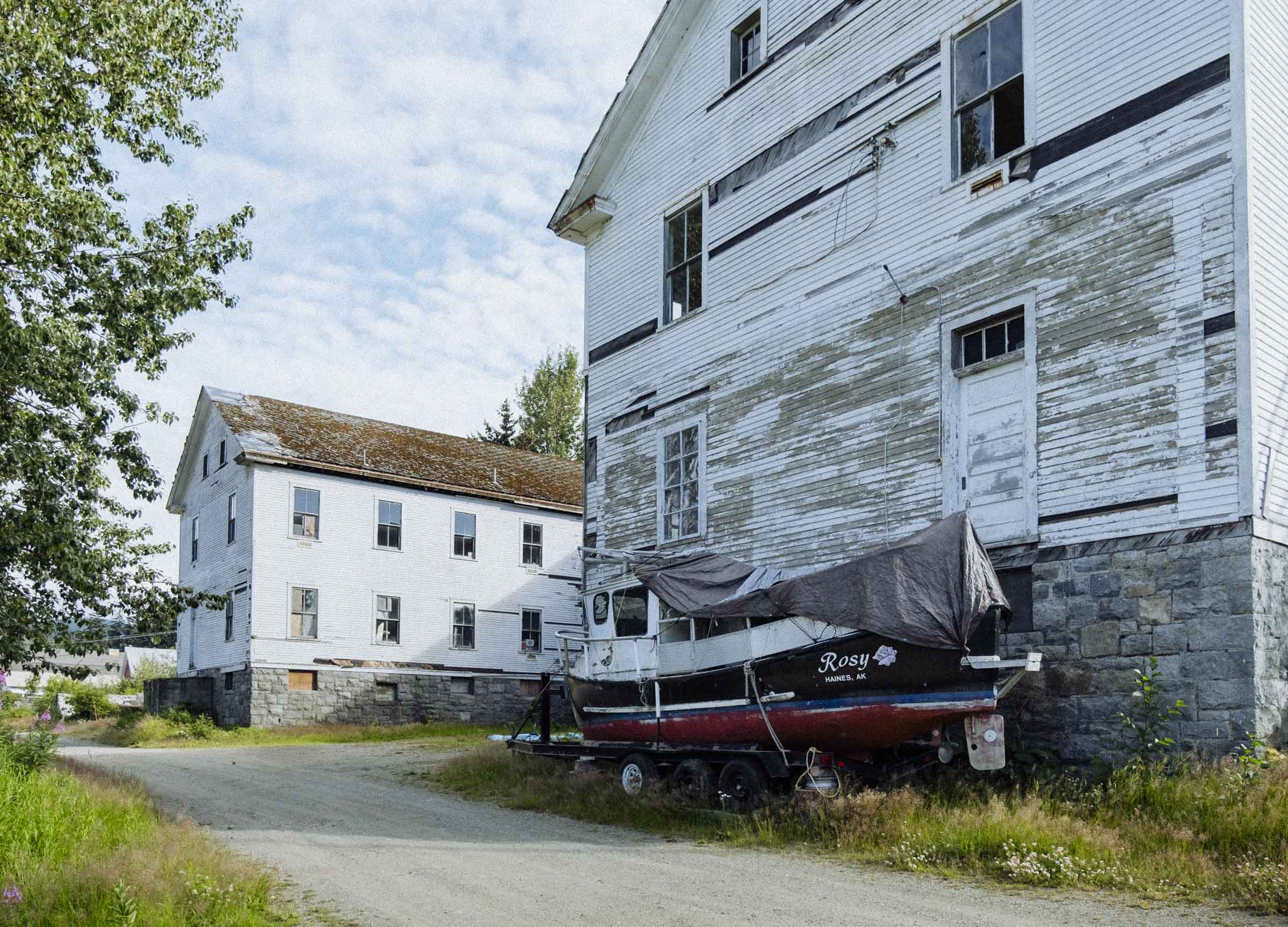
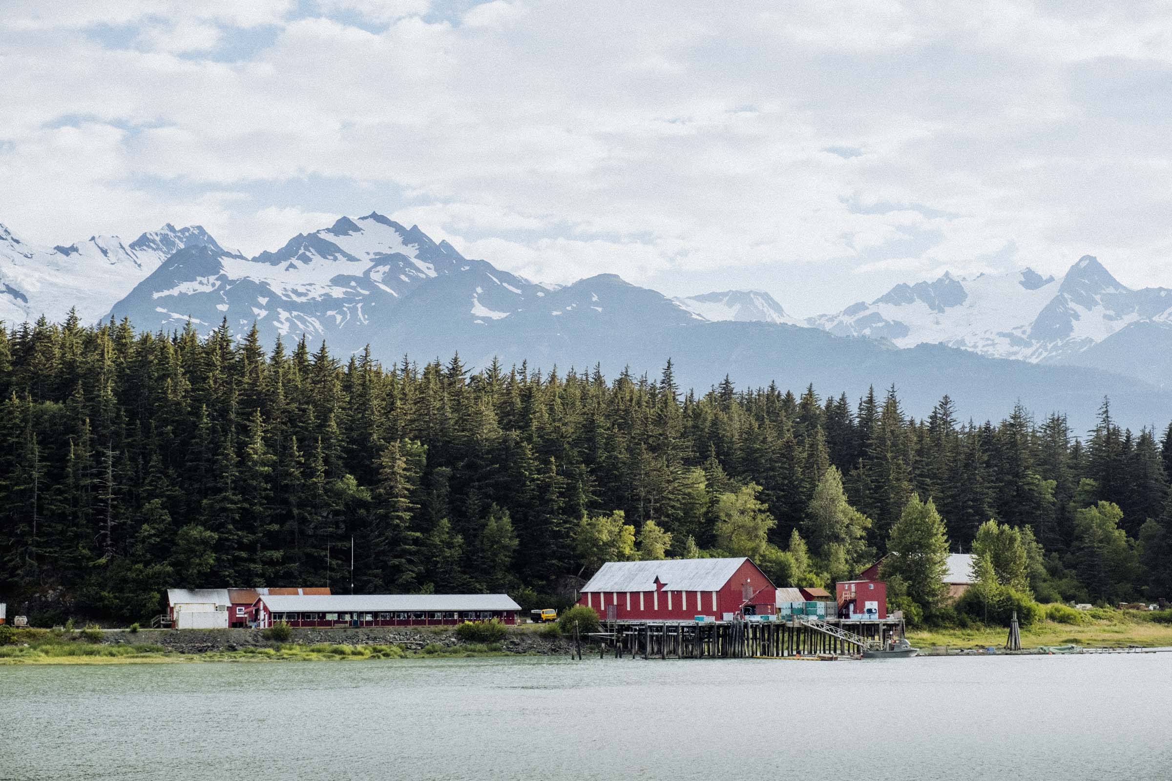
Crossing into Alaska at the Pleasant Camp border station, you begin the long descent towards Haines — first through forests then alongside the impressive Chilkat River. Nestled on a peninsula between the Chilkat and Chilkoot Inlets, Europeans first settled the area to establish a small trading post with the local Tlingits and inland Athabascans, but the town boomed as one of the staging grounds for prospectors preparing for the long journey overland to the Klondike. It's a cute little town with a year-round population of about 1,700 people, and an economy based mostly on logging and fishing. There's lots of nice old buildings to see, and the surrounding views of the mountains and inlets are spectacular.
Skagway → Carcross
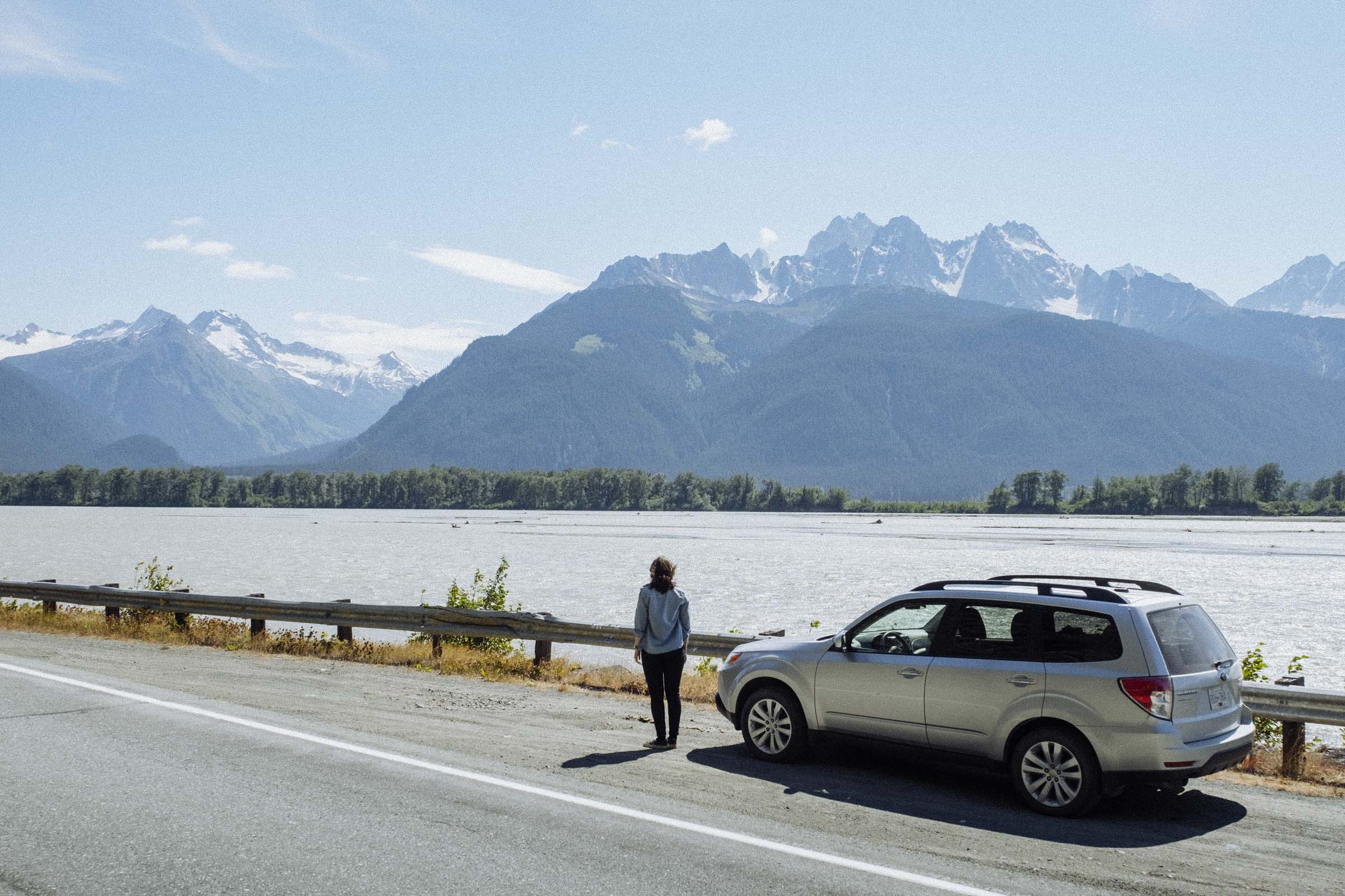
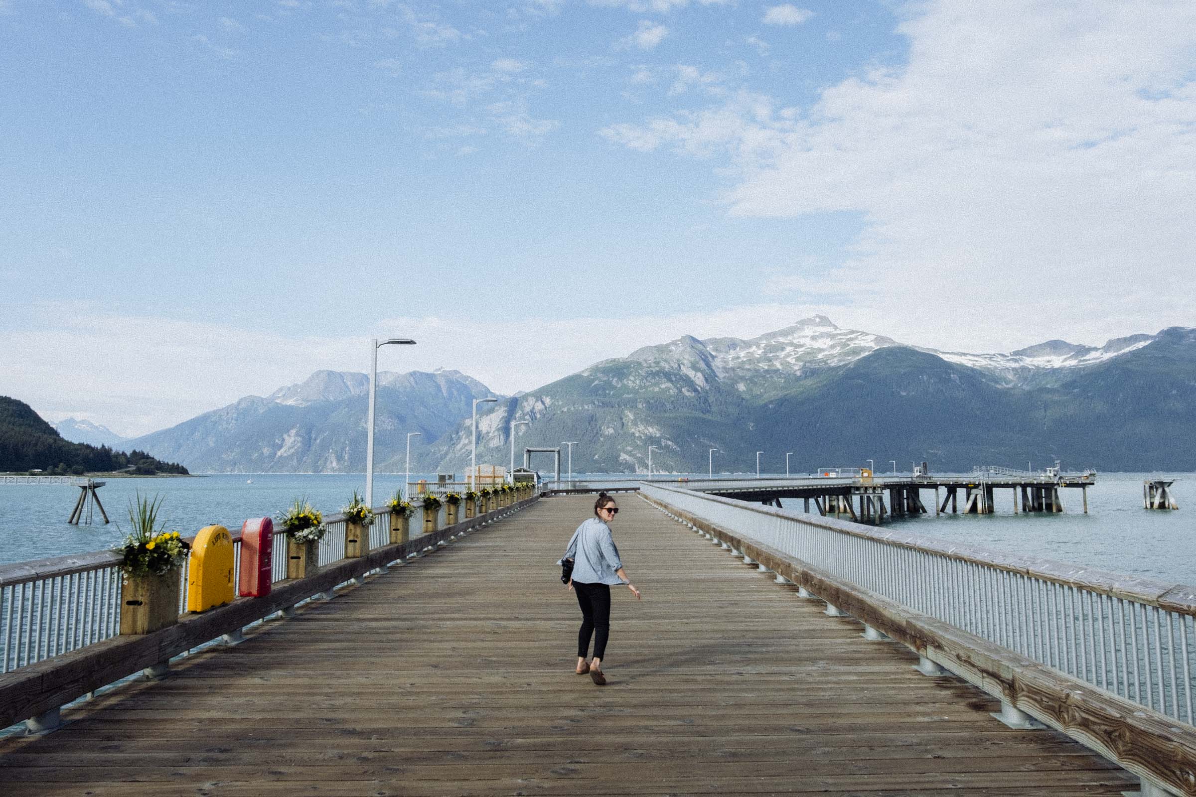
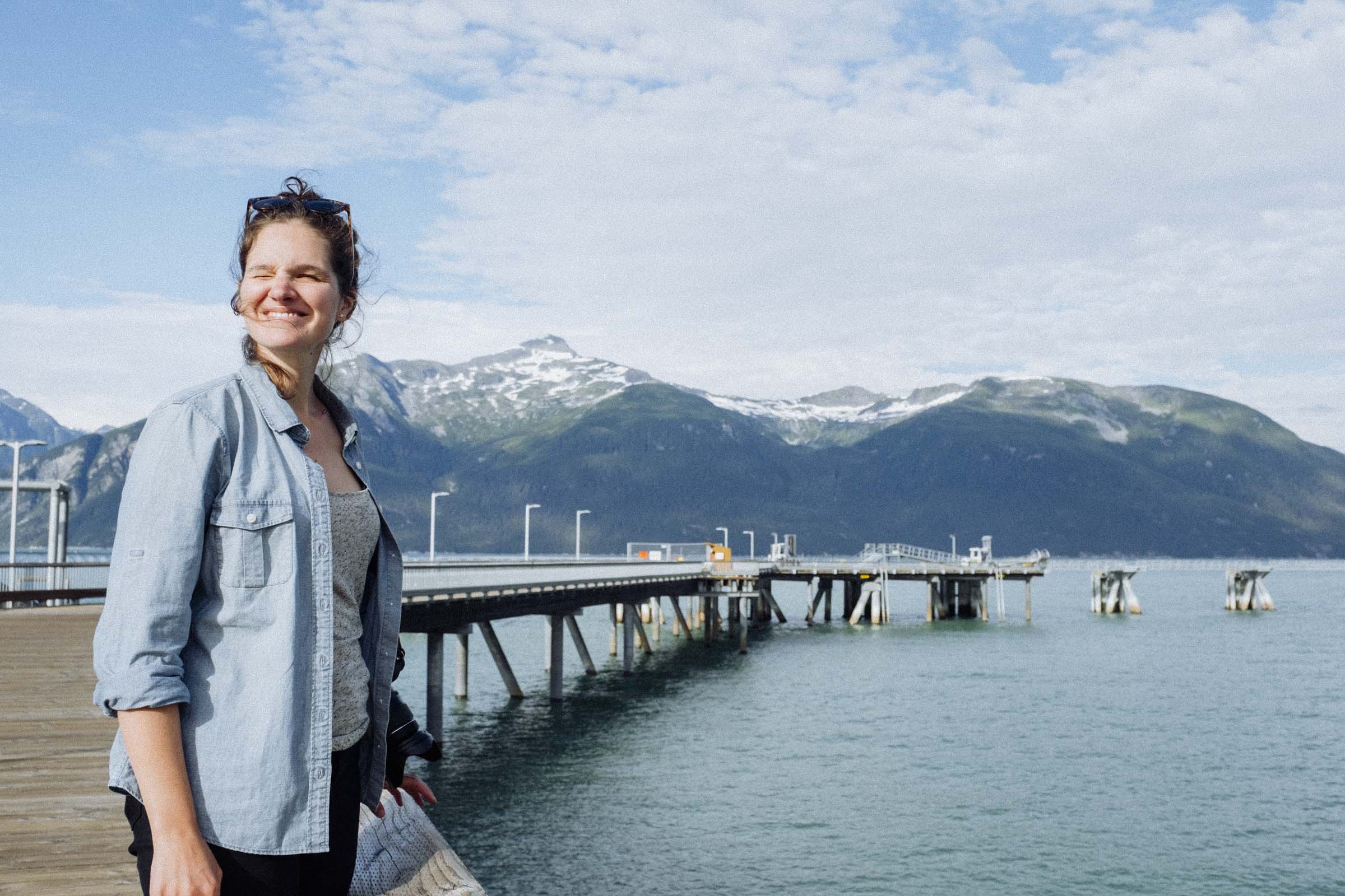
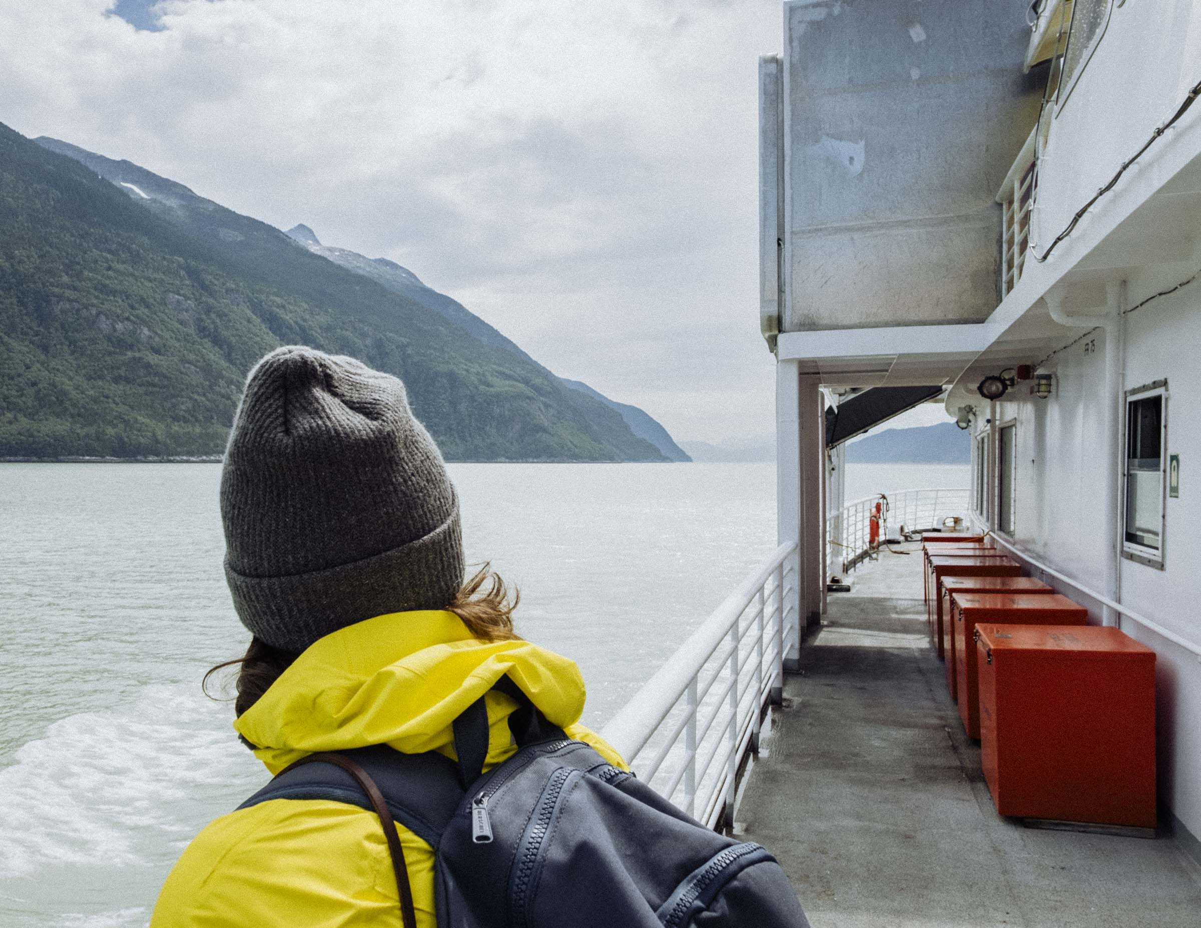
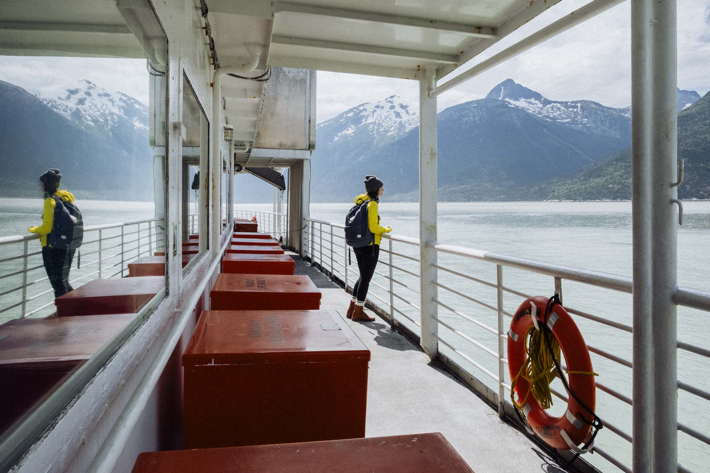
Check the ferry schedule before leaving Haines. It's a short ride to Skagway, but sailings are infrequent, and if it's a weekend maybe consider reserving a spot. The ferry ride is gorgeous — sailing up a narrow fjord, you're treated to bracing salty air and non-stop jaw-dropping views of glacier-draped mountains tumbling into the sea.
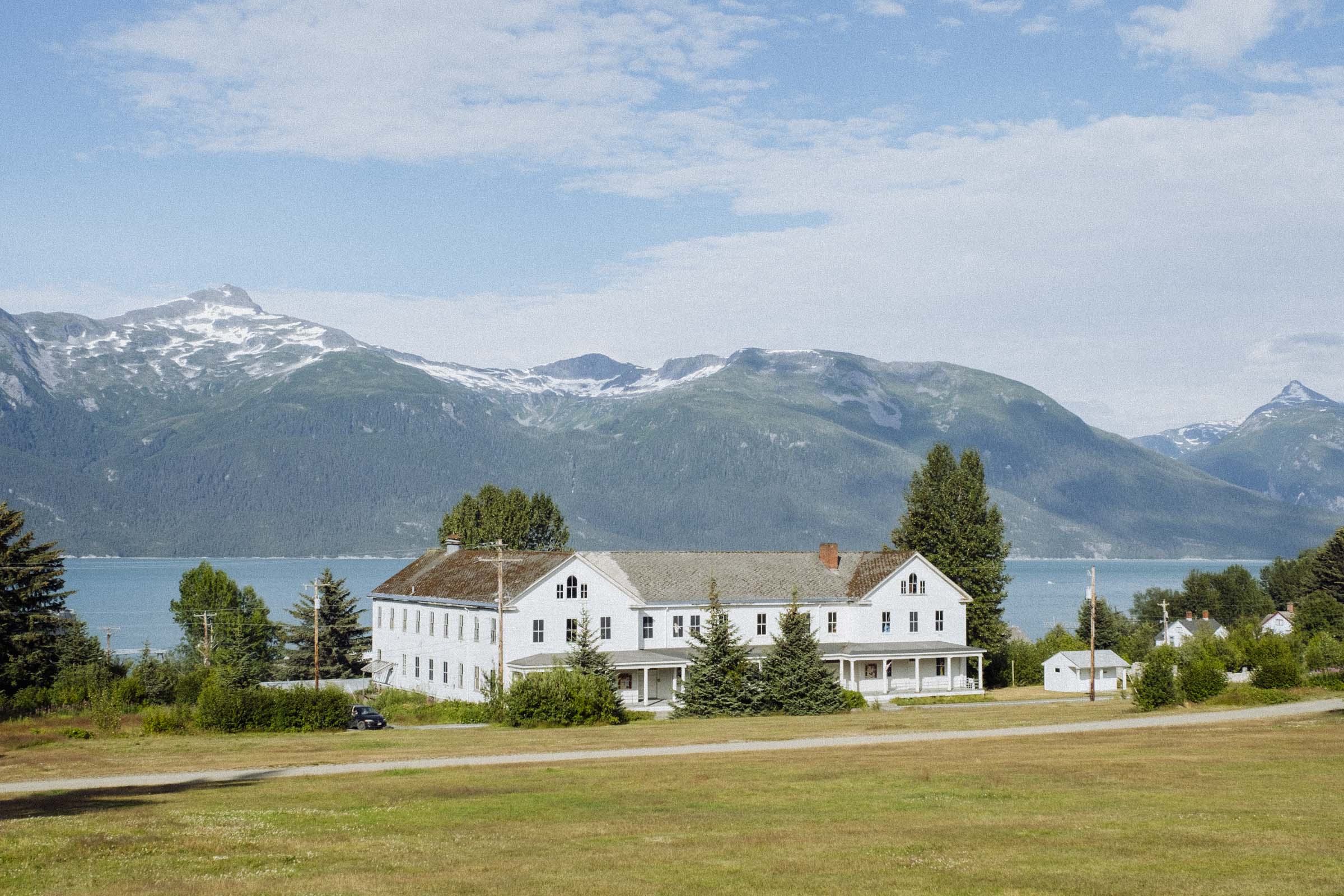
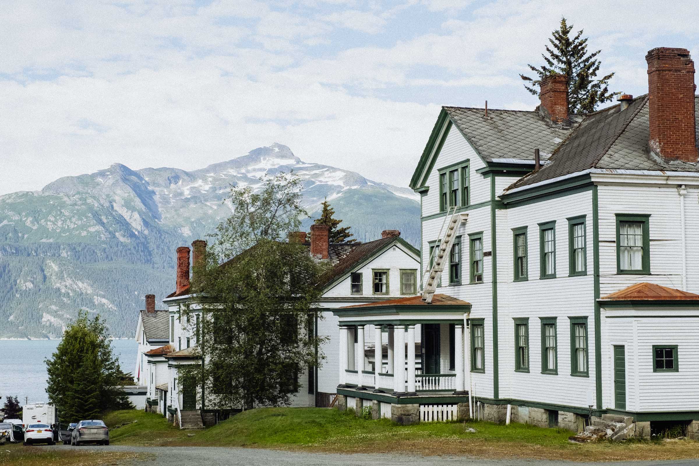
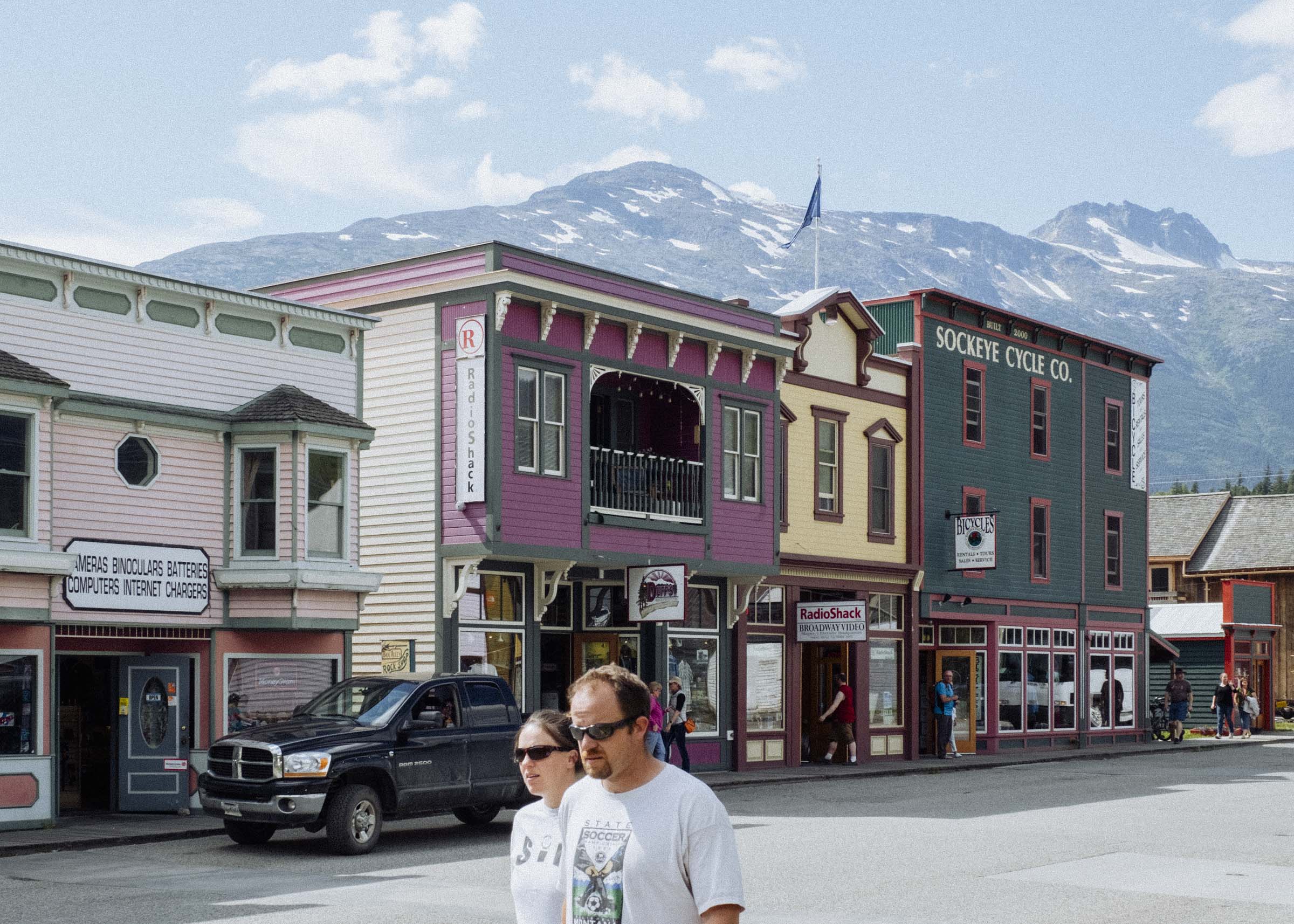
The principle supply point for prospectors heading to the Klondike gold fields, Skagway was once the largest city in Alaska. Every week 1,000 people would arrive, buy food and supplies, and head off into the mountains hoping to find their riches. It was a wild and lawless town where criminals and conmen ruled, but in the intervening century little Skagway has transitioned into something of a sleepy tourist town, and a popular stop for cruise ships coming up the Inside Passage of the Alaska Panhandle. It's still plenty cute, so take an afternoon to stroll the beautifully restored main street, enjoy some ice cream, and peruse the baubles. If you're keen and brought your hiking boots, consider tramping one of North America's most legendary treks — the Chilkoot Trail. Following the footsteps of the stampeders, you'll climb 53km from Skagway to Bennet Lake and the headwaters of the Yukon River, where prospectors razed entire forests to build rafts and boats that would — fingers crossed — float them the final legs of the journey down to Dawson.
Driving out of town, you cross over the Coast Mountains via White Pass, and enter back into Canada. Although purportedly an easier climb than the more famous Chilkoot Pass, during the Gold Rush so many horses collapsed from exhaustion that this route was known as the "Dead Horse Trail." Due to the harsh mountain climate, gruelling conditions, and length of journey, travellers on both trails suffered from widespread starvation and many of the prospectors on the White Pass were forced to make meals from dead horses they found along the road. Eventually the Northwest Mounted Police required all prospectors to carry almost 1 ton of food and supplies (enough to live on for a year) in the hopes of limiting starvation, but this forced weary travellers to hike as many as 4000 miles up and down the trail carrying a little portion of the required supplies at a go.
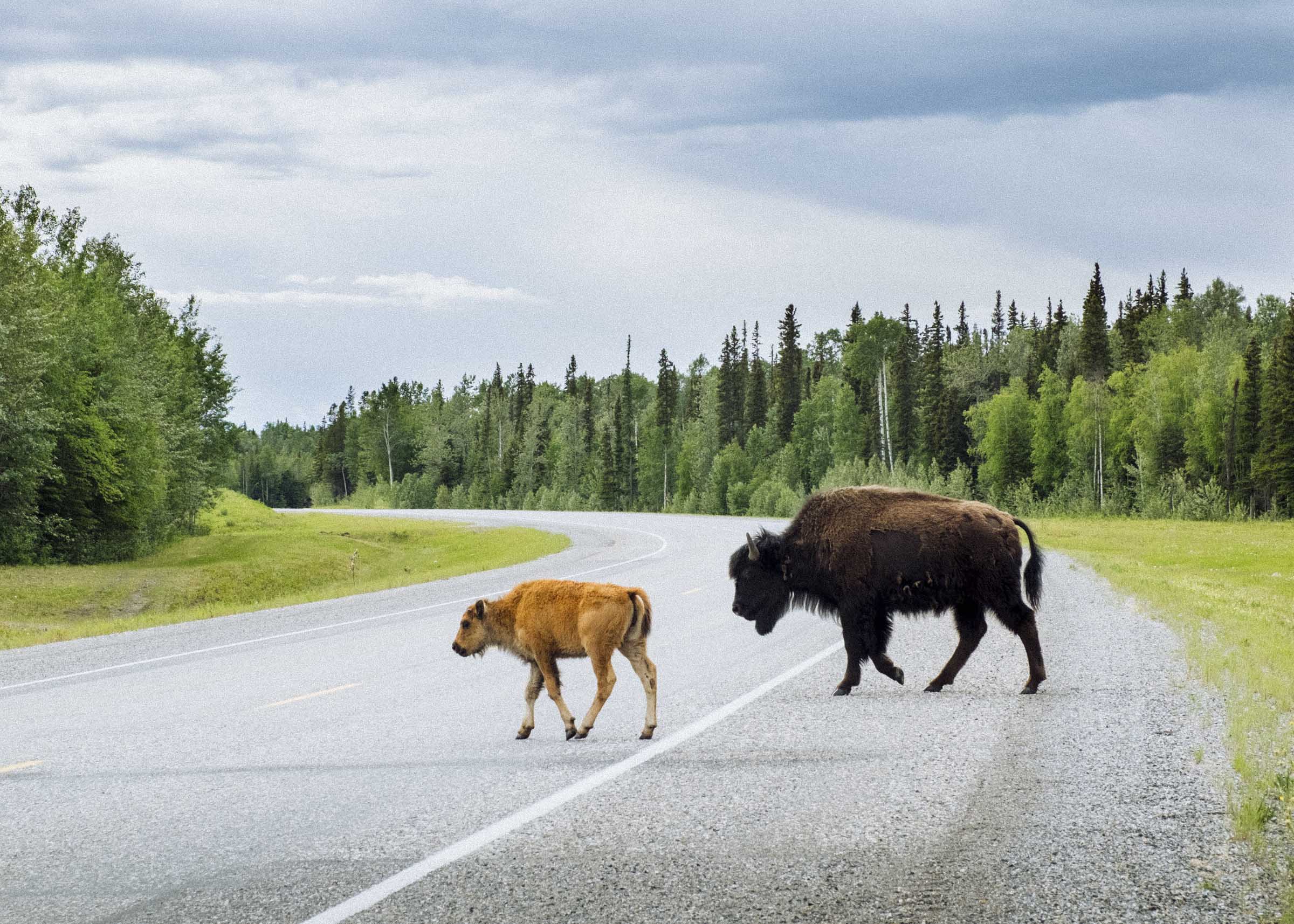
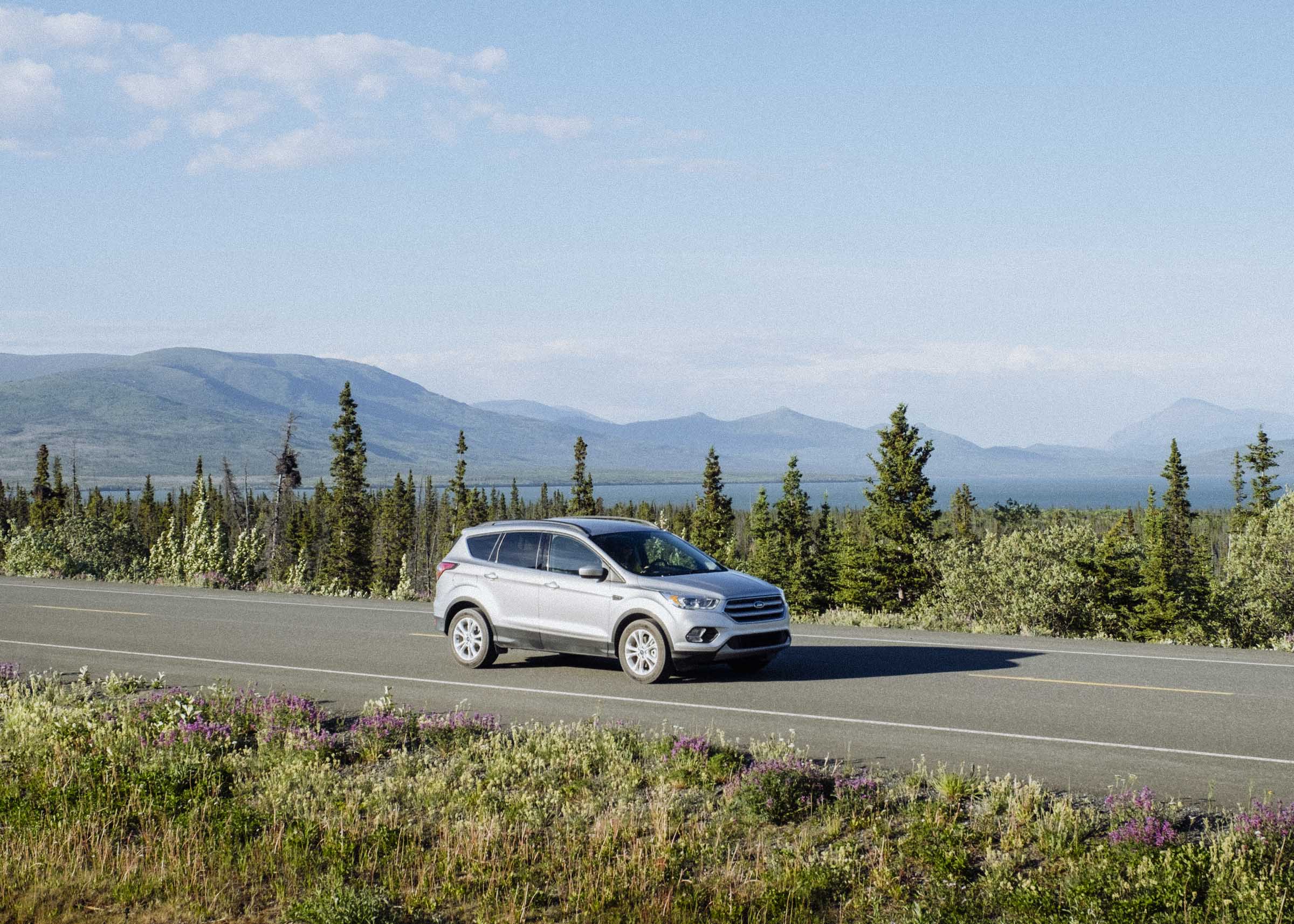
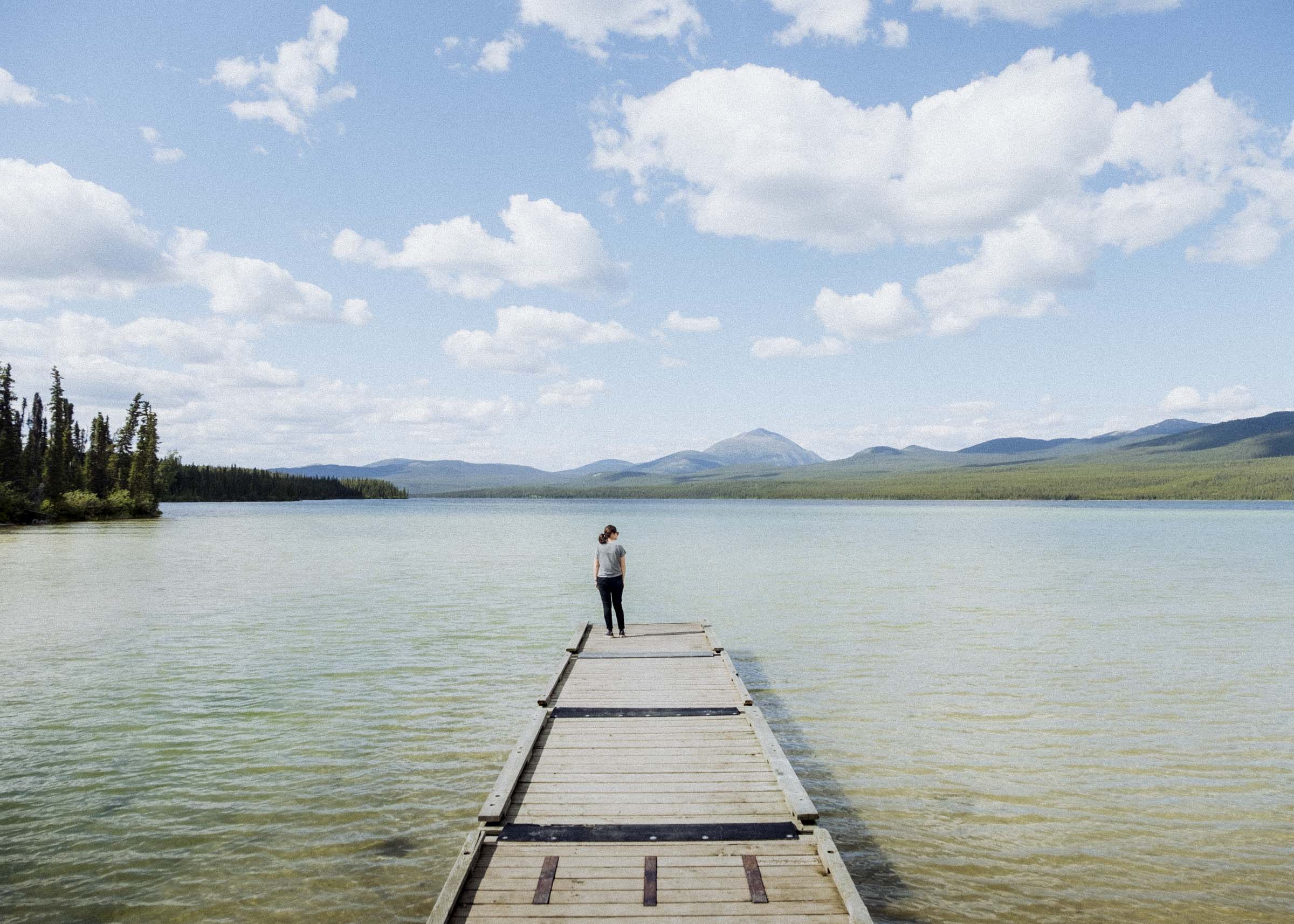
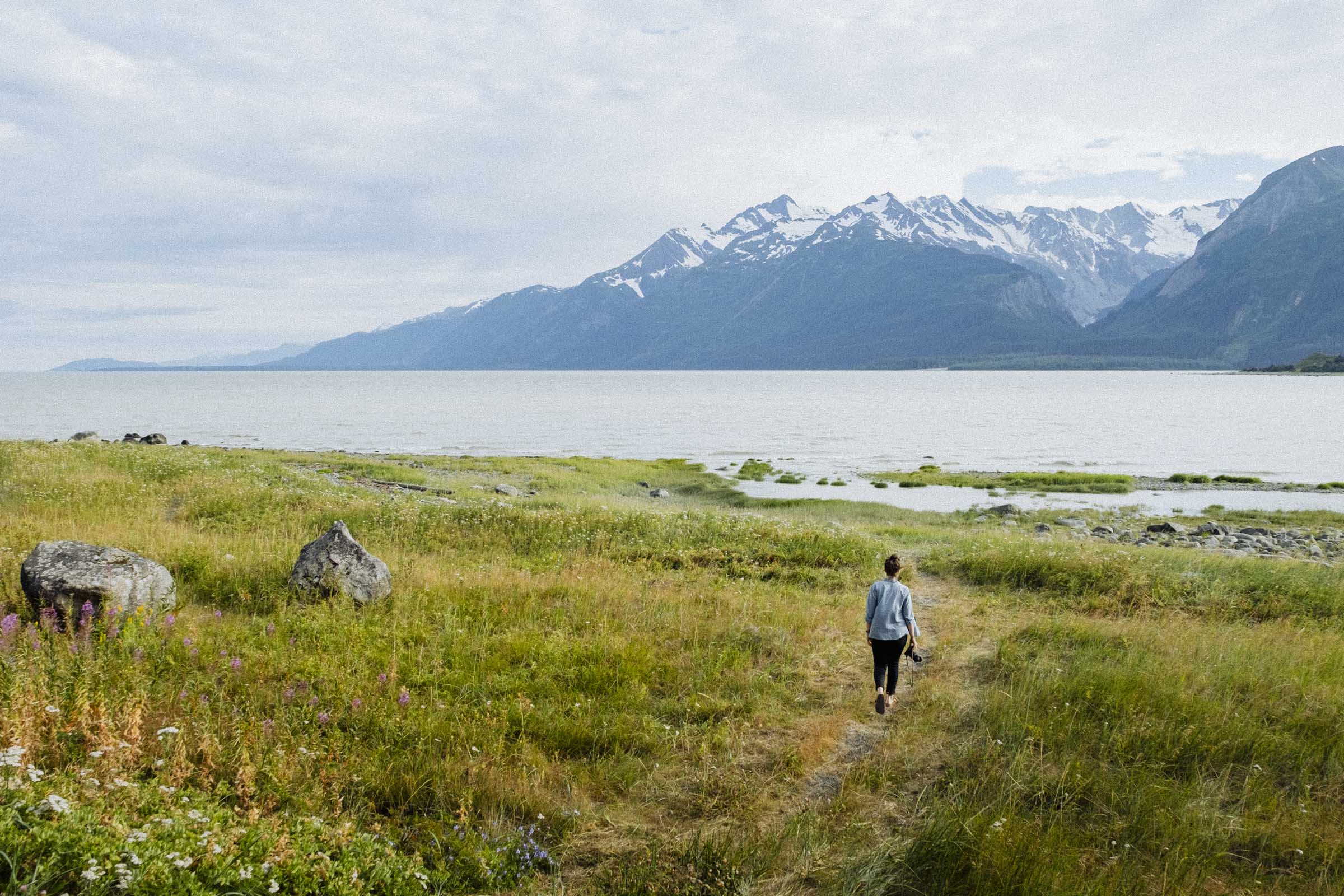
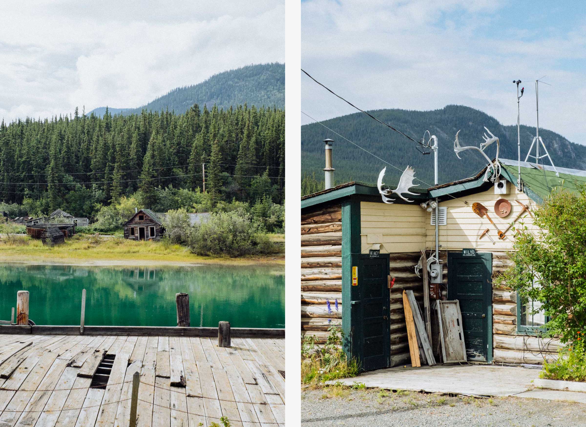
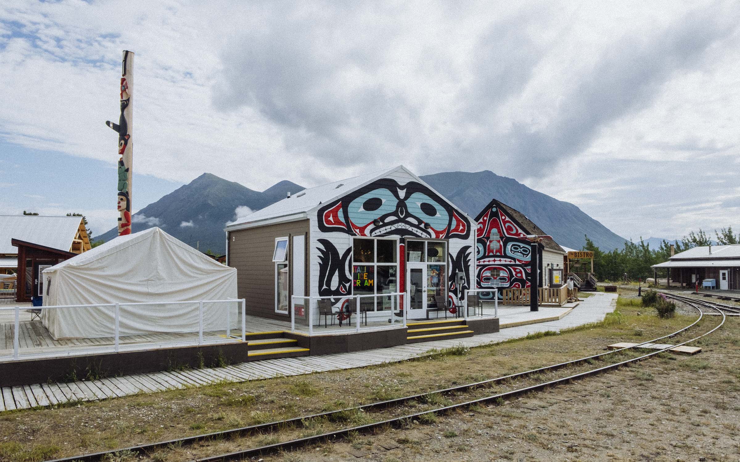
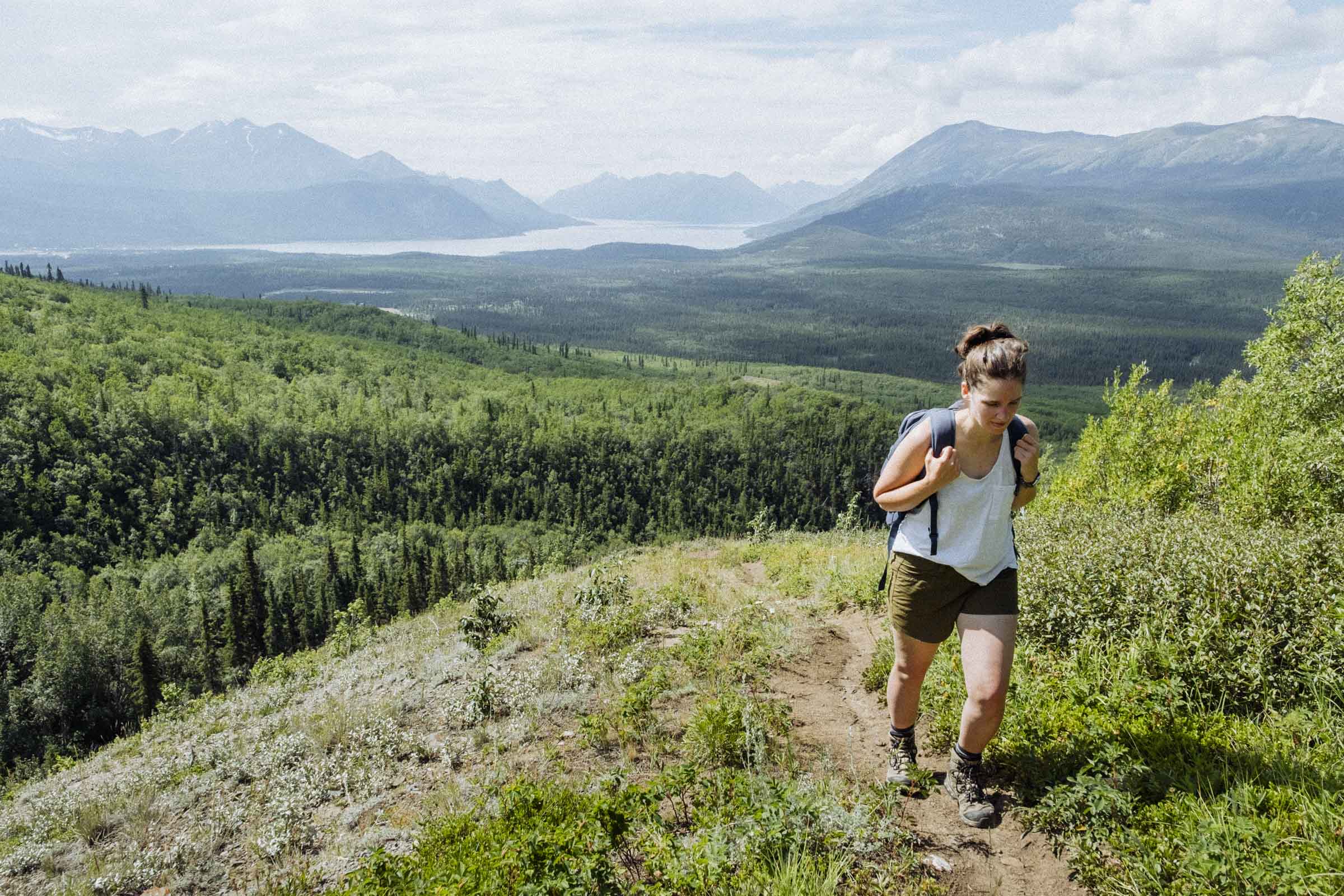
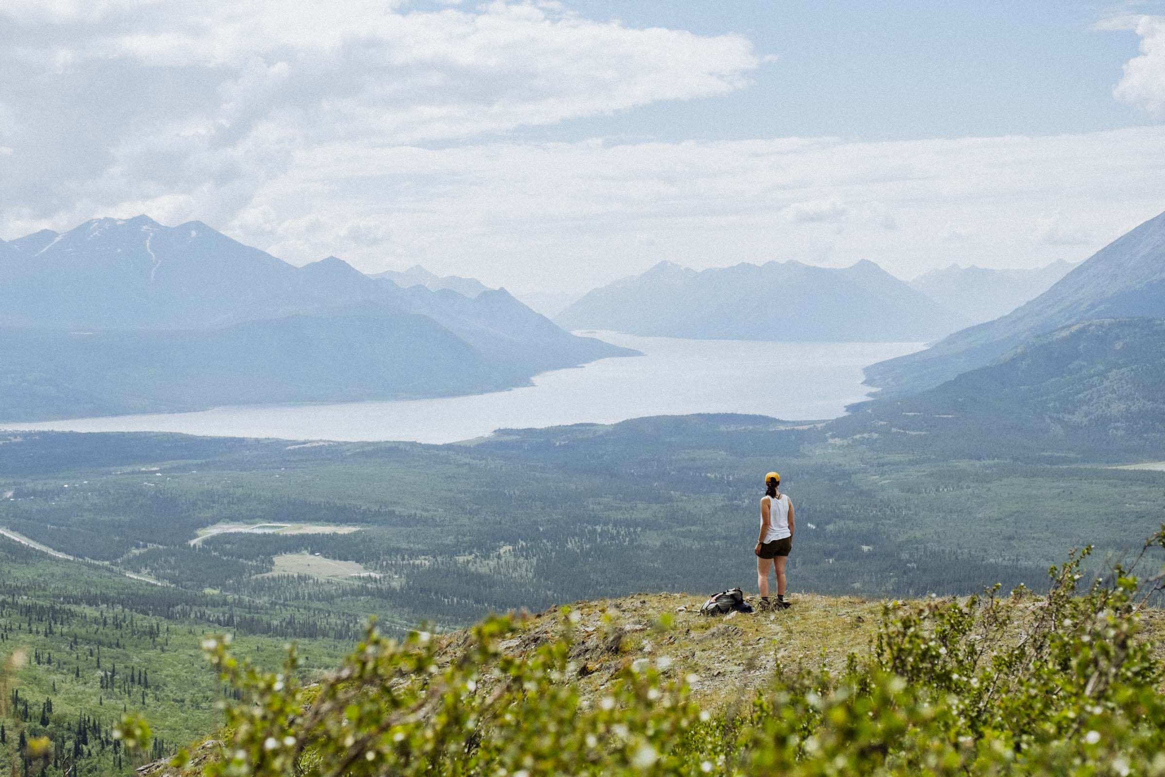
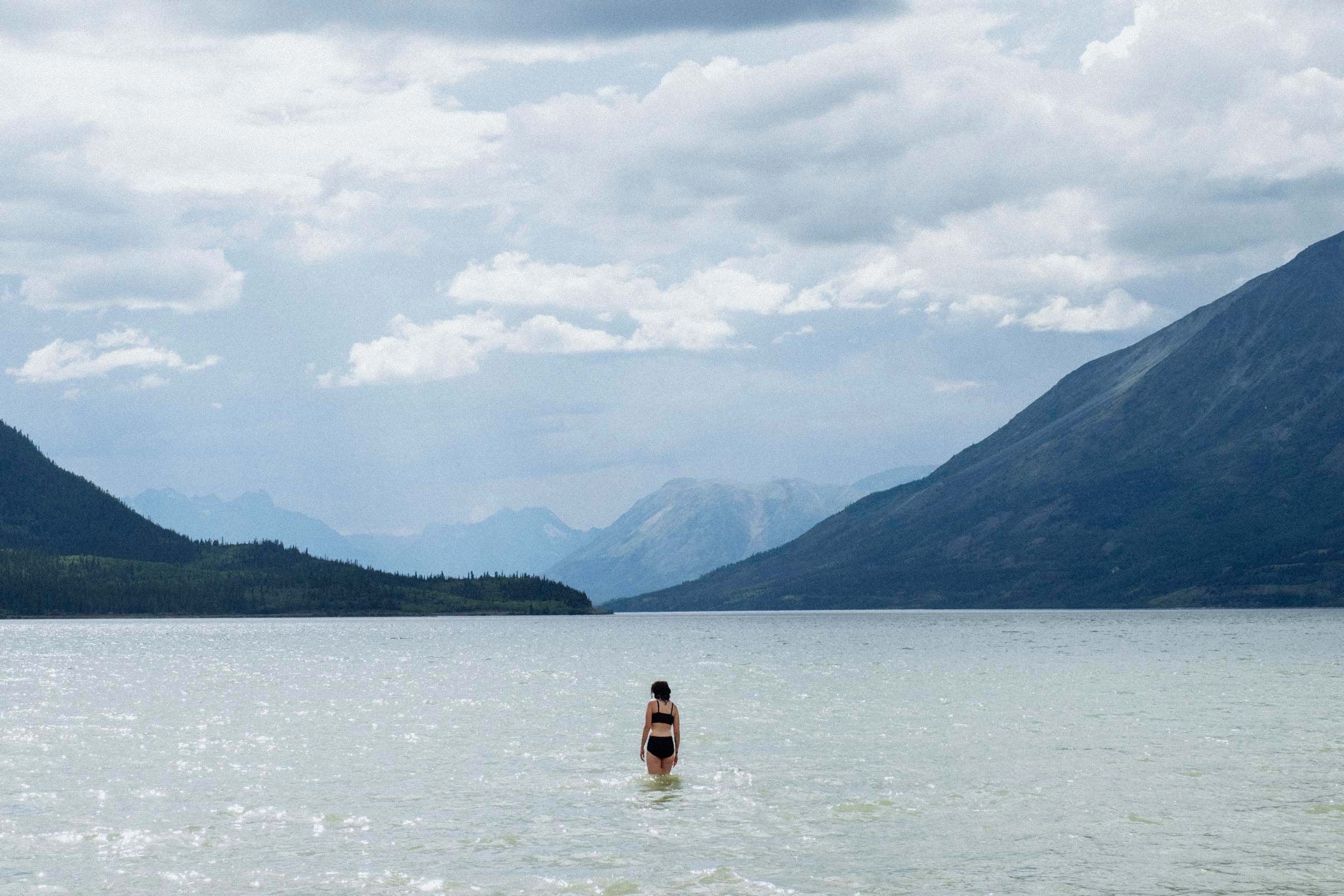
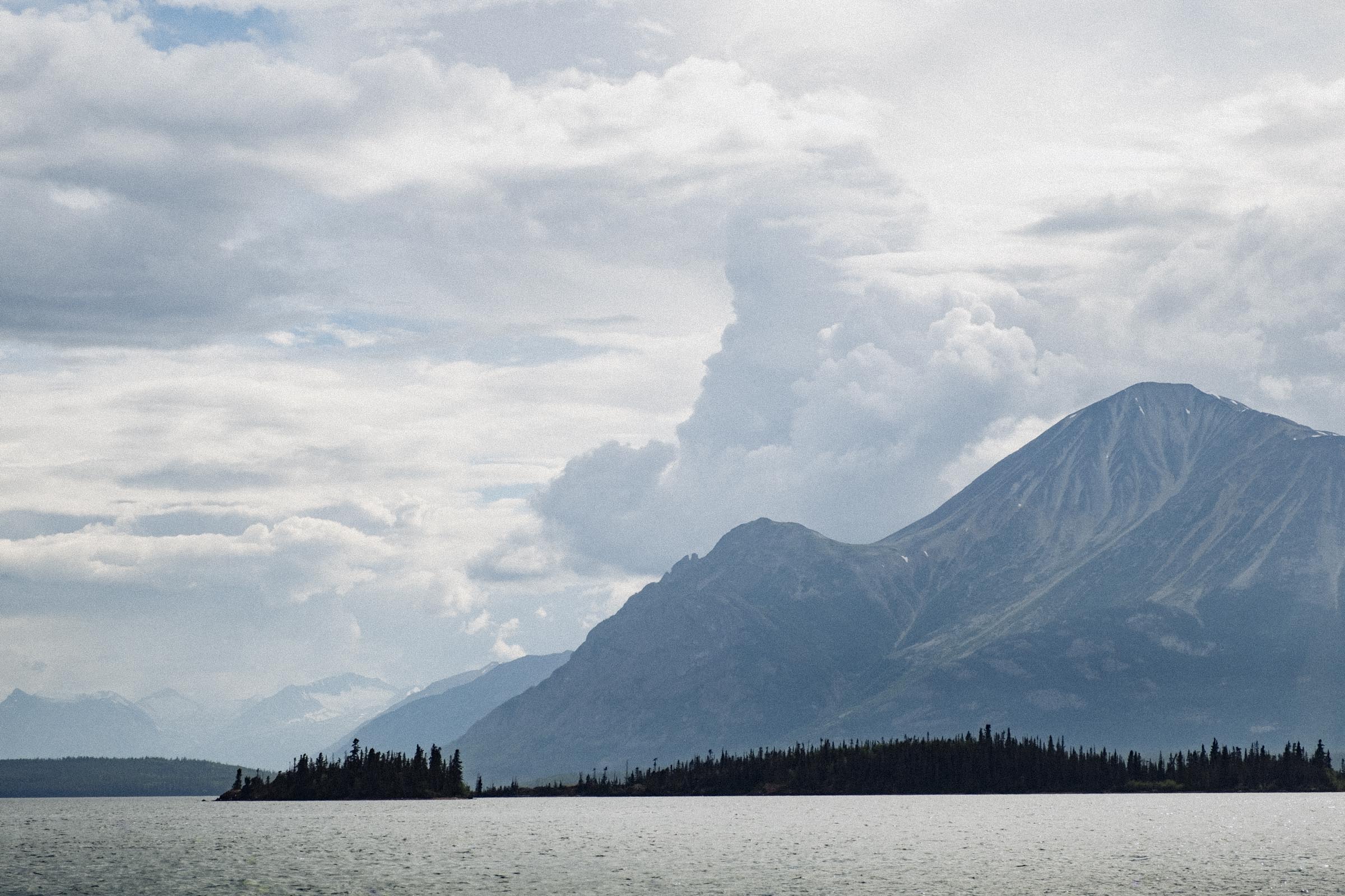
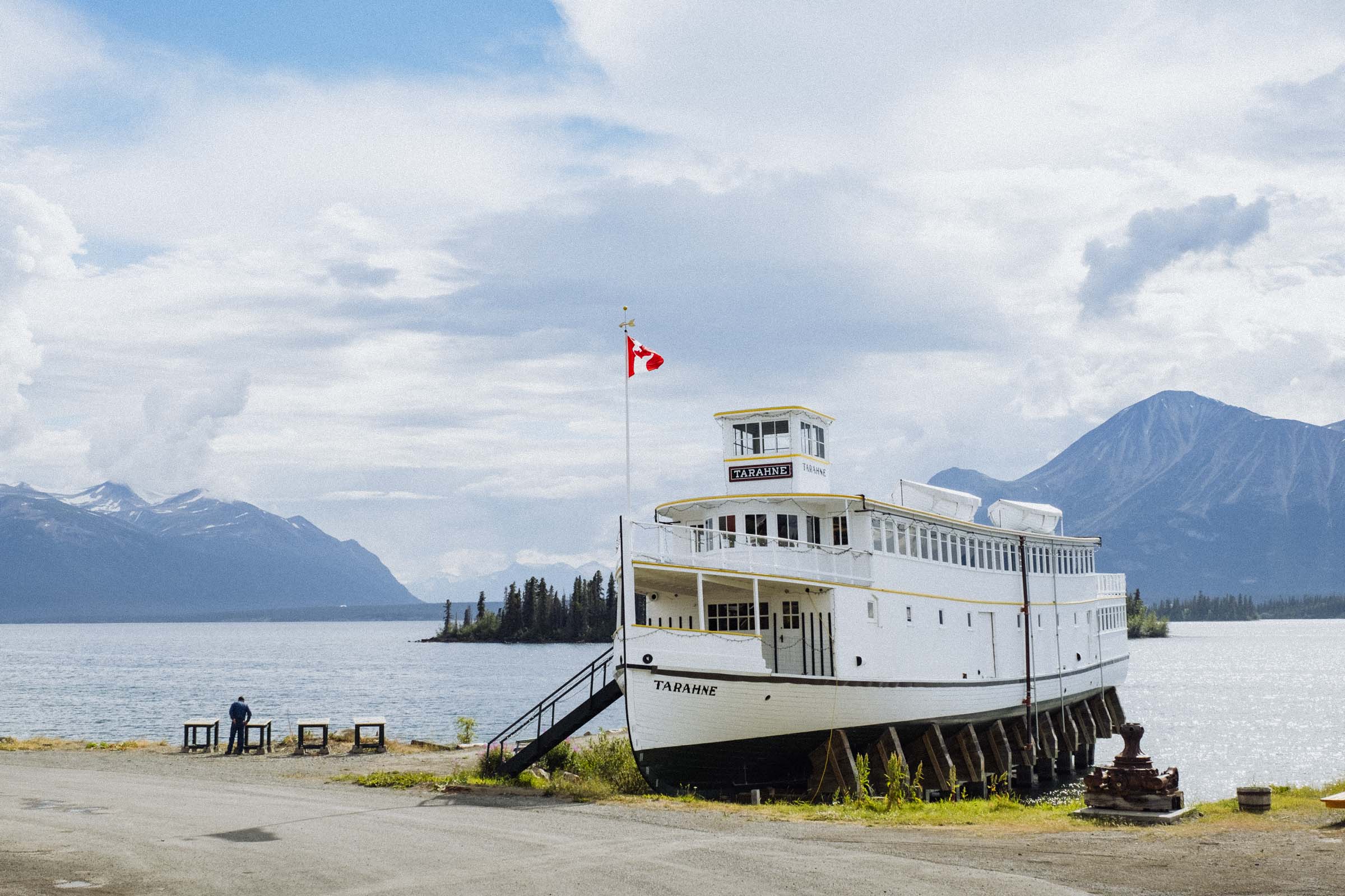
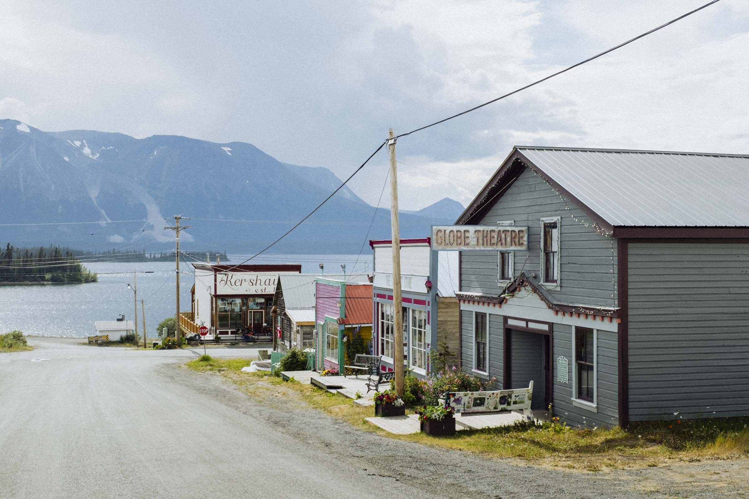
Descending from the high mountain pass you enter the lake country of BC and the Yukon, where each valley has a chain of long picturesque lakes. Here we find Carcross, the next town on our journey. Home to the inland Tlingit and Tagish people for thousands of years, Carcross is a shortened form of "Caribou Crossing," named for the migration of huge numbers of caribou across the natural land bridge between Lake Bennett and Nares Lake. The caribou population was decimated during the gold rush however, mostly harvested as food for the tens of thousands of miners passing through, though through recent conservation efforts the caribou are returning.
Today, Carcross is a little village of about 300 people, and the economy is largely reliant on tourists and travellers. There are a couple cafes and shops, a beach, and a tiny desert complete with sand dunes. You'll find world-famous mountain bike trails on nearby Montana Mountain, and a great hiking trail up Caribou Mountain for sweeping views over beautiful Lake Bennett.
Sidetrip: Atlin, BC
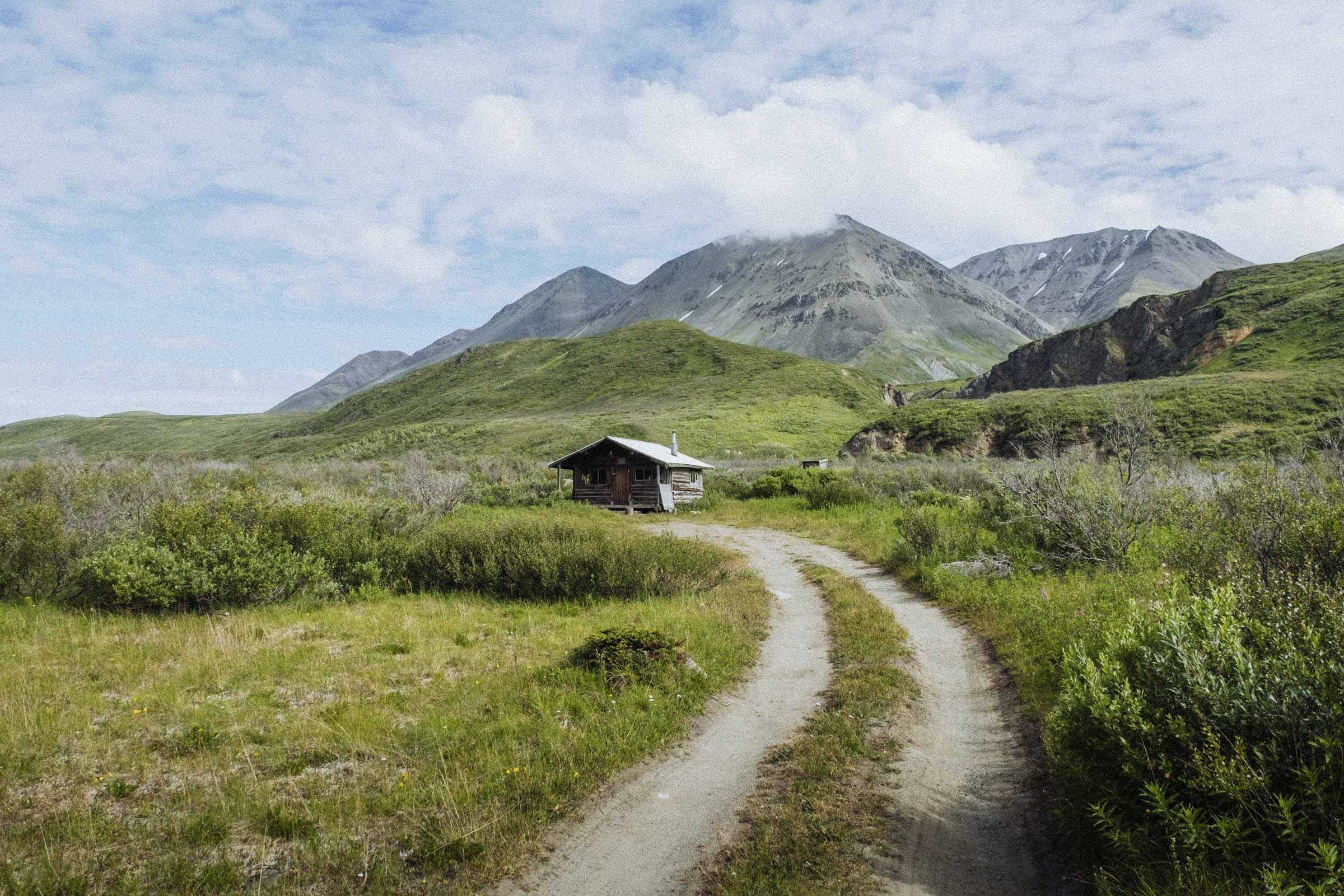
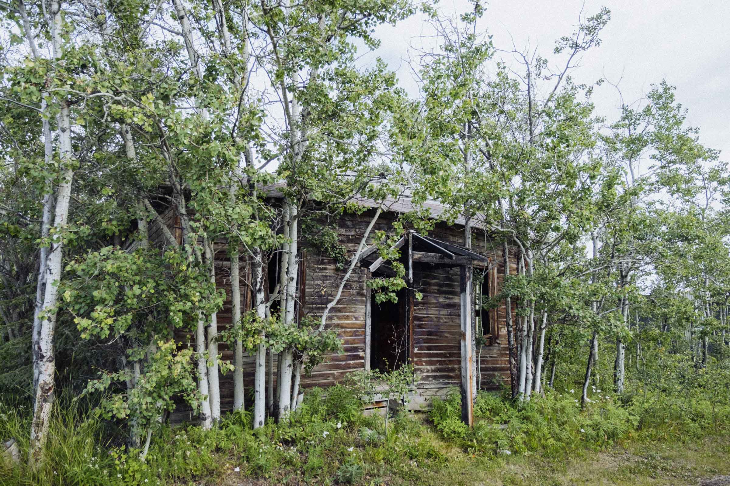
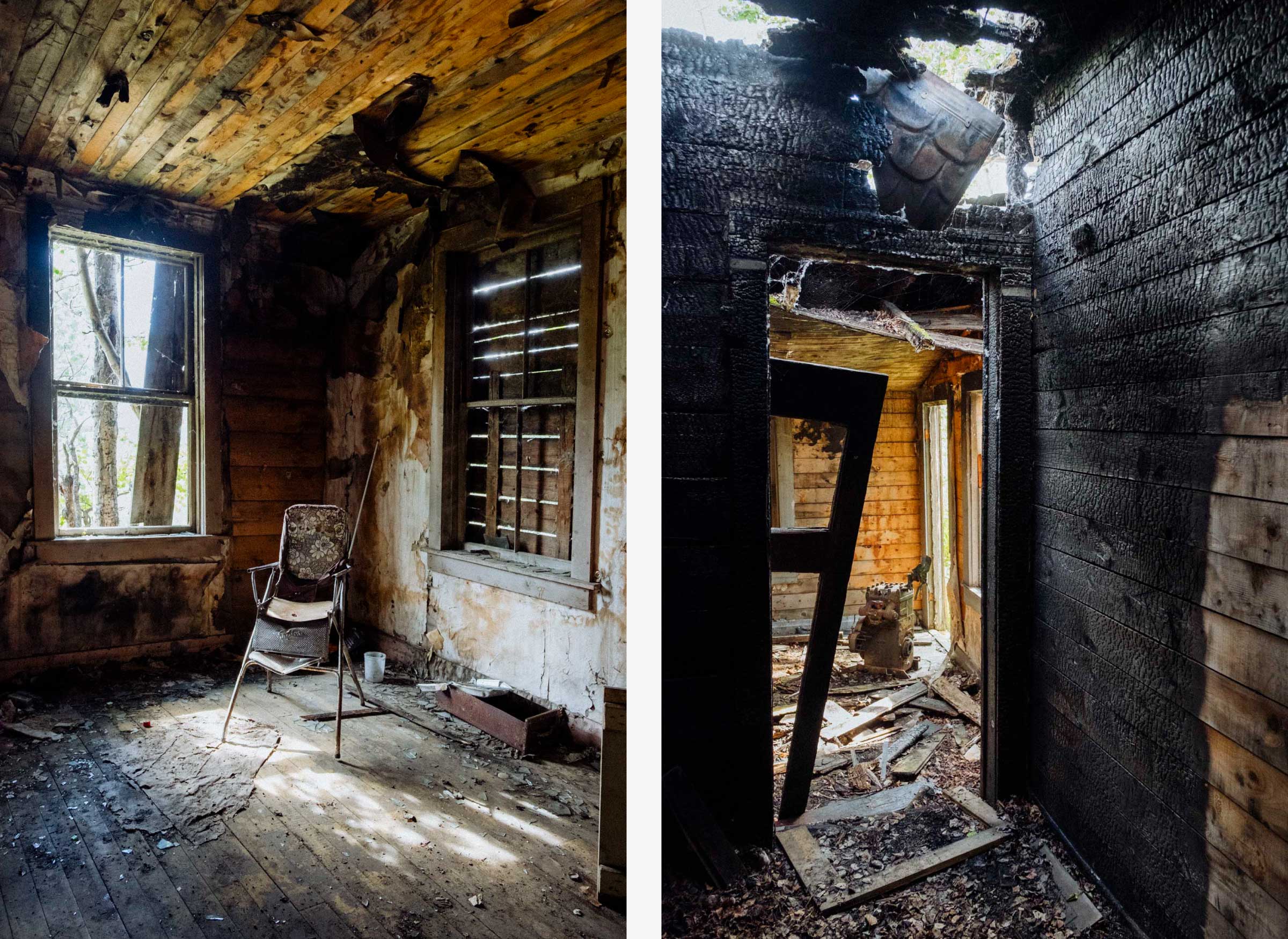
As word of the 1898 Klondike gold rush spread around the world it inspired prospectors to fan out into the surrounding areas in the hopes of finding their own strikes, and few places proved richer than Atlin, BC. By 1899, five thousand people had flocked to the area, and it was a busy and important centre of commerce. In the 1920s the picturesque lakeside town also became a popular spot for tourists journeying up the lakes via steamboat, and for a time was known as "Switzerland of the North." The Depression put an end to such tourism however, and when the passenger boats eventually ceased operations little Atlin was cut off from the world for decades until the road was finally put in. As the only nearby town with BC government offices we were compelled to visit in order to renew our auto insurance, but we were very very glad we did. There's great camping on the lake, some quaint lukewarm hotsprings, a neat burned-out old brothel, and plenty of inspiring mountain views.
On to Dawson
We spent almost a week in Whitehorse but forgot to take any photos I guess. It is of course the most important city in the area, home to the Territorial Government, an international airport, and most every kind of shop and restaurant and service you could want. It's a fun little city to spend time in, and still has plenty hints of its old gold rush past, too, including rustic log cabins and a paddle wheel museum. The visitor centre was a marvel, with lots of great info about the area and where travellers can pick up a free parking pass, and the nearby Miles Canyon and the Yukon Wildlife Preserve are both well worth a visit.
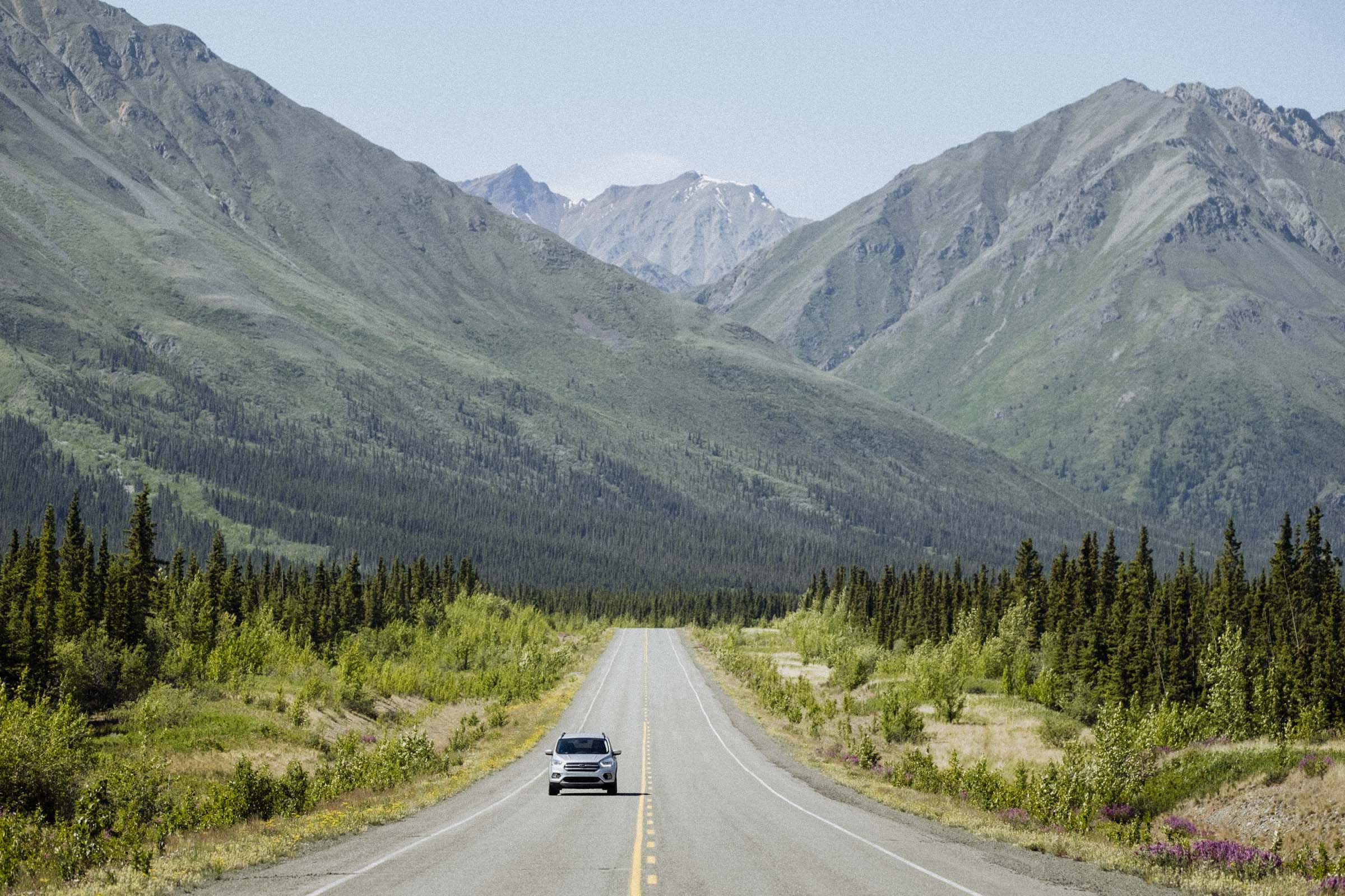
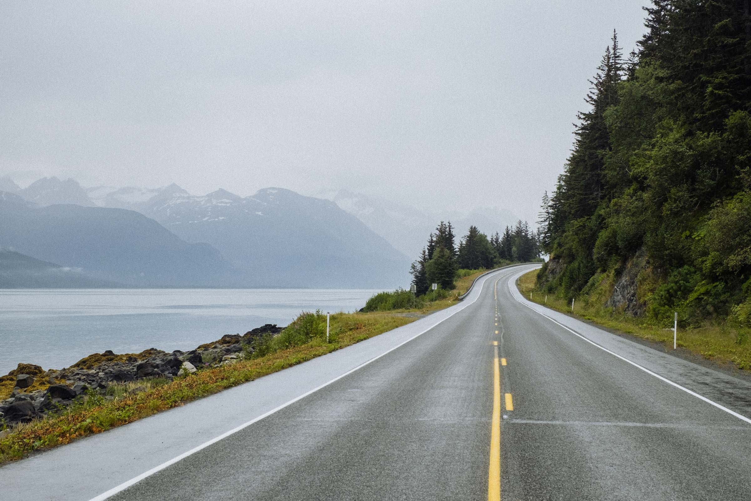
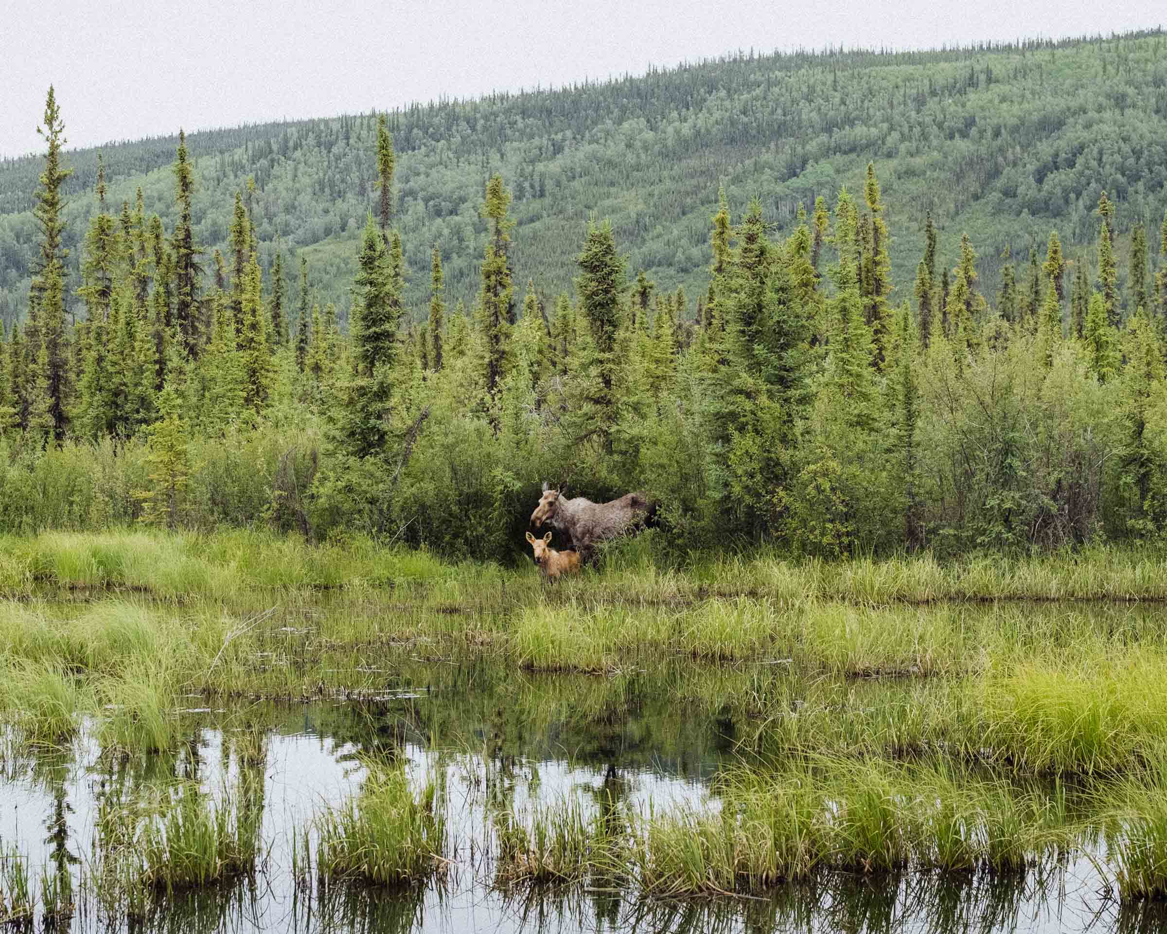
Continuing north, the highway cuts through over 500km of rolling hills and forest. There's great camping at Lake Laberge and Twin Lakes, some nice viewpoints along the way, and a decent chance you'll spot some wildlife along the route, but for the most part this section of the drive is dominated by the boreal forests. On to Dawson!
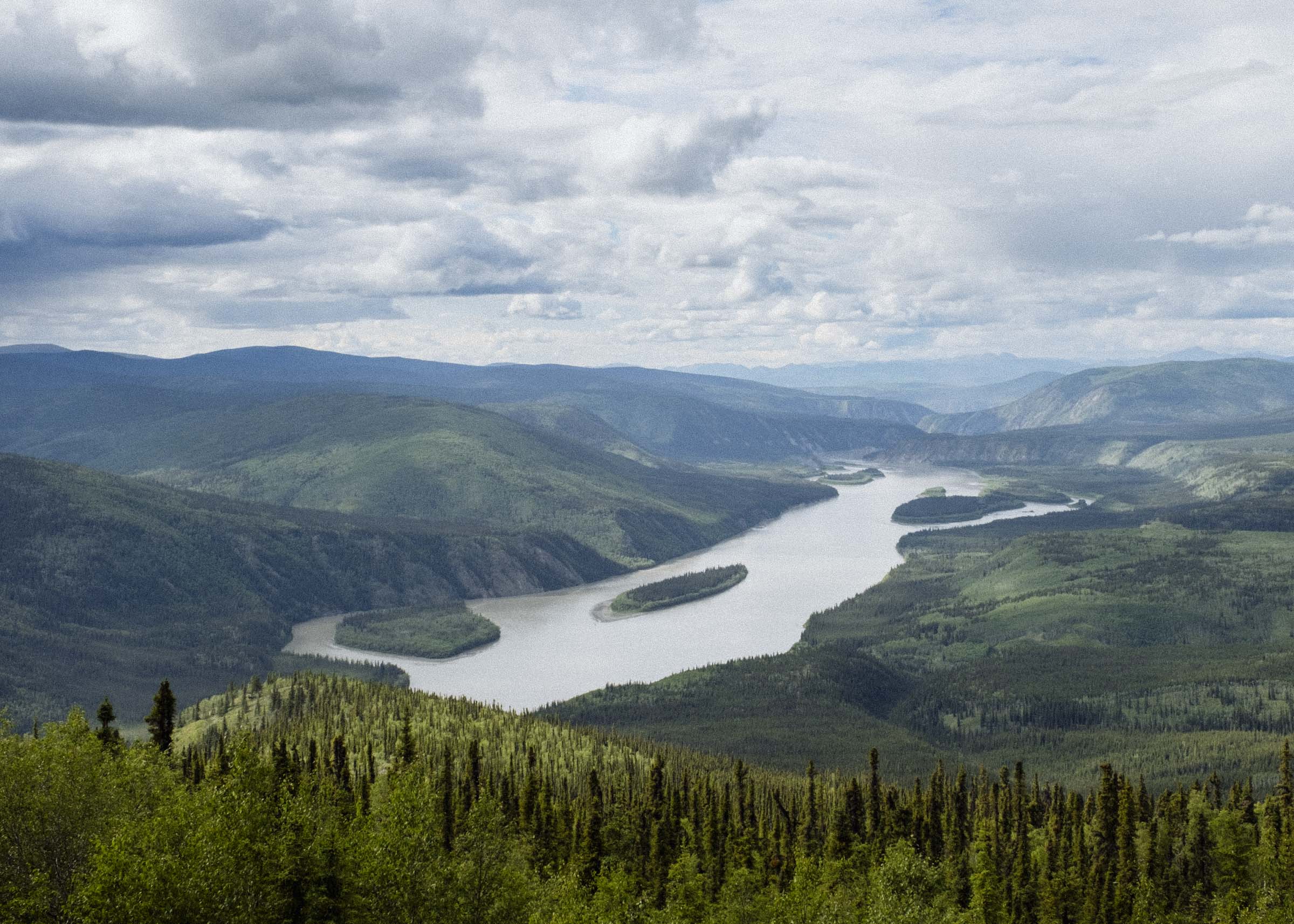
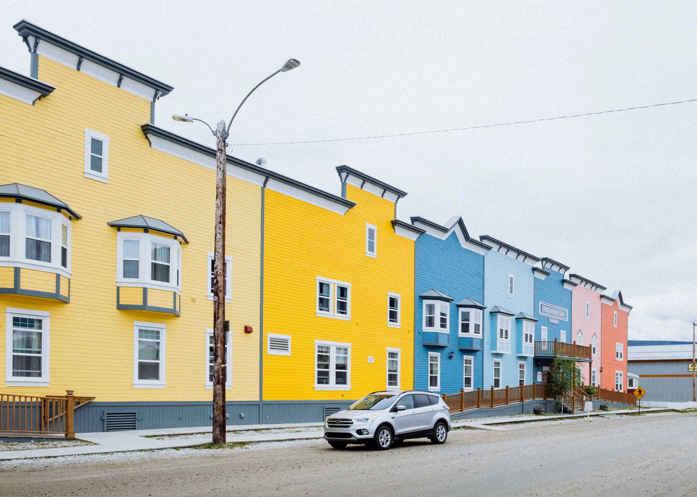
The epicentre of the Klondike was Dawson City. Inexorably linked to the gold rush, the town boomed seemingly overnight to over 30,000 people by 1898. But many arrived too late — most of the claims were staked years earlier and winter already well on its way, which meant hastily building a shack and suffering almost seven cold and miserable months before the ground unfroze and prospecting became feasible again. But if you struck it rich almost anything was possible, and newcomers rubbed shoulders with recently-minted millionaires, and there was such an air of larger-than-life adventure and possibility that many never even bothered to look for gold.
By 1899 the rush was already over, and by 1905 only 5,000 people remained. The population declined further still after WWII when the Alaska Hwy bypassed it by almost 300km to the south, and again in the 1950s when Whitehorse replaced it as the territorial capital. Today only 1375 people remain, though it's still the second largest city in the Yukon, and producing gold to this day.
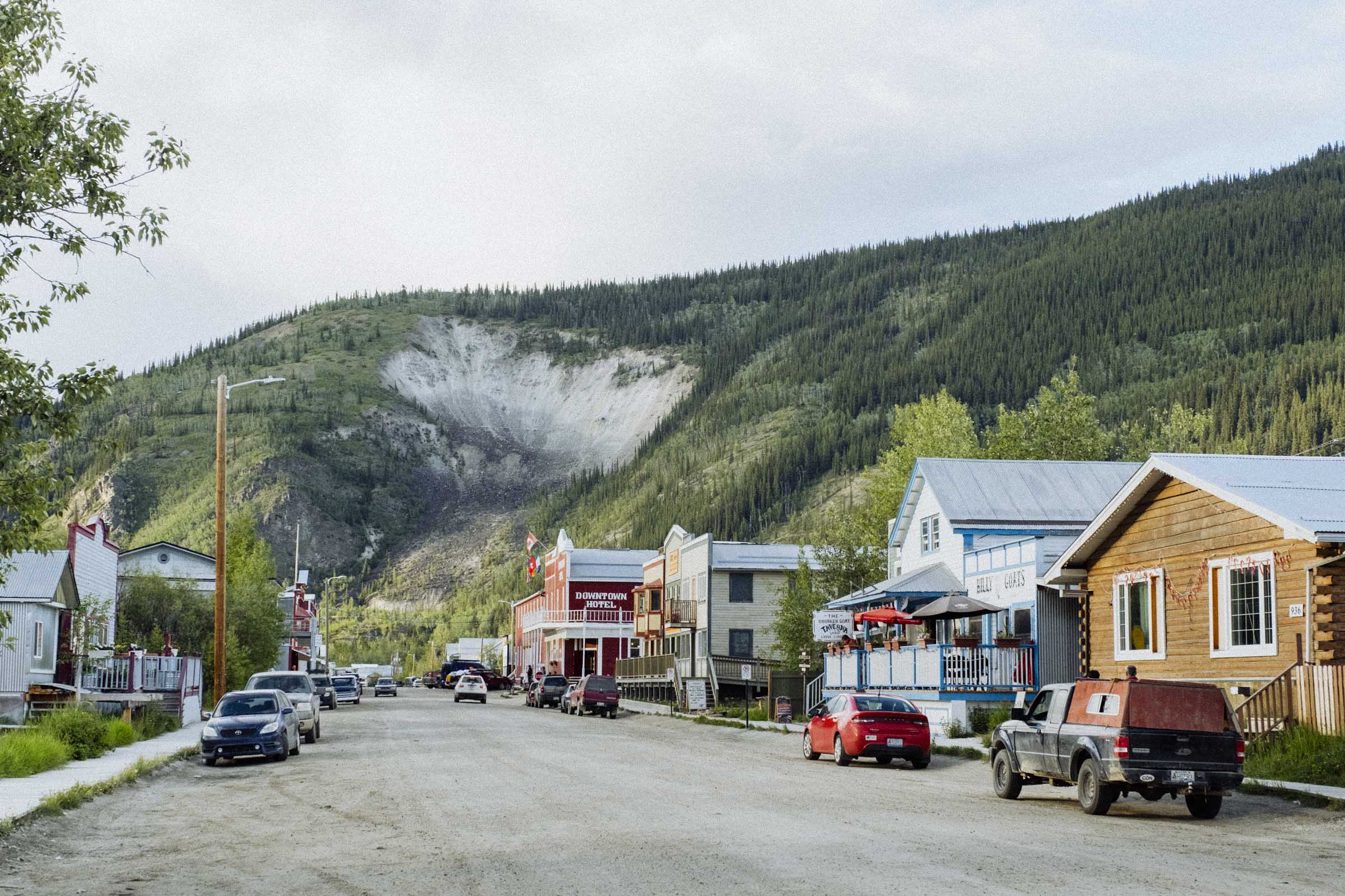
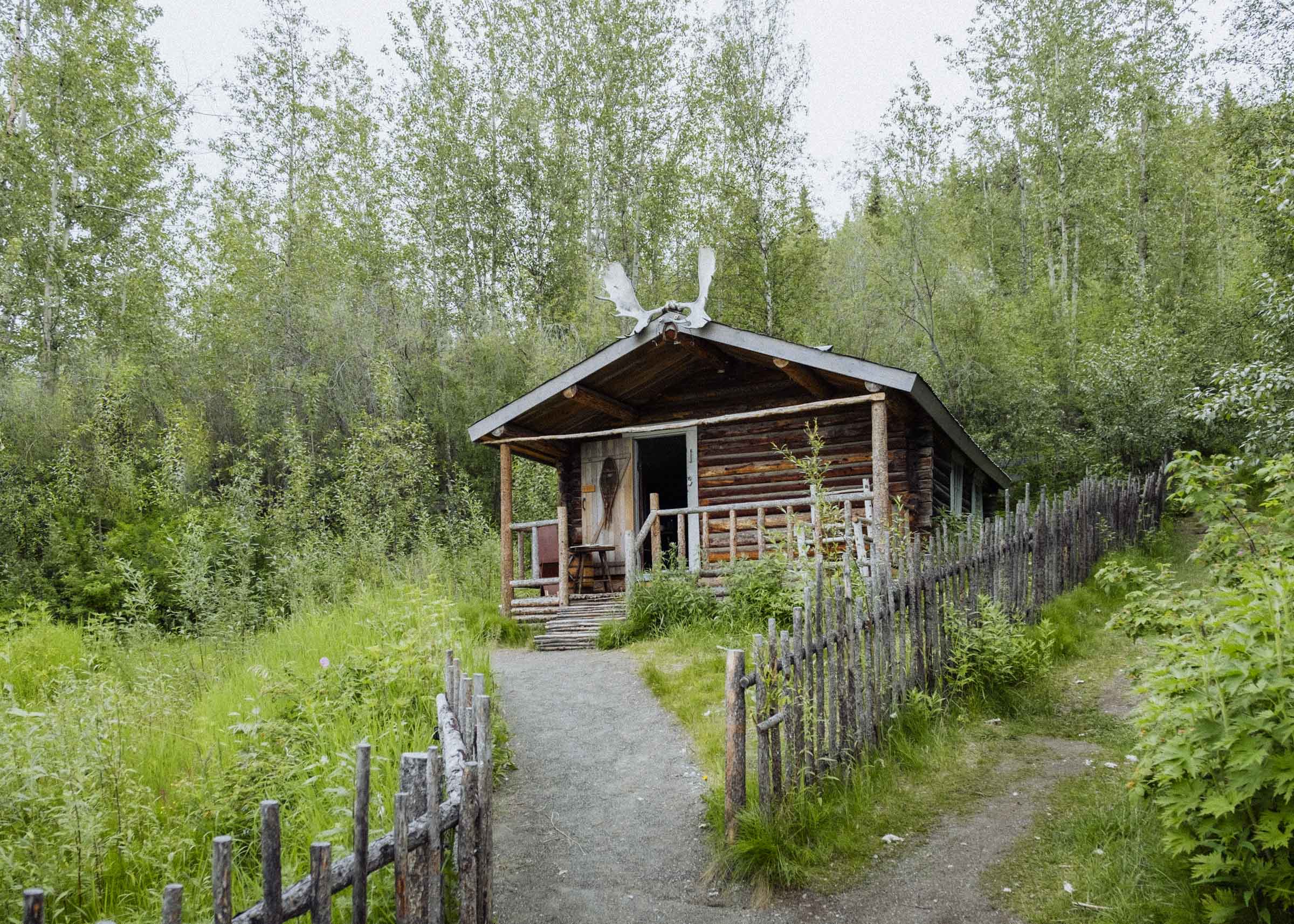
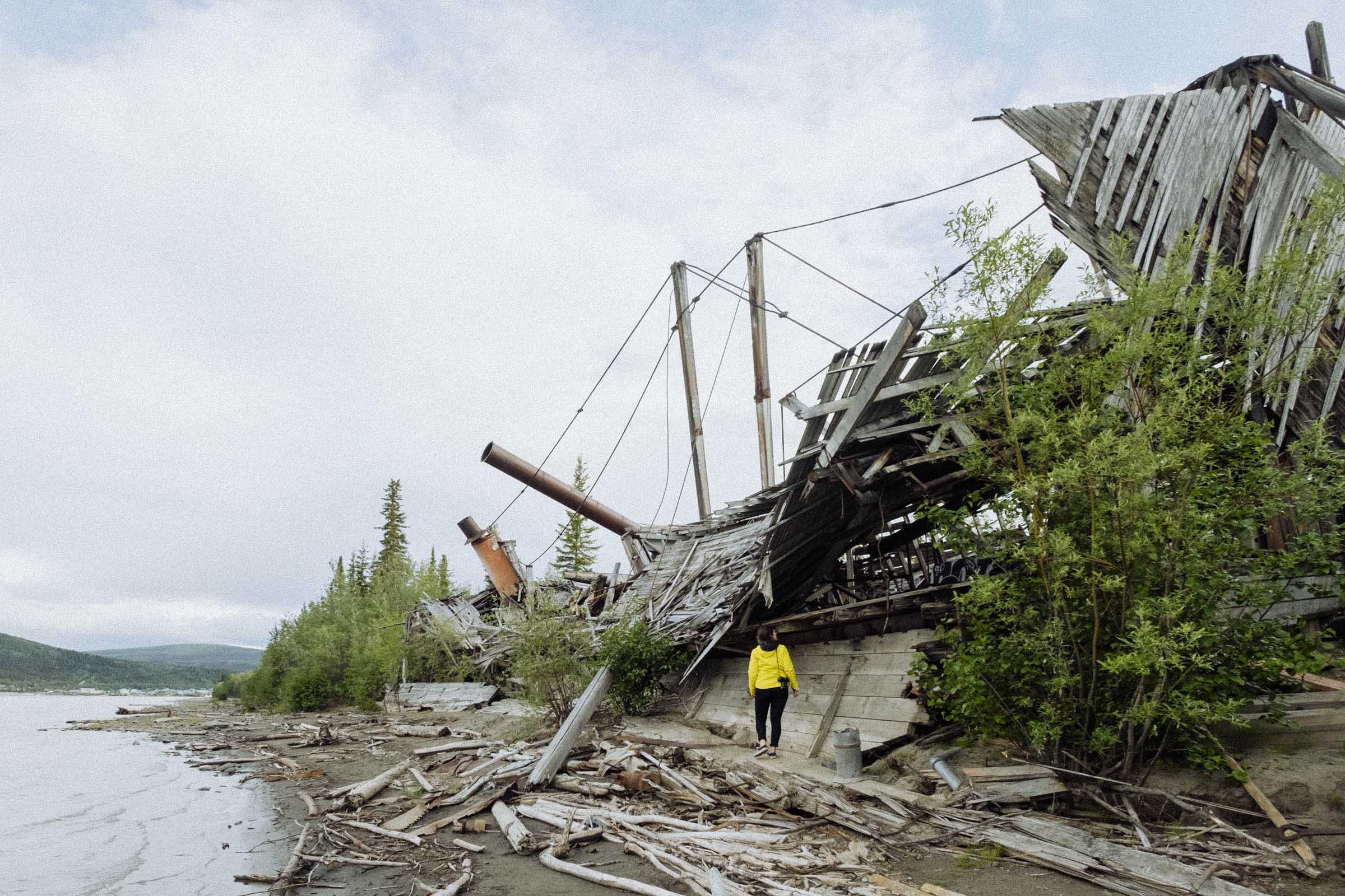
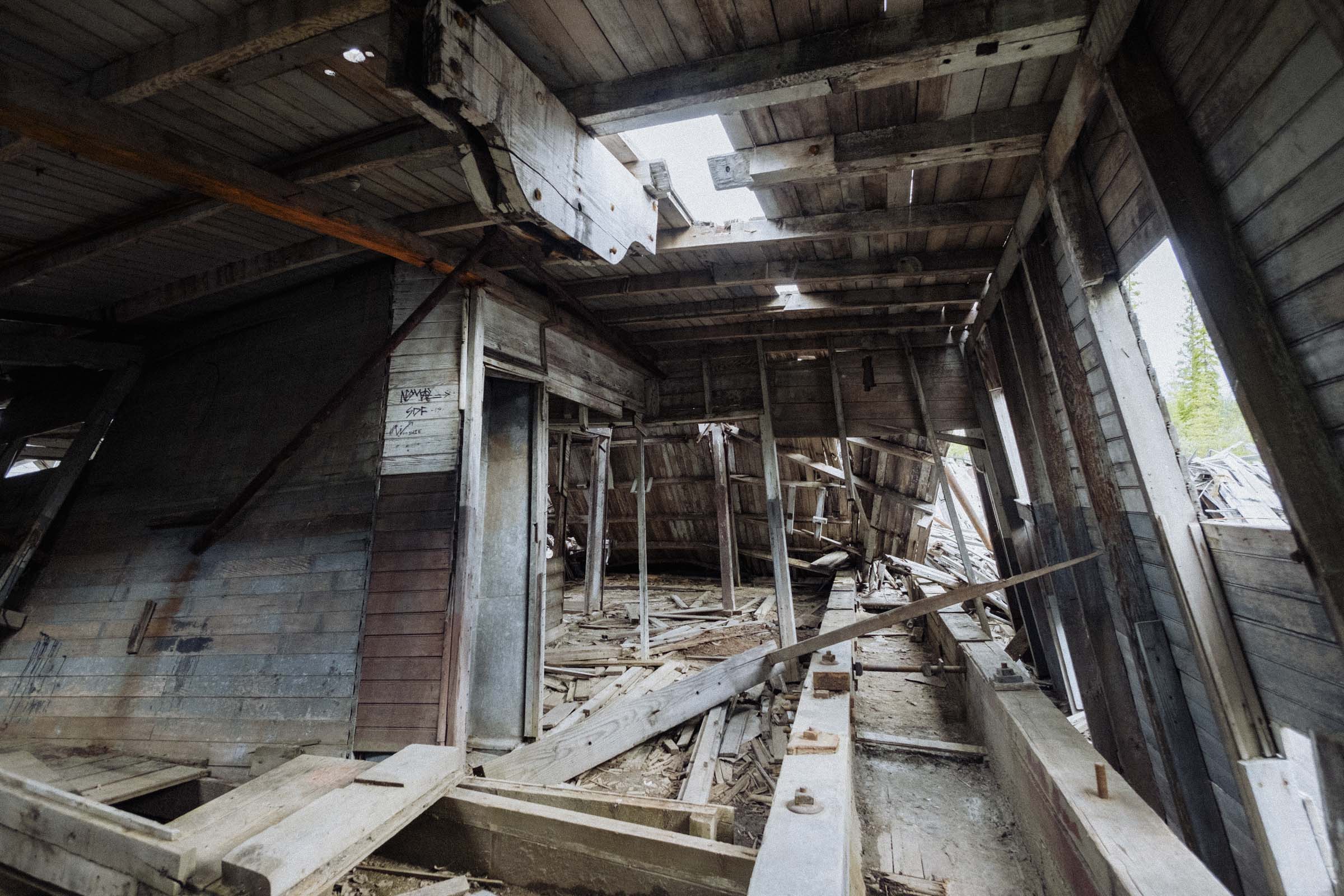
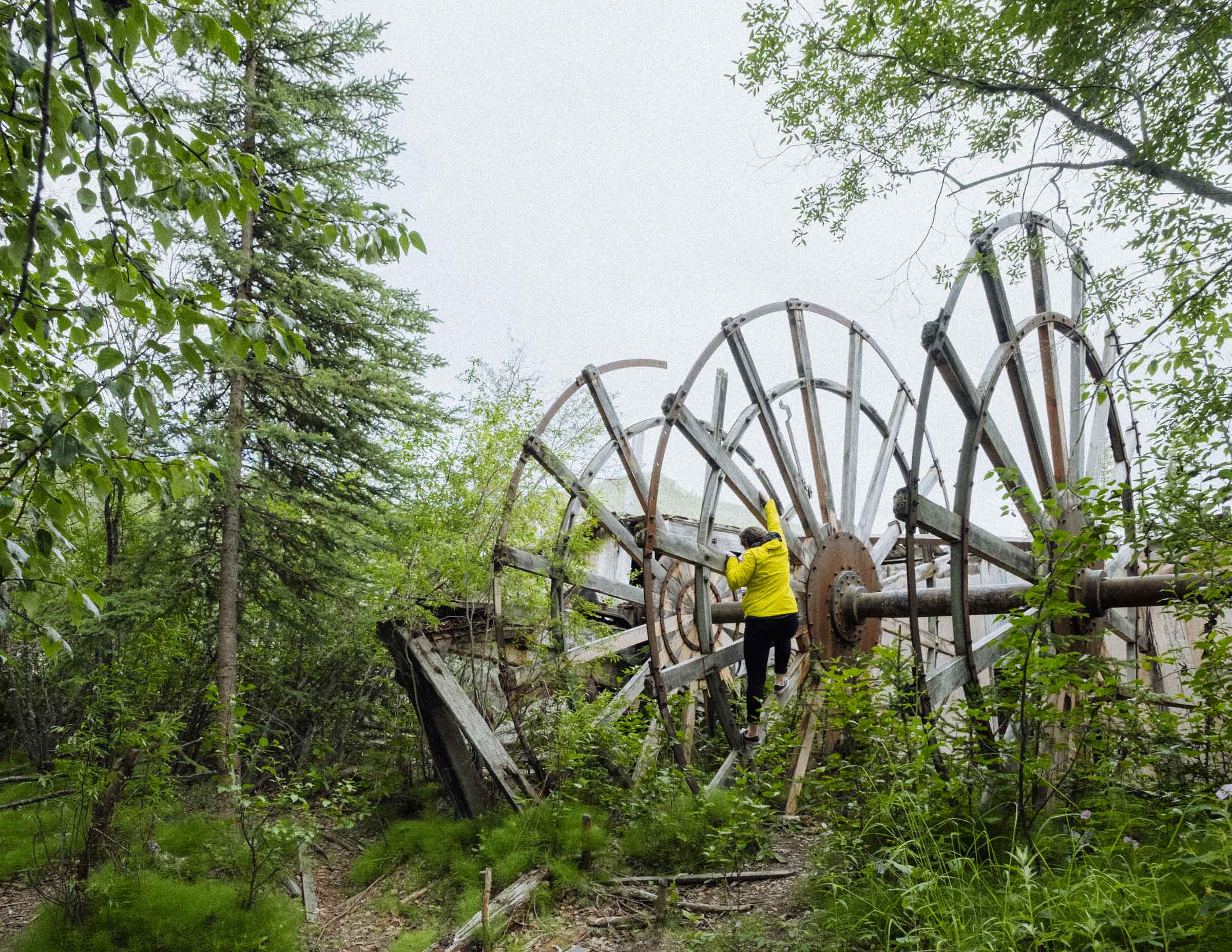
Many of the original buildings remain. Due to being constructed on permafrost, some of their foundations have shifted a bit over years and years of frost and thaw, making a few of the building peculiarly slanted. Stop by the poet Robert W Service's little cabin, local establishments like Klondike Kate's or Diamond Tooth Gertie's, and head up to the Midnight Dome where countless miners once gathered to witness the midnight sun for their first time. For a more under-the-radar attraction grab the ferry across the river to see the Paddlewheel Graveyard, where the skeletal remains of several stately old steamwheelers sit crumbling into the ground, though you can also see a more lovingly restored paddlewheeler right in town at the SS Keno National Historic Site.
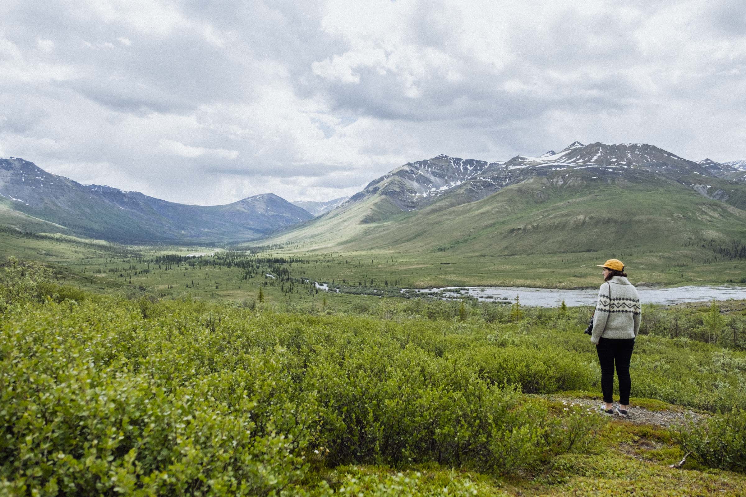
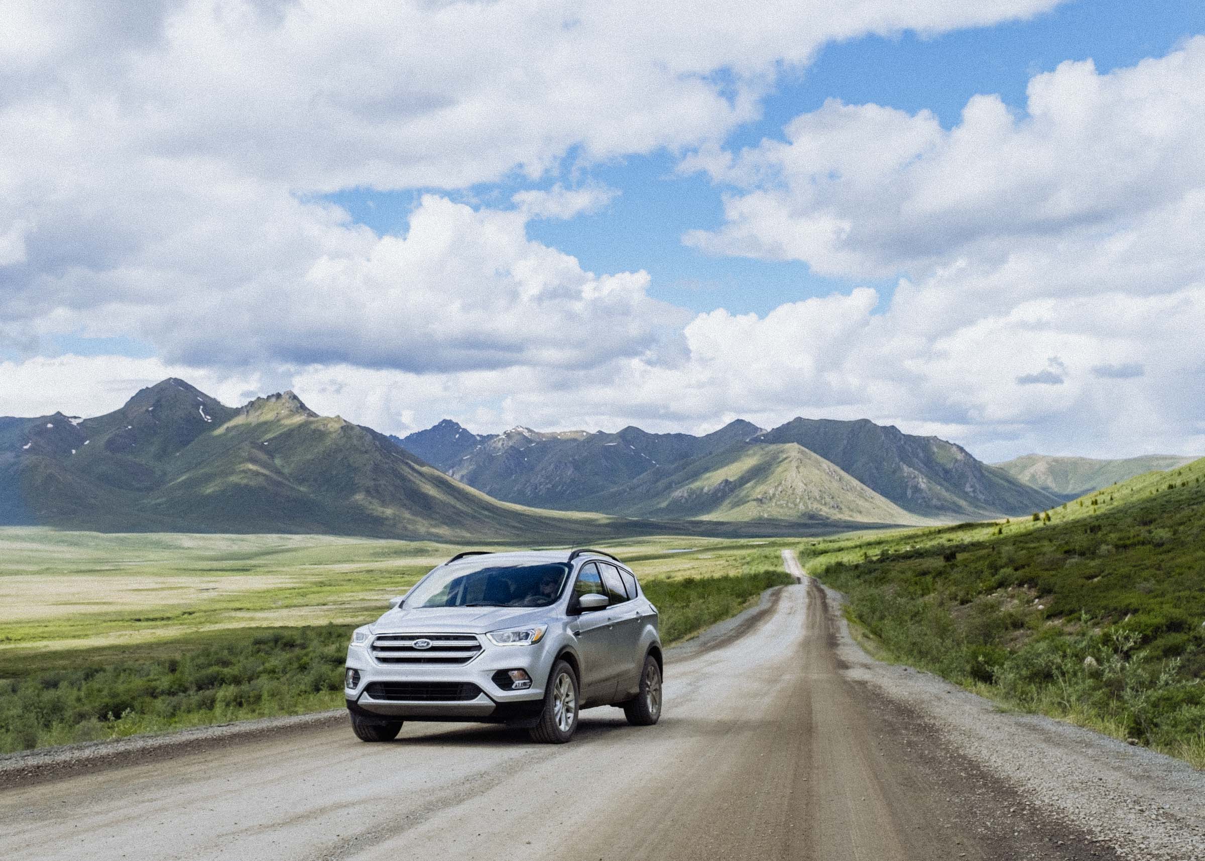
Sidetrip: Dempster Hwy
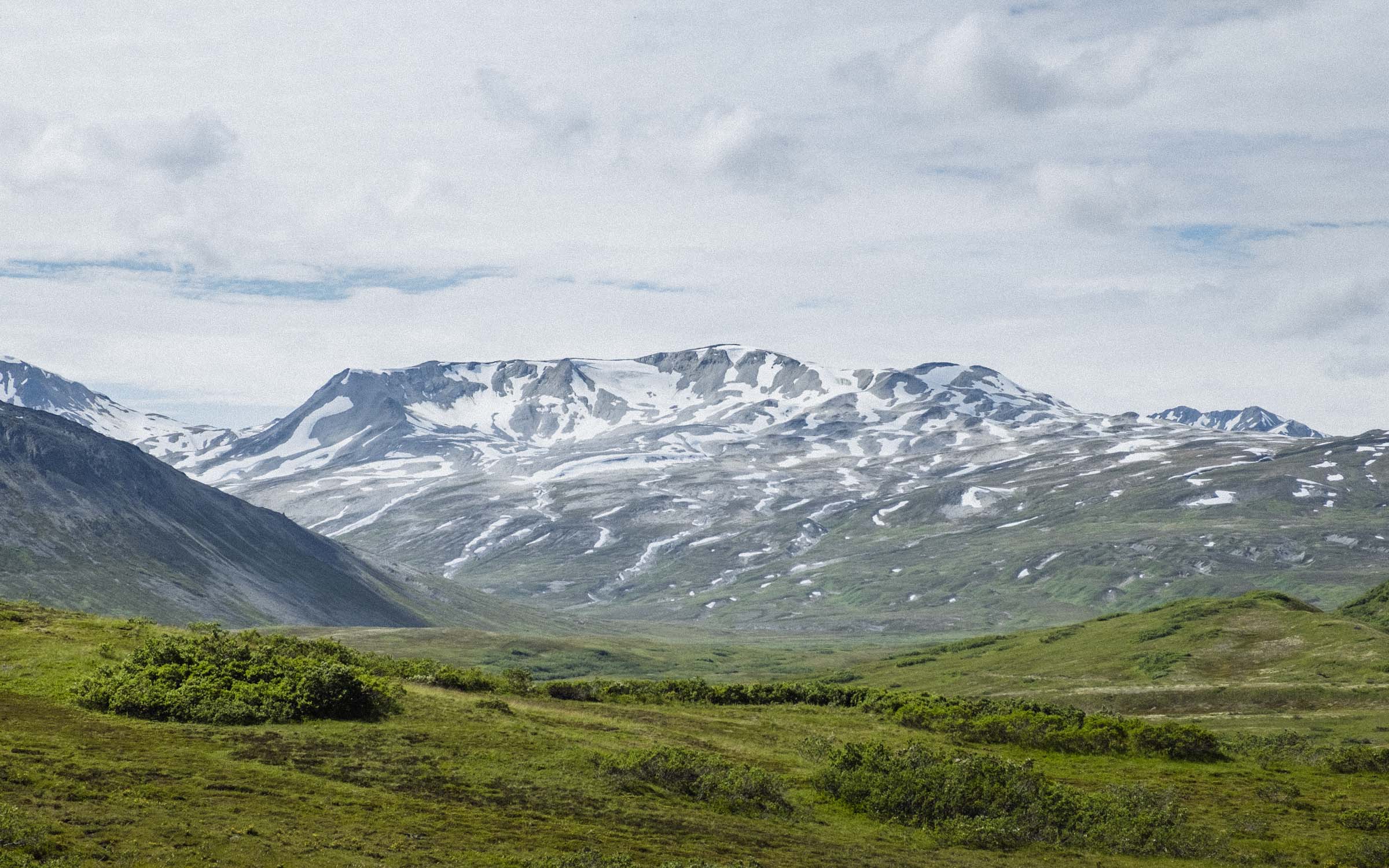
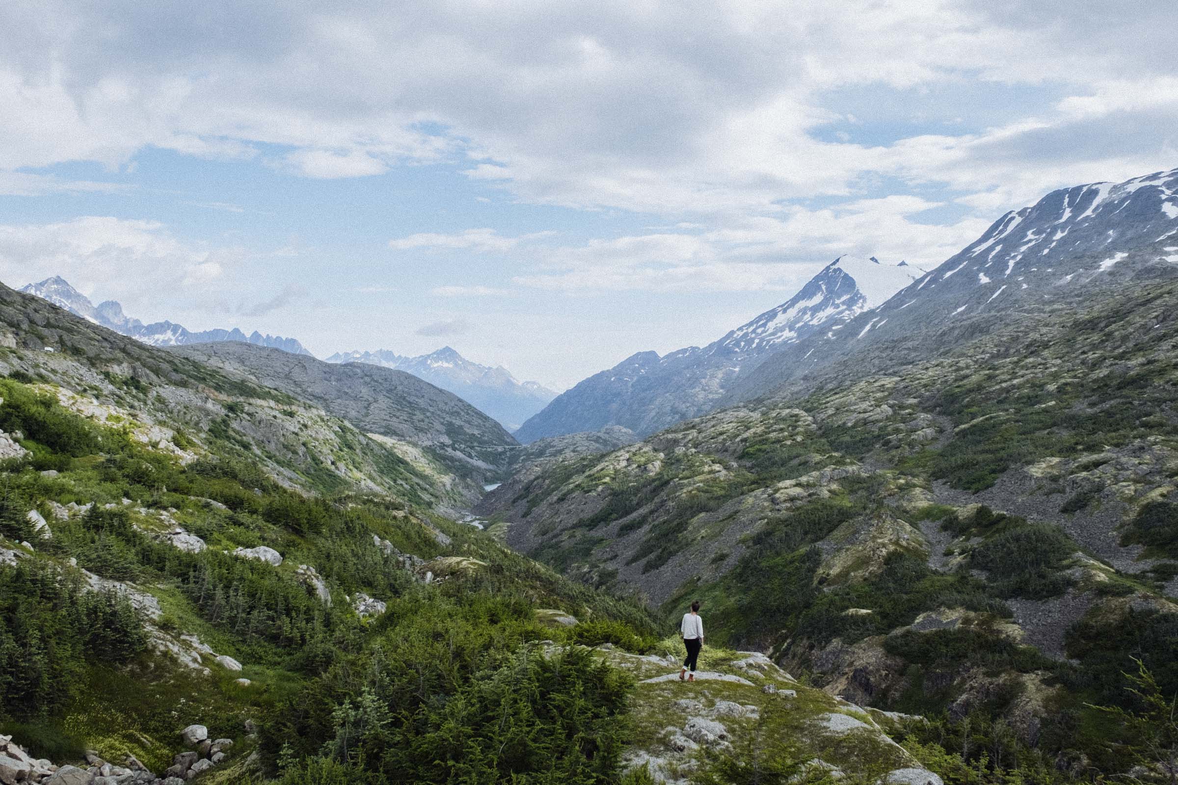
About 40km east of Dawson you might have noticed a turn-off towards the Dempster Highway. Roughly following an old dog-sled route, the Dempster is Canada's only all-weather road to the Arctic Ocean and a worthy adventure in itself. The 736km-long (460 mile) road crosses through magnificent Tombstone Territorial Park, endless stretches of tundra, and uses a combination of summer ferries and winter ice roads to cross the mighty Peel and Mackenzie Rivers. In 2017 the roadwas extended from Inuvik to Tuktoyaktuk in the Northwest Territories.