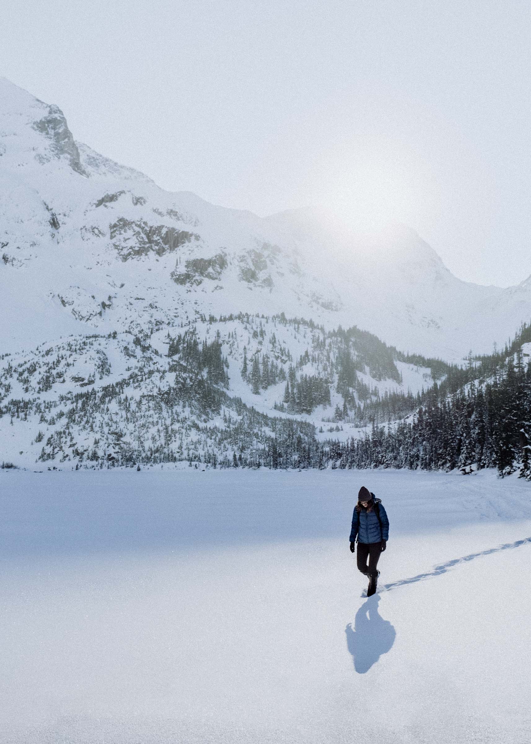
Silver Skagit
Early spring in BC's Skagit Valley and Silver Lake Provincial Parks
Nestled against the western flank of Manning Park is an often over-looked gem. 2.5 hrs east of Vancouver, down dirt roads through a heavily forested glacier-carved valley to the US border, you'll find picturesque mountains, motley forests on the cusp of two climatic zones, world-class fly fishing, and, for 10 months of the year, a vast mud plain of giant skeletal stumps. This is BC's Skagit Valley Provincial Park.


Like most trips, we dawdled and didn't near our destination til dusk. After filling up our gas tank at Hope the skies opened up with a dark spring rain, dampening the dusty drive in. There were only a few glimpes of mountains between the trees, but the road hugged first Silver Creek and later the Skagit River so the 60km drive was not without interest. The Skagit is a popular fishing destination from June through September, and there were many access points scattered along the way, most with makeshift roadside camps and old rock-ringed fire pits.
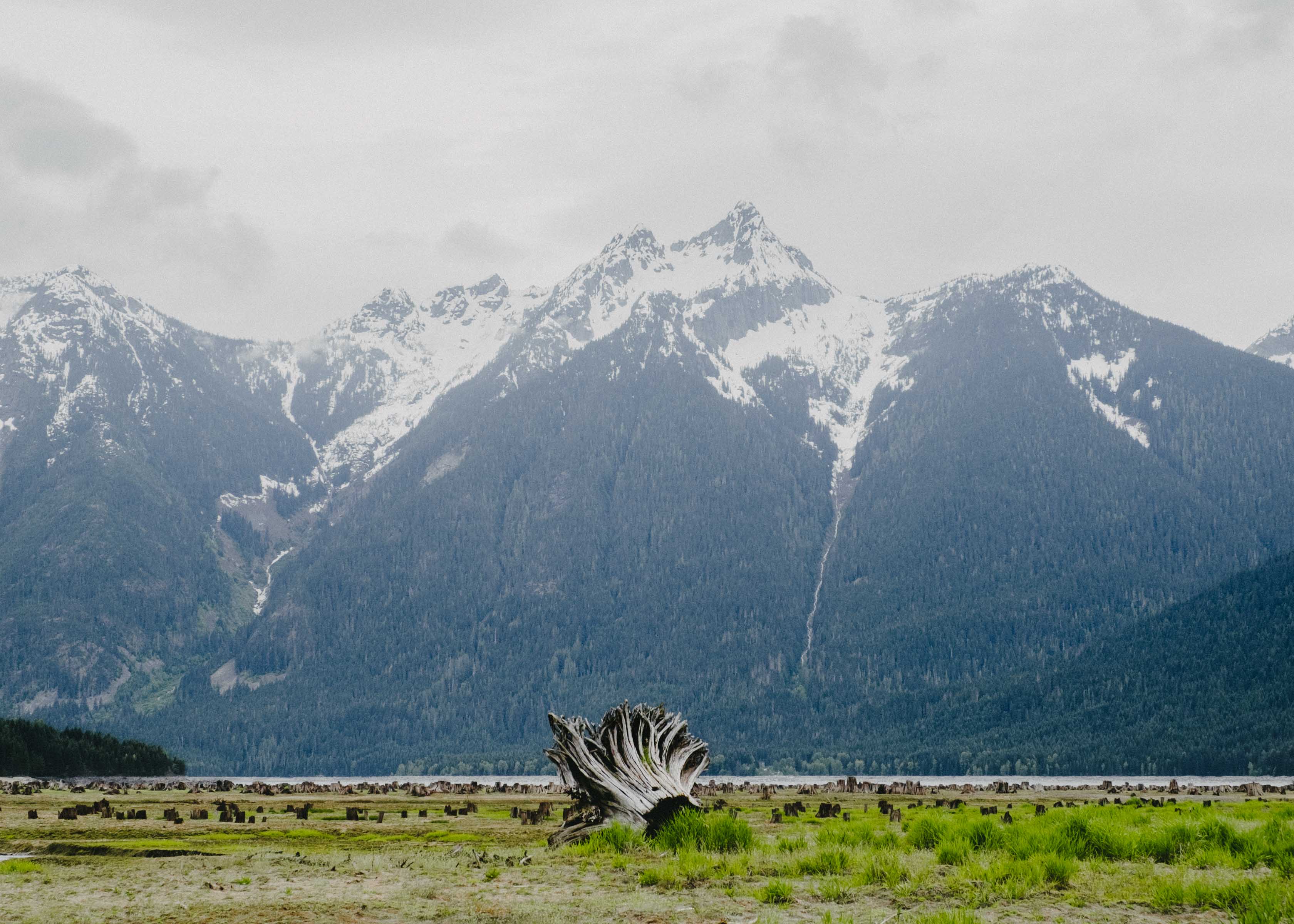
We finally reached Ross Lake in the glooming grey of early evening. We had read that the lake doesn't actually extend into Canada until July and August when they fill it for summer's recreational use, but it was still a bit of a surprise to see the log-littered mudplain stretching out before us. I've always been intrigued by the idea of seeing what treasures await at the bottom of lakes, but if Ross is any indication it's mostly what you'd expect: just mud and dry weeds and frogs. And if it's an old reservoir, probably a bungle load of old stumps. Which was, to be honest, really really neat.


The Skagit has a familiar and fascinating history. Used for thousands of years as a First Nations trading route linking the coast and the interior, in 1858 it was rebadged by the US military for the same purpose, abandoned because of the steep terrain, then briefly picked up again by miners and prospectors as a shortcut to the Ruby Creek and Fraser Canyon gold fields. It had a gold boom of its own in 1910, found fraudulent the following year, and had a few homesteads here and there — but the rough landscape and wild isolation meant that permanent residence rarely lasted long.
And then the quiet valley's fate took a turn. Seattle City Light began damming up the river to produce electricity for the
burgeoning city, and in 1937 began construction of the mighty Ross Dam. The first two phases of construction were barely started when the US entered WWII and Seattle's war-effort manufacturing sector ballooned — and along with it, a need for more power. Plans to increase the height of Ross Dam were drawn up and by 1954 the upper reaches of the valley were submerged all the way to the border.
Logging companies made quick work on the valley bottoms as water levels slowly rose, harvesting some 90% of the trees in the basin, or about 300 million board feet of timber. The countless skeletal stumps that you see from September–June are just a bare hint of the untold number of stumps still below the water line.
But it was, in part, this very logging that eventually led to the upper valley's conservation. The stepped-concrete construction of the Ross Dam was designed to accomodate an additional 125ft in height, which if completed would have pushed the lake a full 3 miles further into Canada and flooded an additional 5,000 acres of BC wildland. After four decades of planning and negotiations it seemed about to proceed when they called Curley Chittenden, the logger who cleared the previous land, back in to begin surveying the soon-to-be-flooded tracts. But after finding massive ponderosa pine stands in the low-lying meadows — trees never before seen this far west — he refused to continue and joined the nascent environmental movement in an effort to conserve the remainder of the Skagit waterway. By the mid 1970s the tides began to turn against raising the dam, and in 1997 the upper basin was protected as a provincial park.
Or so we read the next morning on some interpretive boards in the day-use parking lot.

We wandered out onto the floodplain and saw the great deforested line of the Canada-US border slashing up the mountains on both sides. On the lake, though, the boundary remains is unmarked. I hadn't brought my passport so didn't think we'd be able to cross, but without easy access from the south it seems no one really cares, and even if they did they weren't around to say so. We wandered across into the US, hopping on stumps and catching frogs and following the little cut of creek through the mud.


After returning into Canada, we decided to take the park road back into the US to check out the Hozomeen campground and ranger station. Both the road and trail are in the forest, so here the border was more apparent. Pretty neat to think of this unguarded 20ft-wide deforested swath heading out, almost unbroken and mostly straight, some 8,800km (5,500 miles) across the continent. What a lot of work that must have been!


One of the highlights of the park (along with the Skyline Trail into Manning Park which we didn't visit due to lingering snow) is the Chittenden Meadow where you'll find the ponderosa pines.
On the border between the wetter warmer pacific climate and the drier interior, the Upper Skagit is pretty interesting. In different regions you find the ferns, amabilis firs, and broadleaf maples indicative of coastal forests, but in other sections you find the dry pine forests of the interior. There are rhododendron groves and indian paintbrush, and wild strawberries and huckleberries. And of course the massive ponderosa, dominating the open meadows and testing their limits this far west.


Settling back into camp, we built a little fire, roasted some marshmallows, and read our books under the curious watch of some foraging neighbours.
We had seen a big black bear the previous night, and being the only ones in the campground thought it might be good to just sleep in the car rather than worry about the marshmallow stink on our hands and faces. At 6am we woke to a weird sound. A sort of thump thump thumping against the window. Tired and bleary eyed I looked out, and saw a deer licking the glass and staring in at us. It was a bit much, and it was time to go.


Skagit Provincial Park has a couple other campgrounds in addition to Ross Lake. On our drive out we visited both: one was a horse-friendly camp with little corrals and hitching posts and easy access to the horse trails up and down the valley. The other was at the base of Silver Tip mountain in the forests along the river. We hiked the historic Skagit River Trail a little ways, but while it was nice to be in the forest it wasn't quite nice enough to hike the whole 16km, so after an hour or so we retired to the Silver Tip campground for a quick lunch by the river. We had originally planned on spending the night there, but we opted to carry on and either camp rough or check out the wee tiny Silver Lake campground we had passed on the drive in.
About an hour later we pulled into Silver Lake. The skies cleared into a startlingly hot day and the views across the lake were magnificent. This is a great little spot, and the perfect place to spend a night and finish off your marshmallows in peace.