Sleeping Giant
The lakes, canyons, and tablelands of Thunder Bay
Deep booms of thunder roll across the bay. Looking up, the clear blue skies of the morning have turned into a thick soupy grey, and the lush green forest around us is growing darker by the minute. We're about 10km in on a 22km hike up the Top of the Giant trail, and despite the weather forecast and our lack of rain gear we're determined to continue on. There's a viewpoint up ahead that looks out over steep scrabbly rocks to sweeping views of Thunder Bay and Lake Superior, and we must be getting close by now...
We're here on the slopes the Sleeping Giant with Ontario Parks & Ontario Travel in the lead up to Healthy Parks, Healthy People, a global movement to increase awareness about the importance of nature and parkland to our well-being. Most people know that parks play a crucial part in helping to preserve and protect natural environments, but they're also vital to our health. Exploring our parks is a great chance to get some exercise, and being out in nature boosts your mood and helps relieve stress. It reconnects you to the natural world, the rhythms of the seasons and weather, seeing animals and plants in the grandeur of their home environment, and learning our place as stewards in it. Every step is an act of wide-eyed discovery, a chance to learn and to grow, and it feels more important than ever to get out and experience the awe of the wilds.

SLEEPING GIANT
Jutting out into Lake Superior on the tip of the Sibley Peninsula, Sleeping Giant Provincial Park is a formation of flat-top mountains bounded by steep cliffs that from Thunder Bay kinda looks like a big rocky giant sleeping on its back. I read somewhere that First Nations legends say the giant was turned into stone as punishment for telling white men about some nearby silver deposits. I hope nothing similar happens to people talking about this gem of a park...
We had been wanting to visit Thunder Bay and Sleeping Giant for years and years, and it was great to finally get out here. On the northwestern shores of Lake Superior, the world's largest freshwater lake and the historic site of fur trading posts that would eventually help cement the very idea of Canada, the Thunder Bay region has some pretty dramatic geology. Near an ancient rift valley known as the midcontinental rift, the landscape was flooded with waves of magma up to 35km thick, scoured by vast glaciers, then eventually eroded into steep-sided mesas and canyons not unlike those of the American Southwest... only covered in thick boreal forest and called the tablelands (mesa means table in Spanish).
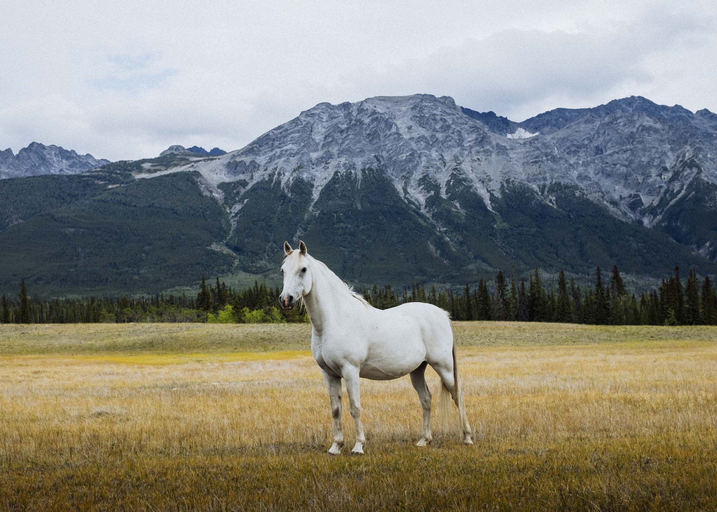
We pulled into the Marie Louise campground, a beautiful sprawling campground nestled on the southern shores of Marie Louise Lake. Children ran by with fishing rods, and there seemed to be an endless parade of happy kids on bicycles going round and round the road. Deer grazed on the grasses fringing the tent sites, and we saw a red fox lingering at the edges. After setting up camp, we made our way to the Thunder Bay Lookout for sunset. Accessible by car, the lookout is a short drive from the campground up a winding red dirt road. We passed a few turn offs to lakes, and saw a couple deer and a great big black bear ambling across the road. Insects billowed out of the bushes in the soft evening light, and we walked out onto the viewing platform to take in breathtaking views of Thunder Bay and the surrounding hills and islands. Extending over the side of the cliff, the platform offers a chance to really experience the massive drop. Looking straight down, we saw thick green woods and the shimmering blue waves far far below.


We made plans to hike up to the Top of the Giant the next morning, a 22km return trip and one of several stunning trails in the park. But first: a morning paddle. Borrowing a canoe, we set out in the calm quiet of the morning. We made our way around a point, ducks scurrying before us, and pulled up to a beach where a group of kids were heading out for an early morning swim. With a handful of snacks we leaned back, gently rocking in the waves, and had a quick first breakfast. It was going to be a good day.


The first 6km of the Top of the Giant trail is an easy amble along the lakeshore following the Kabeyun Trail, a long multi-day trail around the peninsula with backcountry beach camps that we're saving for another time. It was a bright warm day and we stopped at some of the beaches, had a picnic and a brief (and brisk!) swim in Lake Superior followed by a nap, then left the Kabeyun up towards the Talus Lake trail, then branched off on the Top of the Giant Trail (don't worry, all the trails are well marked).


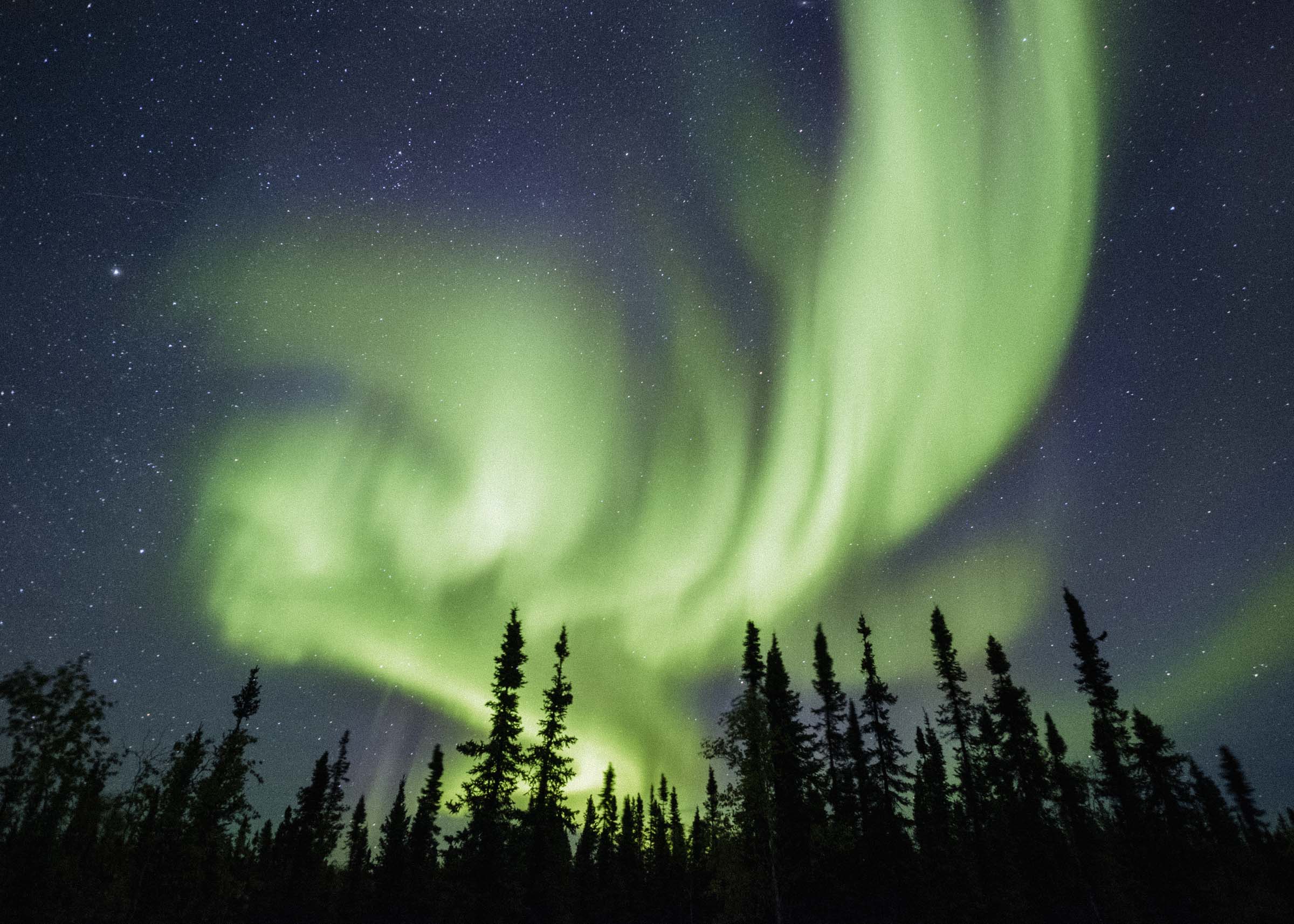
Eventually you enter a lush green valley with ferns and flowers, the cliffs towering behind. We could hear the first hints of thunder booming in the distance, rolling across the bay, and the few people we met were scurrying down before the storm hit. But we had a ways yet to go.
The trail starts climbing up and up and up and up, switchbacking up the mountain until you're at the top looking down on a little crescent lake and dazzling blue open waters of Lake Superior. After that it's just viewpoint after viewpoint, until the trail crosses to the other side of the mountain and we got a nice good view of the approaching storm and realized just how wet we were about to get.


The trail dipped down to a bare rocky area and then we realized we had made it. A giant chasm yawns across the face of the mountain, a steep sheer-sided cleft ripping into the rock. It was incredible. That time and geology could create such a landscape seem almost hard to fathom, like you're baring witness to the power and possibility of nature.
The rain started fitfully at first, a wave of sporadic sprinkles, and for a few long minutes we thought we might escape the worst of it. But then the rain started in earnest, great booming sprays of it, a refreshing drench of a storm and we had a good 11km hike back to the trailhead. Puddles ballooned on the trail, and the already vibrant greens of the park became saturated with colour. It was really nice for the first half, thrilled by the thunder and buoyed by the feel of rain on our faces. But by the halfway mark we were wishing we had skipped that lazy beach nap. We arrived back at the trailhead soaked through, pleasantly warm-bodied and exhausted, and ready for dry clothes and bed.

With the forecast predicting more rain the following day, we stuck a little closer to camp. We did a quick hike to the black sand beaches of Middlebrun Bay, toured the town of nearby Silver Islet, then returned to camp to warm up by a fire. By early evening the weather started clearing up, so we pulled the canoe back out for a little evening paddle, caught a bright orangepink sunset, then settled in for an evening of making smores on a little campfire.


OUIMET CANYON
After Sleeping Giant we journeyed further east, up to Ouimet Canyon Provincial Park. The landscape here is a bit of a marvel: canyons curiously cut into the sill of the tablelands, but unlike most canyons no rivers run through it. Was it formed by ancient rivers of ice age glacier melt, or by fractures in the rock? Either way the gash is so deep and so narrow that sunlight rarely reaches valley floor, plunging it into an arctic environment. Bare tundra shrubs and thick mosses thrive on the canyon floor, and by the time autumn rolls around to the worlds above, summer has only just begun at the bottom. Pretty neat.
We walked the quick loop trail to two viewing areas, gazing down into the dark canyon floor.


RUBY LAKE
With the canyon being a shorter jaunt than anticipated, we decided to explore further east still, over to Ruby Lake Provincial Park. Ruby Lake is a bit more of a wilderness park than Sleeping Giant or Ouimet, with no facilities or even — as best we could tell — signs marking its existence. After driving past the unmarked turnoff, we consulted a map and backtracked to an old marble quarry road. The hike in was really nice, through what looked like on old overgrown logging road through lush paper birch forest with buttercups lining the way. We emerged from the forest at a sheer cliff, plunging millions of thousands of hundreds of feet down to the windswept lake. You could see little Nipigon in the distance, and a sprawling Lake Superior. We gazed out over the rugged Northern Ontario landscape. Such a beautiful part of the world to explore. We sat down and rested for moment, red-cheeked and rosy-eyed from our days outside, and tried to soak it all in.