The Beaten Path
Backpacking the Absaroka-Beartooth Wilderness
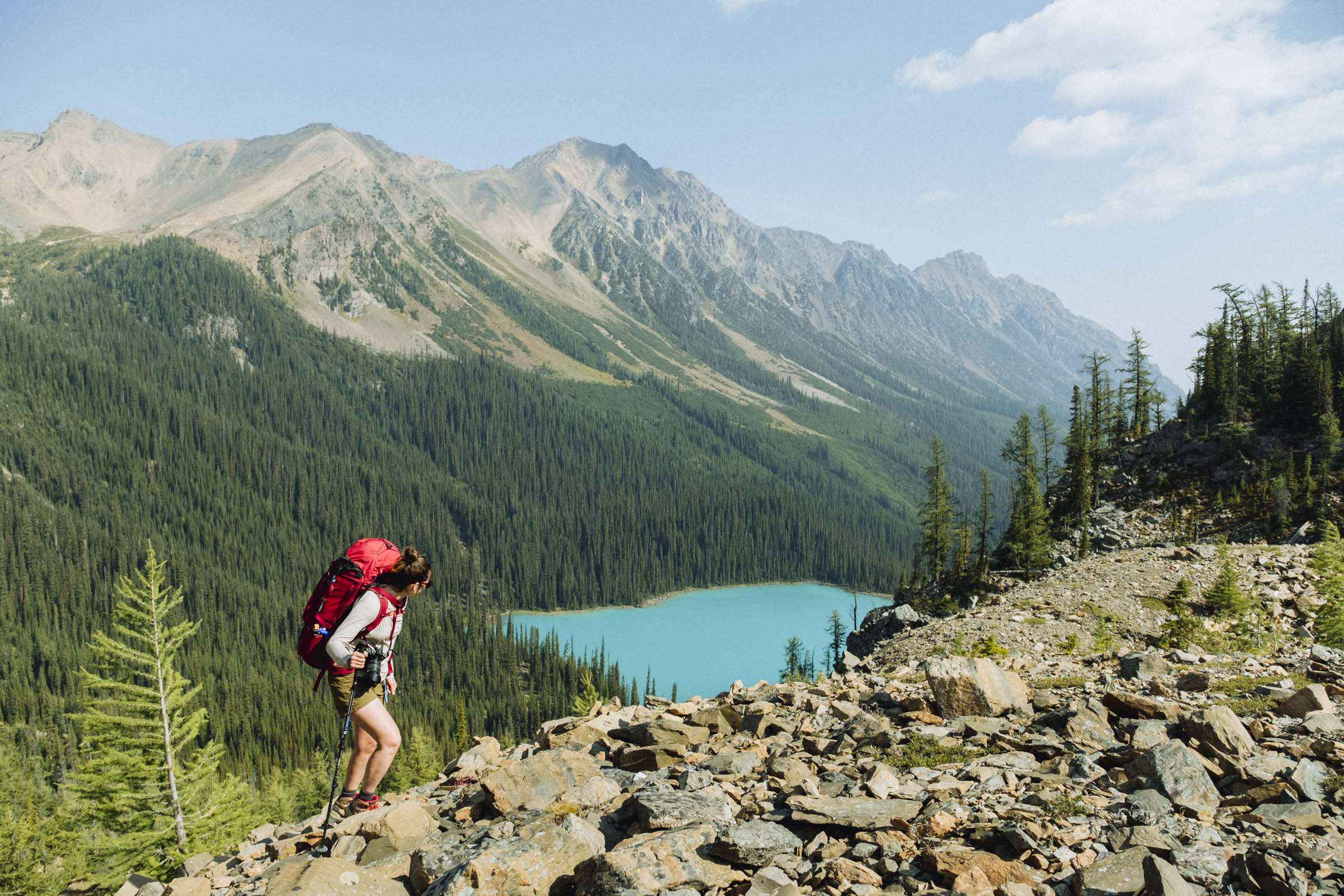
The Beaten Path is a 42km (26 mile) thru-hike in the beautiful Beartooth-Absoraka Wilderness. Capping out at 3000m (~10,000ft) elevation, the trail passes towering granite cliffs, sparkling alpine lakes, crashing cascades, and lush flower-filled meadows through some of the tallest mountains in Montana. It's a stunning and superlative hike, and since the two trailheads are several hours' drive apart, even getting there can be a bit of a logistical adventure in itself.
BEFORE YOU GO
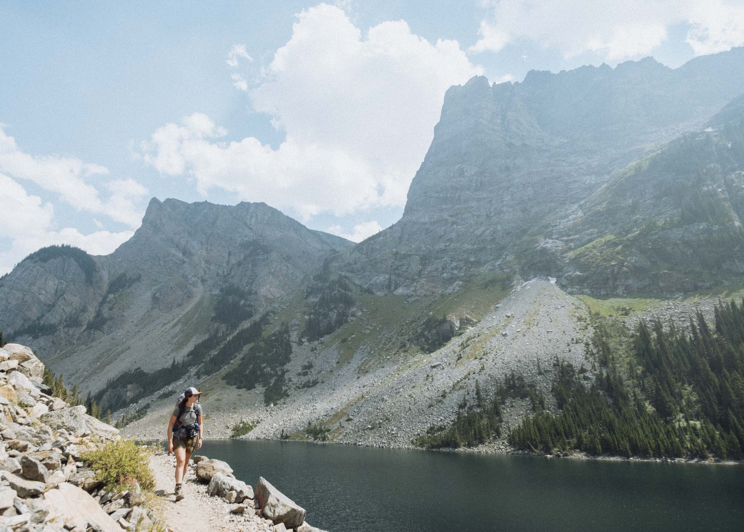
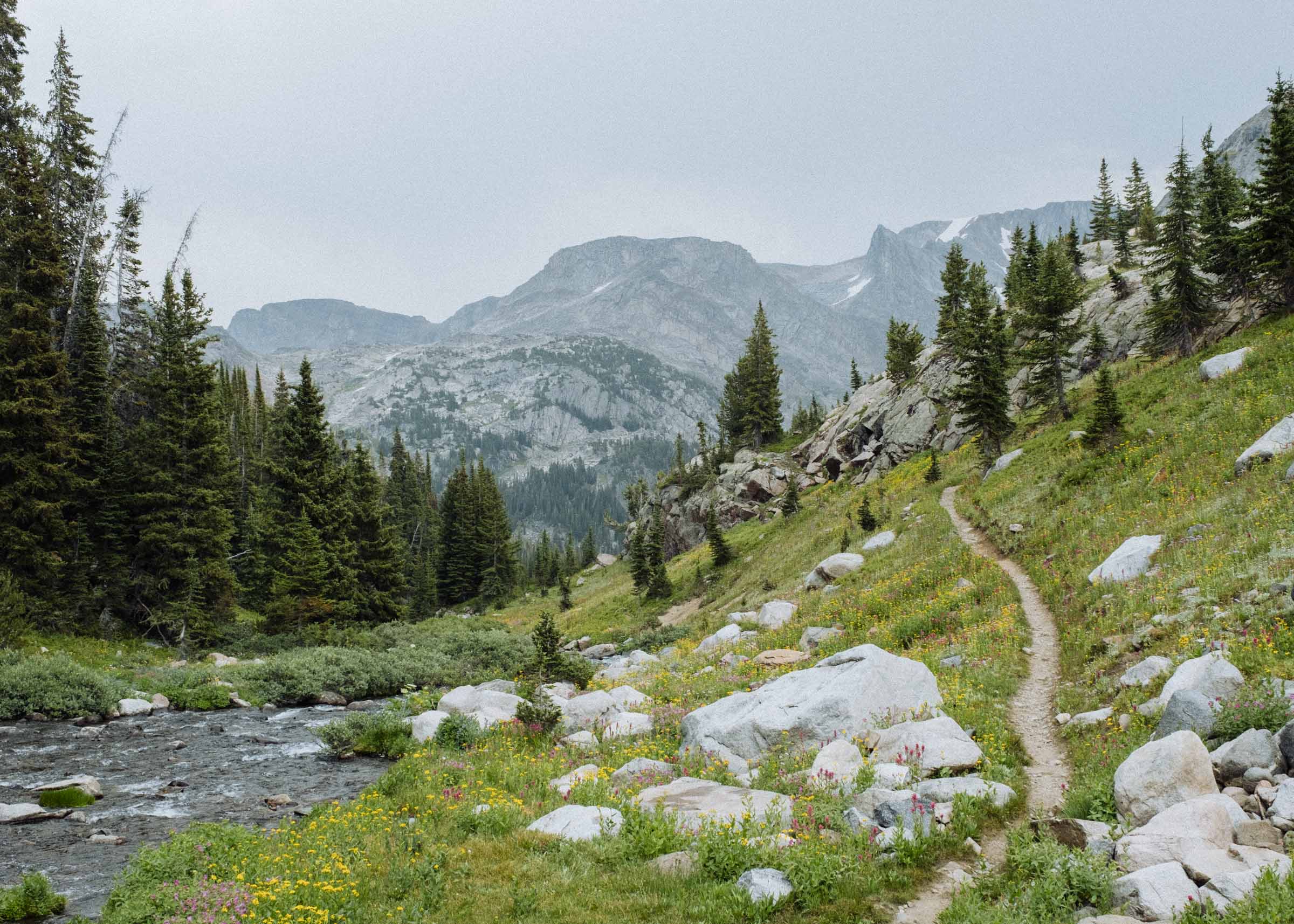

Located in southern Montana just above the eastern edge of Yellowstone National Park, the Absaroka-Beartooth Wilderness encompasses nearly a million miles of pristine backcountry. Featuring two distinct mountain ranges, you'll find craggy volcanic peaks and lush forests in the Absaroka Range and sloping granite mountains and high treeless plateaus in the Beartooths. Each area offers hikers a different experience, but for this trip you'll be solely in the Beartooths.
The Beaten Path is a shuttle hike, so if you don't want to hike the entire 26 miles and turn around and do it again you'll need two cars. Luckily we found quite a few people requesting key swaps on message boards like Alltrails and REI's The Hiking Project, and we arranged to meet a friendly family from Seattle at the East Rosebud Trailhead to drive their car over the Beartooth Hwy to the Clark Forks entrance. We'd meet halfway, swap keys again, and both be hiking back to our cars. By most accounts the trail is most scenic if you start at the East Rosebud entrance, but by starting at the Clark Forks we'd have almost 2,000ft less elevation to climb, and we'd also be saving the most scenic parts for last... so that sounded ok too.


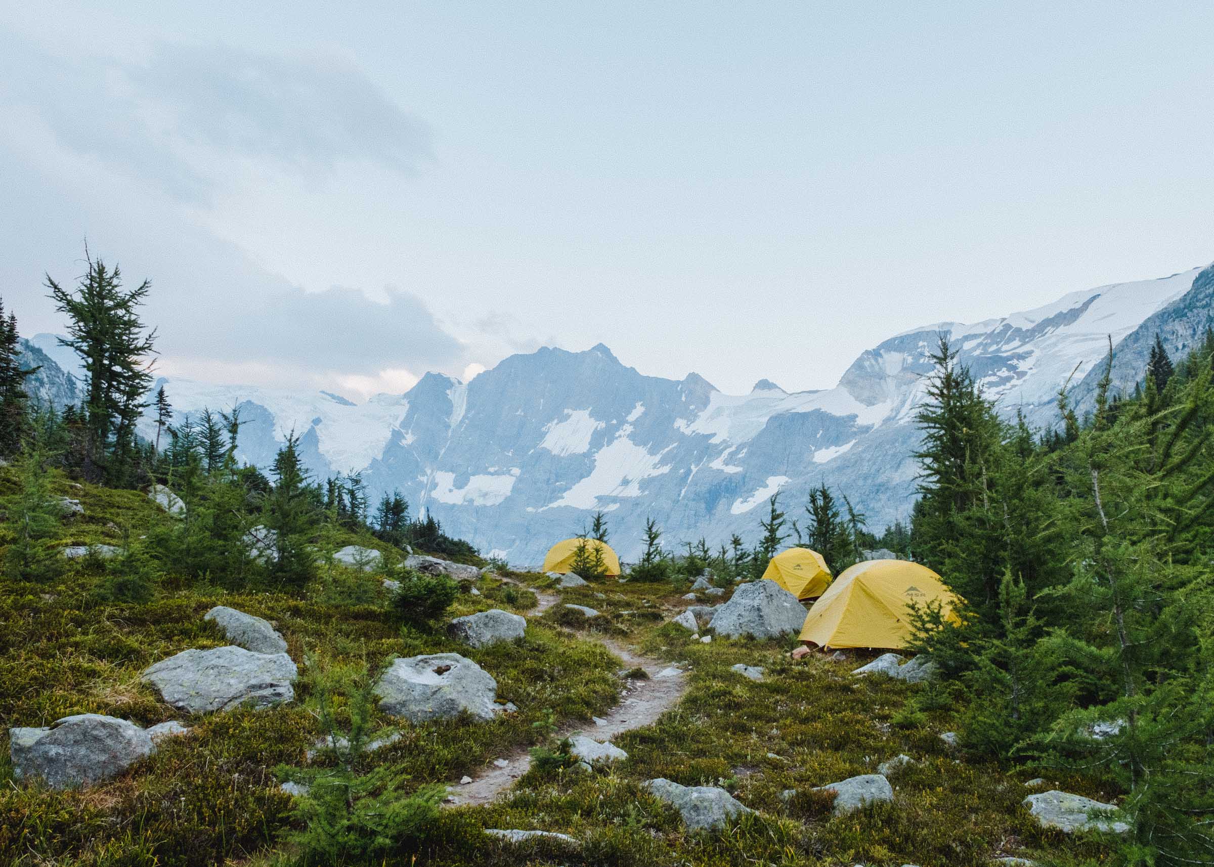
Starting from Clark Forks (near the little town of Cooke City / Silver Gate), you hike through the woods for a couple hours, slowly ascending into the mountains. There are a few unmarked intersections at this end, so you might find a map helpful. After the drive between trailheads (and sidetrips to Red Lodge and the Clay Butte Fire Lookout) we had a pretty late start and only made it to Russel Lake the first night, about 6 miles in. It's a nice enough lake but there are only a few campsites, and if you can push further there are definitely more scenic spots to pitch your tent. The lake was calm and pleasantly swimmable, however, something we cannot say about some of the higher elevation lakes. It felt really good to jump in and wash the previous 6 miles away.


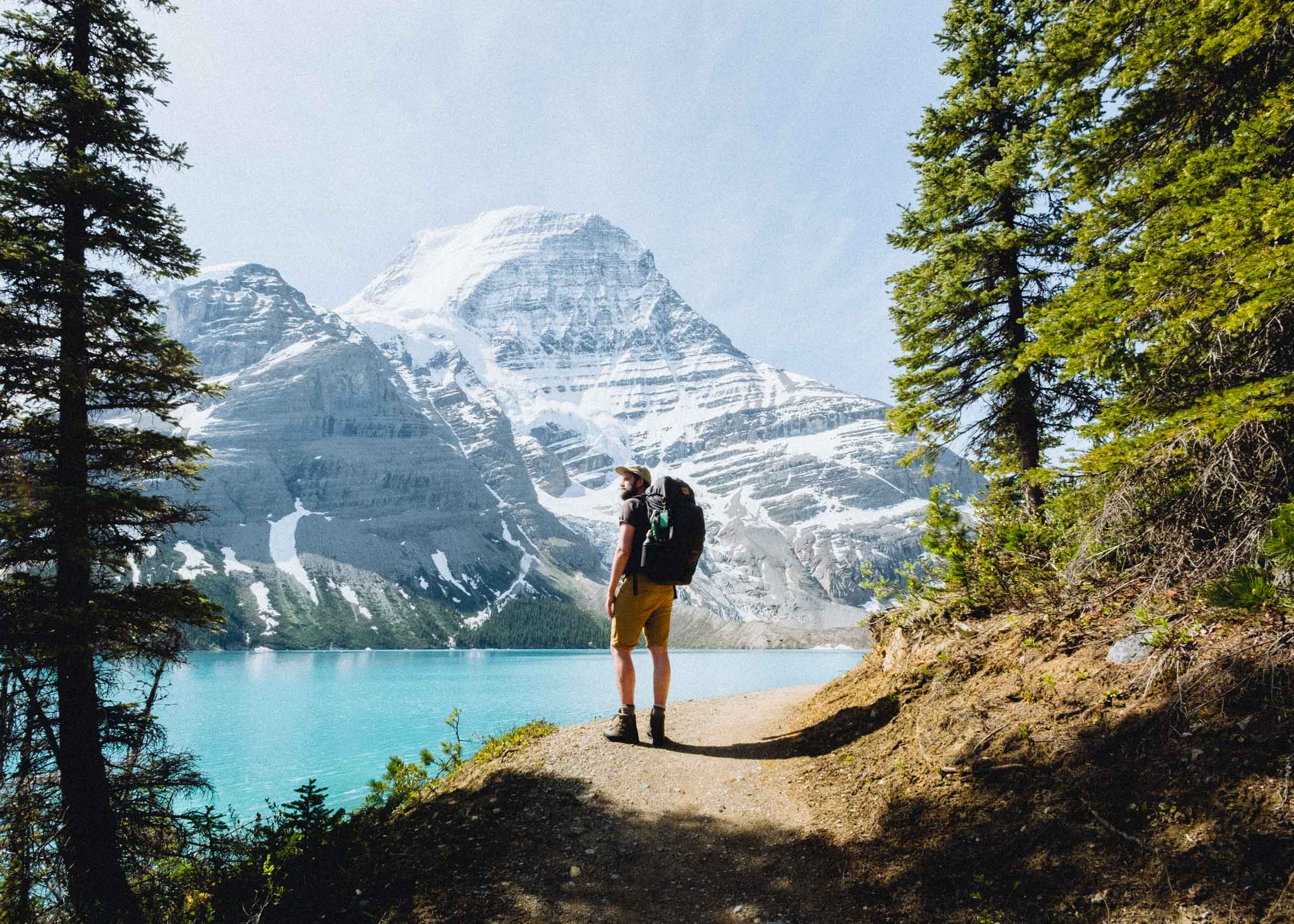
After Russel you climb to the beautiful Ouzel Lake. This is where the hike starts becoming truly spectacular, winding along a chain of quiet alpine lakes and burbling flower-fringed creeks as you slowly slowly slowly climb above the treeline and up towards the high plateau at Fossil Lake.


Fossil Lake is the highest point on the trail where you're greeted with views of vast windswept granite and lake-filled hollows. It is a harsh and almost barren landscape where pockets of snow can linger all year long. In the open treeless area routefinding is relatively easy and the views continually rewarding, we met a couple who camped up here for a week exploring the many peaks and vistas. We ate a quick lunch and climbed partway up a small rocky hill but for the most part stuck to the trail. It's an awesome and evocative landscape but we didn't find it very inviting.


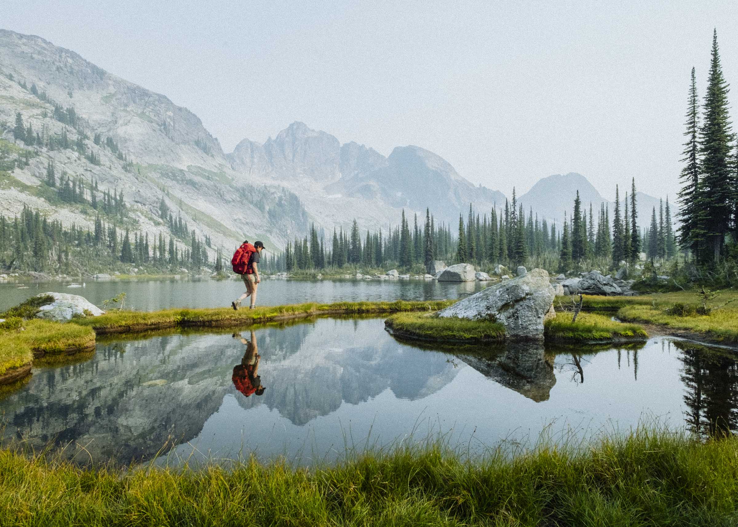
Descending off the plateau the views just get better and better. The section from Fossil down to Dewey Lake was probably our most favourite of the entire trail — following a tumbling creek through lush boulder-strewn meadows, you're treated to unending views of massive mountains, snowfields, and wildflowers. It grew progressively darker as we hiked and a brief thundershower boomed down the valley, making us glad we had ceded the high ground of the plateau.

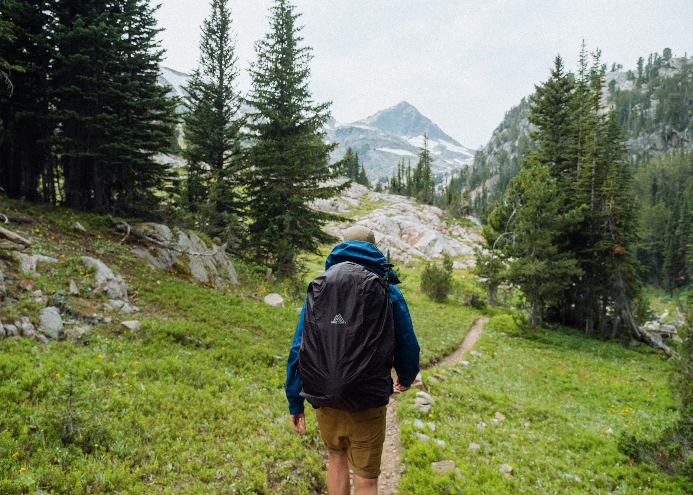


We stopped for second lunch at Dewey Lake and decided to stay the night. It's such a beautiful spot! There's great fishing in the lake, a handful of perfect campsites, and unparalleled views.


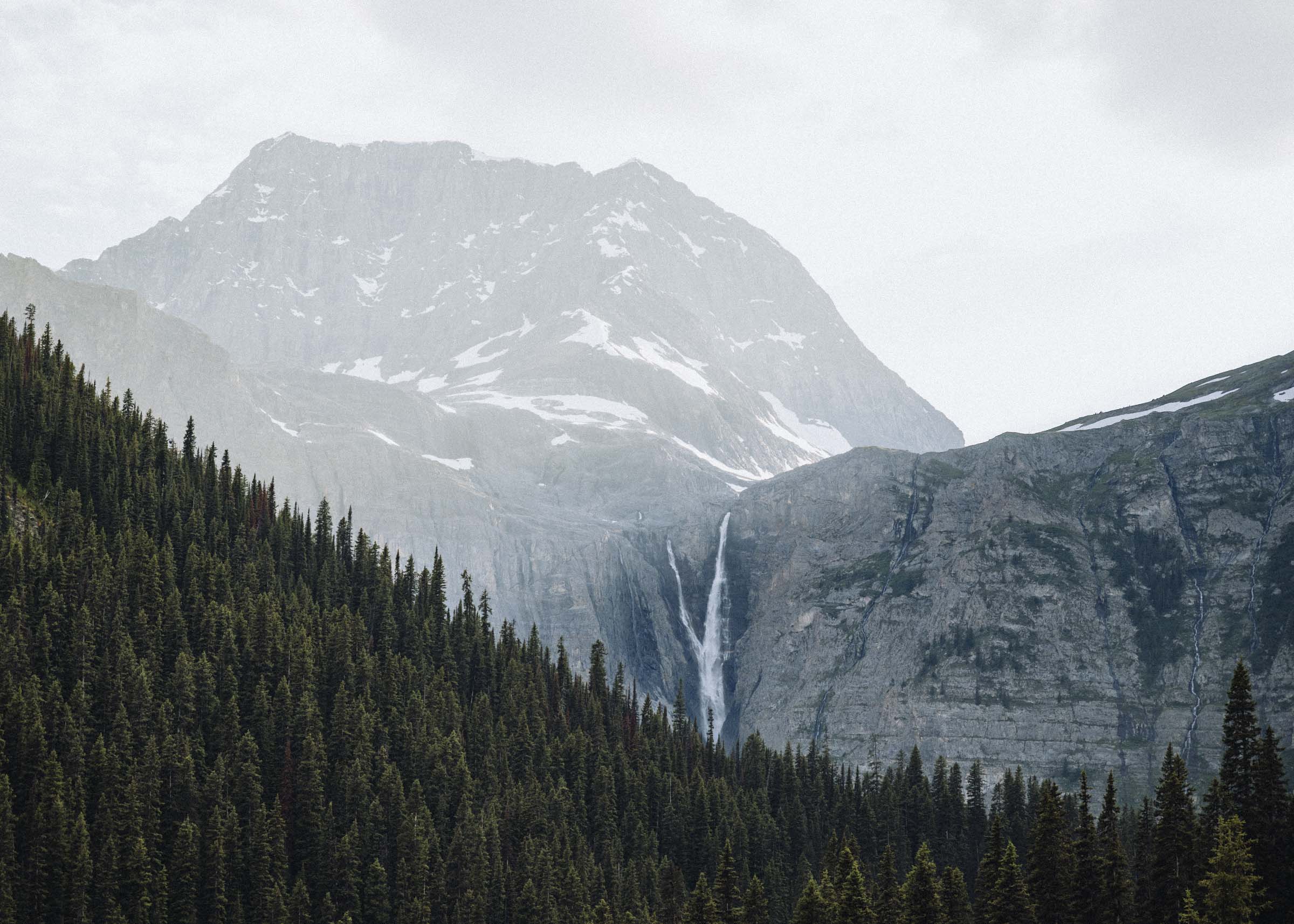
The next 8 miles are a blaze of lakes and waterfalls and delicious wild berries (raspberries, strawberries, huckleberries!) as you descend through the forests and meadows and rockslides along East Rosebud Creek. You pass Twin Outlets Lake with its neat slot canyon, the magnificent Impasse Falls where the creek drops 150ft to little Duggan Lake, then Big Park Lake, Lake at the Falls, and finally down towards Rainbow Lake. Rainbow Lake probably had the most campsites of anywhere on the trail — it's essentially a giant tree-dotted field at head of the lake — but its a popular spot so it can also be a bit busy. If you want a quieter camp keep walking.


After Rainbow Lake is Rimrock Lake, and after that is a gruelling awe-inspiring descent through a deep rock-strewn canyon with soaring granite walls. This section was incredible — and we were thankful to be heading down rather than up, and can only imagine how exhausting it would be to climb up it in the heat of midday, or how tough it must have been to carve out the trail from the sheer rock walls and massive boulder fields. You emerge from the canyon onto a vast valley ravaged by forest fires, and it was striking how much more sky we could suddenly see again.


The remainder of the hike is through scattered forests dotted with giant boulders from the craggy peaks above. The mountains on the right seem almost impossibly rugged, with rocky pillars and layers of sawtooth ridges, and a real highlight of the trail is little Elk Lake. We spotted a beaver plying the calm waters, and there's a sandy beach and some great campsites in the trees at the foot of the lake. You can gaze back over the water to see the granite wall of the Froze-to-Death Plateau. From Elk Lake it's a quick 3.5 miles to the trailhead at East Rosebud Lake.


The Beartooth Hwy
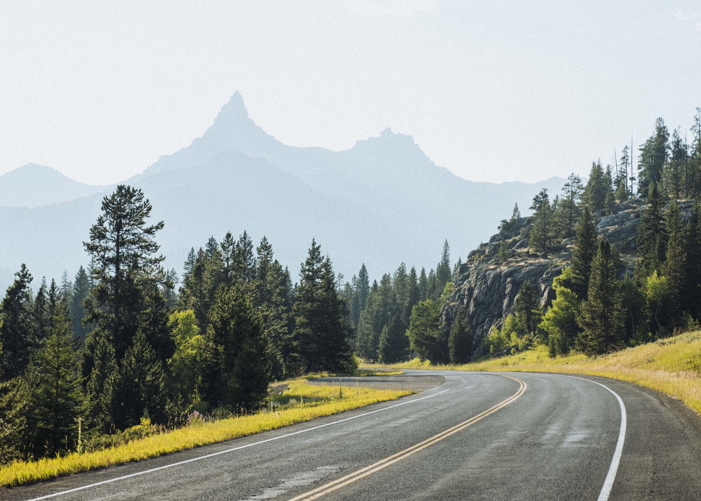
Connecting the East Rosebud and Clark Forks Trailheads is the breathtaking Beartooth Highway. Heralded as one of the most scenic drives in the US, a series of sharp hairpin turns bring you slowly up onto a high alpine plateau dotted with glacial lakes, waterfalls, wildlife, and spectacular views of the surrounding Beartooth and Absaroka Mountains.
Meandering through Wyoming into Montana, the highway connects millions of acres of wilderness including Yellowstone National Park and the Custer, Gallatin, and Shosone National Forests. At 3,337m (10,947 ft) elevation, it is generally open from late May thru mid October, but snowstorms and weather delays can occur at any time, especially in the shoulder seasons. The high altitude also means you can likely park your car and go skiing well into July. It's a jaw-dropping drive, and quite unlike anything we've seen before. We had no idea this was here when we planned our hiking trip, and our photos don't even come close to doing it justice. Check it out! And make sure to save some time for a visit to the charming little town of Red Lodge, MT.


