Alaska Highway
A hiking camping roadtrip adventure from Vancouver to the Yukon
There are trips you know you'll do, trips bright like beacons, trips so obvious and apparent that you barely even have to mark them on a list. For us, BC's Alaska Highway was always like that. It's a mythic roadtrip, one of North America's most legendary wilderness drives, and though it has been paved and tamed over the decades it remains an iconic adventure. So yeah, we knew we'd eventually explore this section of Northern British Columbia. But what we didn't know was that our visit would only spark an even deeper interest and leave us wanting more — we were barely one day into the trip when we realized we'd be coming back again and again.
But, as we're learning, that's just how it is with some trips.

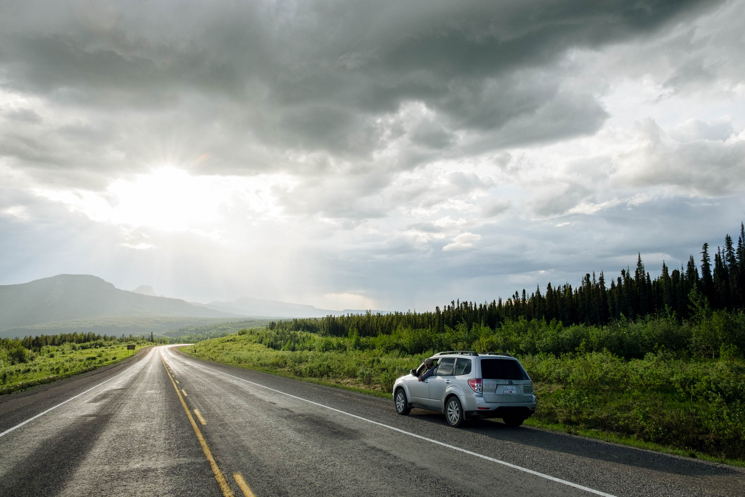
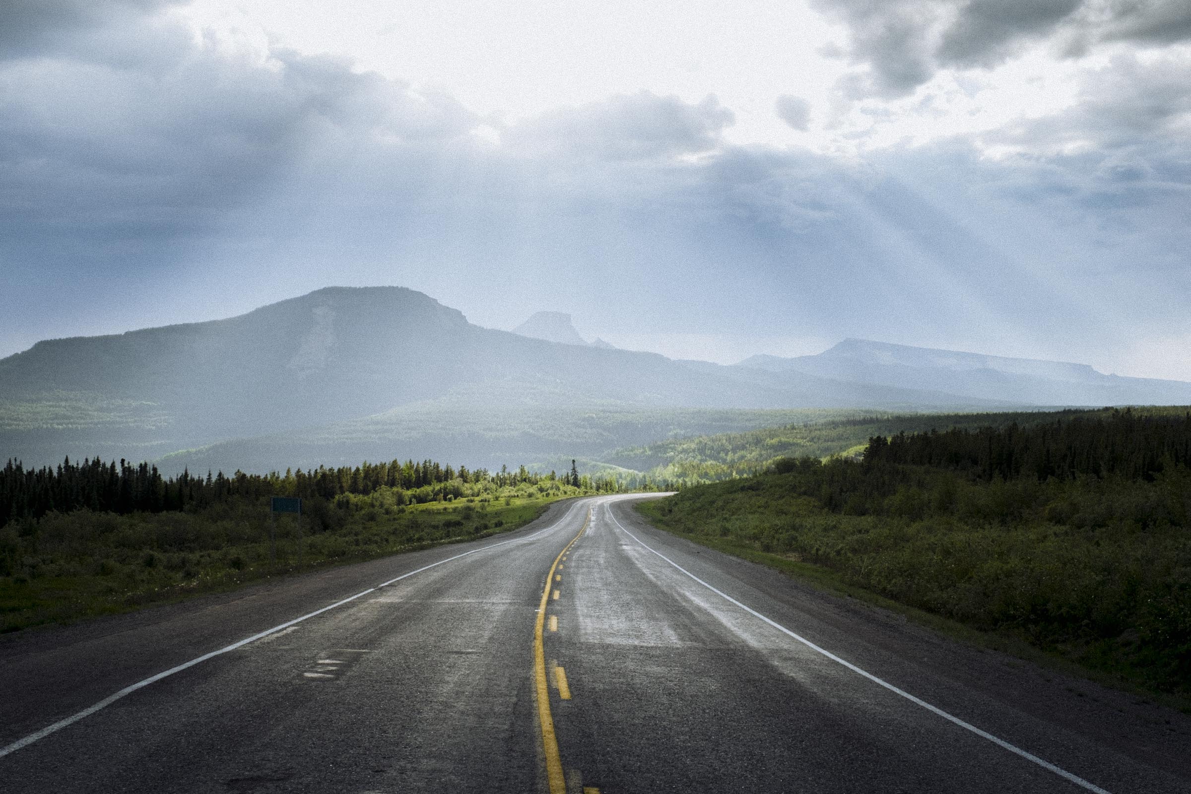
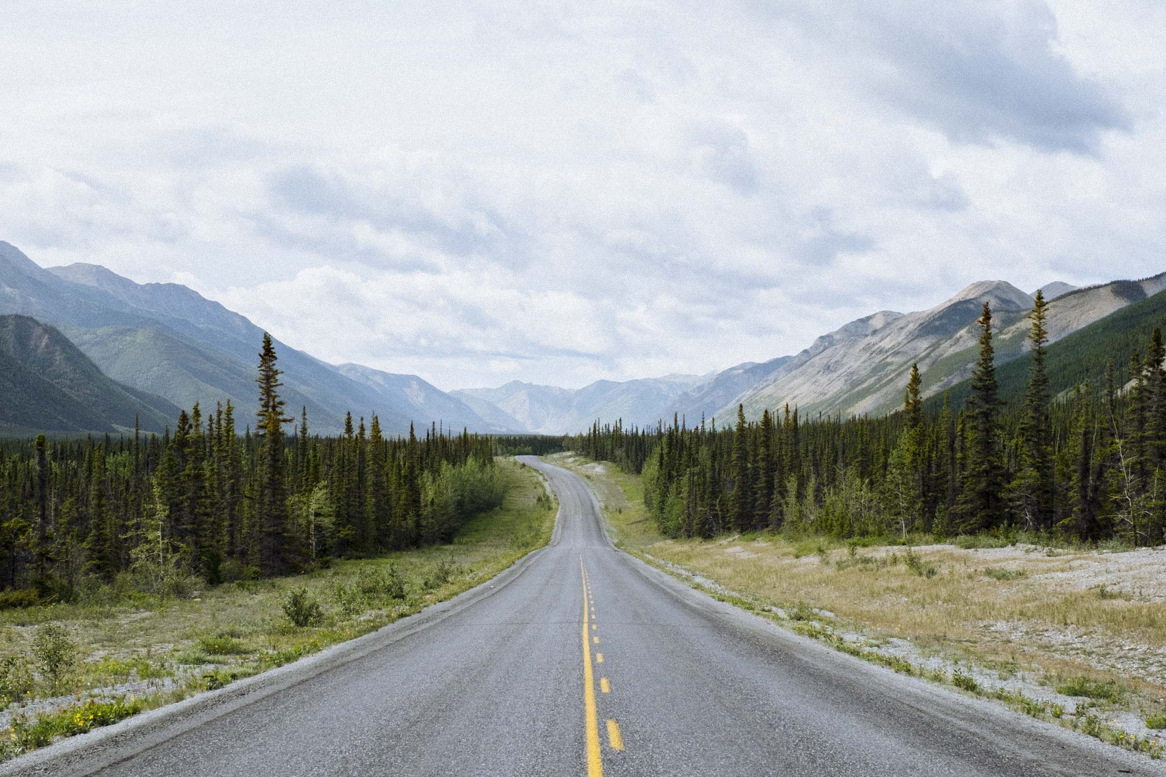
The Alaska Highway runs from Dawson Creek, BC to Delta Junction, Alaska. Built in a mad dash of effort as a US Army supply line in the war-torn summer of 1942, the road was little more than a slow muddy route for its first few years. But as the only overland road to Alaska, it quickly gained notoriety with adventurers, and people began flocking north to try it out. Originally a rough meandering 2700km (1700 miles), the highway has been continually reworked and improved to accommodate the traffic, and to date has been straightened down to a breezy 2200km, most of which is paved. But there are still few towns and scant services, and the drive is rich in scenery and wildlife viewing, the sense of remote isolation only adding to the adventure.
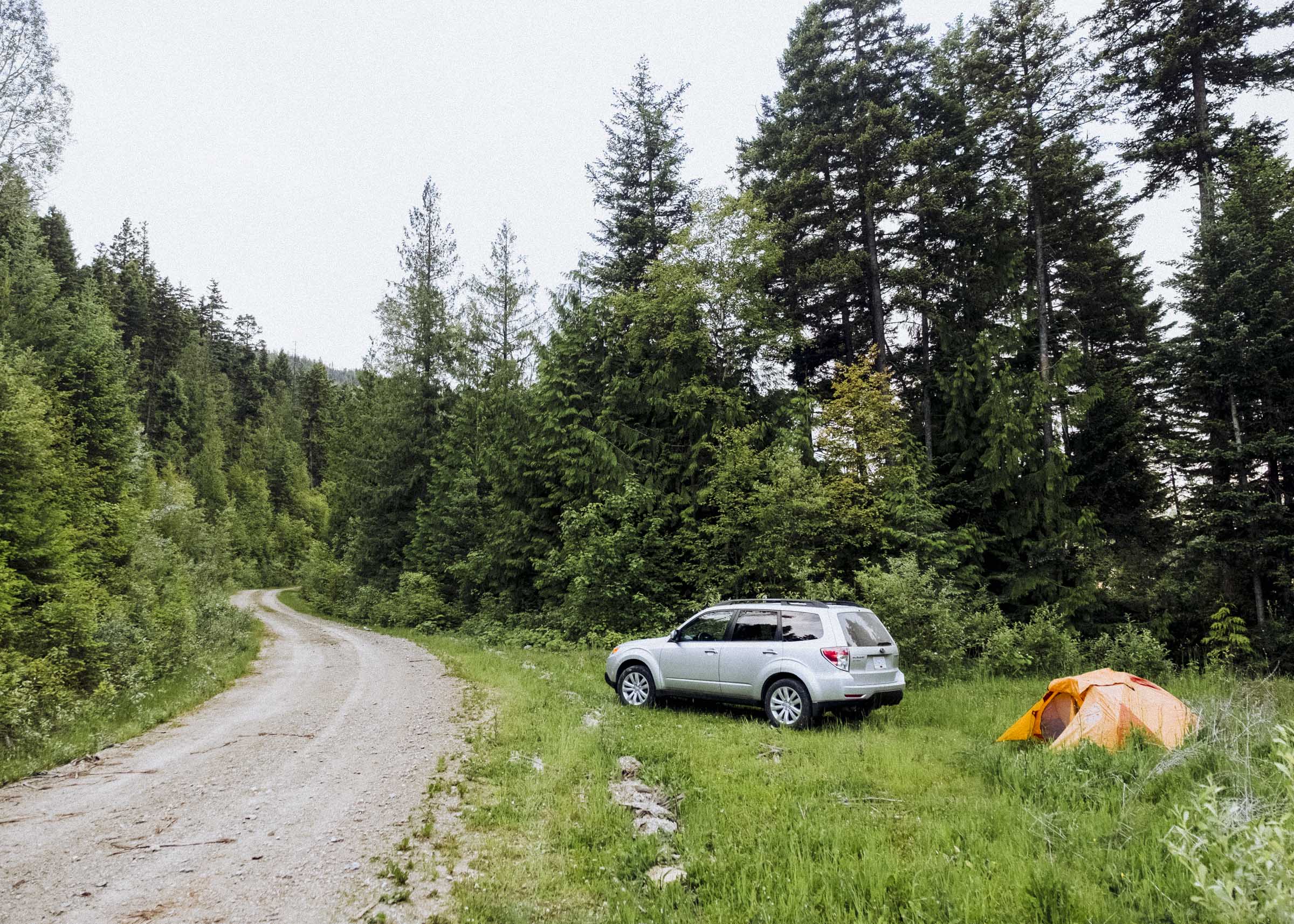
We left Vancouver in the morning and were itching to push north, but Dawson Creek is a good long way and there were a couple stops that we just couldn't resist. We pushed past the places within daytrip-distance of Vancouver, past places we wanted to explore but figured we could visit another time. We pushed past the hiking trails and granite peaks of Coquihalla, past the rolling ranchland of Merritt, past the dry scrub canyons of Kamloops. We camped on a dusty forest service road, then woke early to push through the town of Clearwater, at the quiet confluence of two coloured rivers: one a silty blue-grey, the other a darker brown-green of ancient tannins. We pushed on and on. We were headed to Wells Gray.

WELLS GRAY
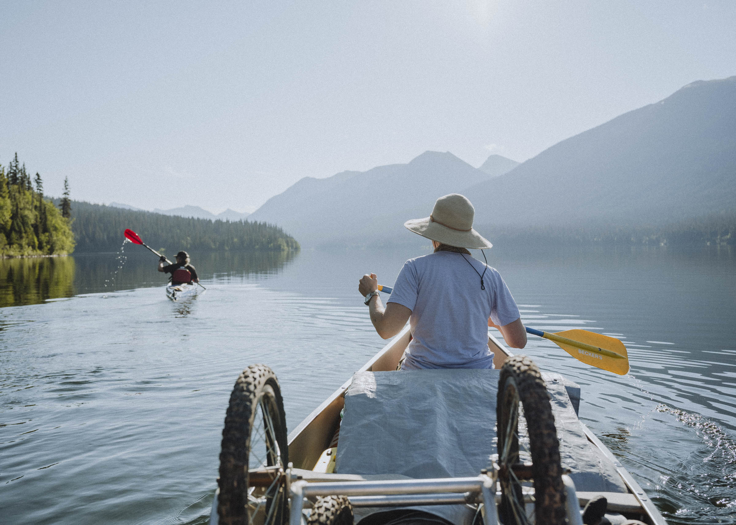
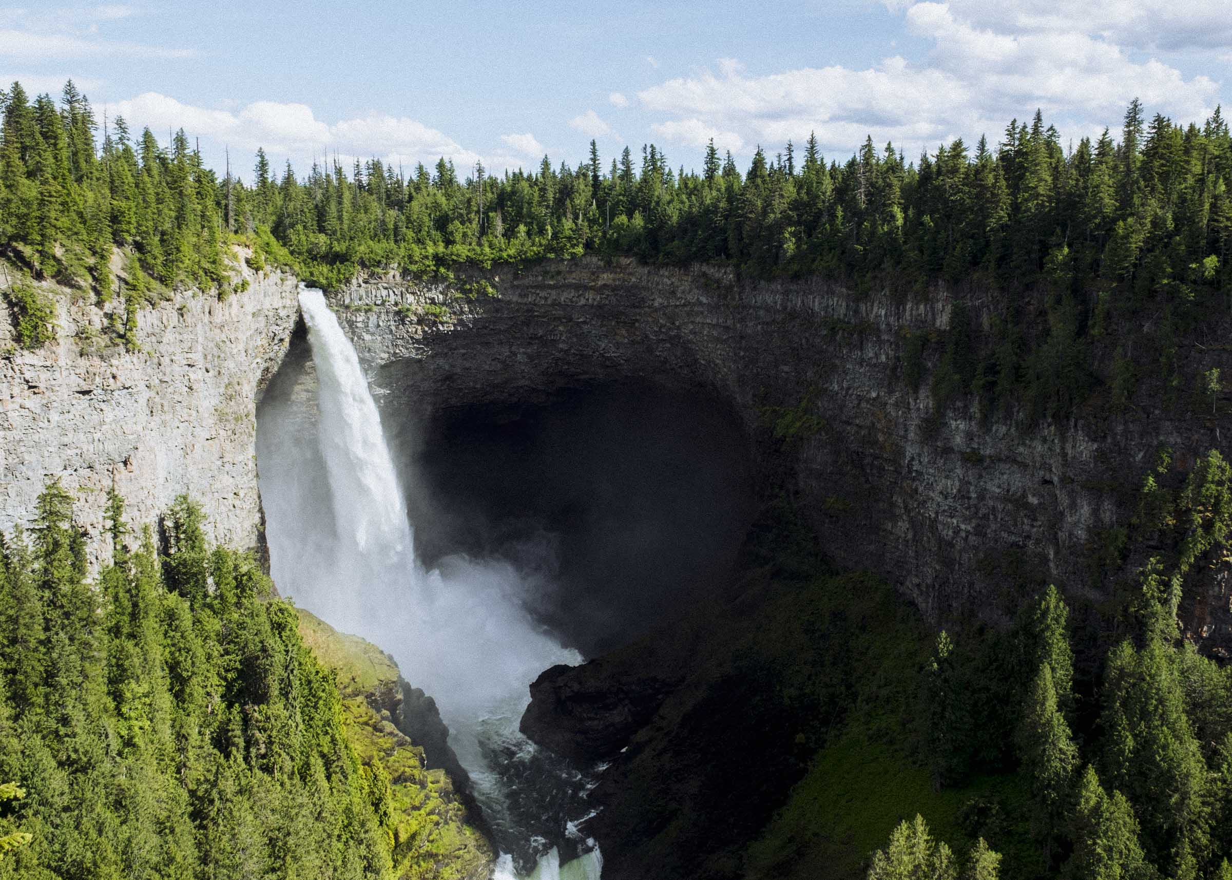
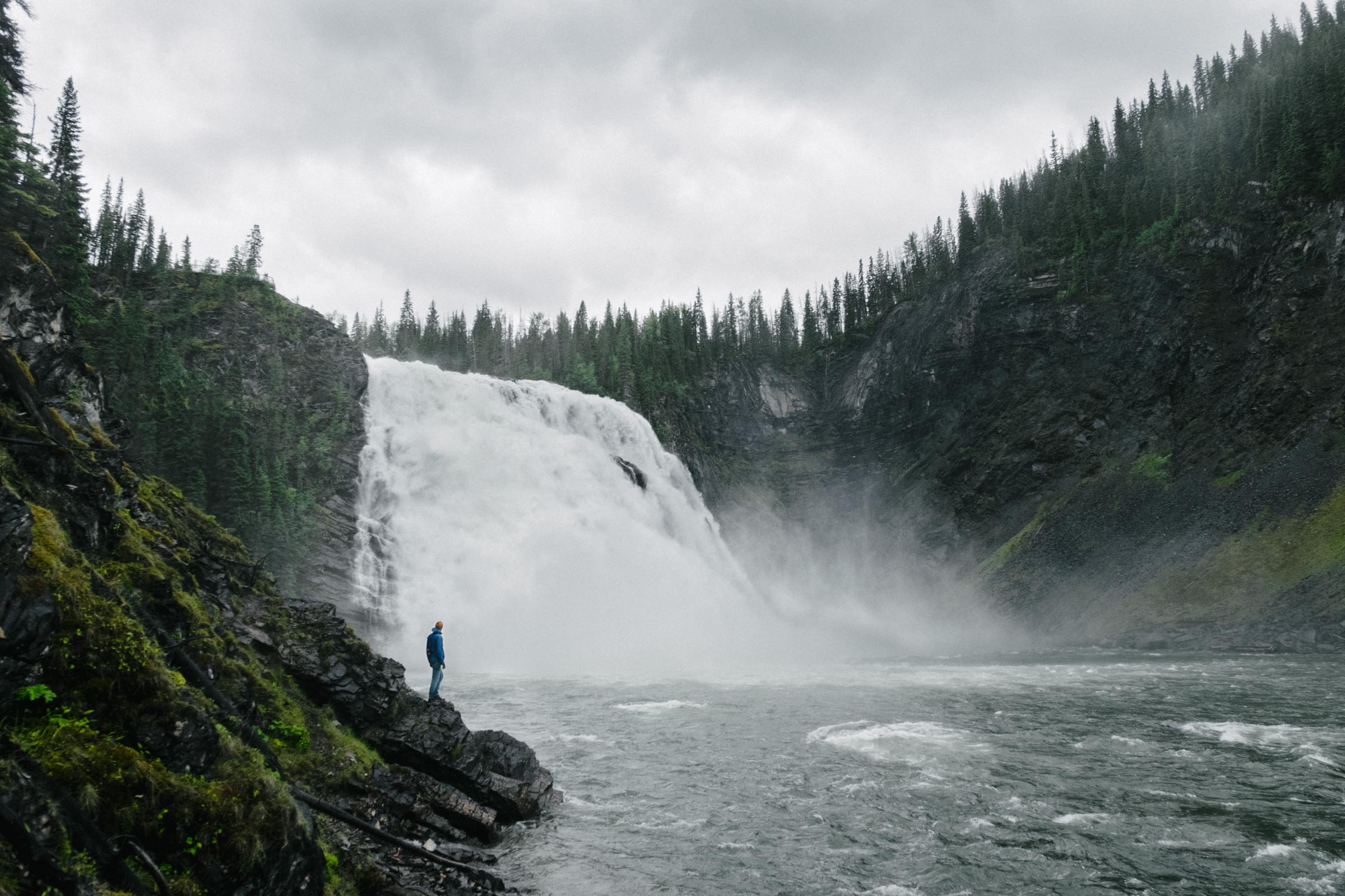
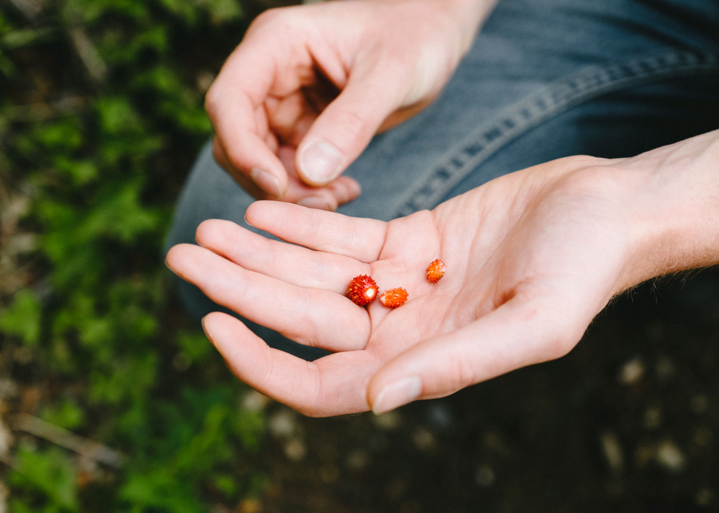
Wells Gray Provincial Park is well known for its magnificent waterfalls. There are Spahats Falls, Helmcken Falls, Moule Falls, and about thirty other falls of note. We had an afternoon to explore, and despite ending up napping at the lake through the heat of the day, we wound up seeing a fair bit of the southern section. It's a beautiful park, and its sheer size makes it feel a little unknowable. We followed the ribbon of river as far north as Clearwater Lake, where the park ballons out to the east and west and really gets started. Hundreds of kilometres of wild lakes and mountains lay beyond. The next time we visit we'll be sure to bring canoes.
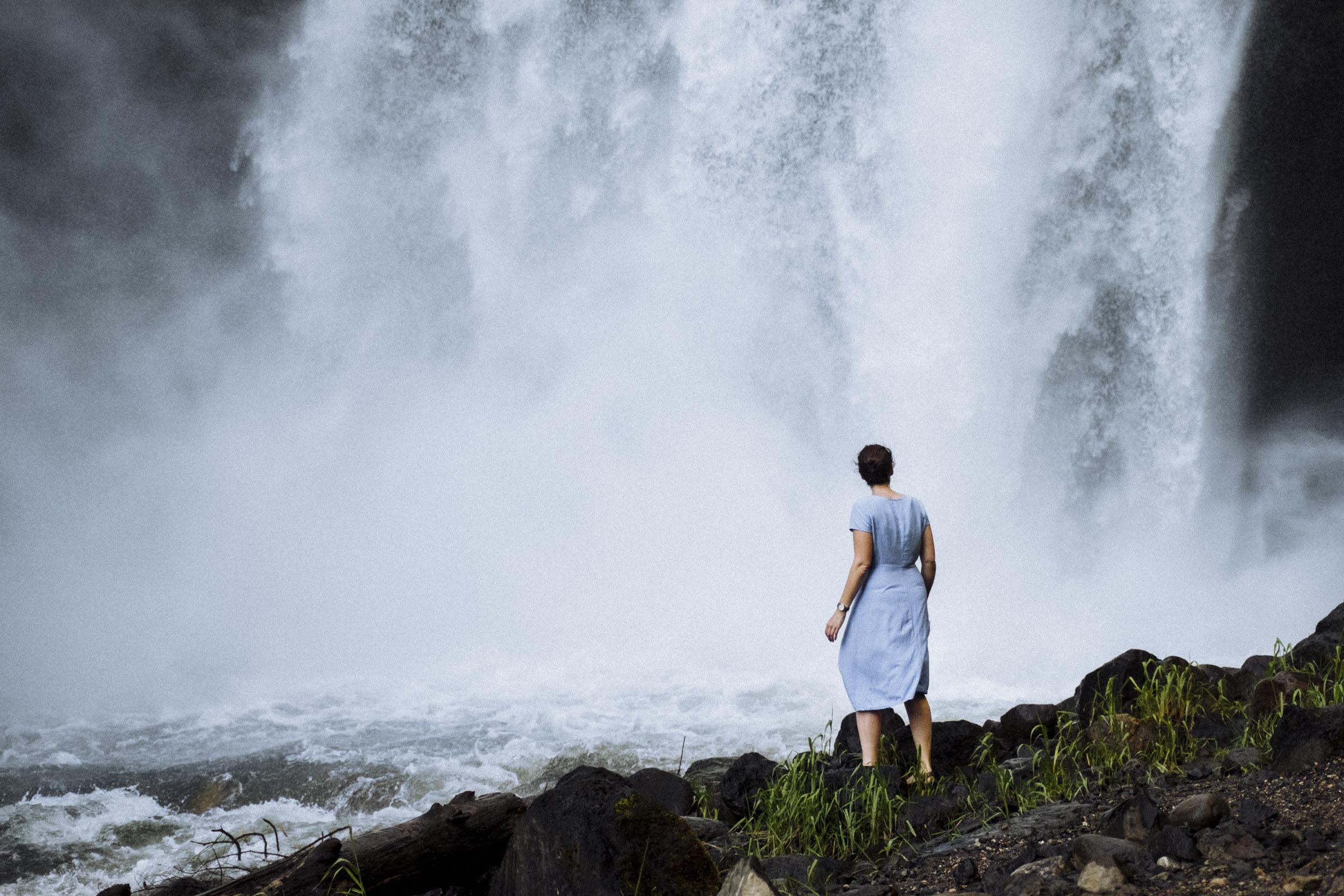
But for now we focused on the iconic falls. Helmcken, the most famous, was a marvel: a great big frothy white spout of water tumbling into an eroded basalt basin, spitting up great swathes of mist into the shadows. But we were most taken with Moule. A 3km hike in, you have to earn the view a little bit, and get to see it up close. We hiked through the lingering heat of early evening, a heavy almost oppressive damp forest heat, and the descent into the cool of the canyon was stark and utterly memorable. We approached the roar of the falls, feeling almost overwhelmed by its powerful tumult, and were drenched by mist in seconds. It felt so good.

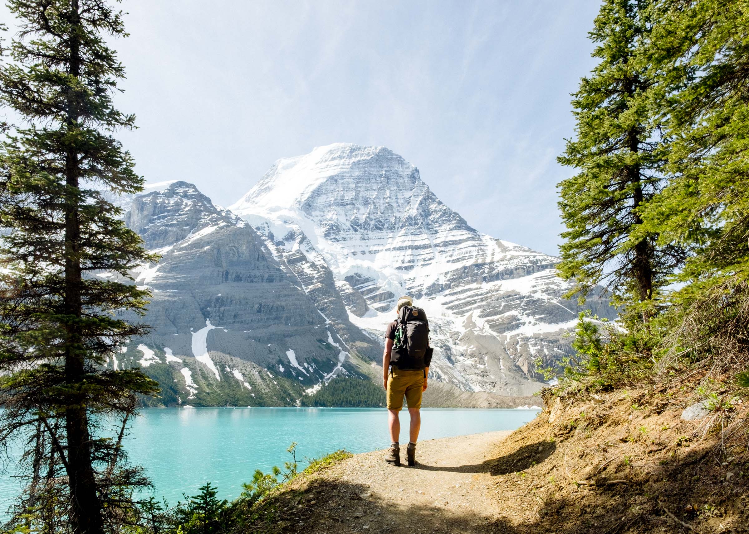
MT ROBSON
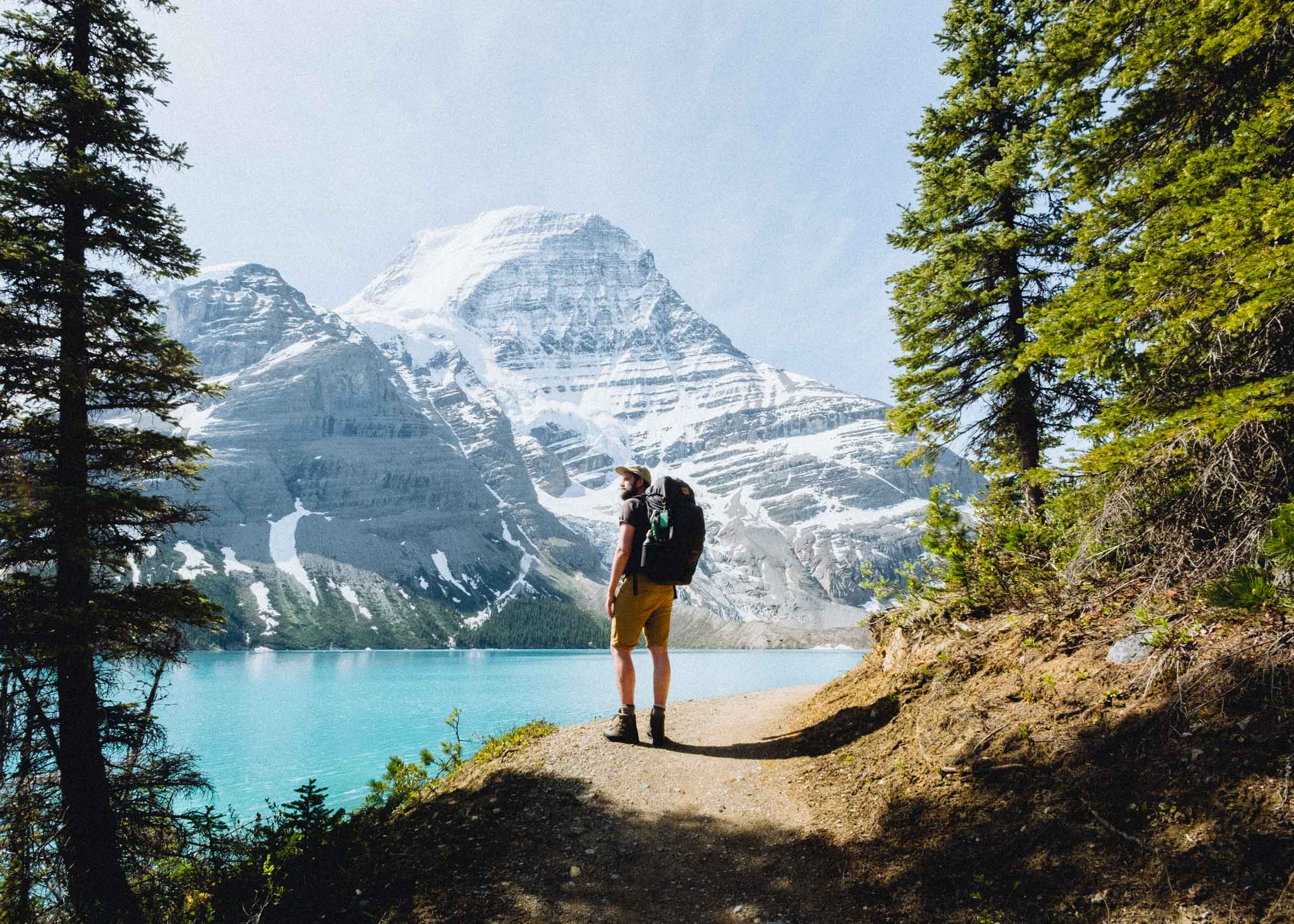
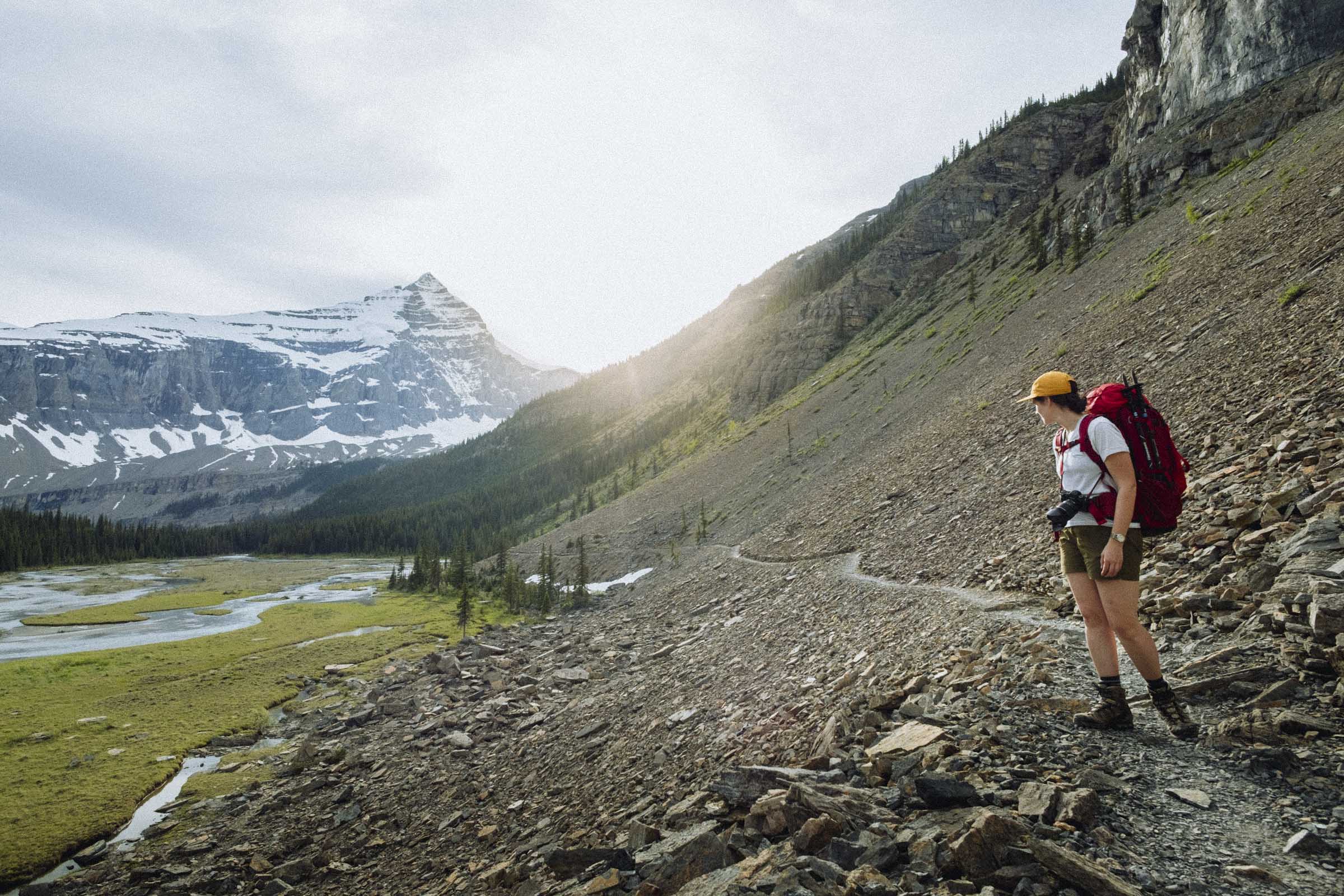
Continuing east on the Yellowhead Highway, the mountains gradually get bigger and grander and rockier. You pass the small town of Vale, turn east towards Jasper, cross a young Fraser River, and Mt Robson looms before you. Framed picture perfect above the highway,Mt Robson is one of BC's great mountain parks, an iconic broad-shouldered peak, and part of the Rockies' UNESCO world heritage site. We parked the car at the visitor centre, grabbed a coffee, and went inside to register. We were headed to the Berg Lake Trail.
The Berg Lake Trail is 44km (27 miles) return, so most people do it over three days. It's a stunningly beautiful trail, and popular enough that if you plan on staying overnight you need to register and/or reserve a spot. There are a variety of campgrounds on the way, and a few side trails into the ridges and meadows above Berg Lake to check out. Definitely worth taking a few days to explore the area! We did our best with only one night, but golly what a pretty hike.
For more info, head to our article on the Berg Lake Trail.

TUMBLER RIDGE
After a quick resupply in Prince George we hightailed it a few hours northeast to Tumbler Ridge. A short detour from the highway, Tumbler Ridge hosts so many things to do and see that it'd be easy to spend weeks exploring the area. With only a couple days, we had to try our best to see as much as we could.
Like so many other places of note, much of the area's unique natural attractions arise from a storied geology. In the foothills of the Rocky Mountains, Tumbler Ridge is host to plenty of alpine lakes and trails, unique rock formations, waterfalls, and more. But 100 million years ago, this area was a swampy forest, leaving the surrounding hills rich in coal. And fossilized dinosaur tracks.


KINUSEO FALLS
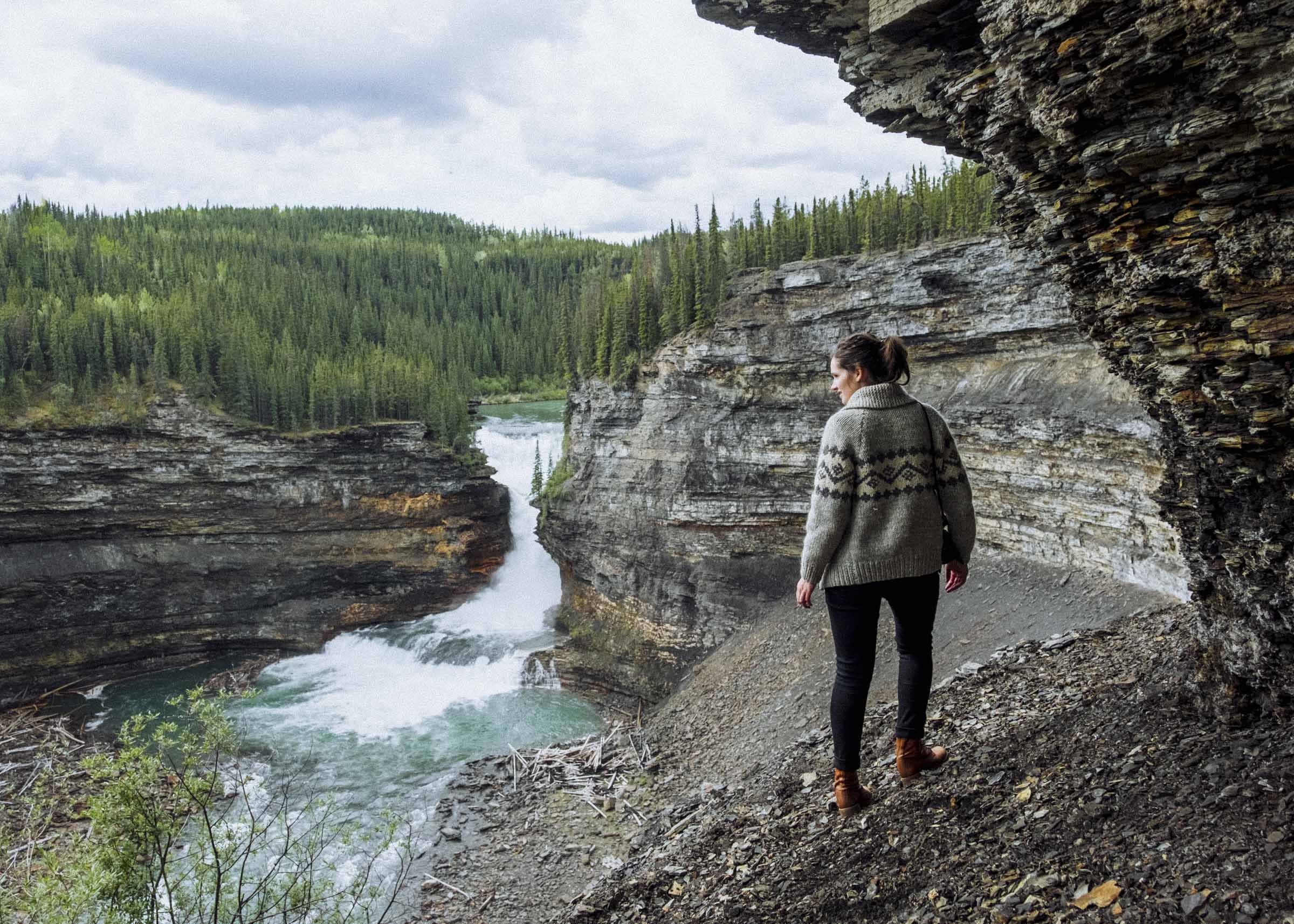
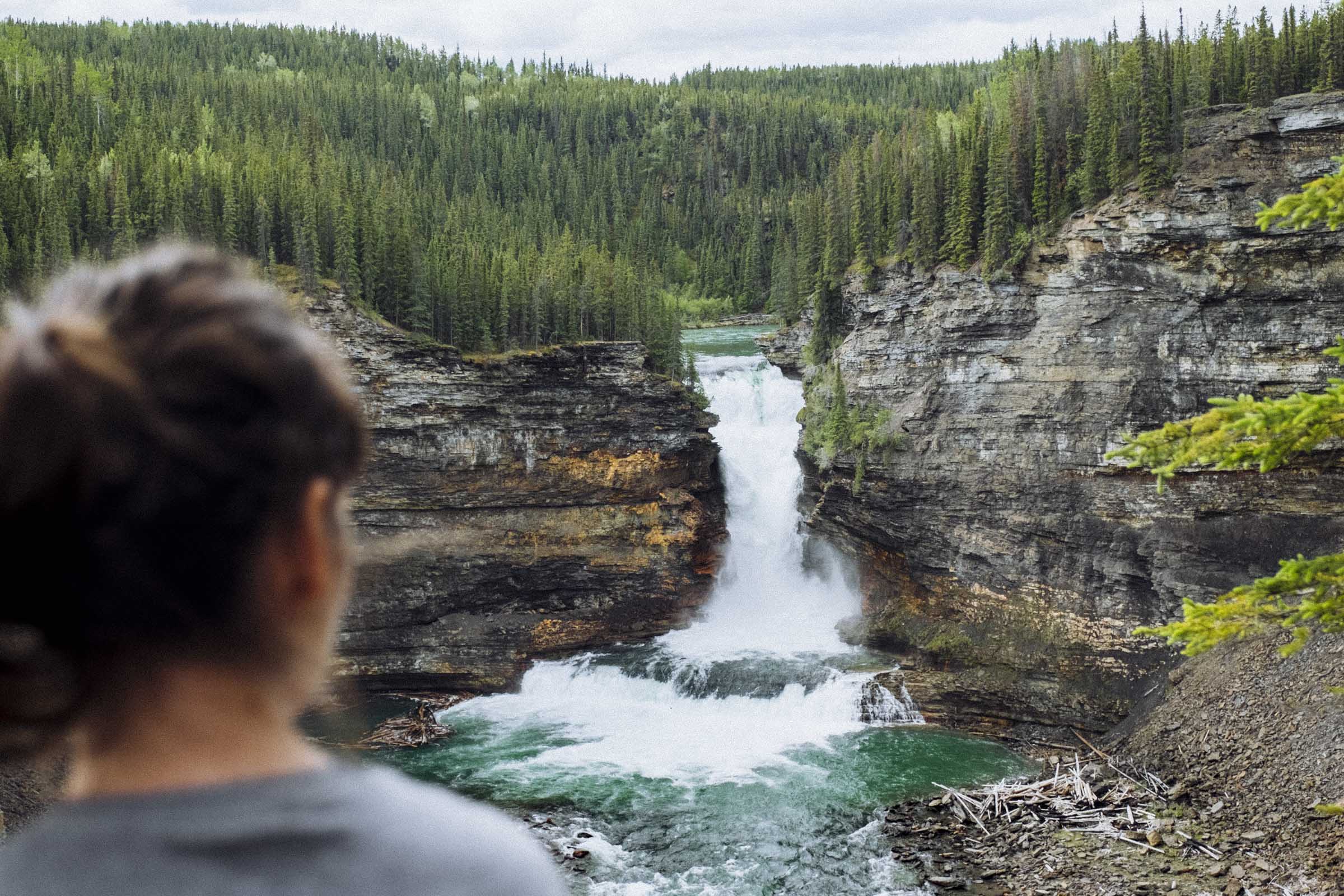
An hour or so south of Tumbler Ridge waits Monkman Provincial Park. There are beautiful backcountry trails and mountains and lakes to explore, but we made the journey just to see Kinuseo Falls. Taller than the Niagara, the water cascades some 60m (200ft) and is very impressive indeed. When they were first discovered by explorers in the 1920s, it was thought they'd one day become a major tourist draw. Plans for a railway were drawn up, and little cabins built. But the rough terrain proved a major impediment, and the plans were eventually discarded. Until a few years ago it was hard getting in at all, with road washouts common and all but impassable except at certain times of the year. Major upgrades and bridges mean the falls are now more accessible than ever.


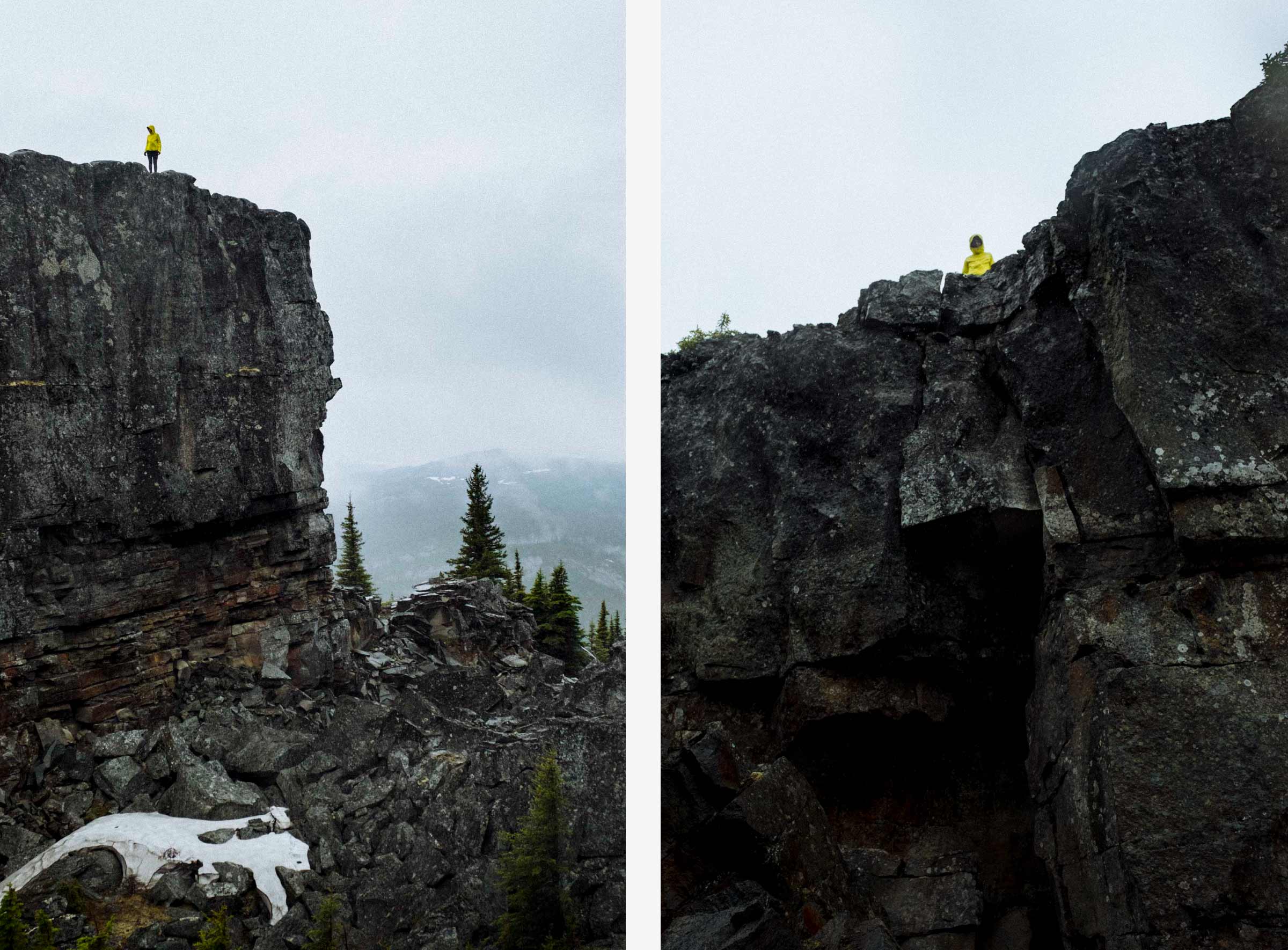
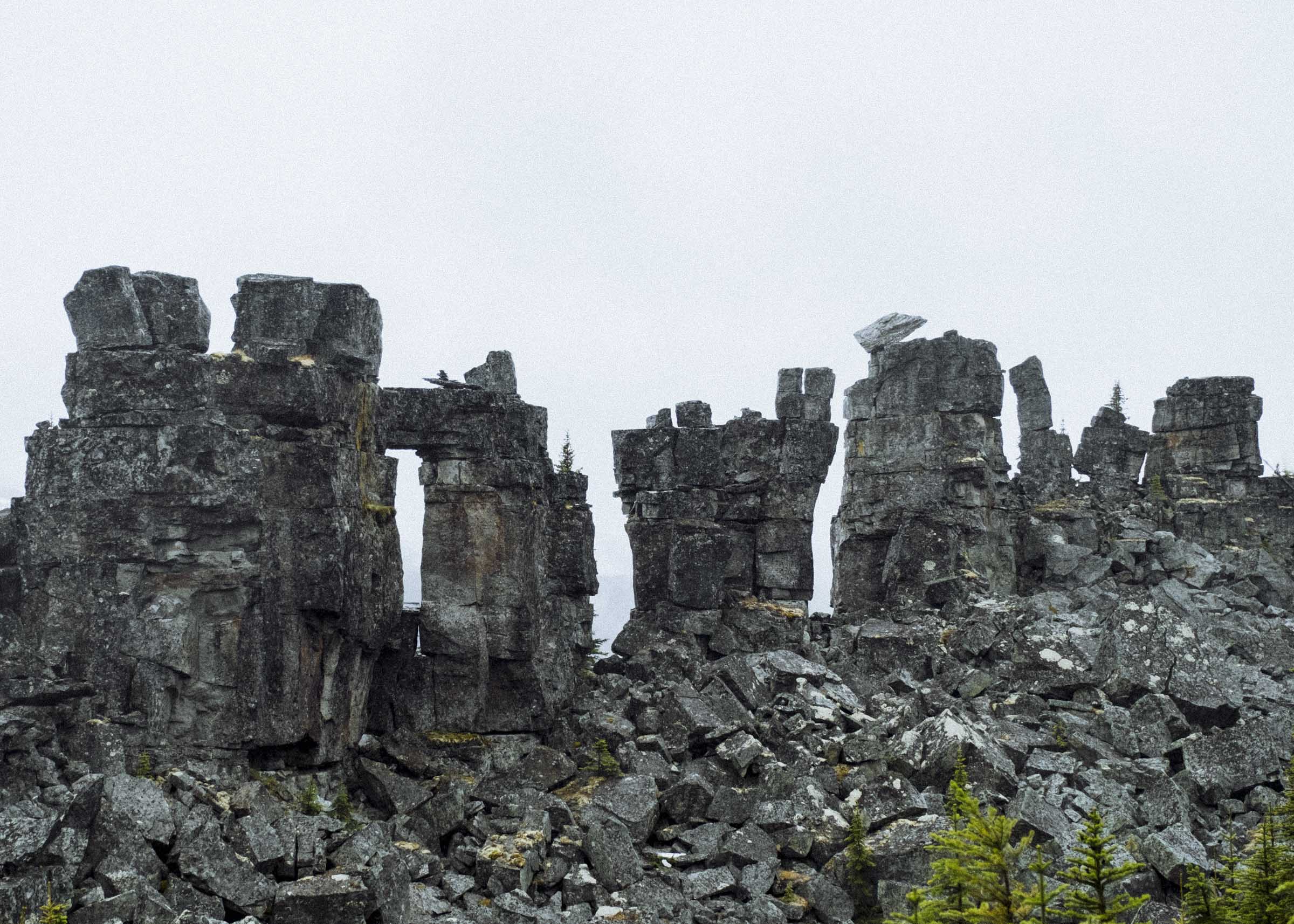
SHIPYARD & TITANIC TRAIL
Closer to town are the curious rock towers called the Shipyard and Titanic. I love all things hoodoo and haystack, so these unlikely rock formations were right up my alley. Named because it looks for all the world like a giant craggy sinking ship, the Titanic rock was a formidable thing, and a great half day excursion.

THE PEACE
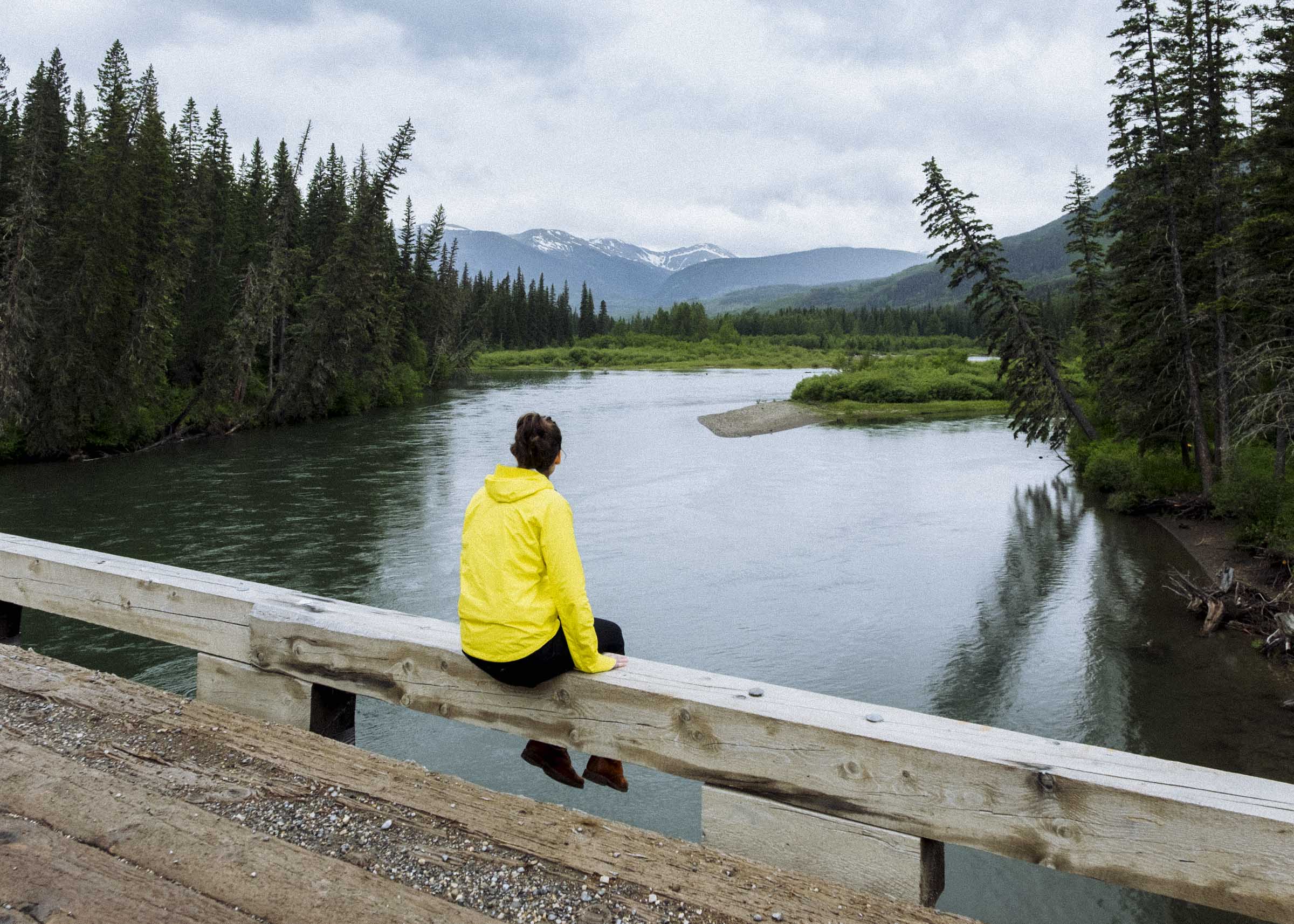
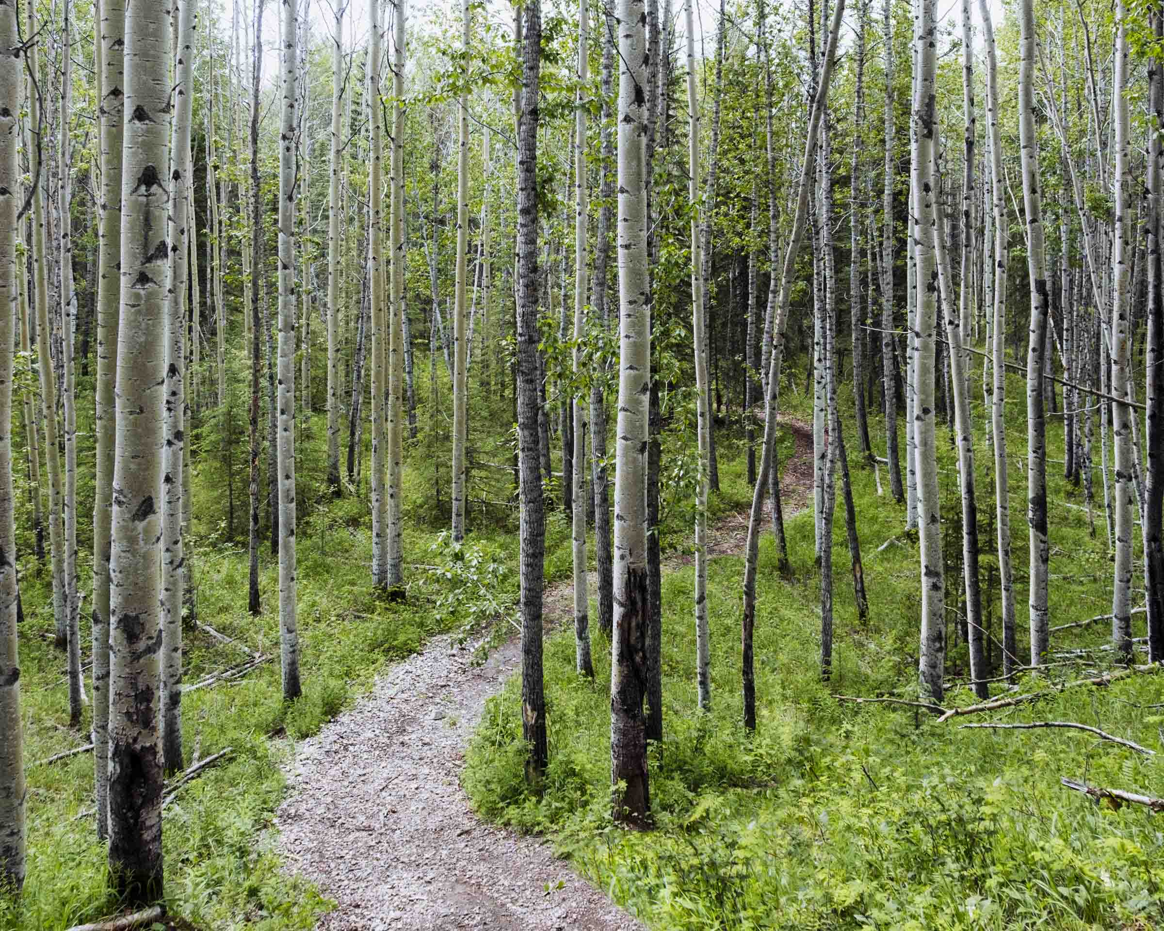
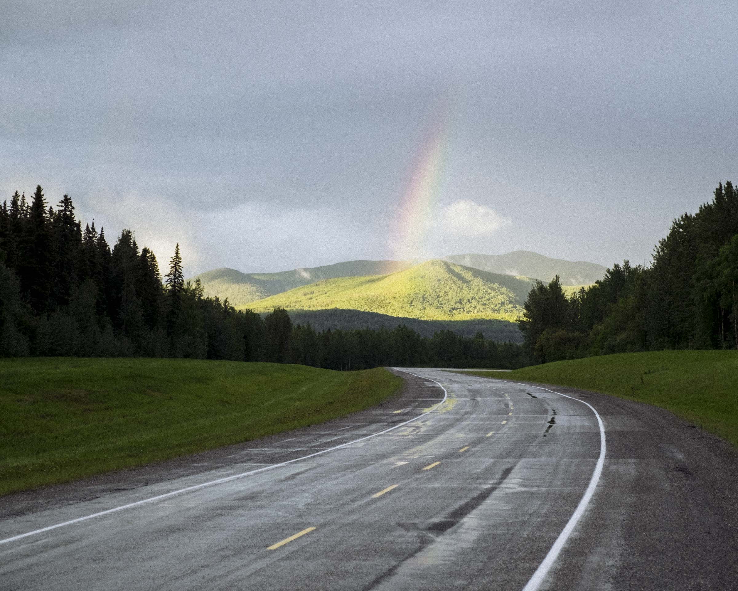
I'd always heard about the Peace River, and it was neat to finally visit. I kinda imagined it as a great sweeping flatland of bright yellow canola fields dotted with oil wells, and I wasn't entirely incorrect. Industry and agriculture are king — there are more giant pickups plying the roads than cars – but what I failed to picture was the lush green beauty of the open rolling prairies and the miles and miles of quivering aspen groves. We arrived in Dawson Creek in the lull between rain storms, and the landscape looked positively vibrant in its early summer greens.
Dawson Creek is the official start (Mile 0) of the Alaska Highway, and there are some historic plaques and a big signpost you can take your photo beside. We wandered around town, but instead of taking photos we went out for breakfast in what looked like a giant 1950s aluminium Airstream trailer. Nice.
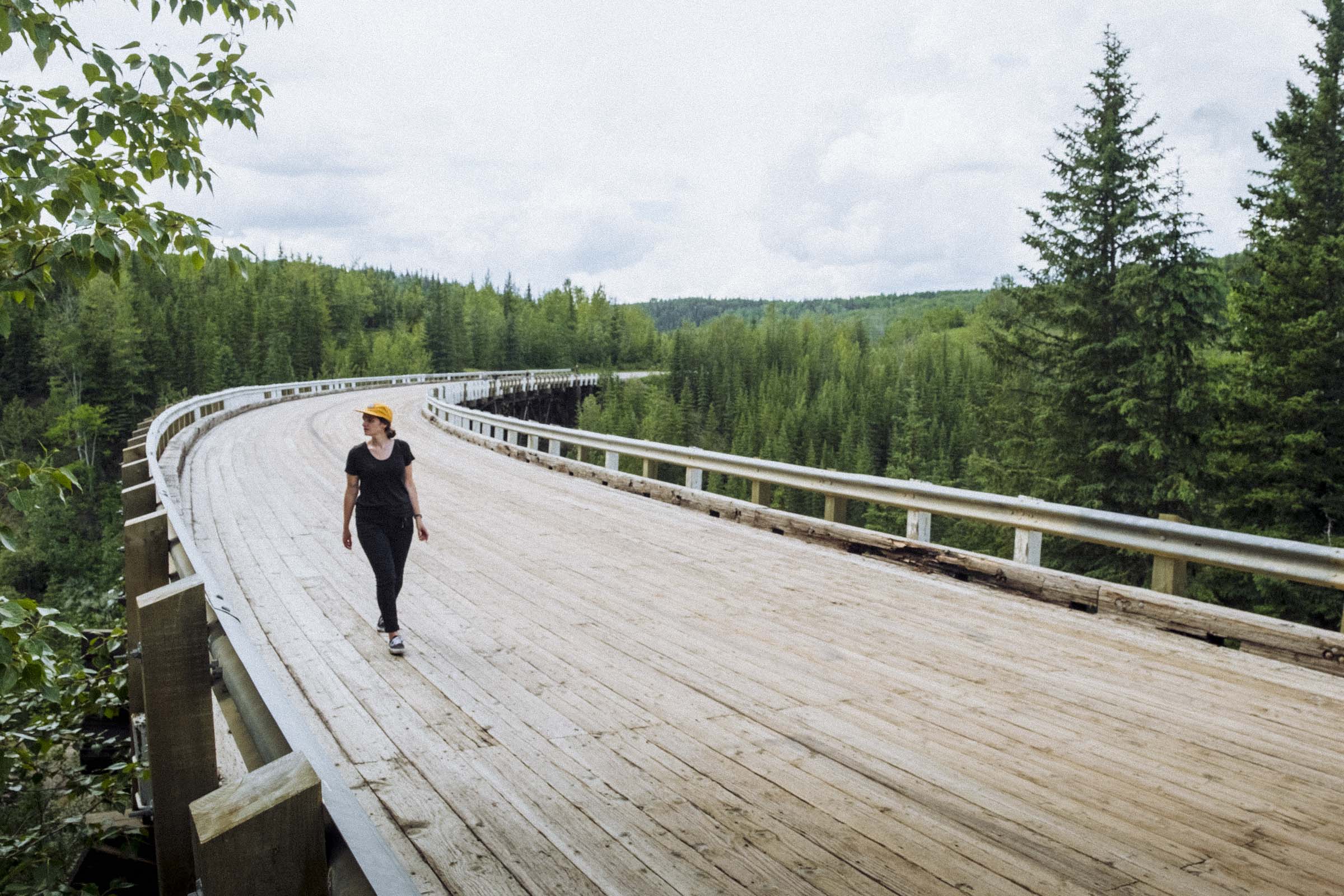
A short drive out of town, and you get a chance to see one of the old sections of the highway as it existed before everything was rerouted and shortened and modernized: the old wooden Kiskatinaw trestle bridge. Curving elegantly high above the mud-brown river, the giant bridge still seems like a marvel of effort and engineering. We parked the car and wandered onto its rough wooden deck, peering over the ledge as a deer swam across the river far below. No longer capable of carrying the full rush of traffic that now travels the highway, the trestle is living a nice semi-retirement as a scenic detour.


FORT NELSON to the NORTHERN ROCKIES
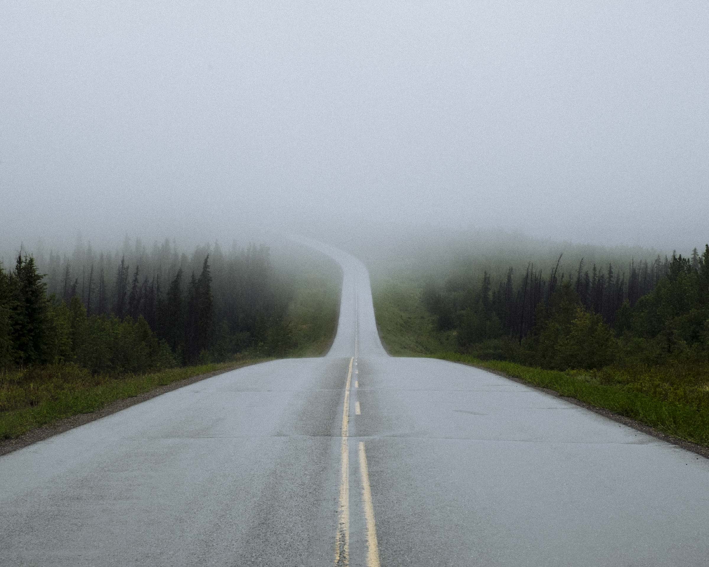
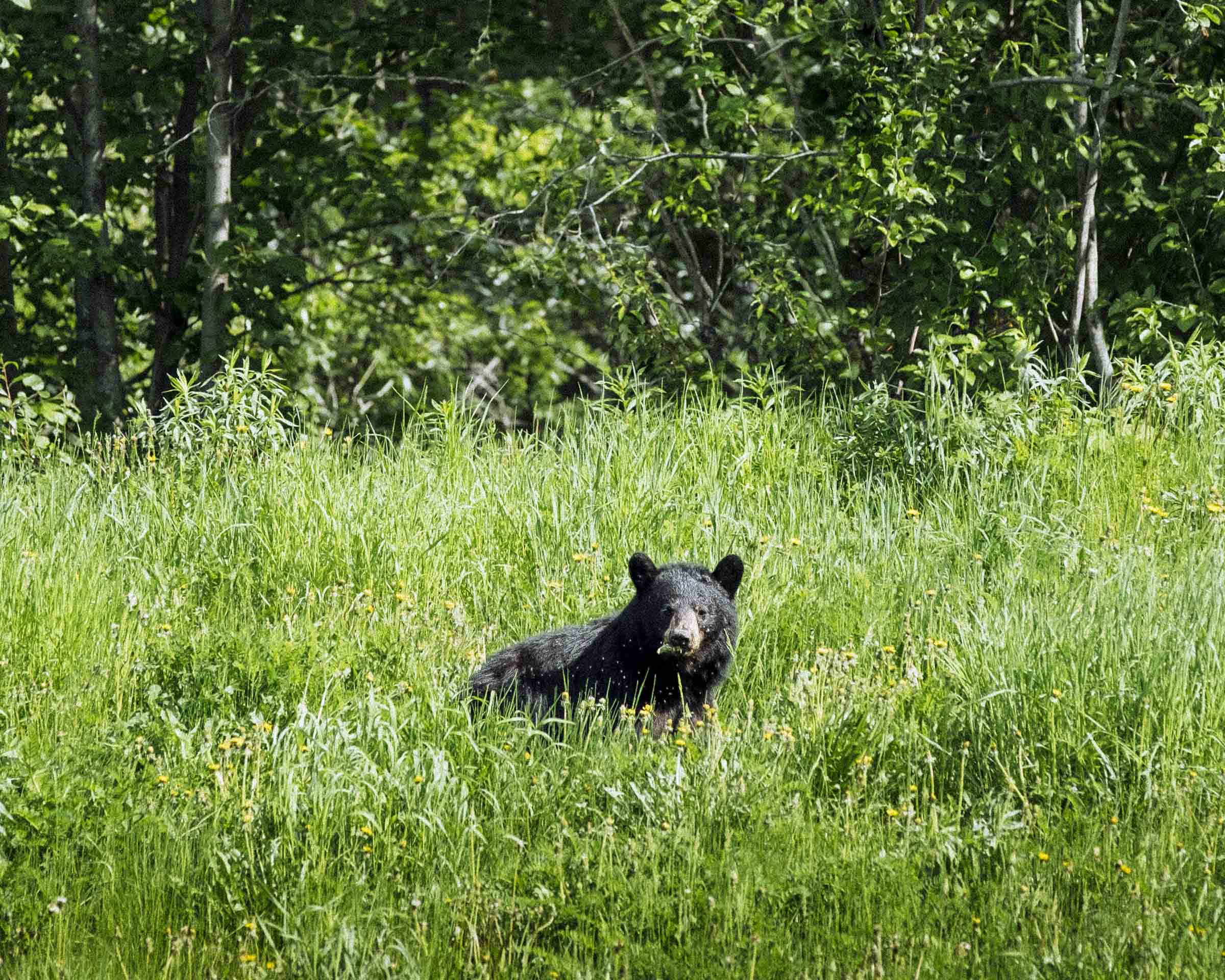
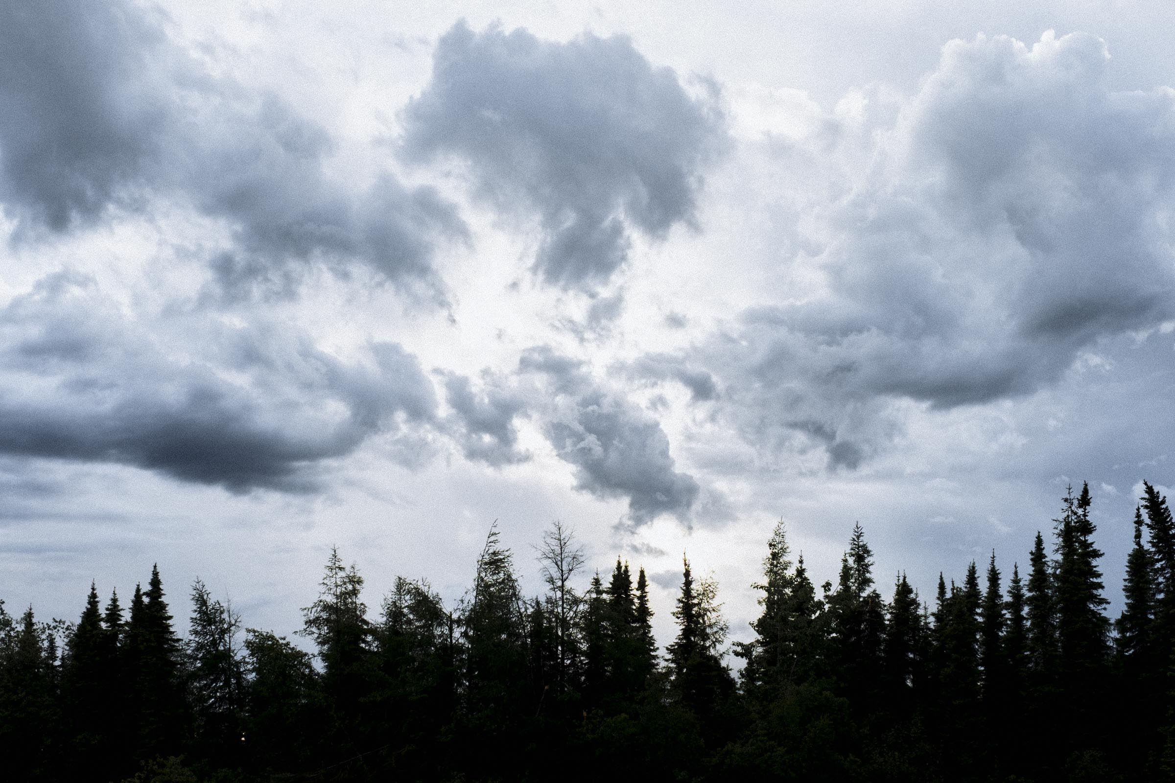
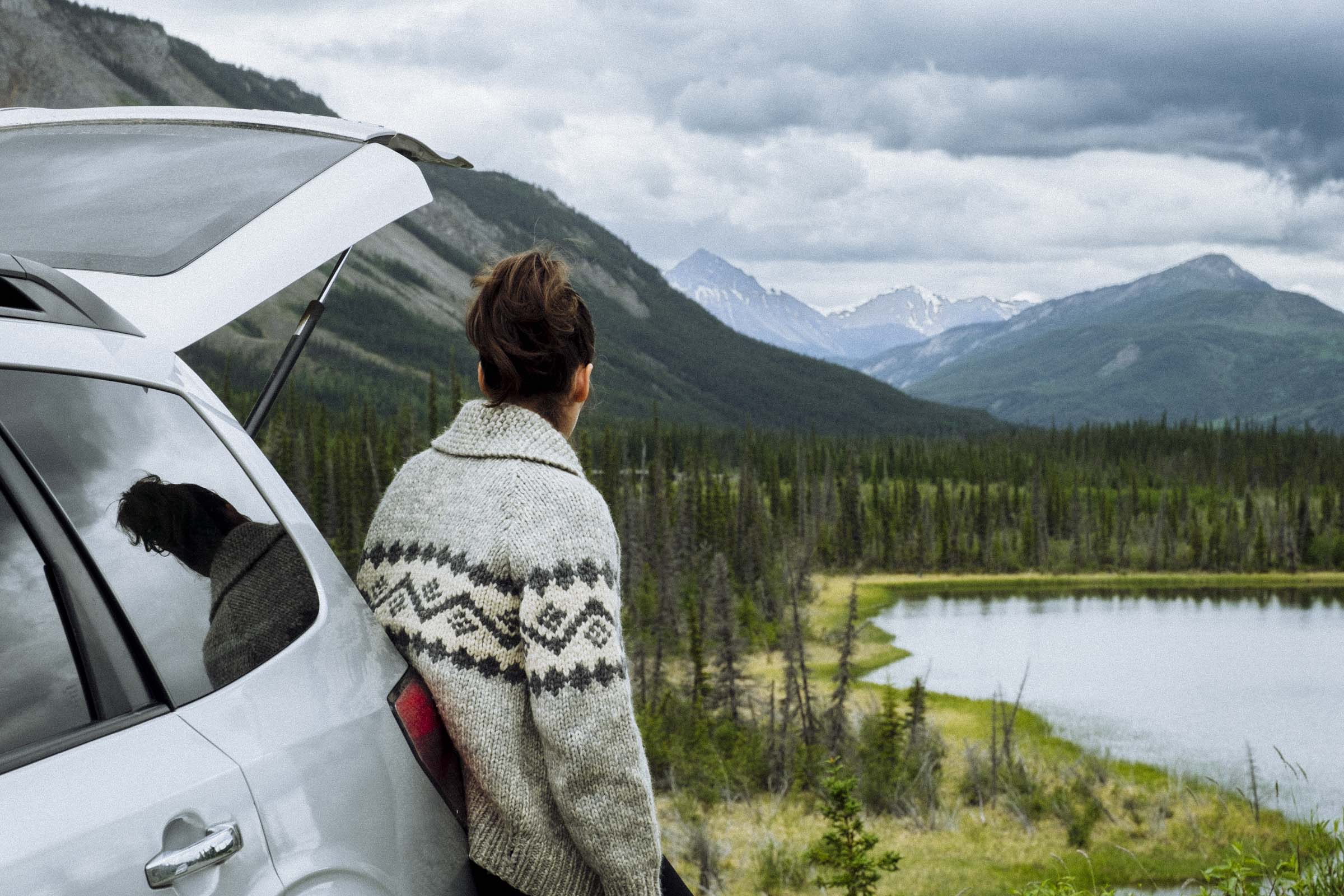
The prairie slowly gives way to boreal and muskeg, and the great ribbon of road stretches on and on through it all. This section of the highway must have been one of the most trying to build, with endless swamp and dark forest pushing in on all sides. But they did such a job that animals were soon preferring it to the forest, too. With easy ambling and great grazing, moose, bear, and other animals are all common along this stretch of road. To help ease collisions and save lives, the highway right of way has been widened, clearing about 6m (20ft) or so of forest on either side of the road so animals can graze and travel easily along the corridor away from the traffic. This also increases your chance to see some wildlife: in one day of driving, we saw 14 black bears on the side of the road, either travelling slowly along, or, more commonly, laying in the dandelions covered in fluff.
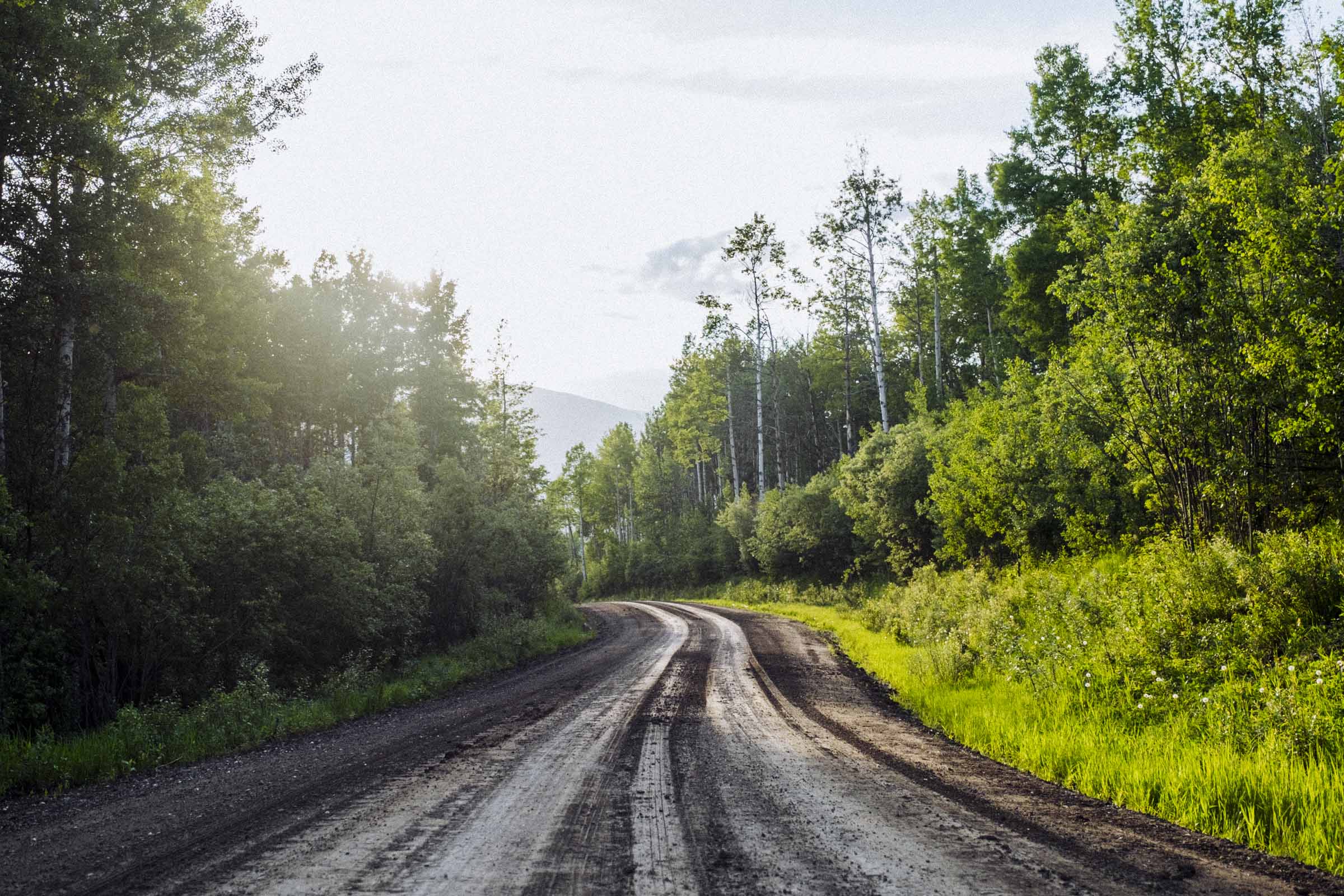
Forestry and gas roads criss-cross the forests, and occasionally they lead somewhere pretty neat. We followed one down to Sikanni Chief Falls, sort of like a Helmcken Falls but on a smaller scale. The short hike in through the aspens is quite nice, and when you near the falls you start smelling sulphur like there's a hot springs nearby. We didn't investigate too fully, but the ground has cracks here and there, and the crumbling rock walls above the falls are yellowed with minerals. Something interesting going on there, and definitely a great place to get out and stretch your legs.
And slowly, mile by mile, you near the mountains.

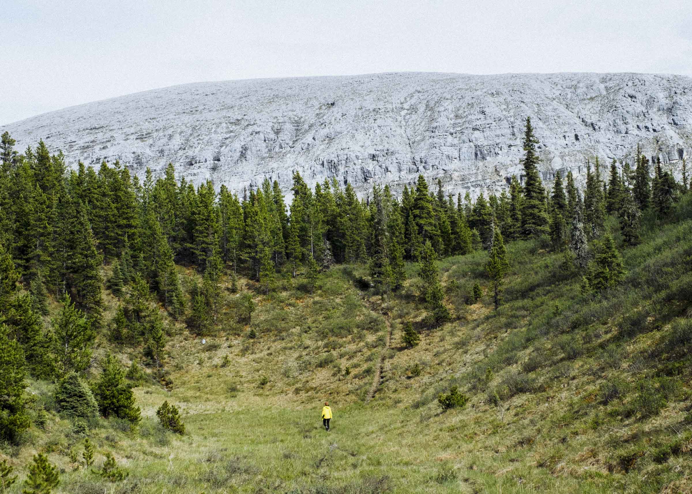
STONE MOUNTAIN
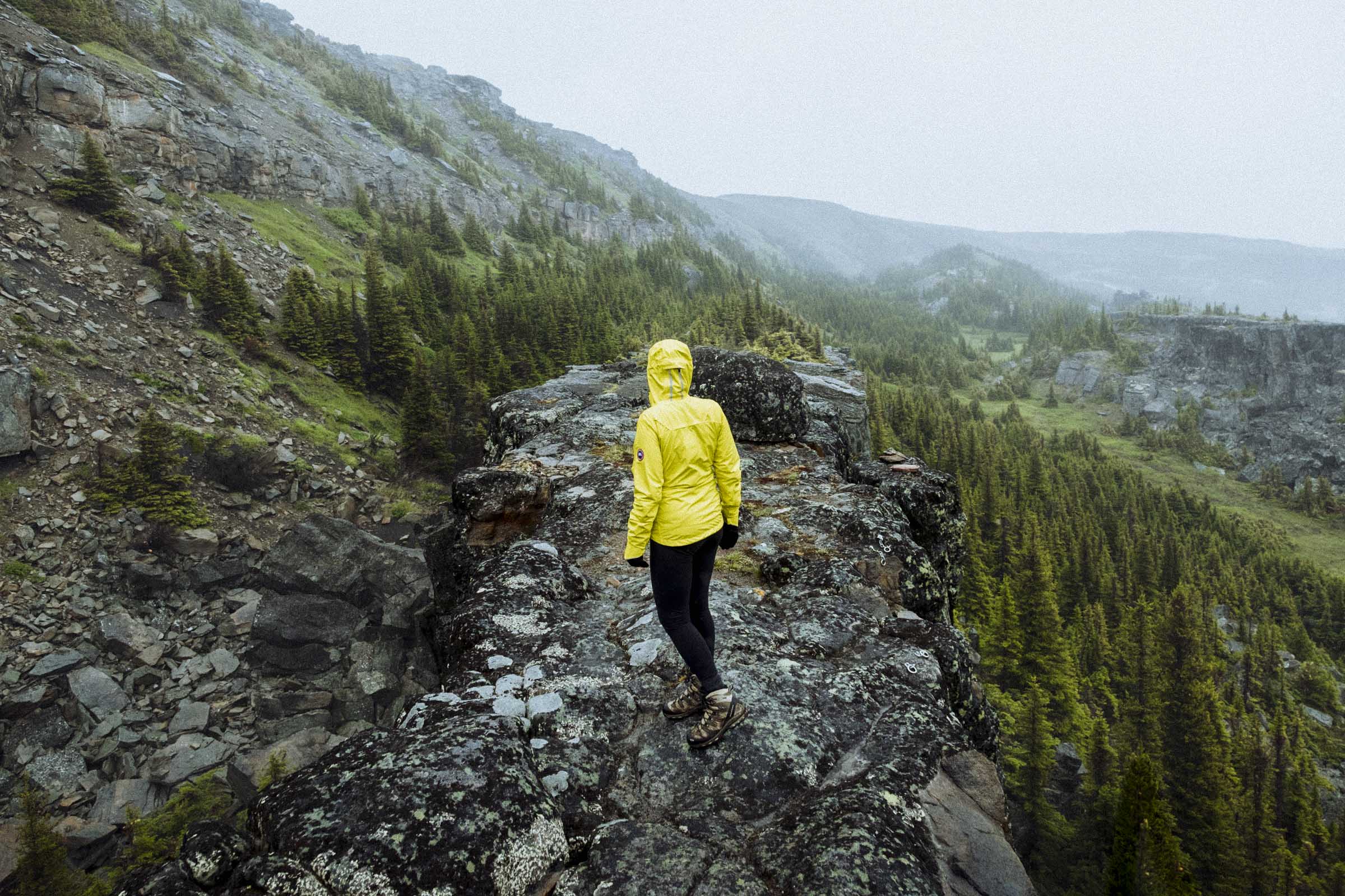
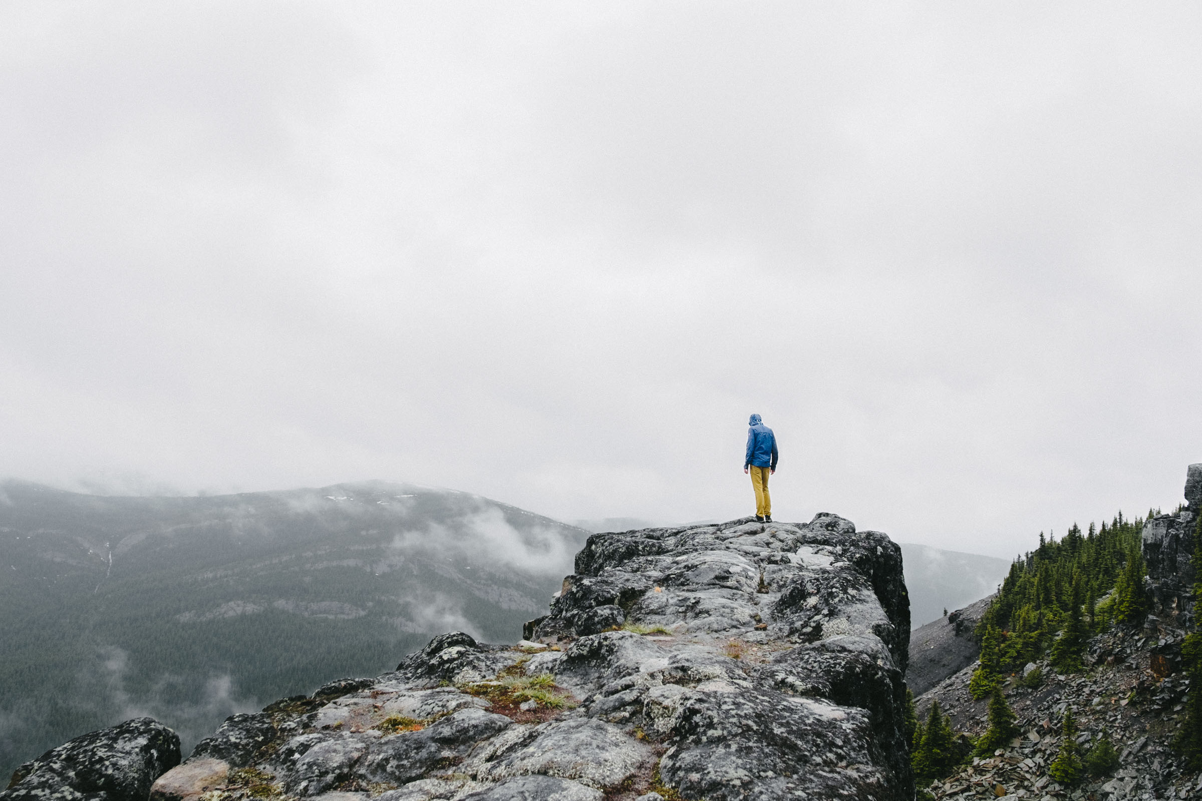
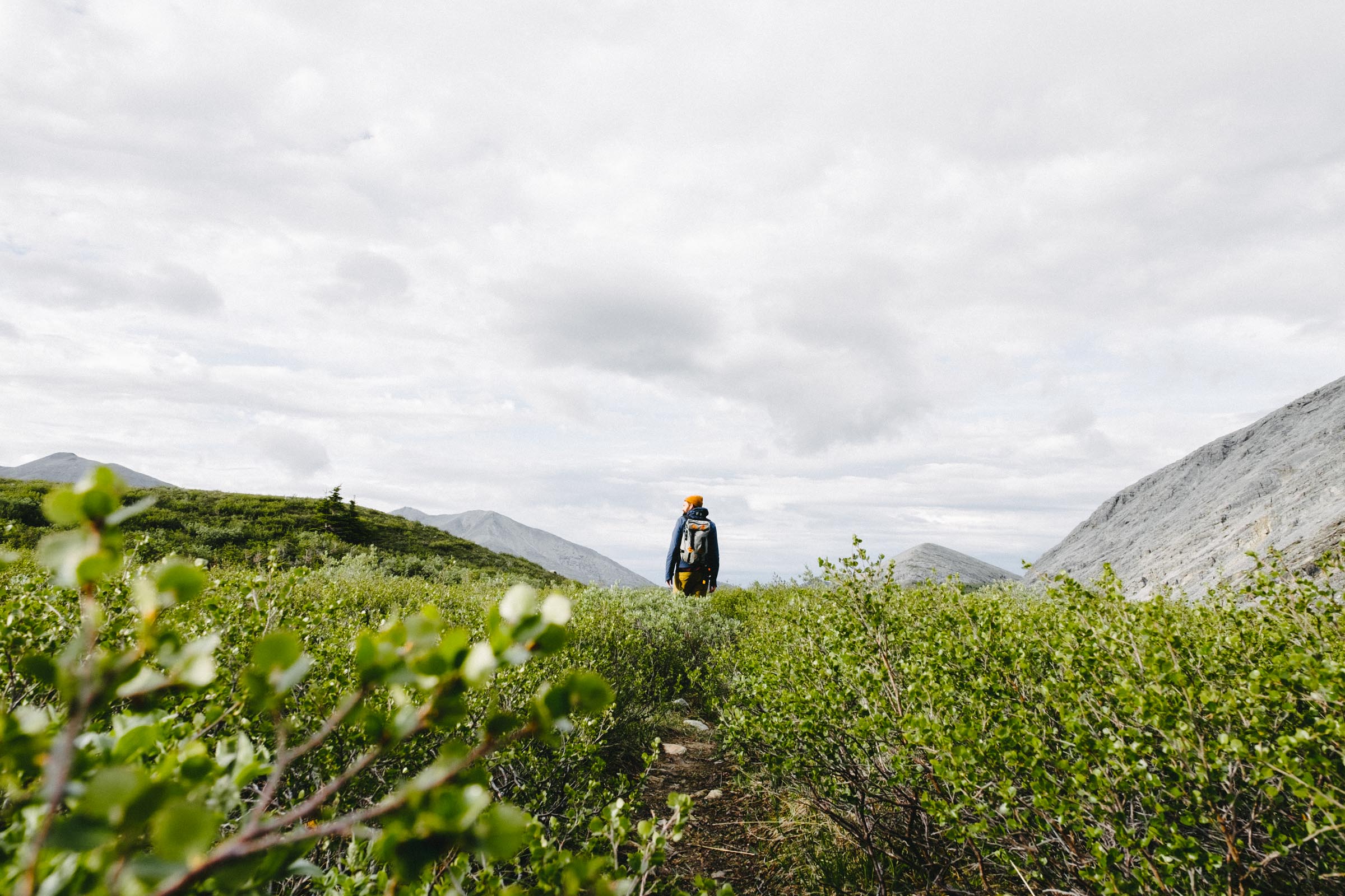
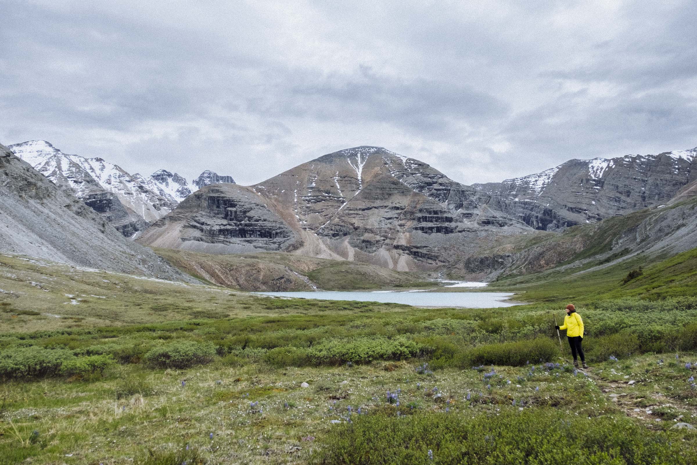
Everyone we talked to said Muncho Lake and the Liard Hotsprings were the two best spots on the Alaska Hwy, but I think Stone Mountain Provincial Park is right up there too. With some of the most alluring landscapes I've ever seen, Stone Mountain is dominated by barren grey-topped mountains, rounded by time and weather to be almost conical, and miles of open alpine. This is the highest point on the highway, and we were blasted by wind and biting cold. But the great height also means the alpine is just a short hike away. And sure enough, Stone Mountain has some great trails.
After waiting out a couple hours of heavy hail and driving rain, we set up camp at the little campground nestled against the windworn lake and sussed out our hiking options. I had originally marked out the Summit Peak Trail as my hike of choice, but by the time the rain receded it was late afternoon and we went with the shorter Flower Springs Trail instead. A breezy 3 hr hike, the Flower Springs Trail takes you quickly up through the dark spruce forest and into the low shrubs of the subalpine. It was beautiful tramping, with mountain and valley views all around. We hiked past the low barren rock mountains towards a little lake, with hints of massive jagged snow-clad mountains behind. Returning to the camground we saw four mountain caribou at once both curious and shy, running a semi-circle around us, inching closer, then stopping, wary.
If you have the time, check out the 5-7 day loop through the MacDonald and Wokkpash valleys for a great sampling of the rugged Muskwa-Kechika backcountry. Yet another thing for another time.


MUNCHO LAKE & THE NORTHERN ROCKIES LODGE
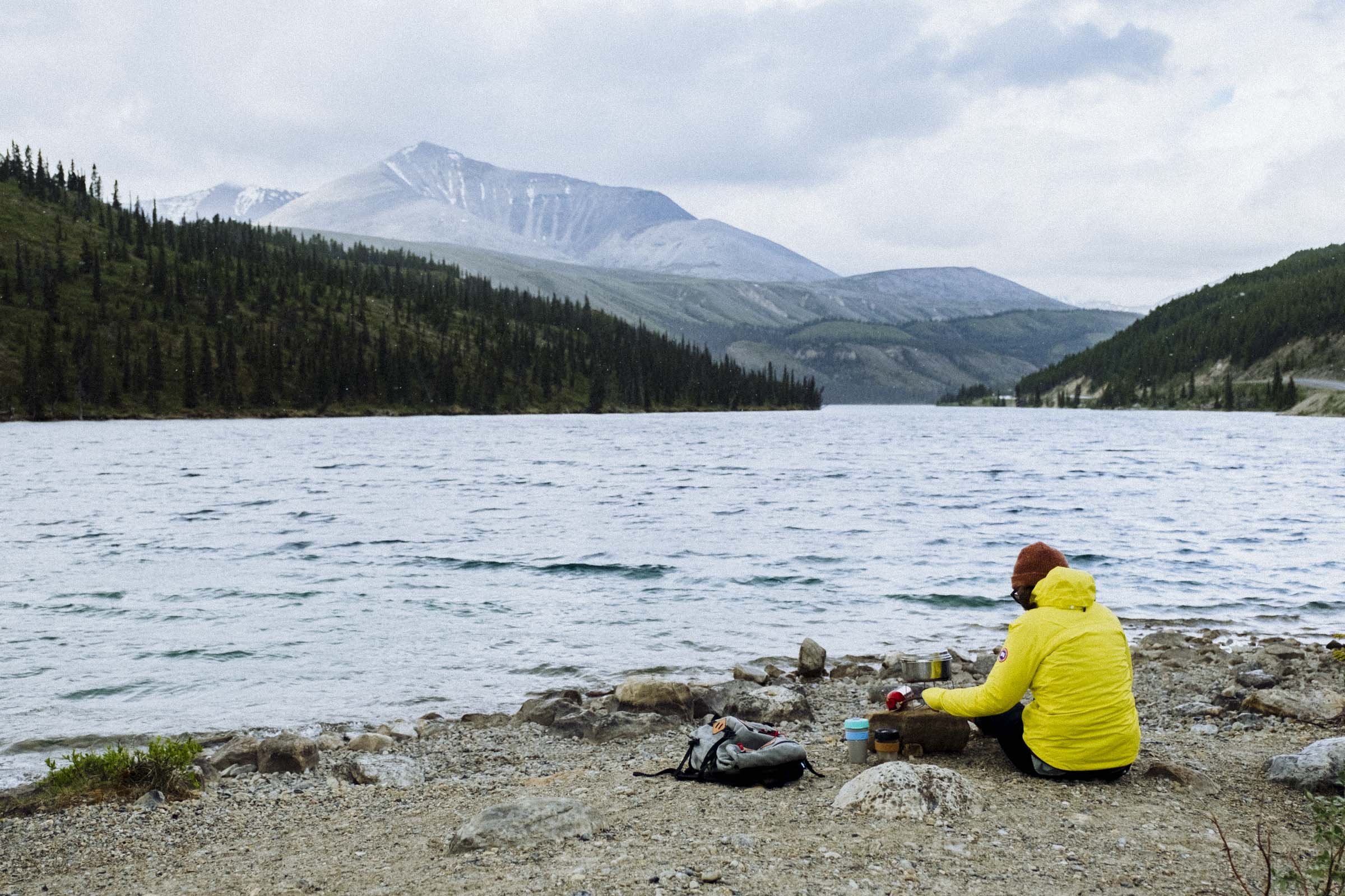
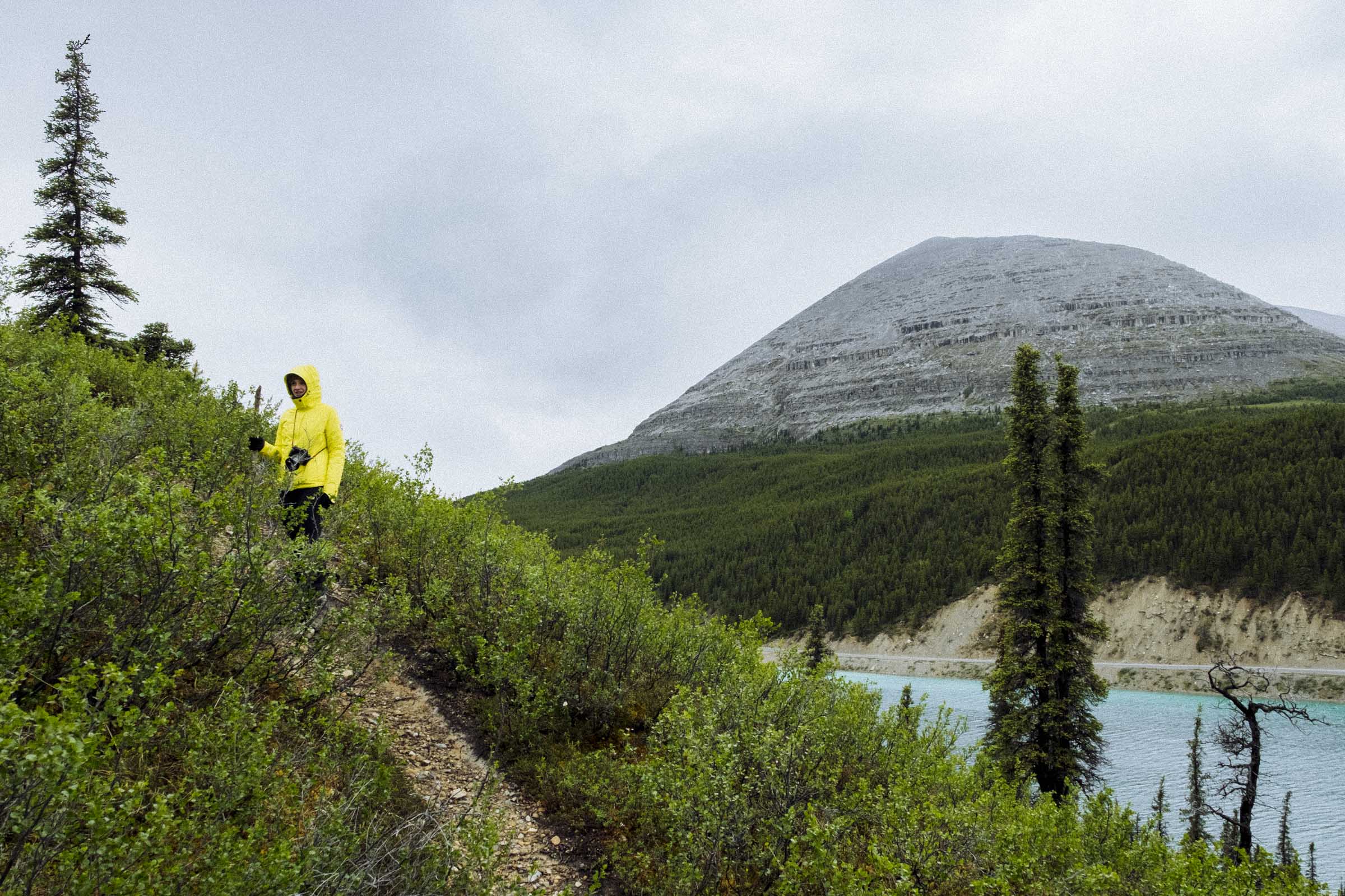
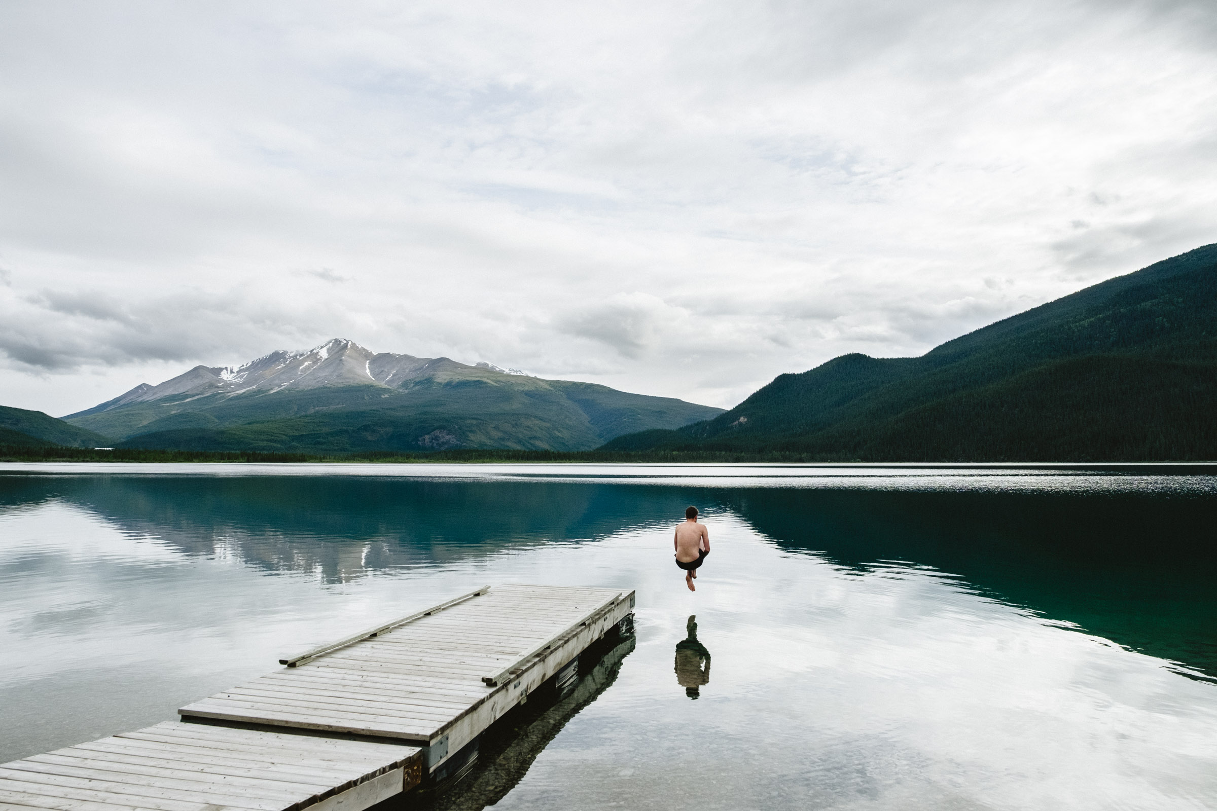
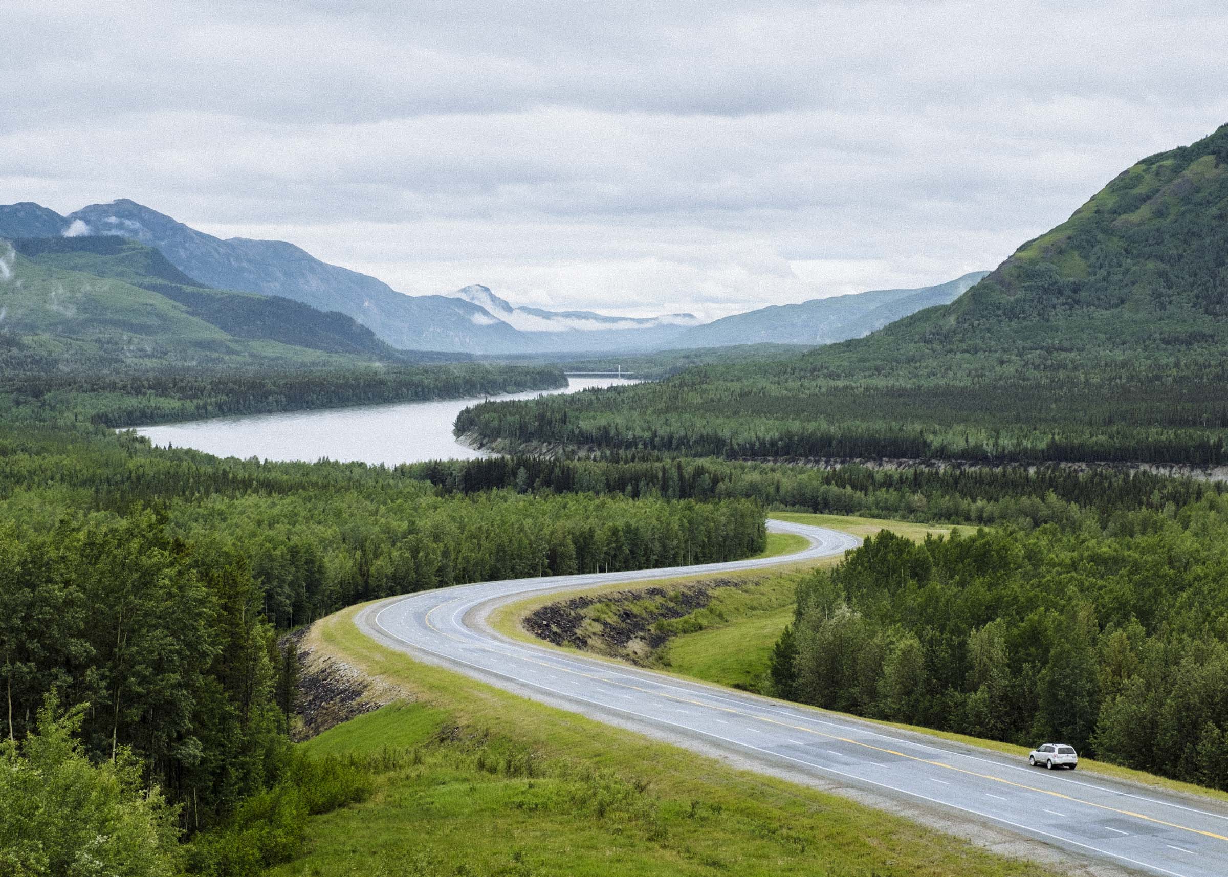
Muncho Lake is widely regarded as one of the most beautiful lakes in all the Rocky Mountains. Situated in a long valley at the northern terminus of the Rockies, the lake is a great grey-blue gash surrounded by steep forested hills and massive jagged peaks. The drive is marked by extensive alluvial fans, where rain and spring meltwater rush off the bare upper slopes into the craggy valleys, dislodging huge amounts of stone and gravel and washing out to fan along the valley floor below. The result is almost otherworldly, and its a wonder how the mountains stay standing with this much rock washing out every year.
There is a campground at each end of the lake, and the cool clear water is great for swimming and boating. Stone sheep, frequent in the rocky highlands, occasionally come down to mineral deposits and you can sometimes see them on the road. It feels like a great and wild place, a sort of barely tamed wilderness that comes with the spare comforts of knowing it is well-frequented by people. It felt great to be there. We set up camp and jumped in for a brief brisk swim.


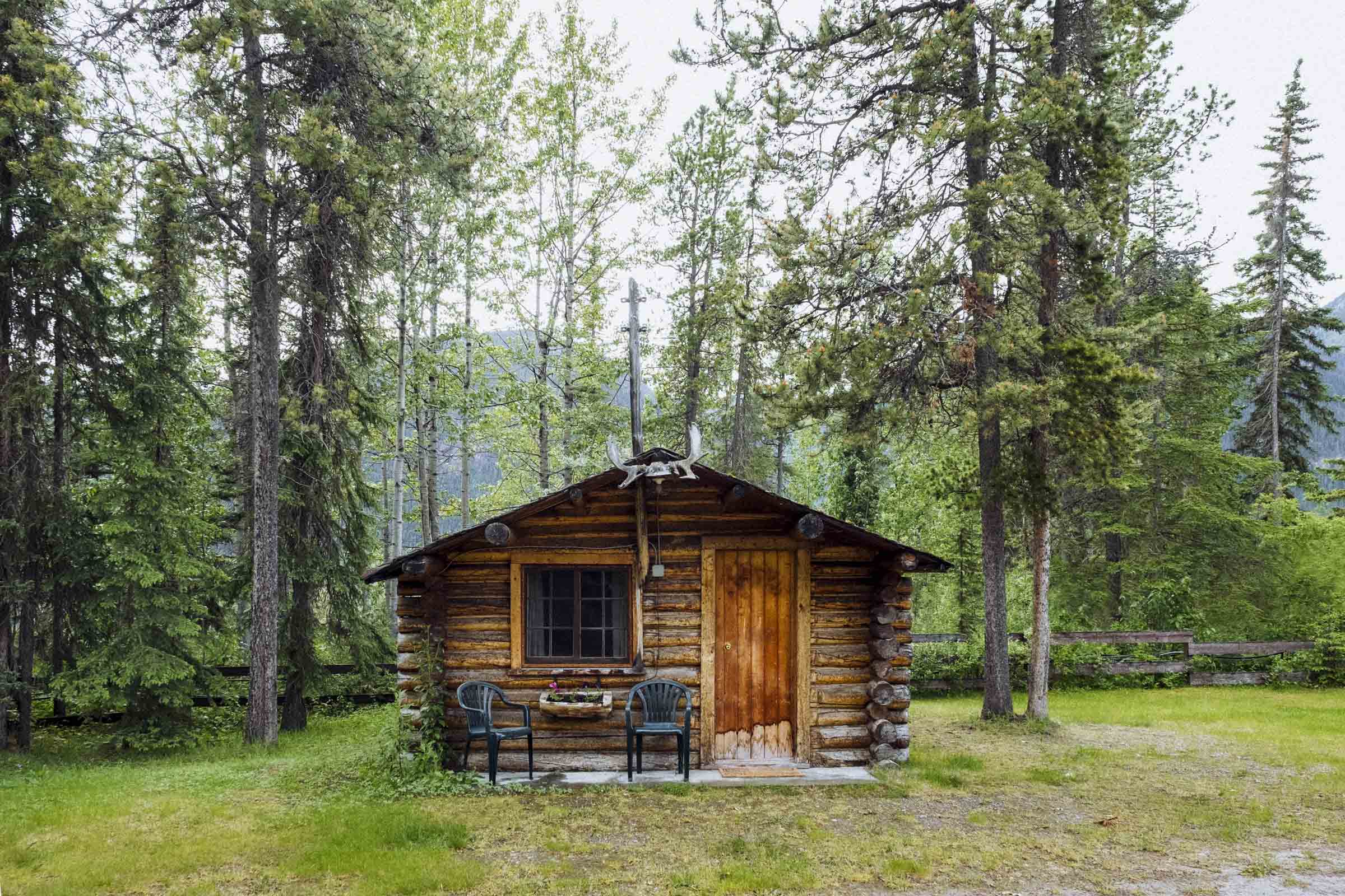
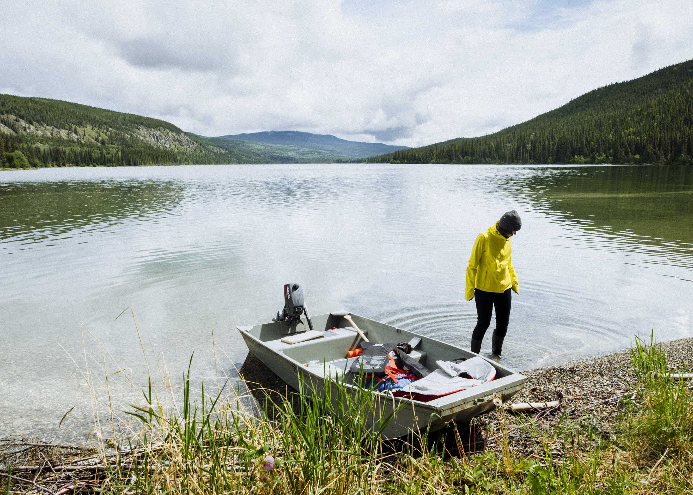
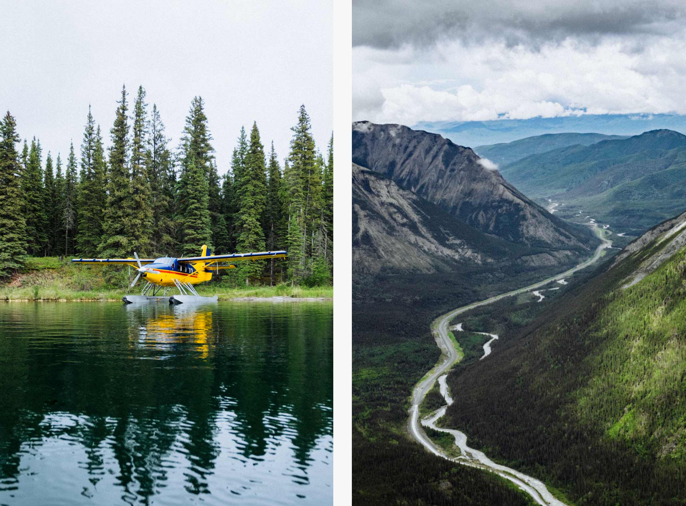
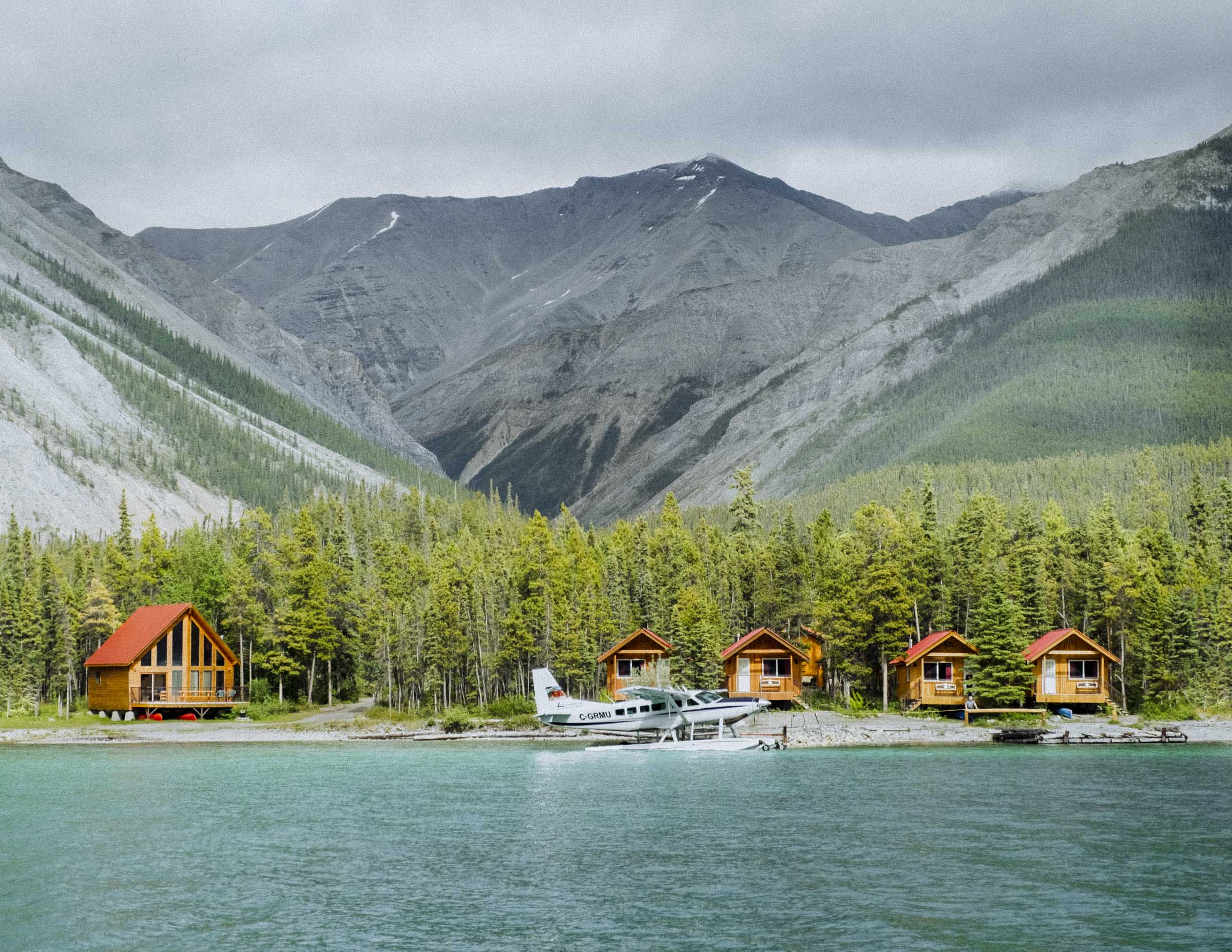
After a night of heavy rain, we were delighted to book a room in the Northern Rockies Lodge to warm up and dry out. Billed as the premier accommodations on the Alaska Highway, it is a new and quite large log house hotel with rustic old world flourishes. Scattered around the main lodge are a bunch of cozy cabins and lakeside chalets with moose antlers hung above the doors. We warmed up, had hot showers and charged our camera batteries, then decided to book a sightseeing flight the next morning.
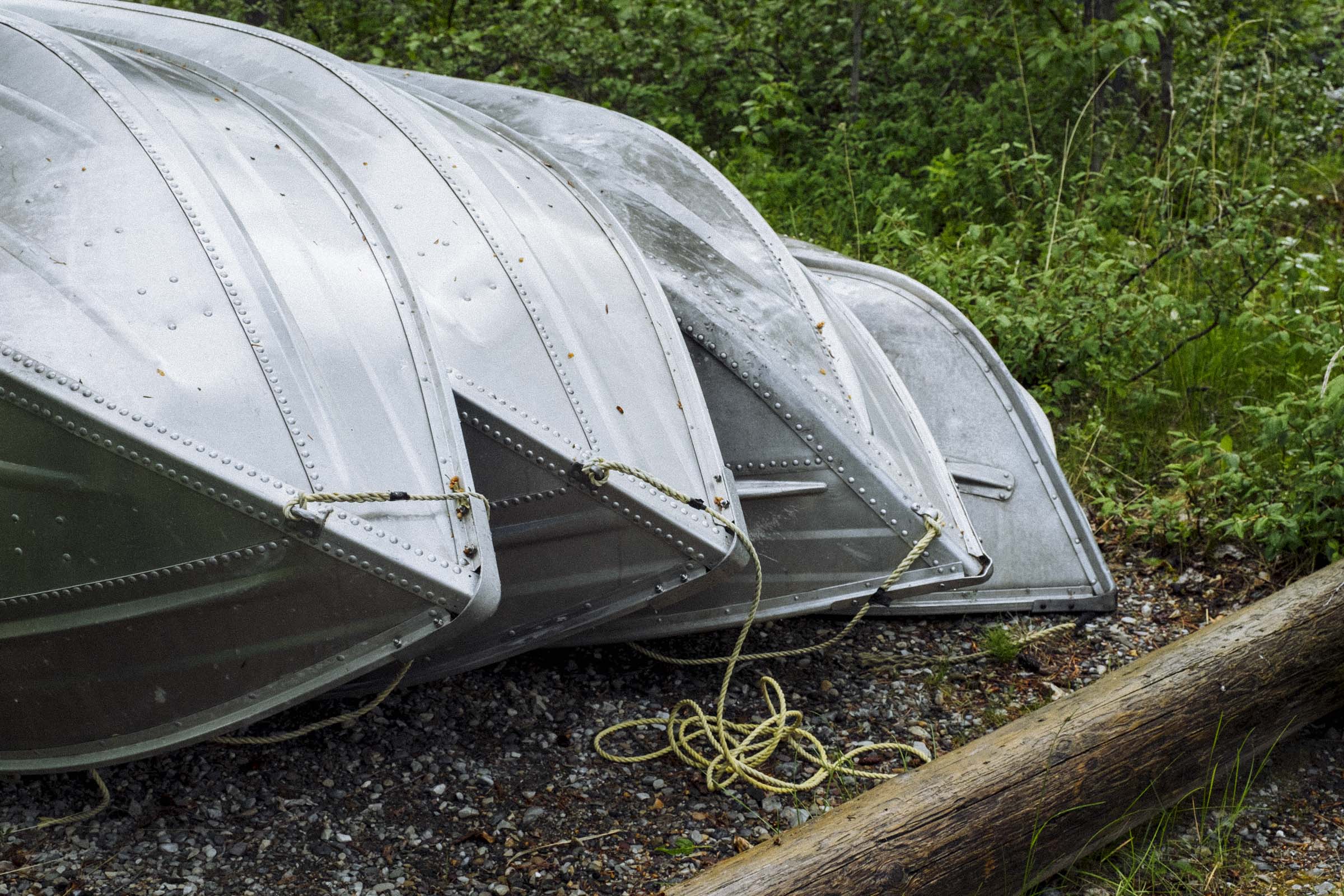
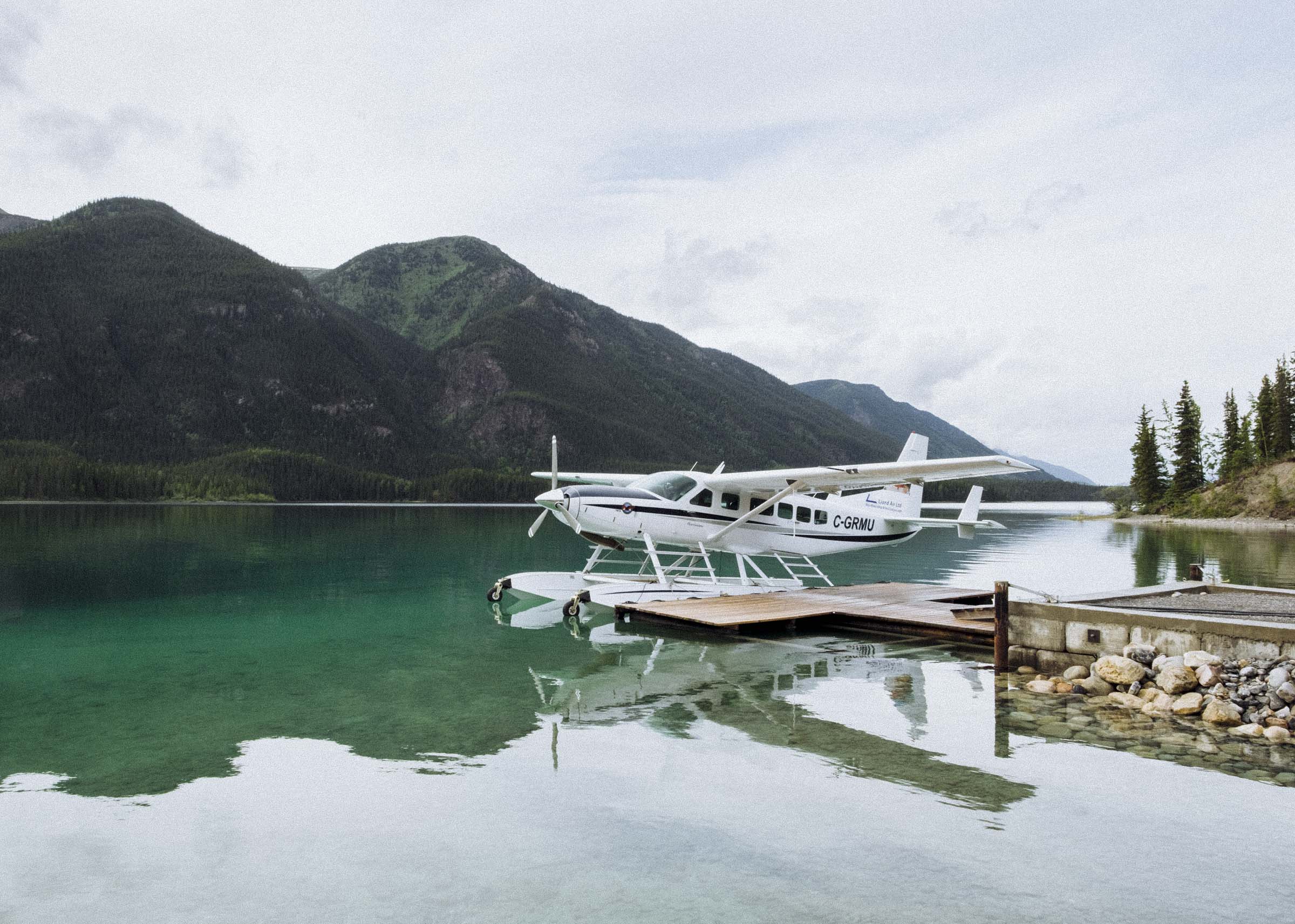
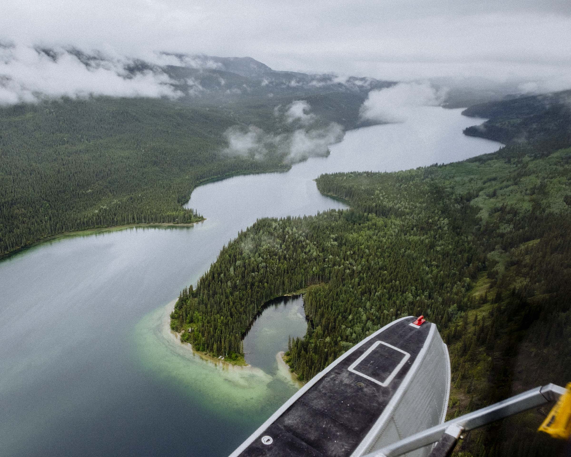
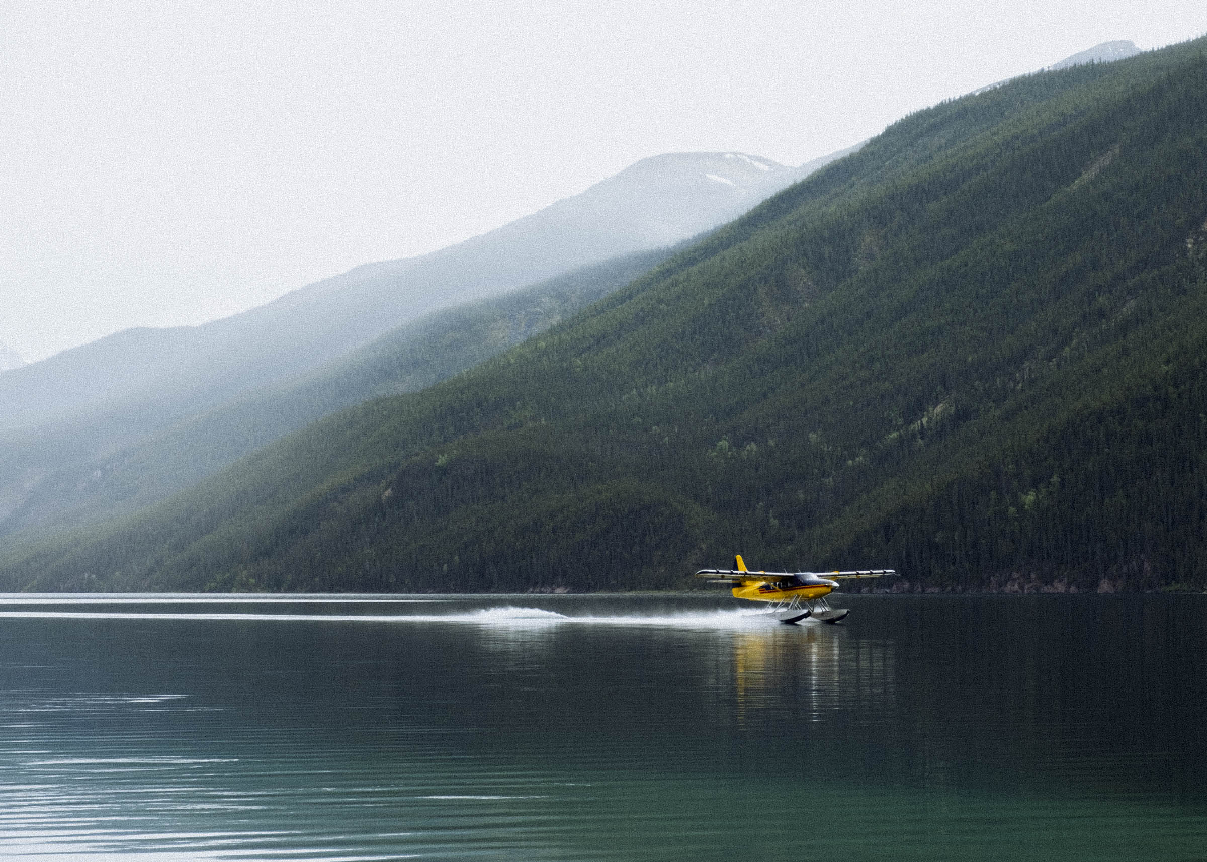
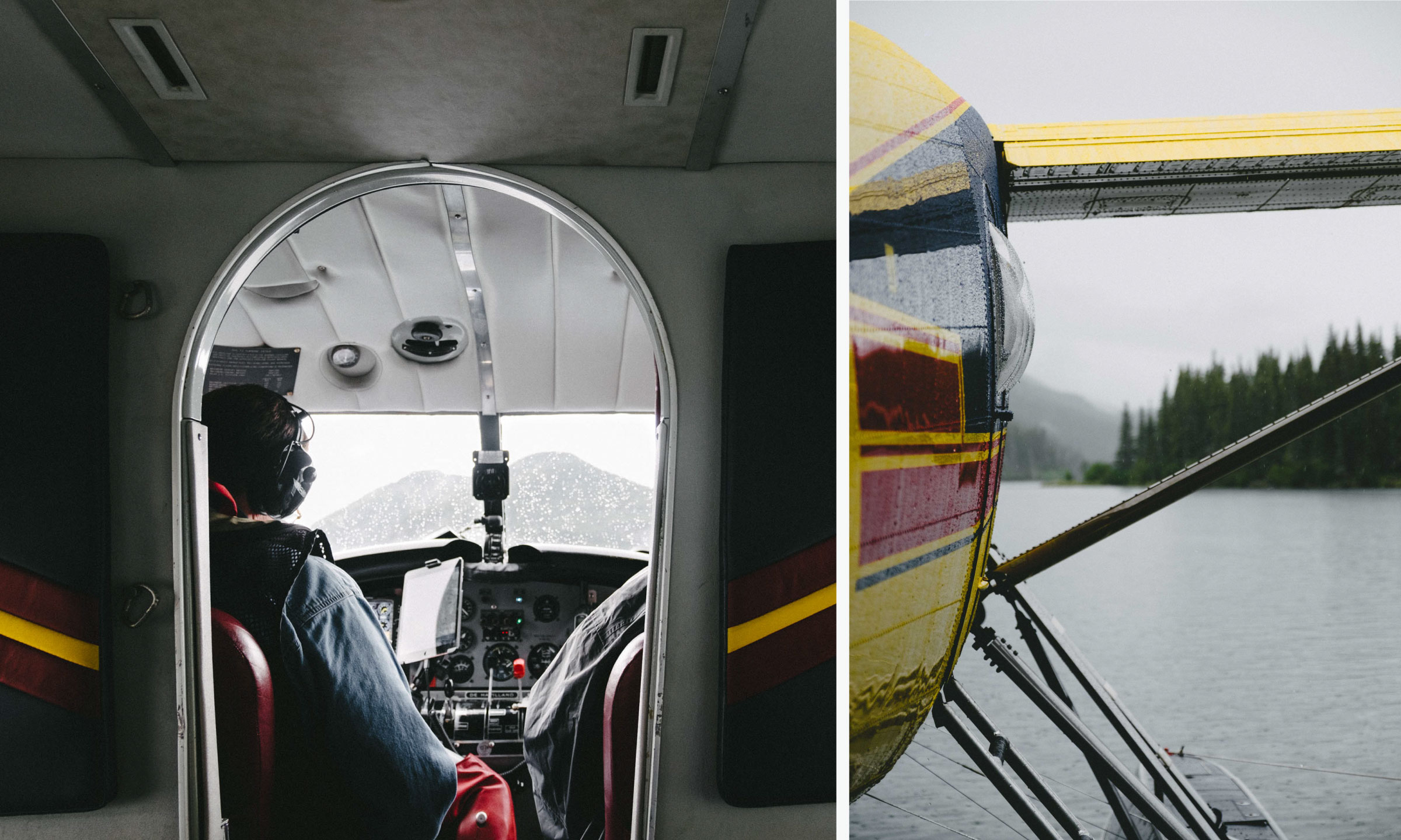
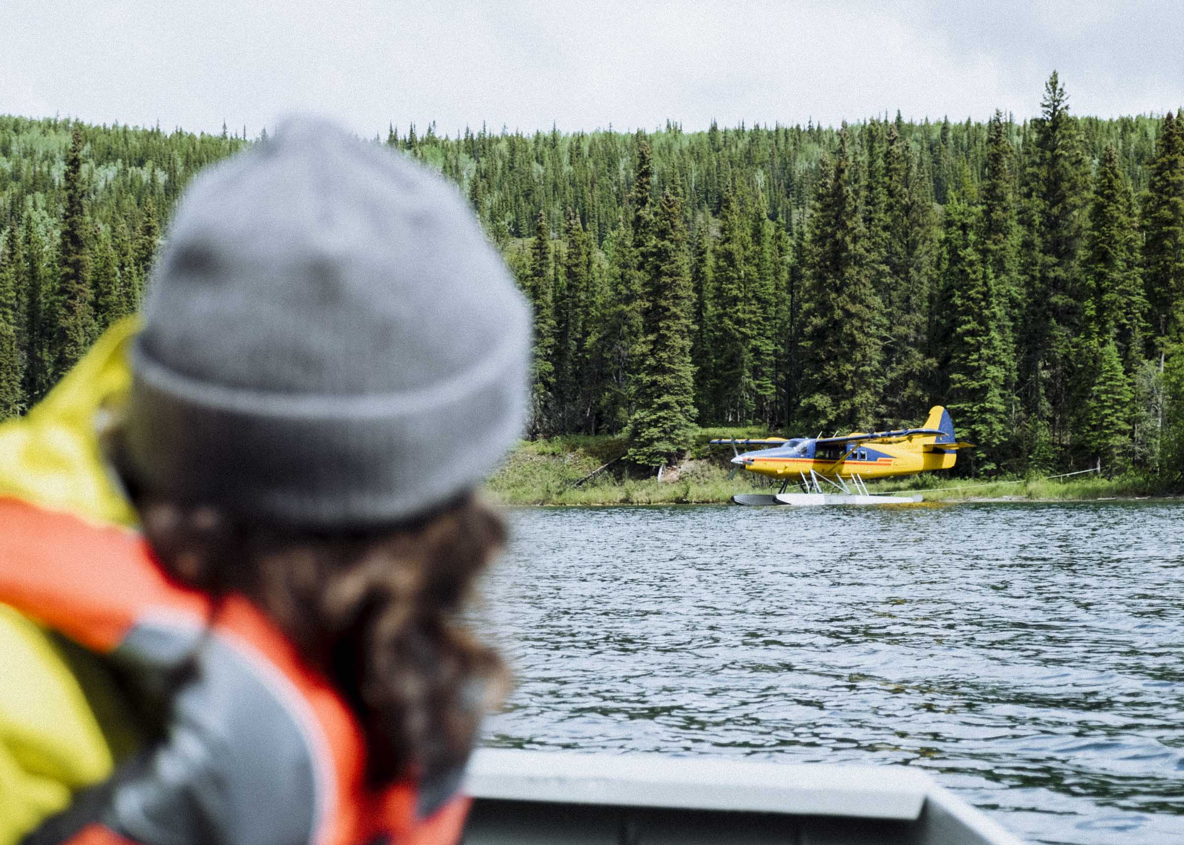
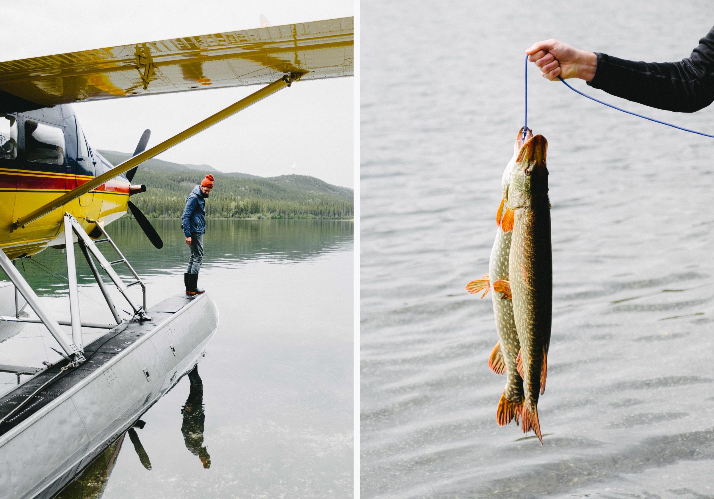
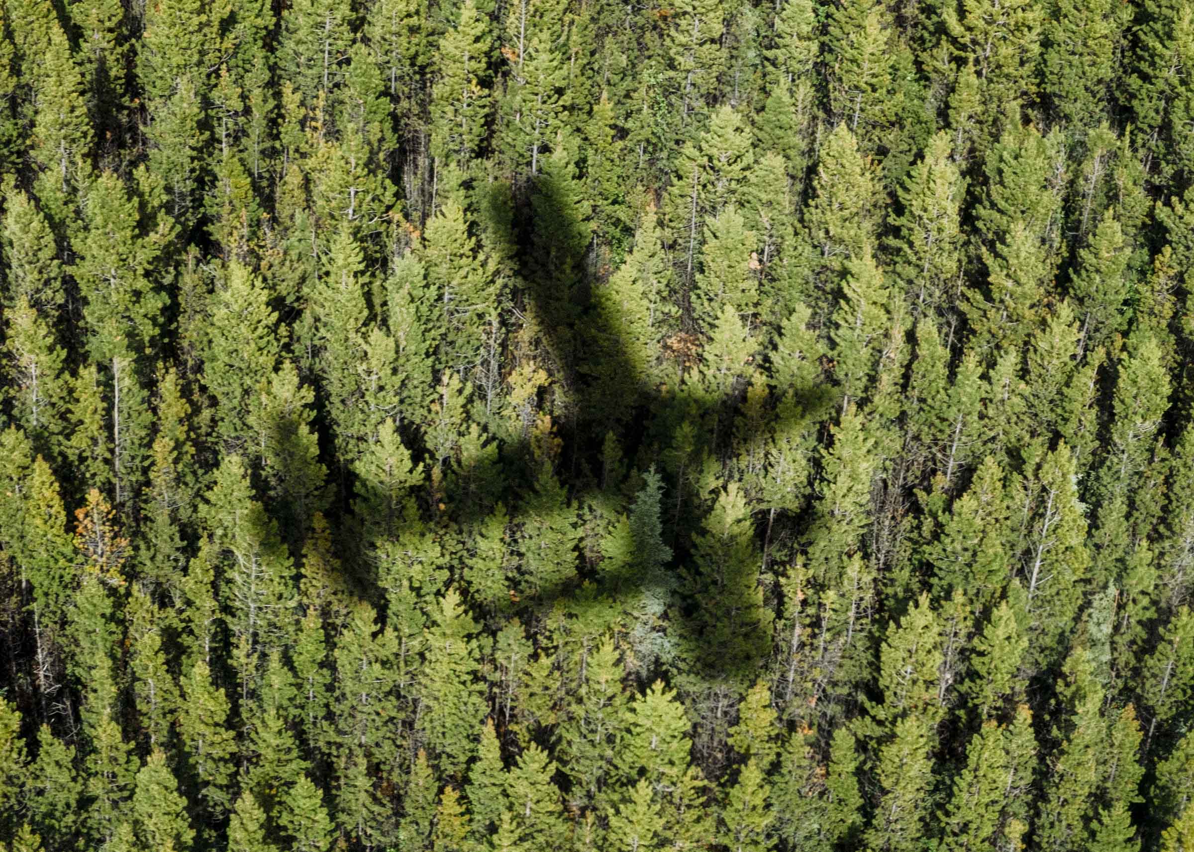
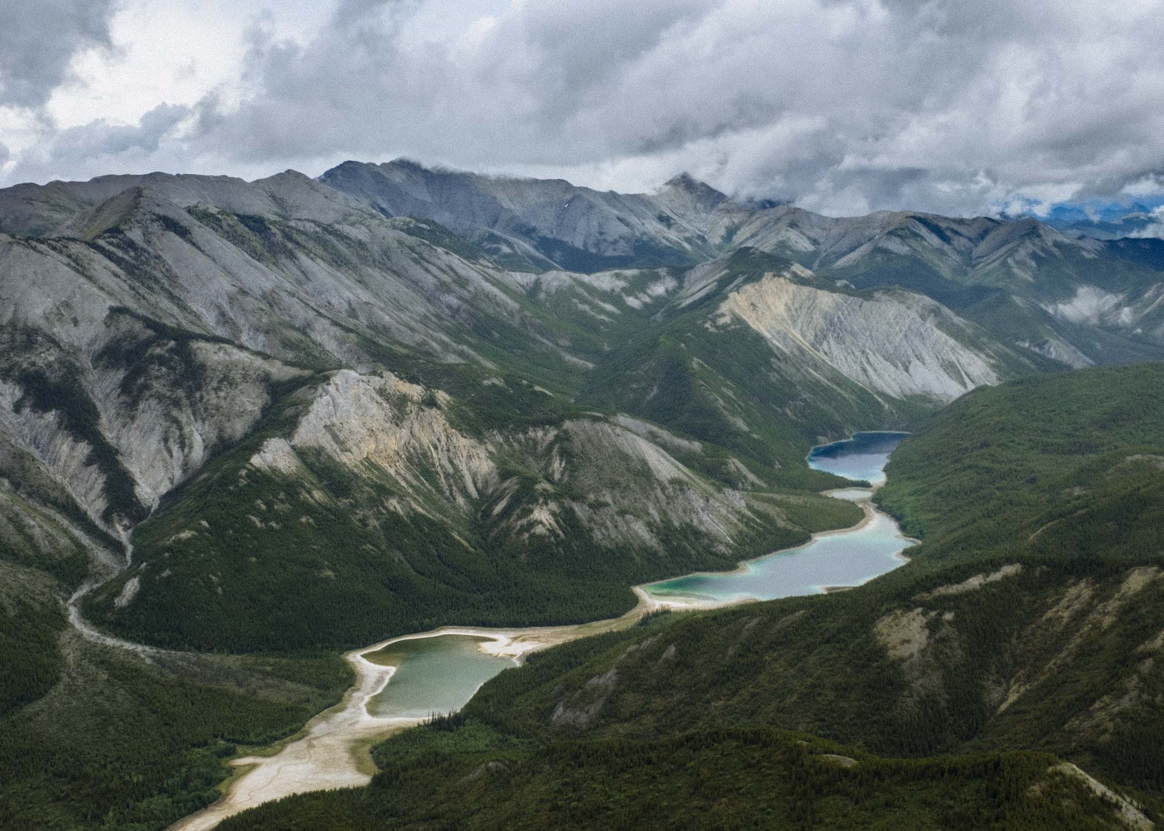
The Northern Rockies Lodge offers world-famous guided floatplane fishing tours, so naturally we tagged along on a fly-in fishing trip. On previous days, Urs, the pilot and lodge proprietor, had flown his guests into the rugged peaks of the snow-clad Rockies, but with storm and rain warnings our trip was to the more forested and rolling region to the northwest, a shorter and safer trip in rough weather. We flew to a long thin lake named Fishing Lake which was full of pike.
It was our first time in a bush plane, and I have to say we liked it quite a bit. Flying in, the clouds were hanging low, filling the valleys and lingering like wisps over the ragged peaks. The lakes were the various hues of greens and blues, and the rolling rocky hills looked almost pillowy from above.
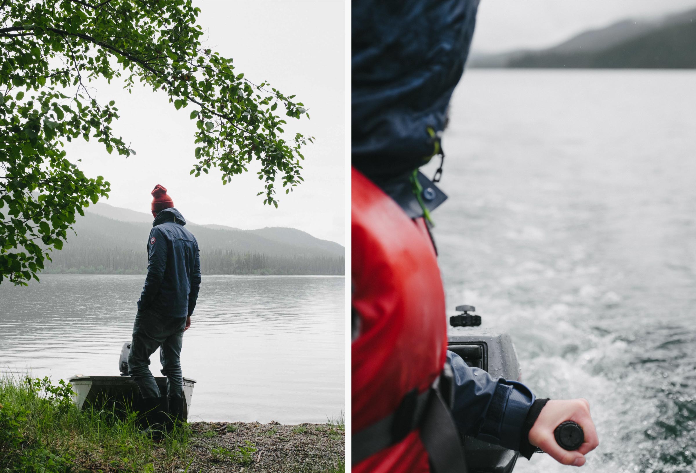
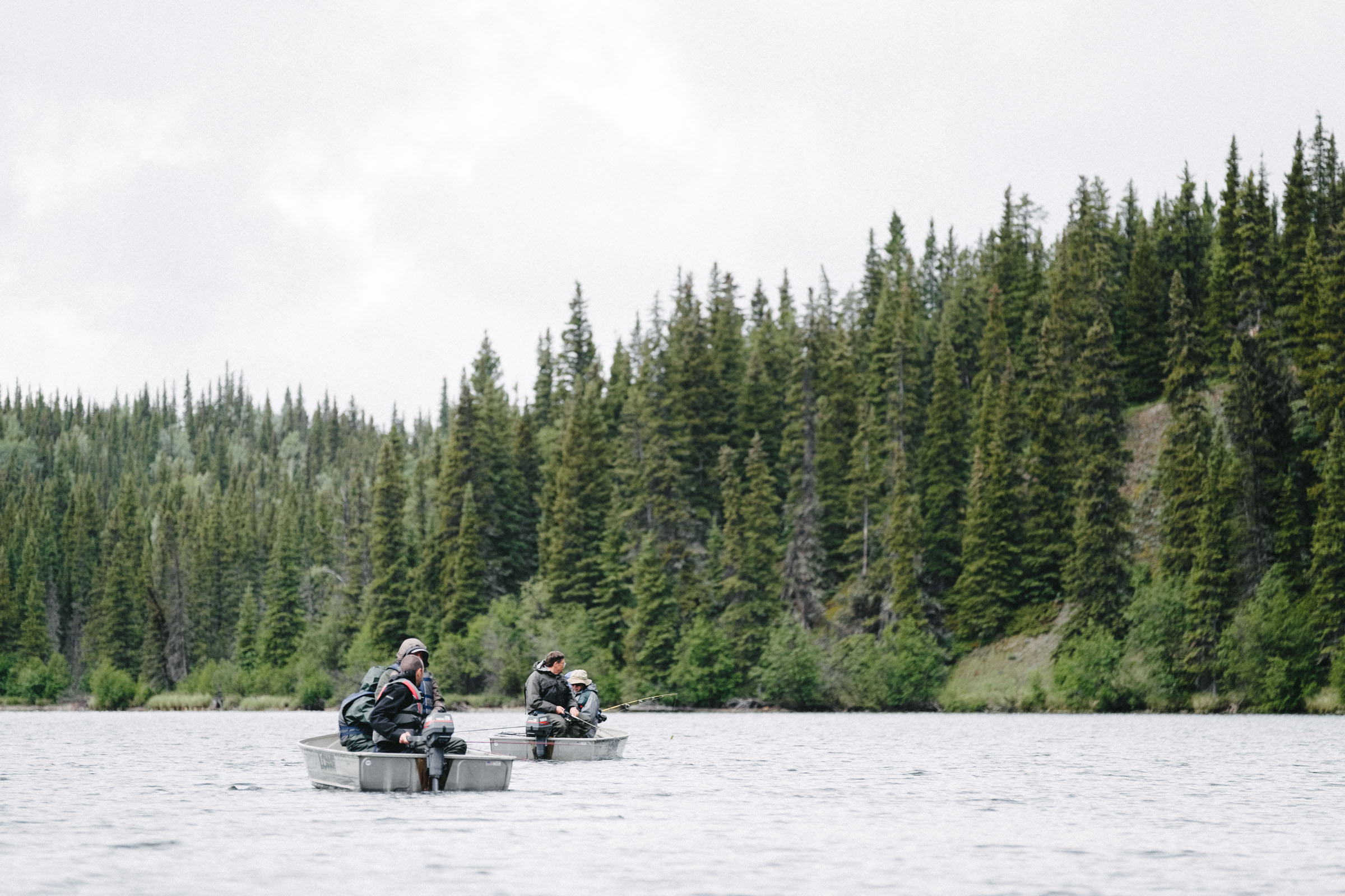
The lodge has boats stashed at different lakes throughout the region, so we simply flew in some motors, hopped in the boats, and went on our way. We followed the fishers for little bit, but not having rods ourselves soon ventured off to explore in the rain. There are two cabins on the lake, one built by a moose hunter and another by a prospector, so we made it our business to find them.


LIARD HOT SPRINGS
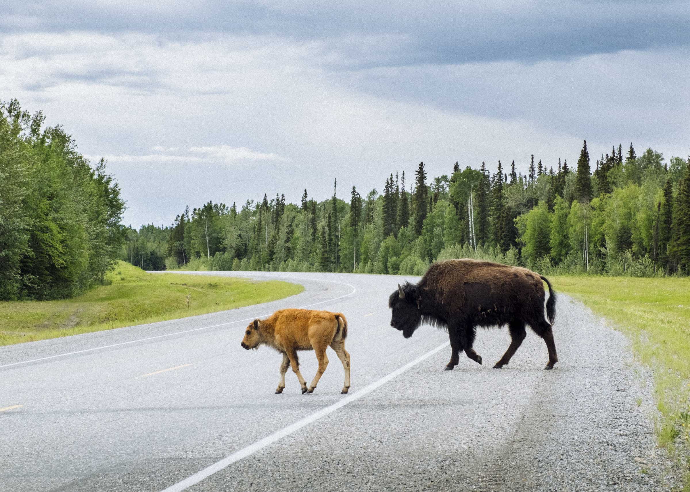
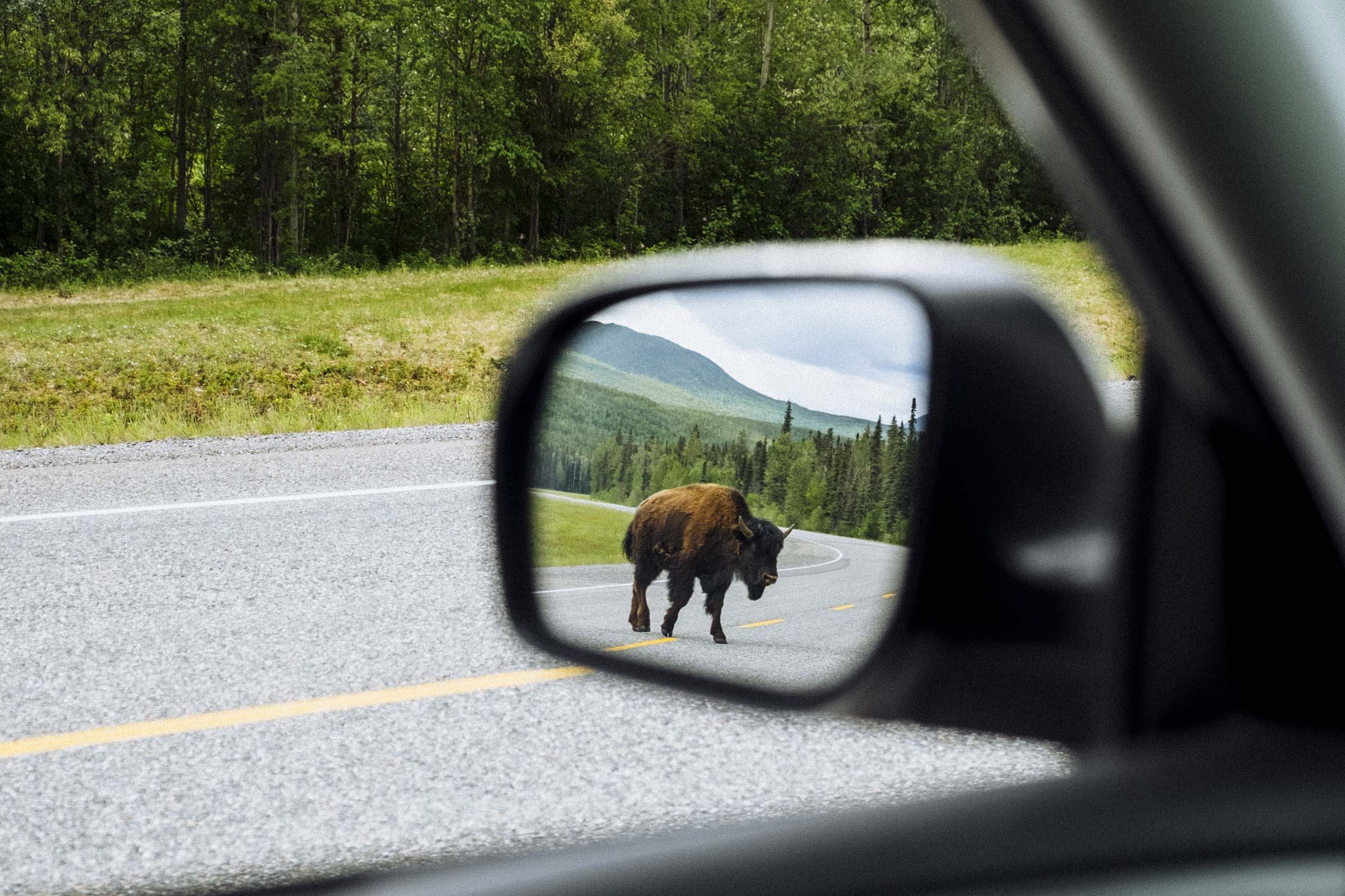
Before descending into the Liard River Valley we met with a herd of buffalo grazing idly on the side of the road. A common sight between Muncho and Watson Lakes, woodland bison are huge animals — the largest land animals in North America — and to be honest it was a little hard to fathom their size. We slowed the car to a crawl as a two bison ambled across the highway in front of us, and kept a keen eye on the mirrors as one crossed behind, too. There is something thrilling about being near animals so large, something that makes you a little wary, a little more alive. It makes you feel good, knowing that such power and potency still exists out there in the wild.
We continued on, dipping down into the river valley. Ahead waited the hotsprings.

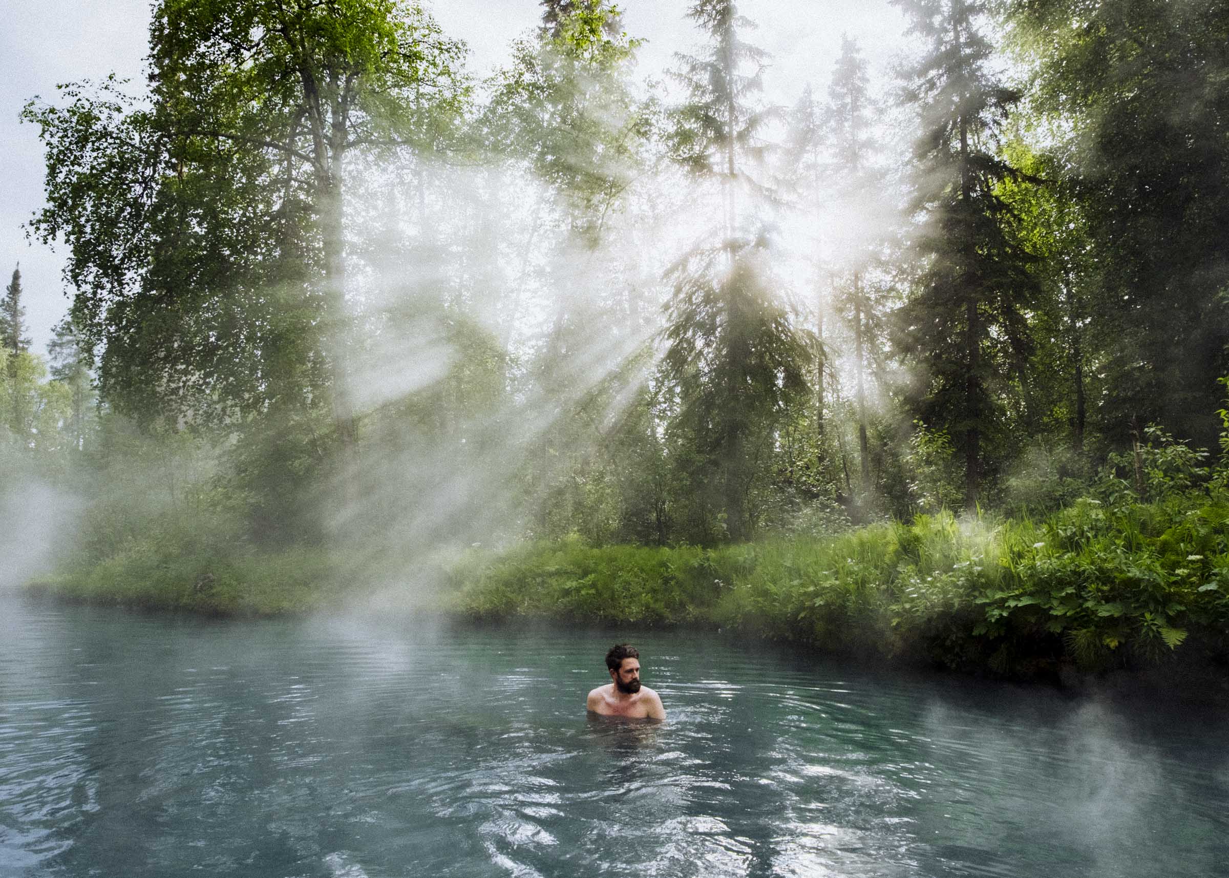
If you had to drive the entire Alaska Highway and only stop once, it'd be hard not to wholeheartedly recommend the Liard River Hot Springs. Everyone we met on the road invariably asked if we were going, or if we'd already been. Heck, people had started recommending it months in advance of our departure. And once we arrived we understood why.
The Liard Hot Springs are like a little tropical oasis in the middle of the boreal, a place worthy of pilgrimage, and quite unlike anything I had ever seen. Walking in, we were greeted first by a grazing moose in the shallow wetlands, then by a teeming variety of lush ferns and rushes and flowers. The facilities have been developed, but in a way that felt utterly in keeping with the wildness of the place. With a gravel creek floor, mud banks, and a thick drapery of green foliage on all sides it felt like we were just swimming in a hot creek. It was magnificent.
The Hotspring has several pools, and the water grows progressively cooler the further down the creek you explore. At the top it can be mighty hot — perfect for a rainy day, and a perfect way to rejuvenate your road-weary body for a couple hours. Or days... there's a campground, too.
The weather had been changeable all week with intermittent downpours, and today was no exception. We slipped into the water just as the sun bloomed above the forest in a cascade of rays. We explored a bit, thrilled by the beauty of the place, and in minutes the sun gave way to thick sheets of rain. Then the sun would come out again, then rain. He huddled under the hot water, letting the full rush of weather wash over us.


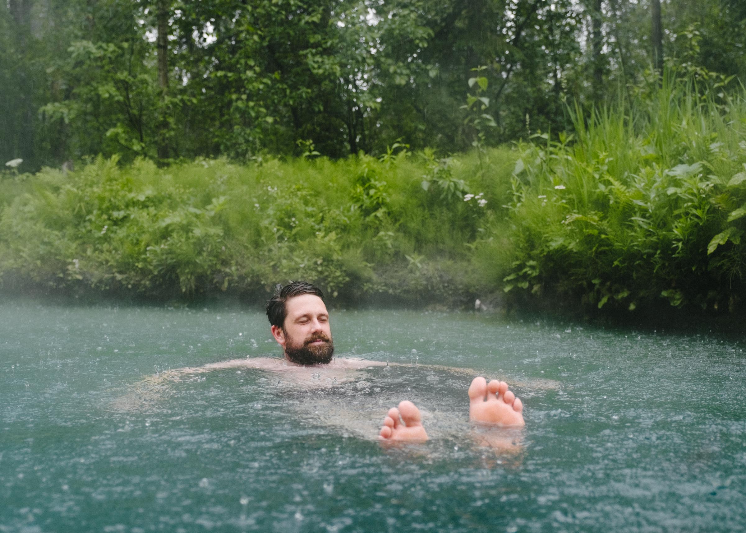
We stayed in the hotsprings for a few hours, slowly releasing the week's rainy chills until we were ruddied and fully readied to resume our life on the road. We reluctantly returned to the car, laid our towels and bathing suits in the back, grabbed a snack, and eased into our chairs. If only every day of every trip could end just like this.
Big thanks to Destination BC for helping make this trip possible